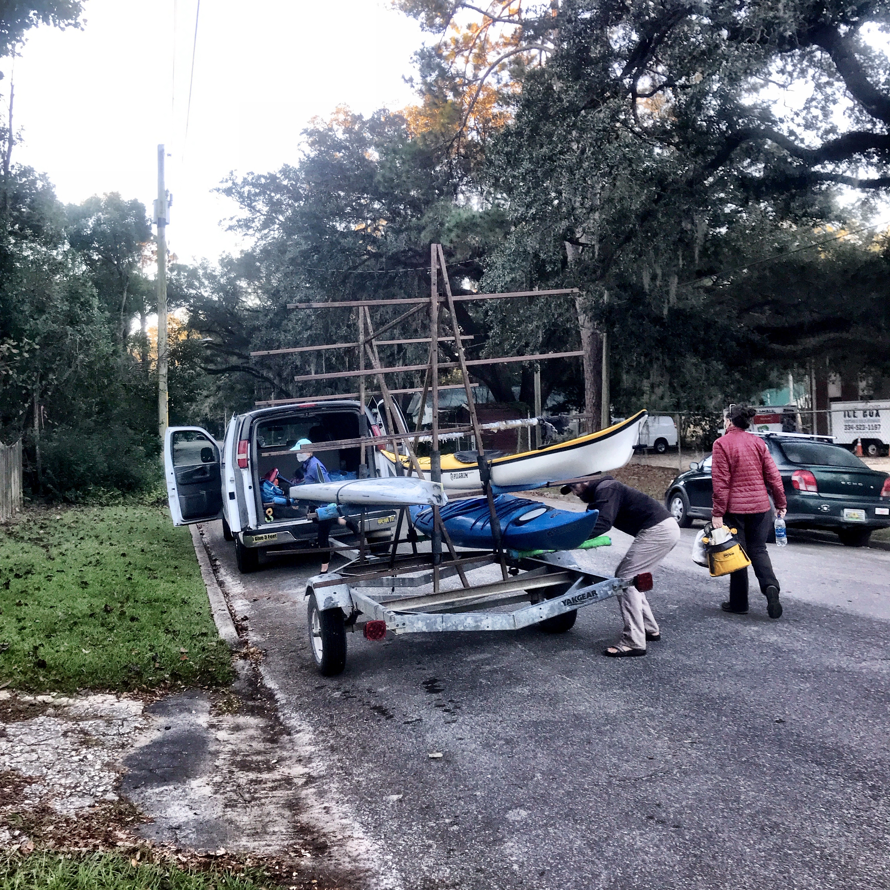
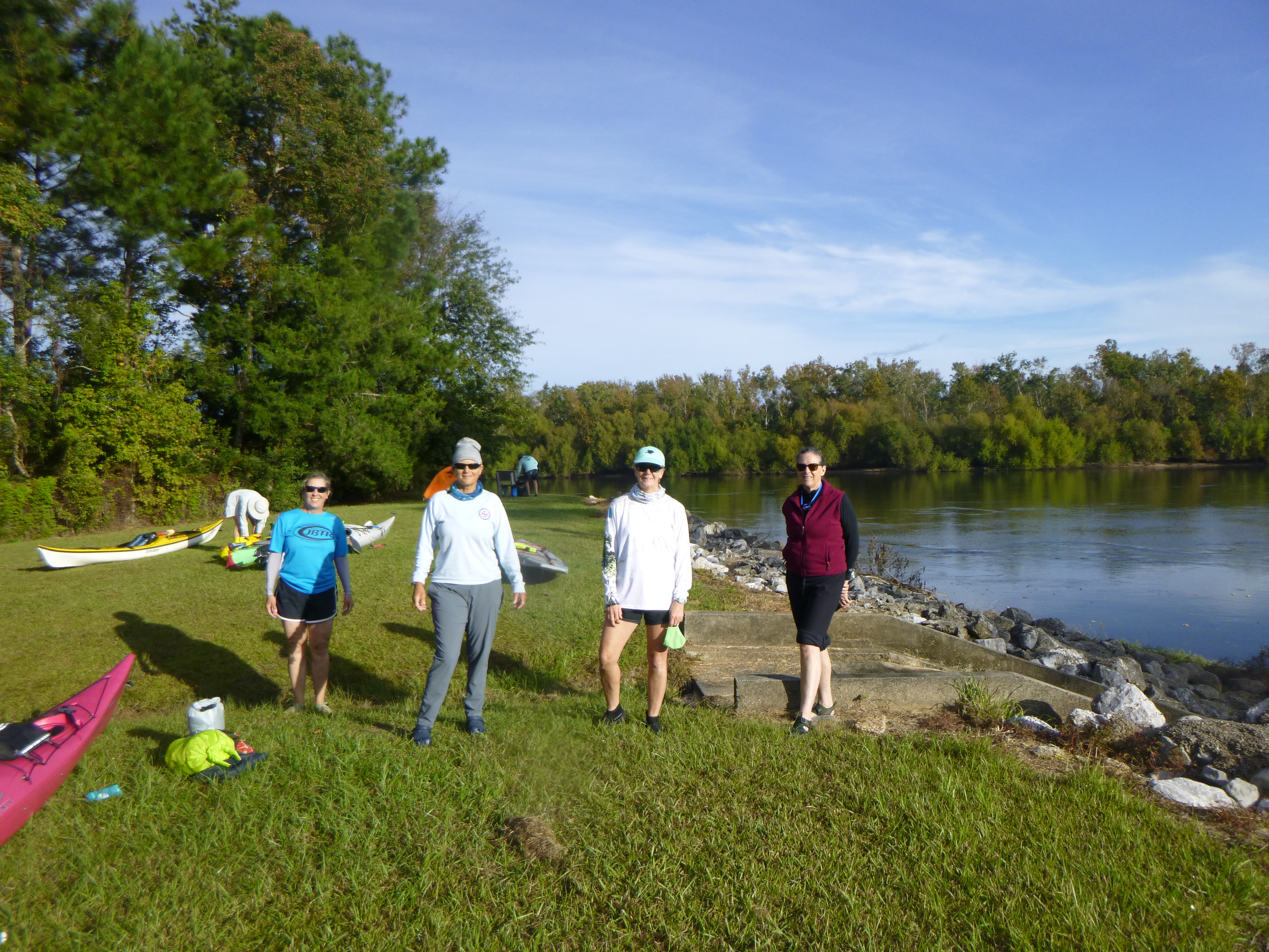
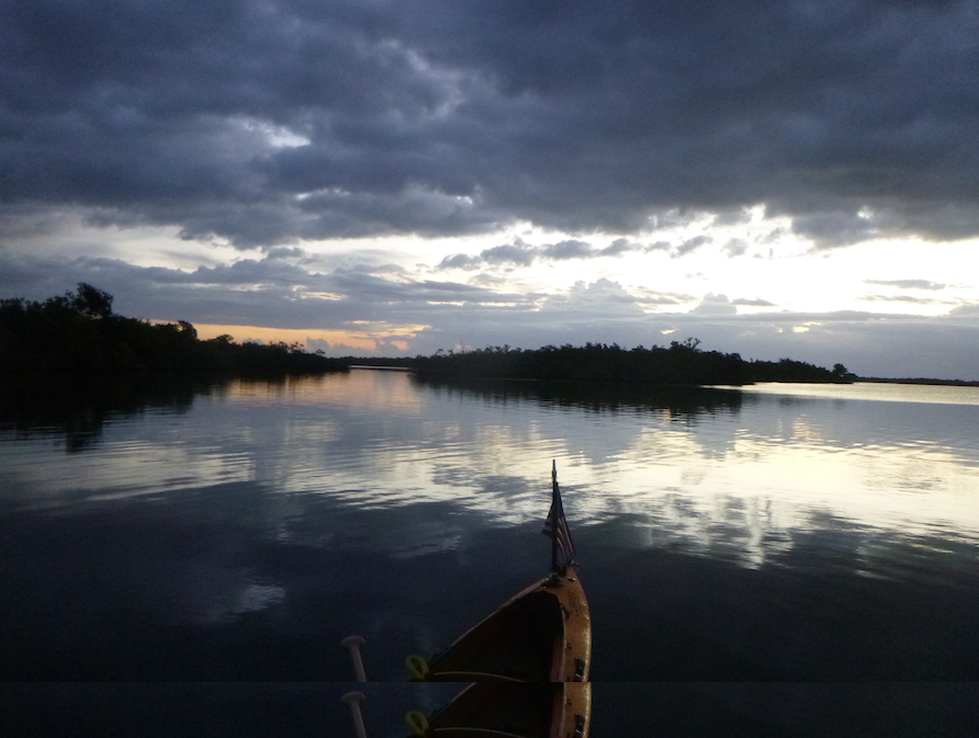
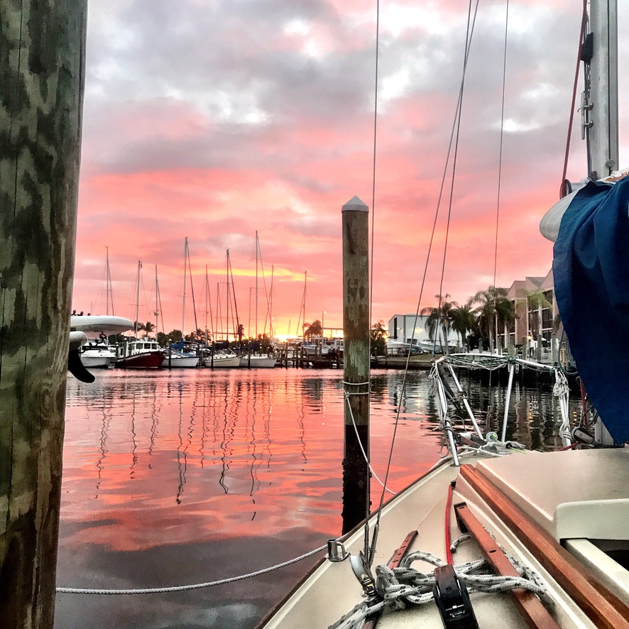
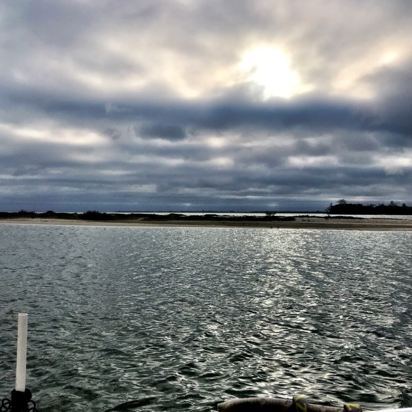
No better way to spend a balmy November week in Florida than paddling the Ten Thousand Islands. Post hurricane season and before waves of northern fronts and tourists. Janice, Director of Paddle Florida, and I both needed to scout for different reasons. Janice for an upcoming Paddle Florida trip, and me for the Everglades Challenge in March. We had done multiple trips to the south, and it was time for a new adventure.
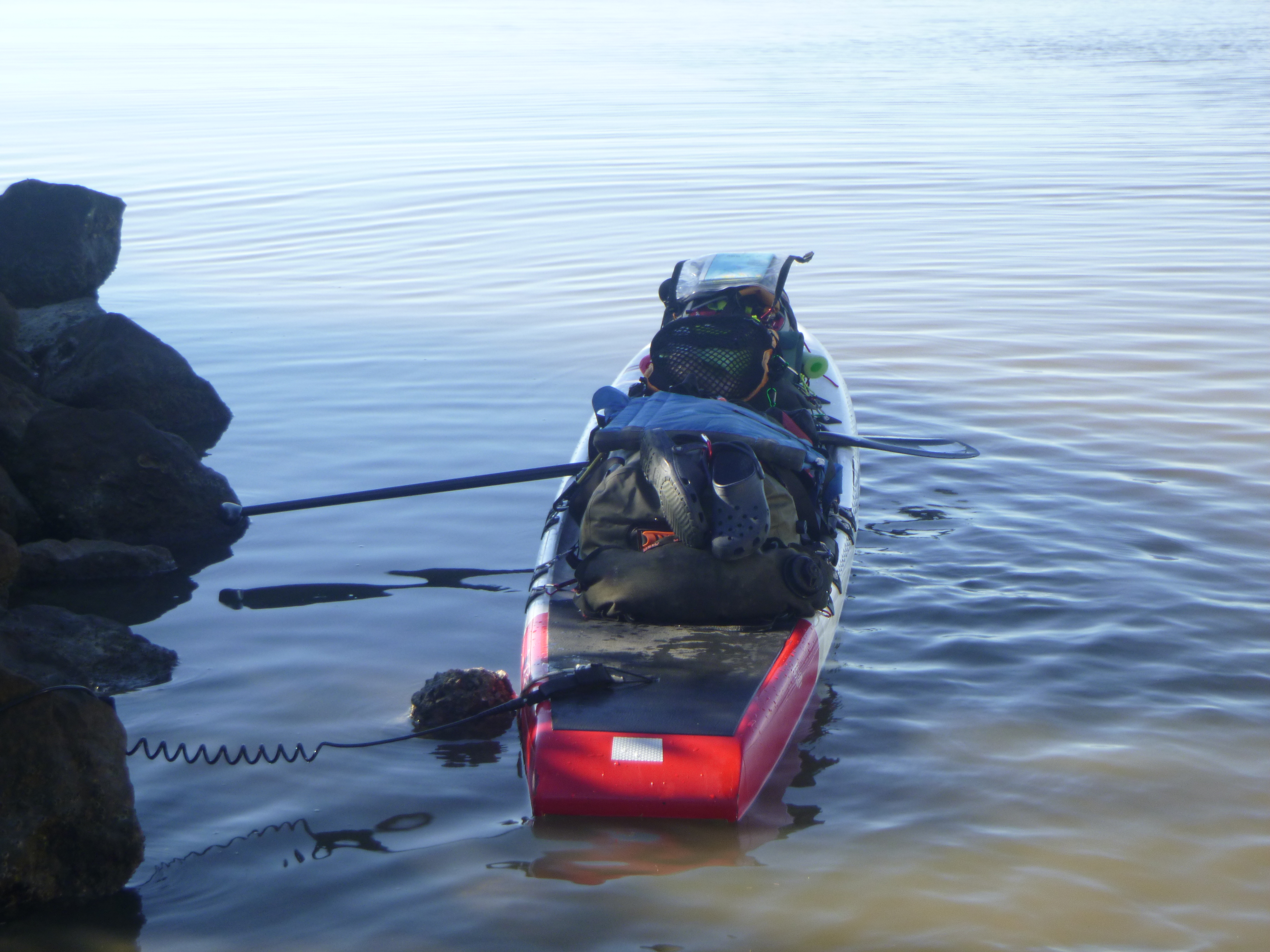
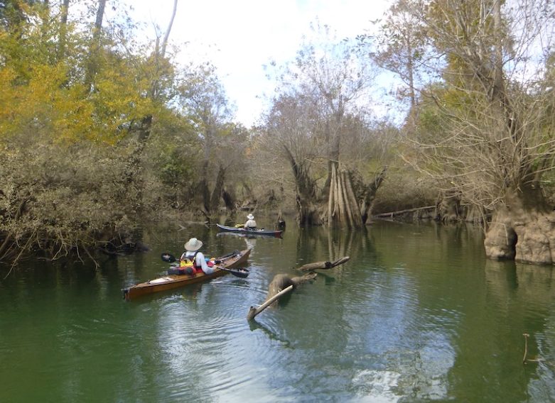
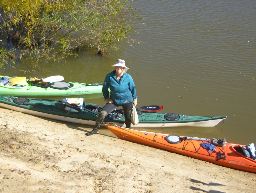
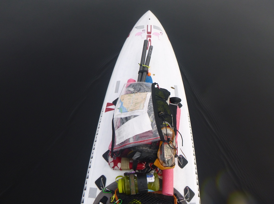
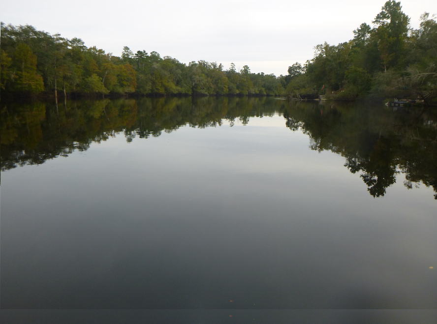
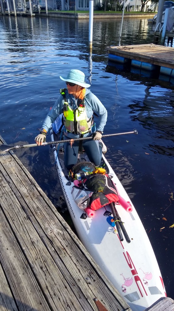
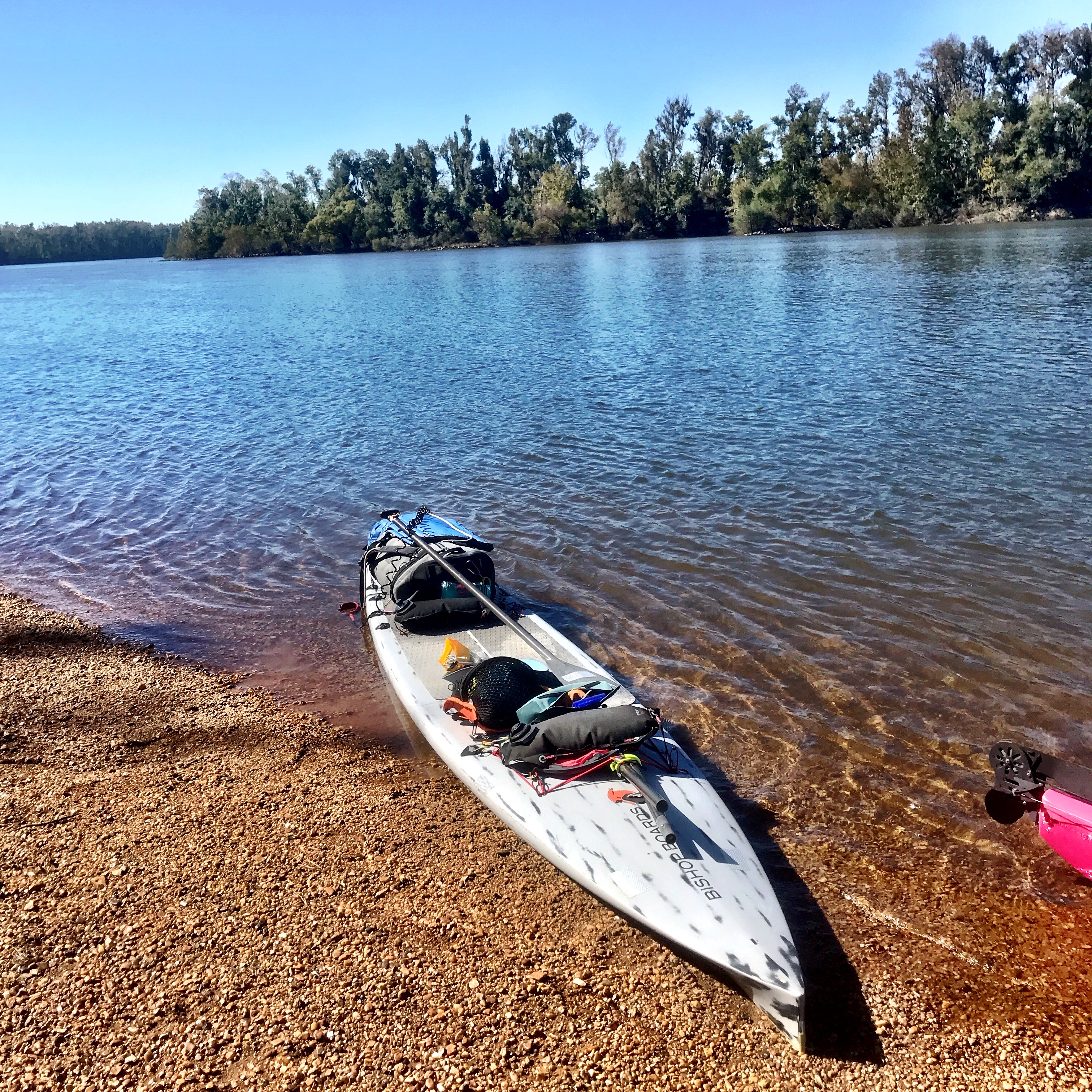
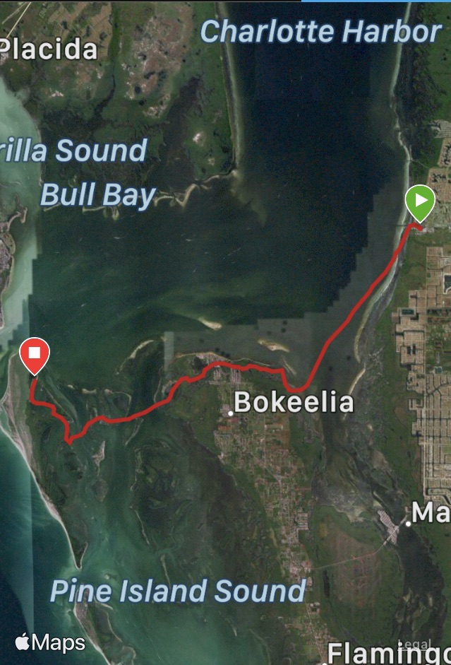
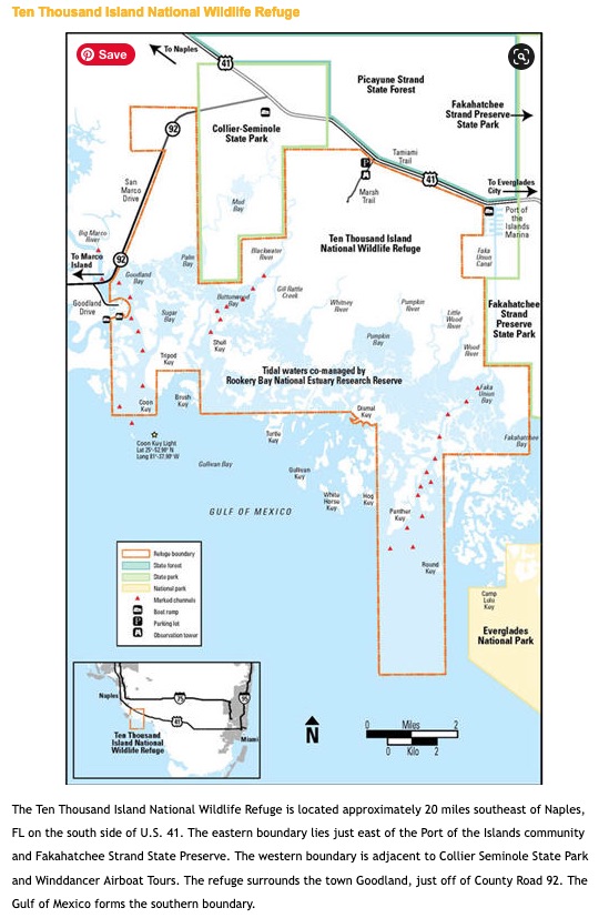
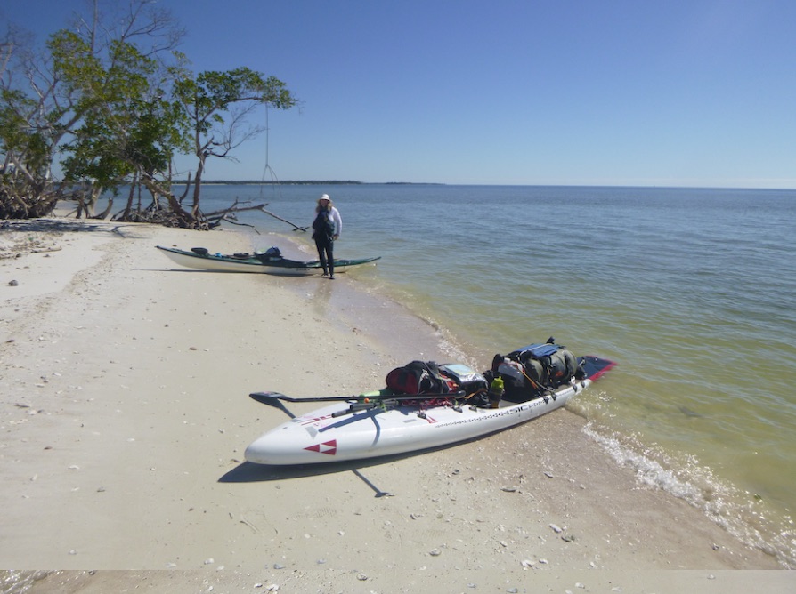
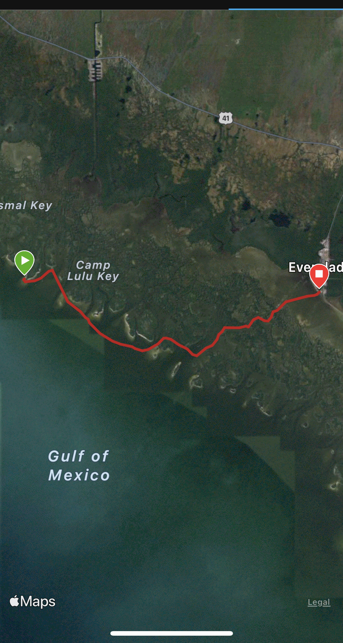
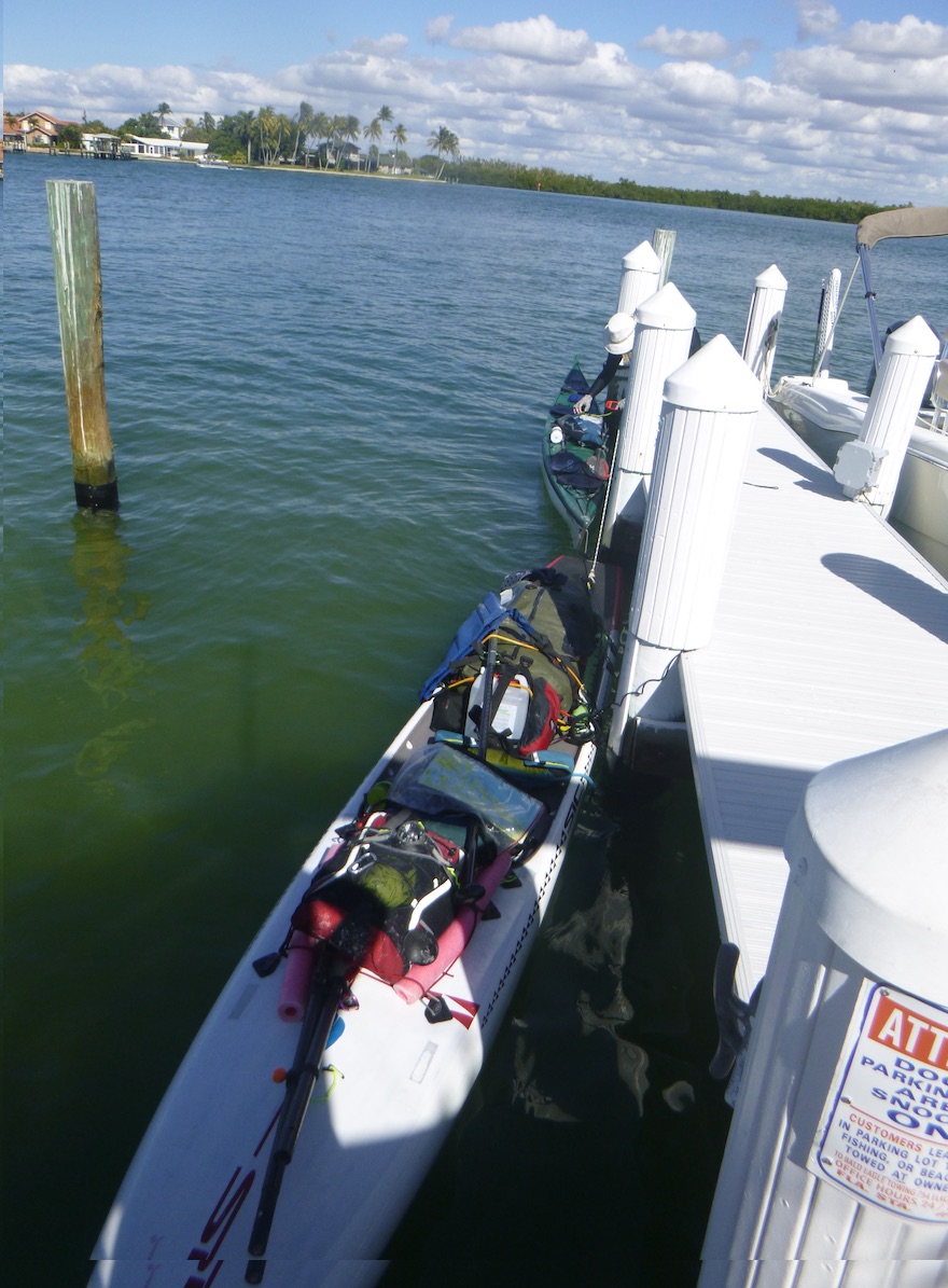
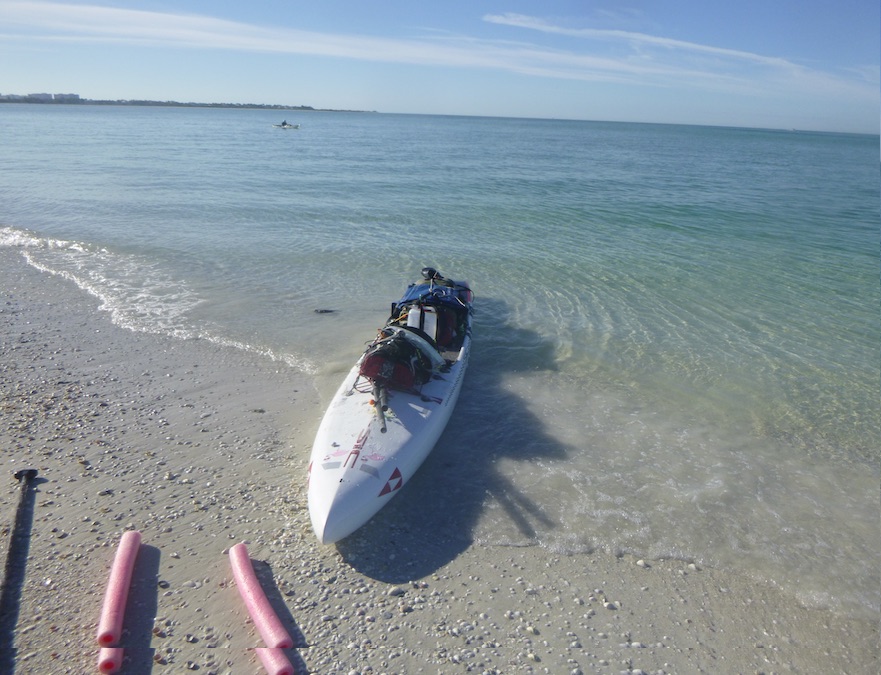
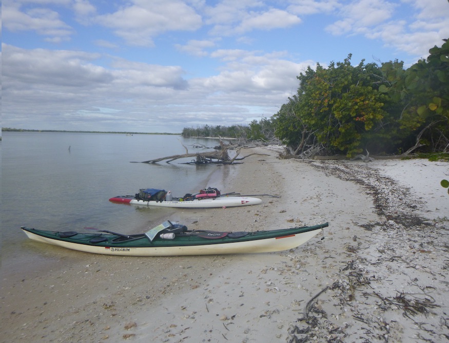
We launched from the Ranger Station in Everglades City and headed northwest towards the Ten Thousand Islands National Wildlife Refuge. Janice in her NDK Pilgrim Expedition, and I on my SIC RS 14′ x 26. The first day of paddling was familiar from previous trips—Indian Key Pass, Picnic and Tiger Keys, and Camp Lulu Key, where we crossed out of the Everglades National Park.
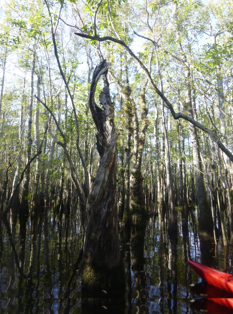
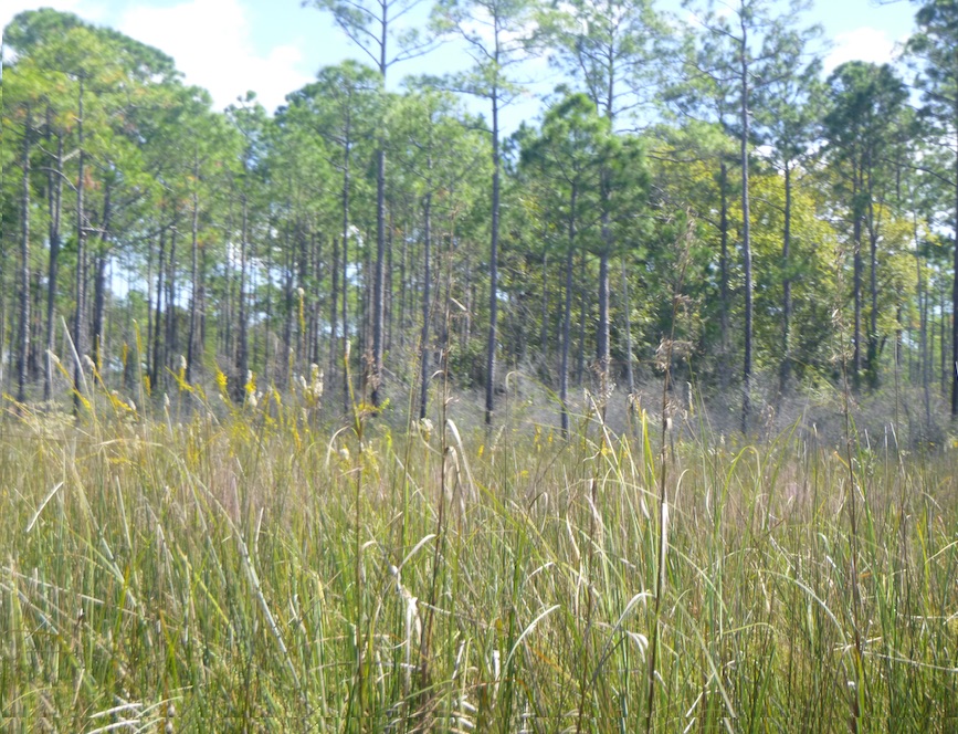
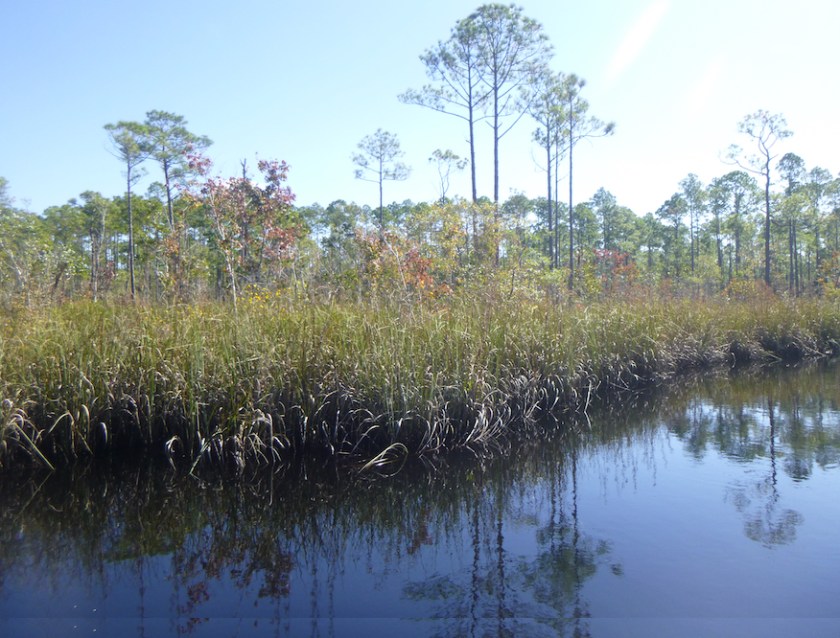
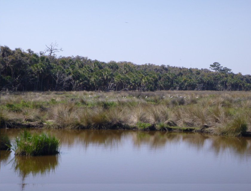
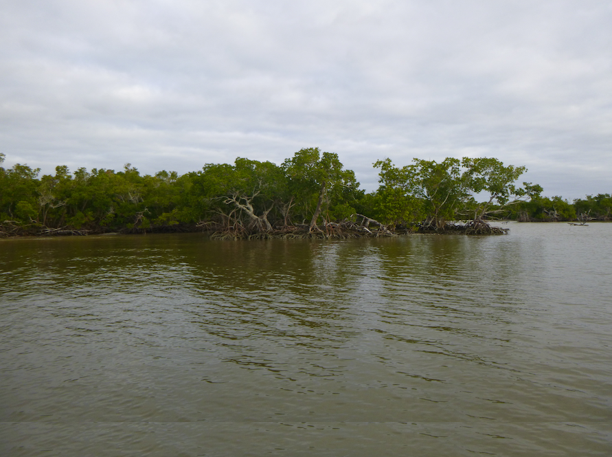
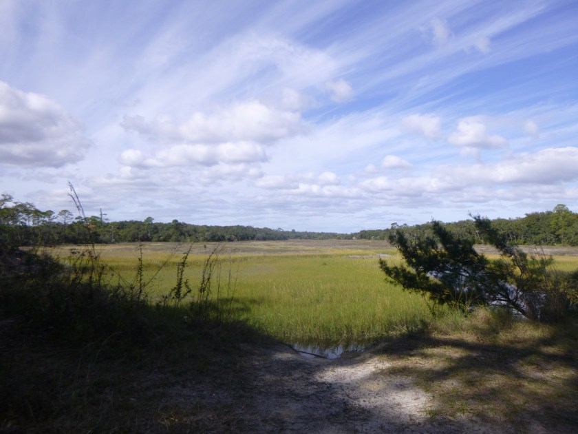
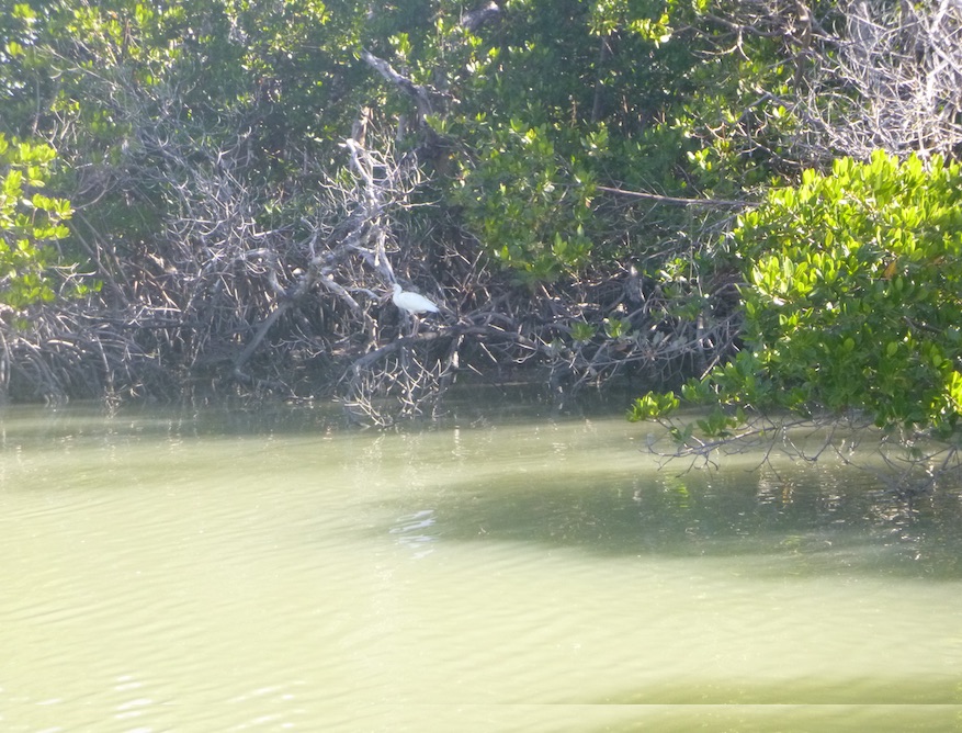
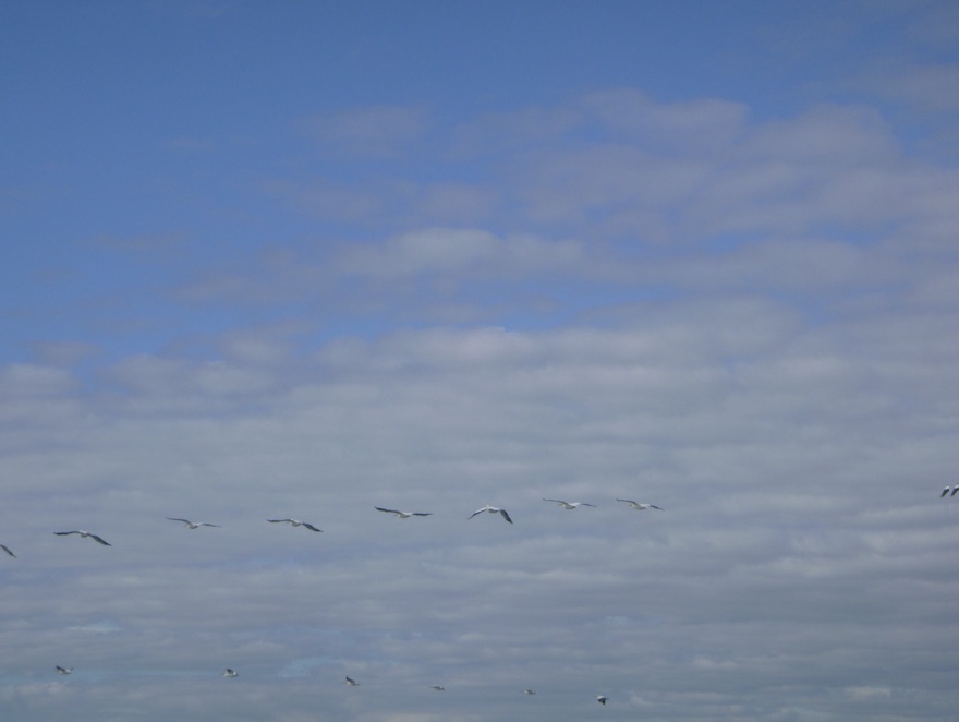
While Janice and I took note of the various agency boundaries, the birds flying overhead and the sharks swimming below did not. The flora and fauna of the Everglades, Ten Thousand Islands and Rookery Bay are breathtaking. Well, maybe not the raccoons.
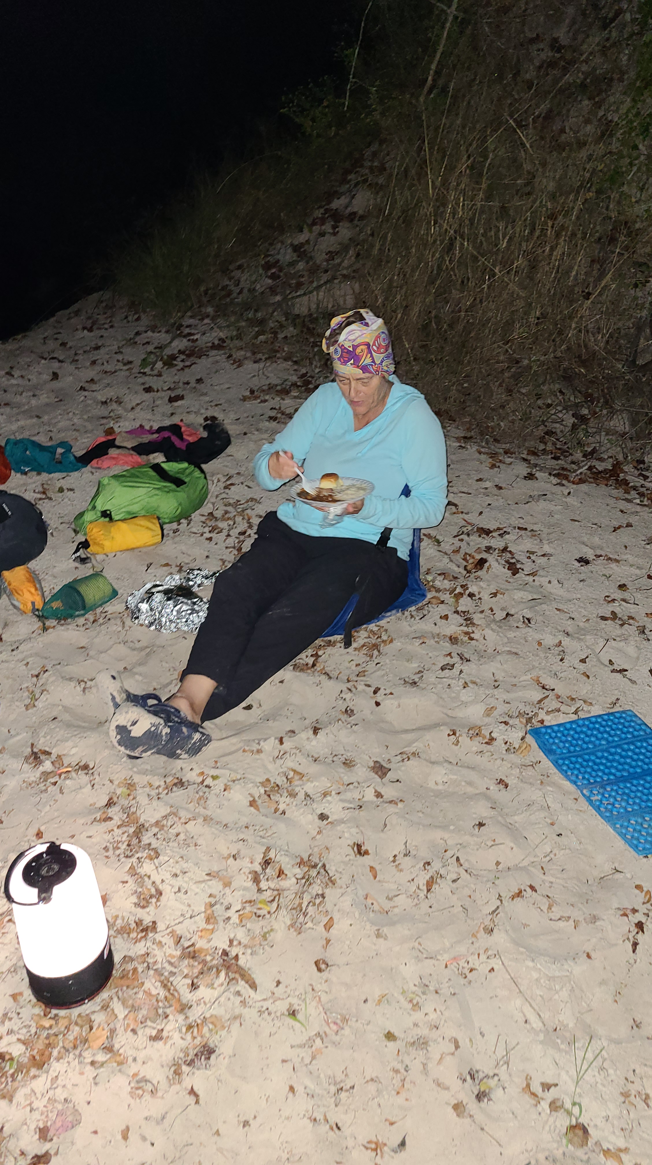
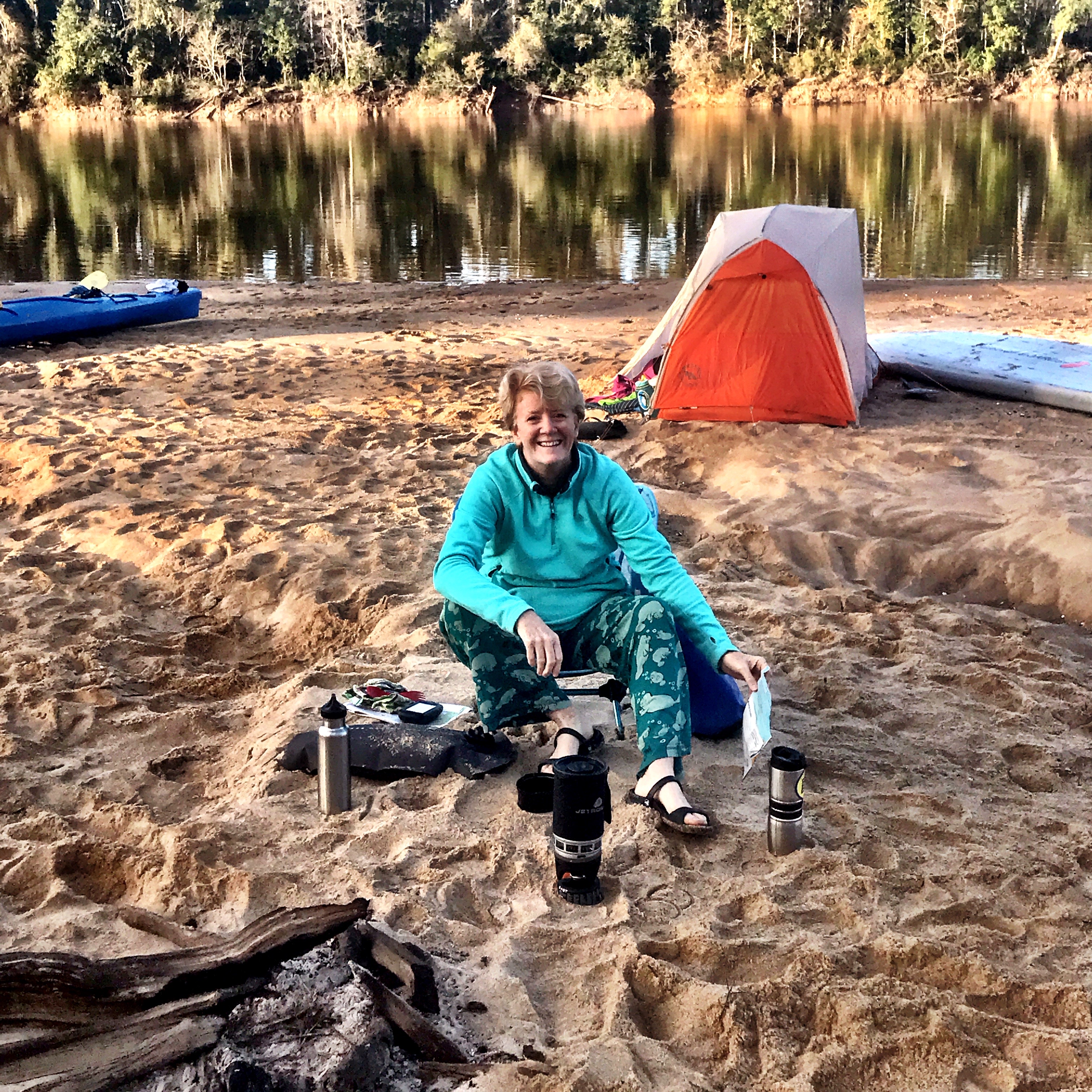
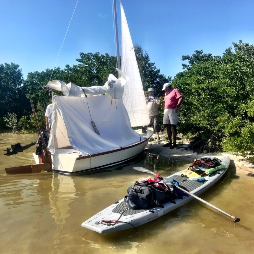
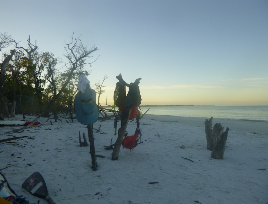
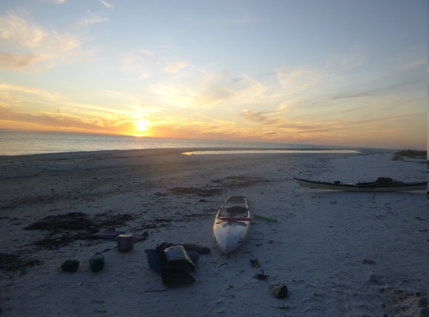
After a brazen raccoon cut our lunch break short, we continued past Panther Key to our first campsite: White Horse Key. Despite rumors to the contrary, there are plenty of raccoons in the Ten Thousand islands and Everglades. I’ve met many of them.

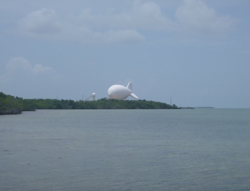
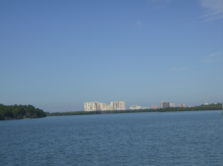
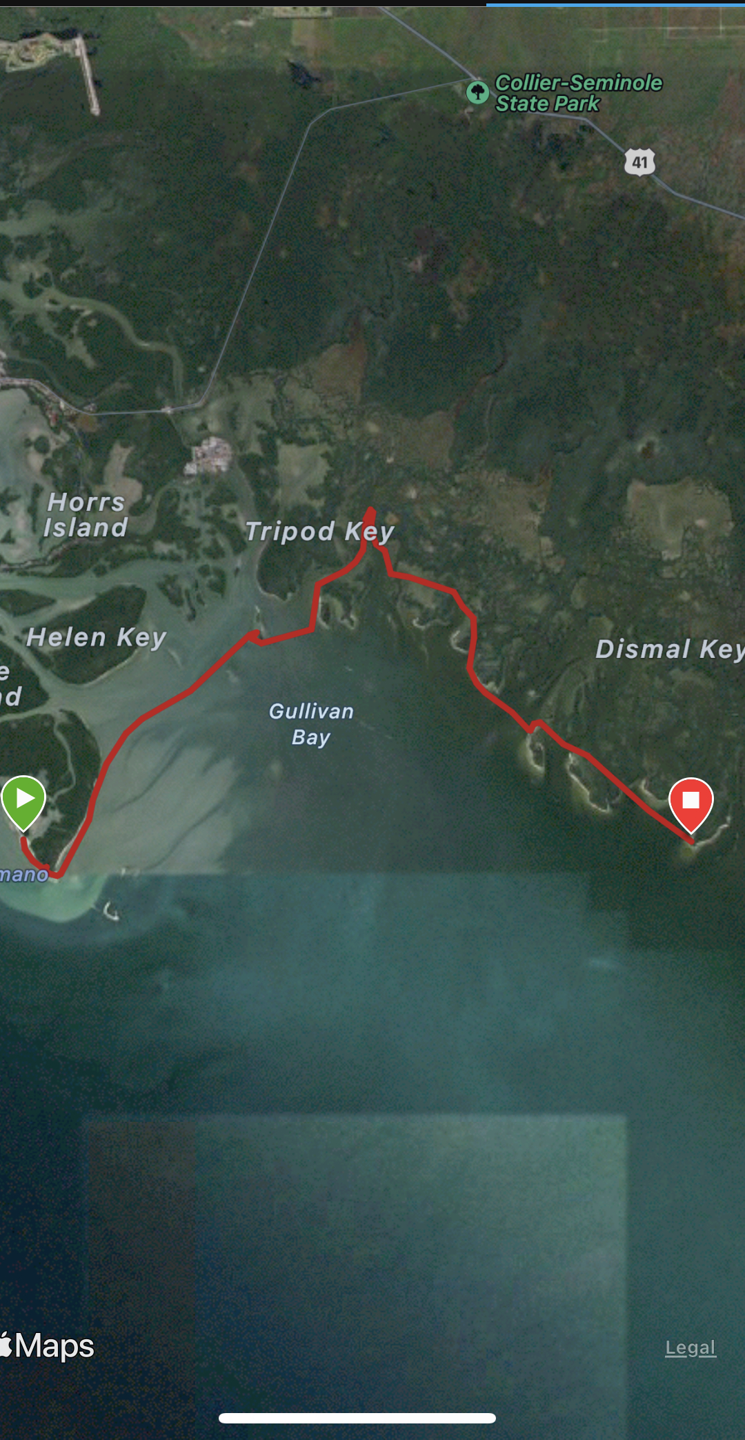
The next morning, we continued northwest. As soon as we rounded the corner of Gullivan Key, the hulking buildings of Marco Island appeared. They stalked us for the next 5 days..

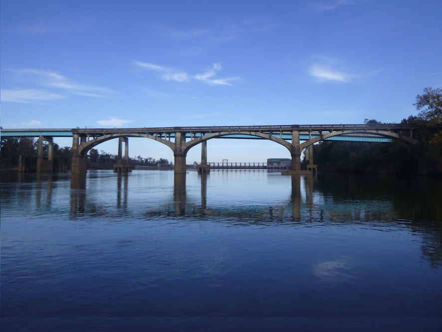
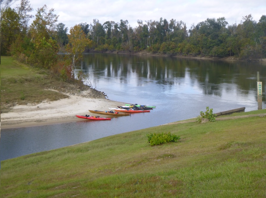
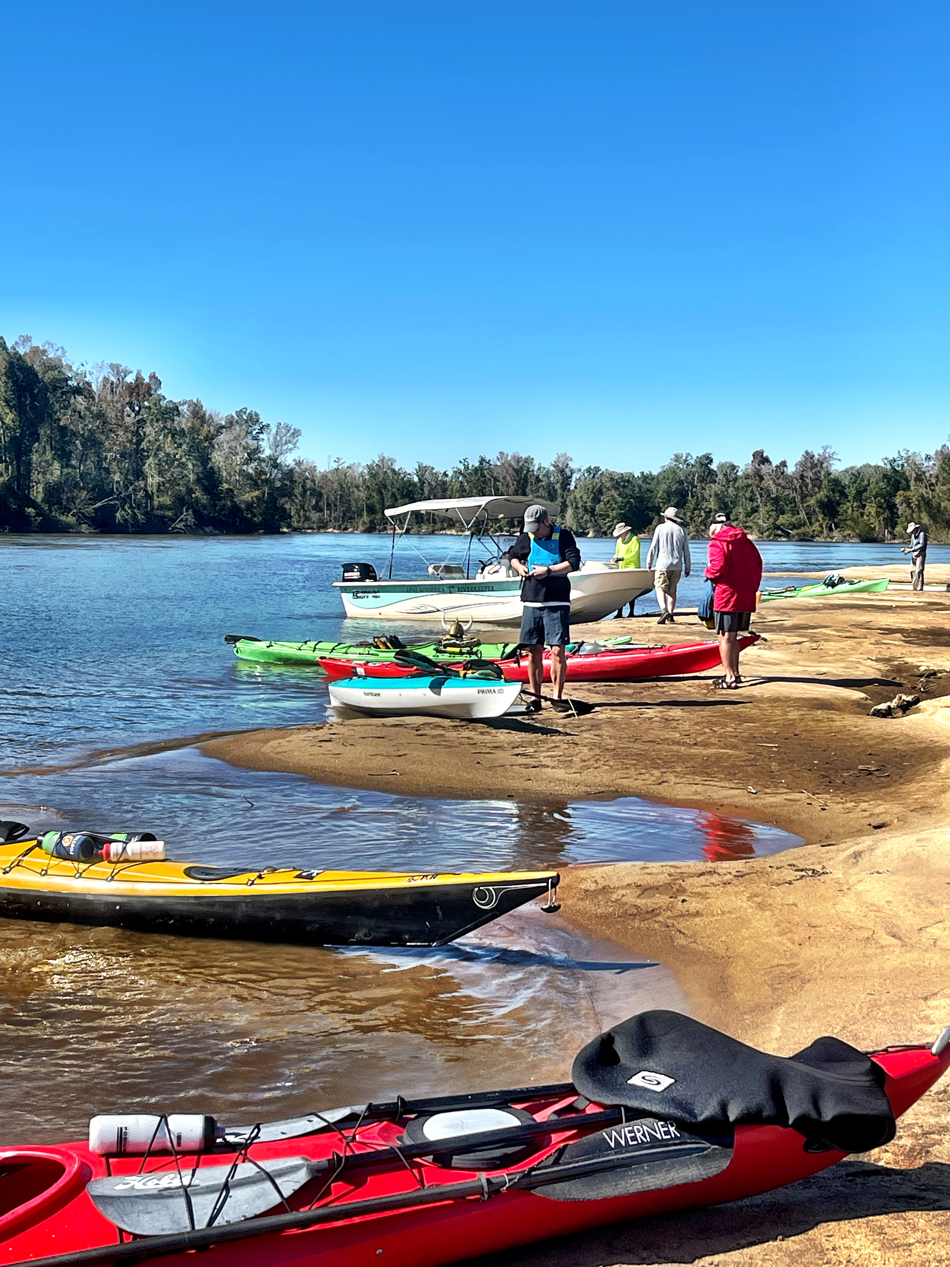
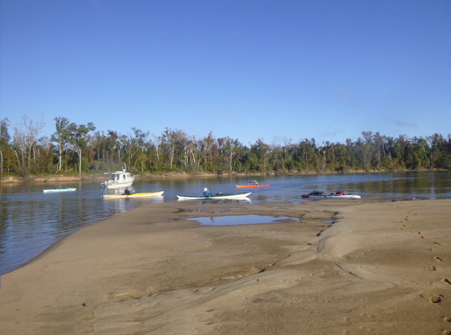
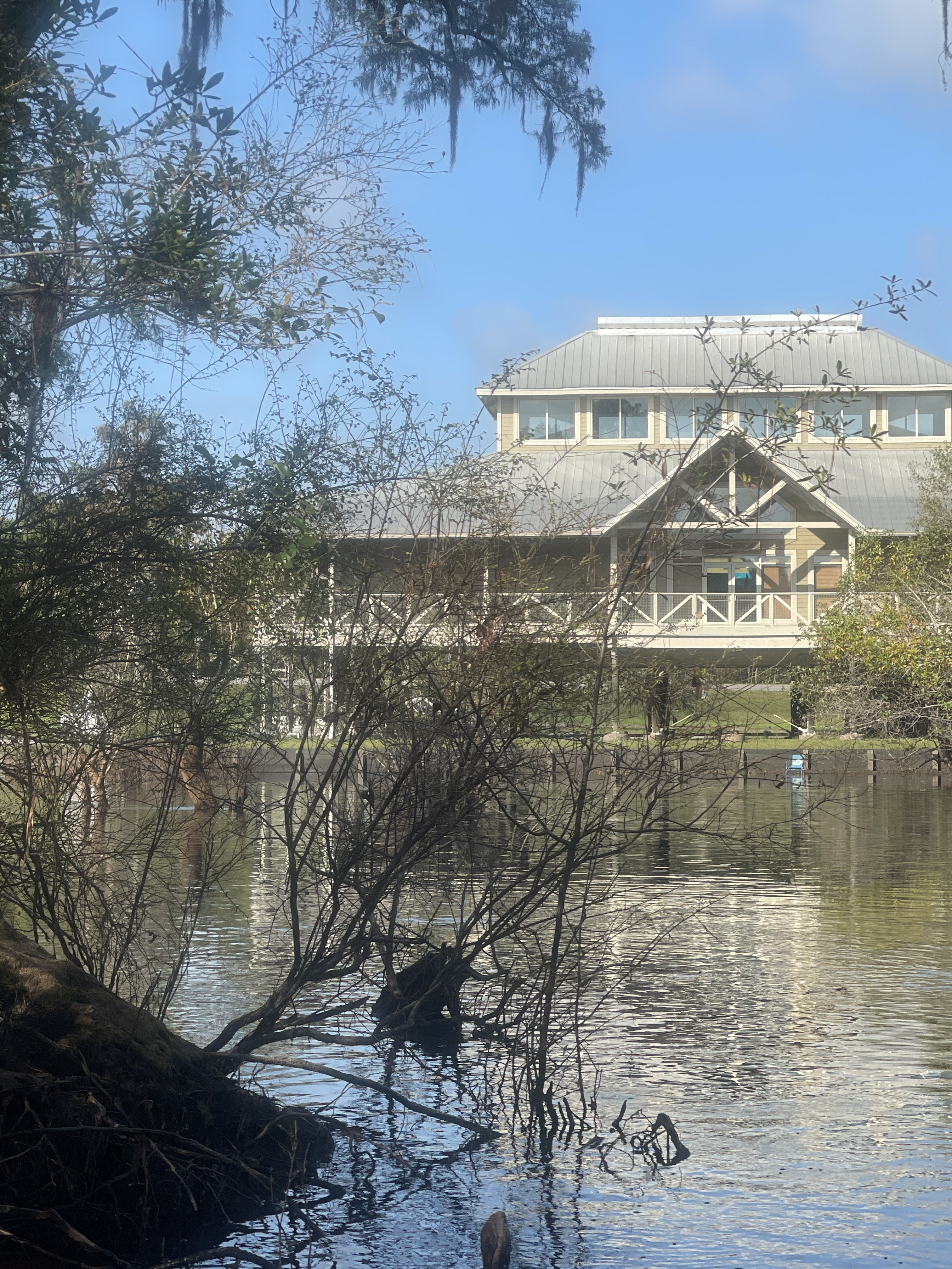
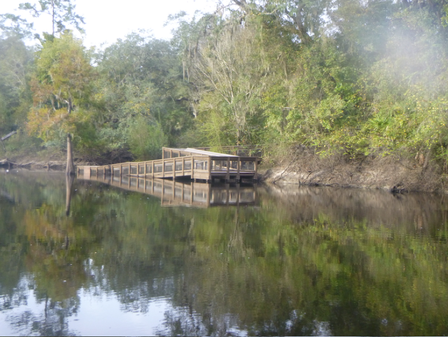
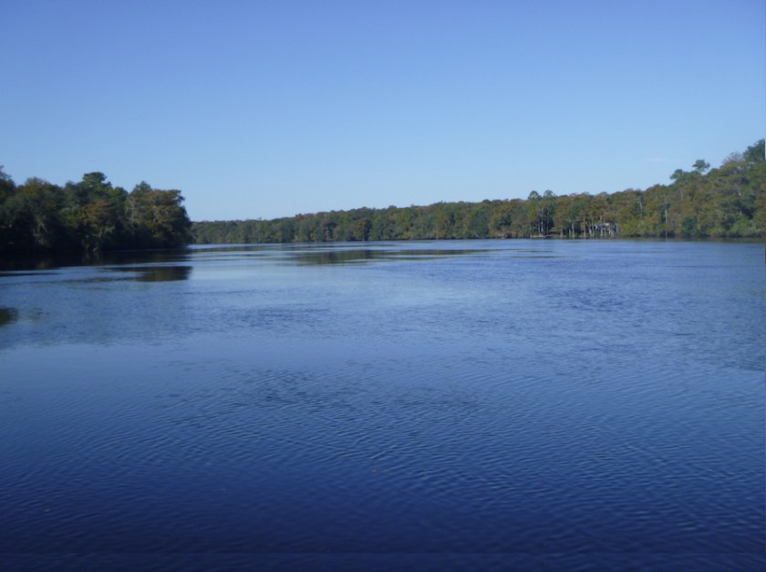
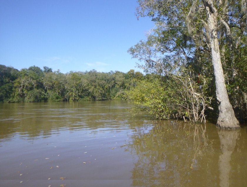
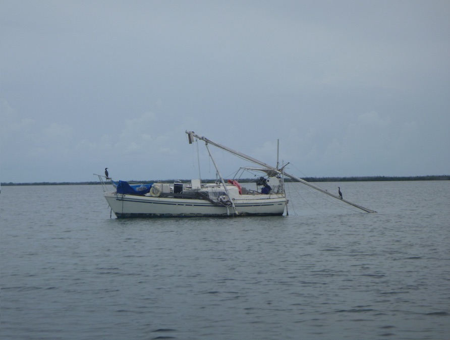
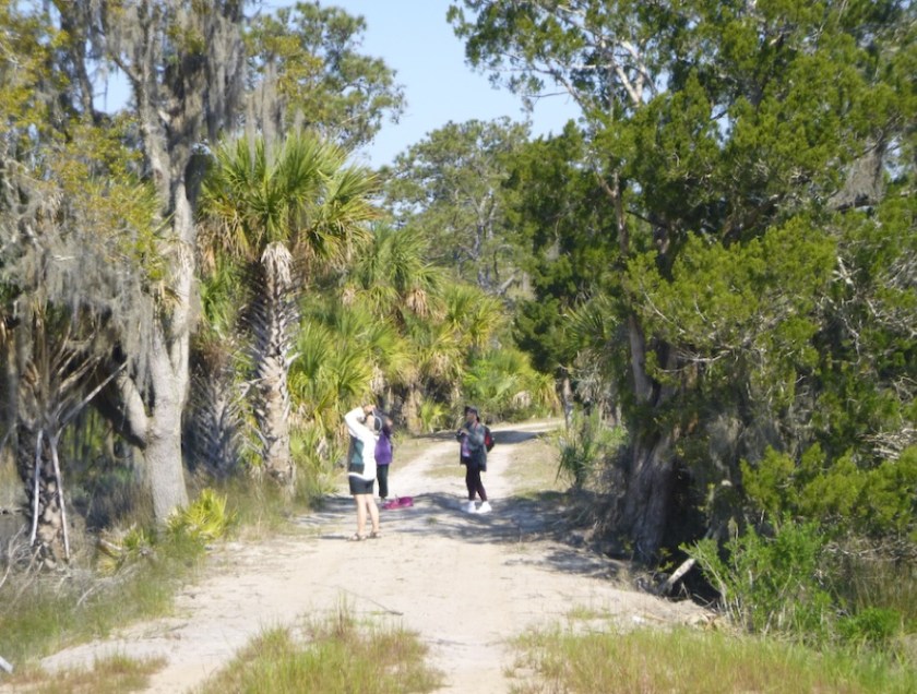
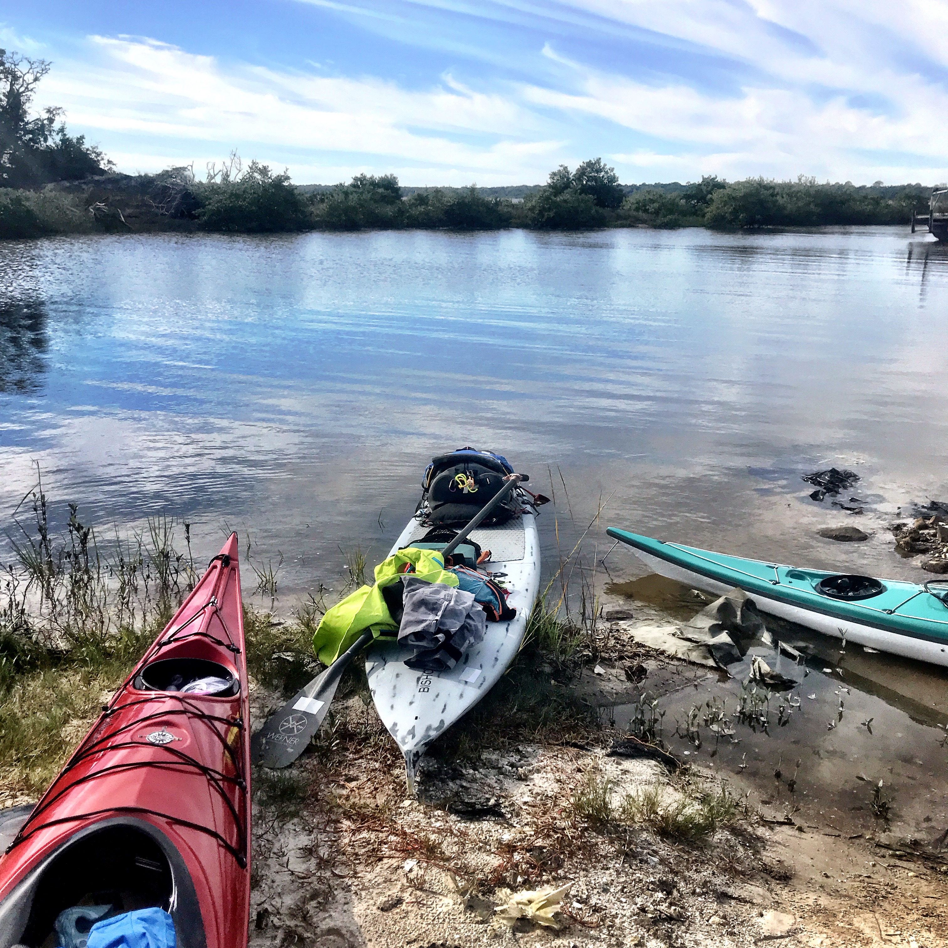
The tide carried us up Coon Key Pass towards Goodland and the Big Marco River. After the chaotic boat traffic in Goodland, the Marco River was surprisingly pleasant. We paddled up a ditch and under a bridge to reach Isle of Capri’s Paddle Park, a nice launch site and lunch stop. At this point, we had entered into the Rookery Bay Preserve, whose website has plenty of information about launches, routes, and camping. These waters are ideal for paddlers, plenty of birds and wildlife, calmer inland waters, and much less boat traffic.


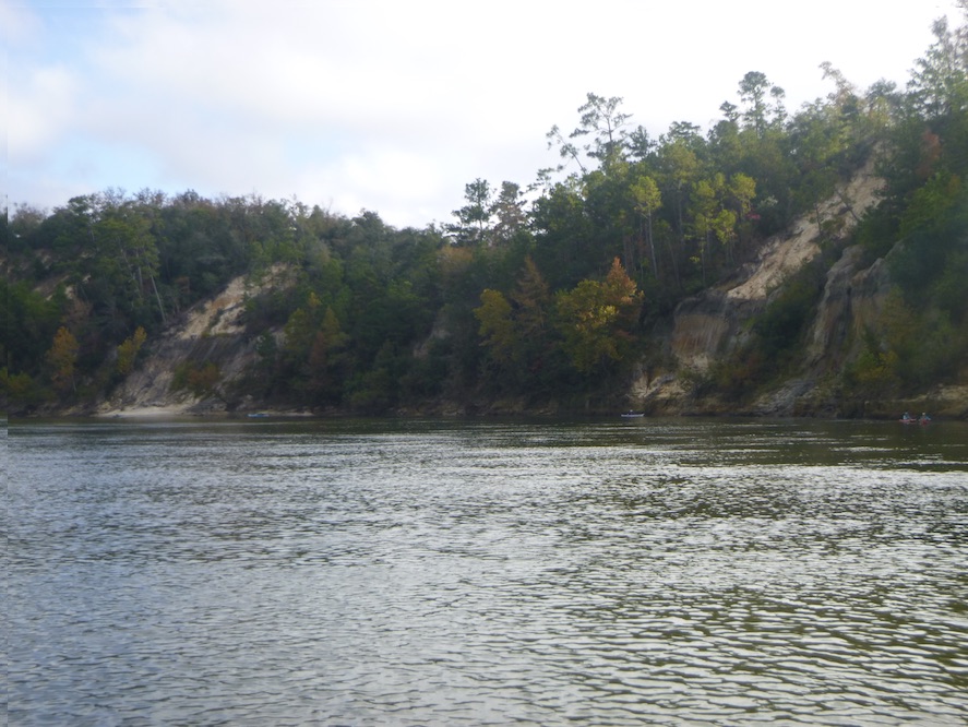
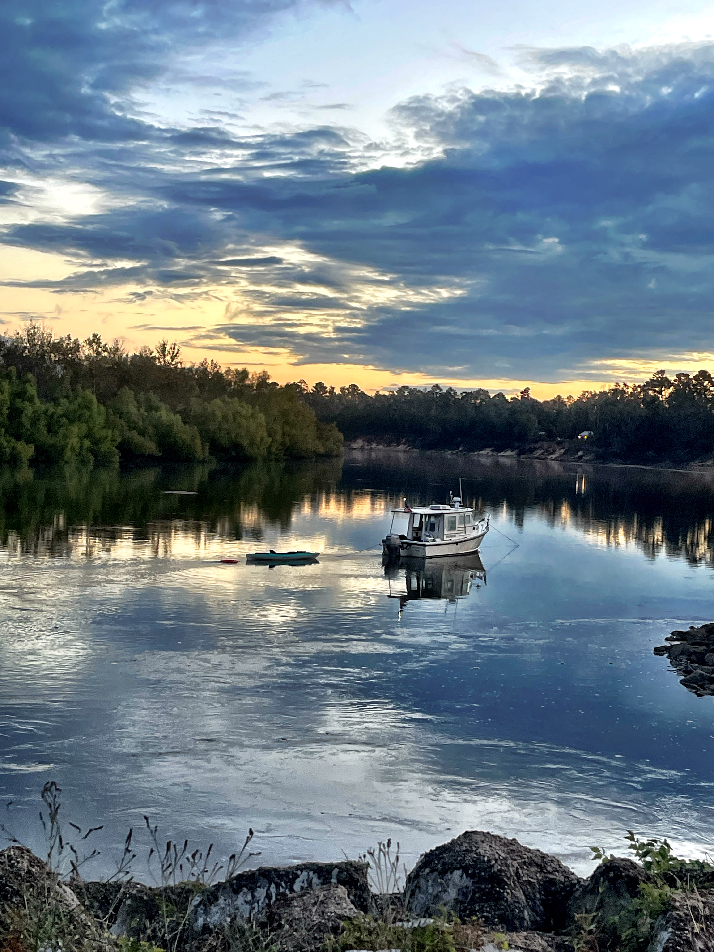
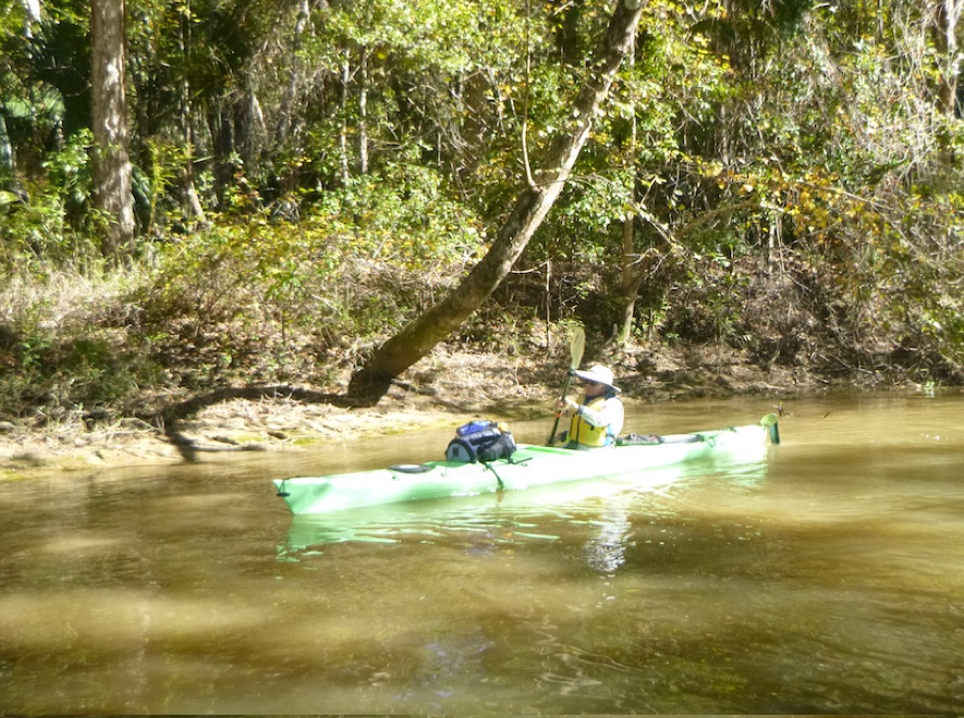
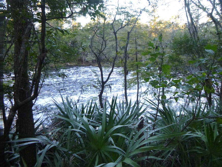
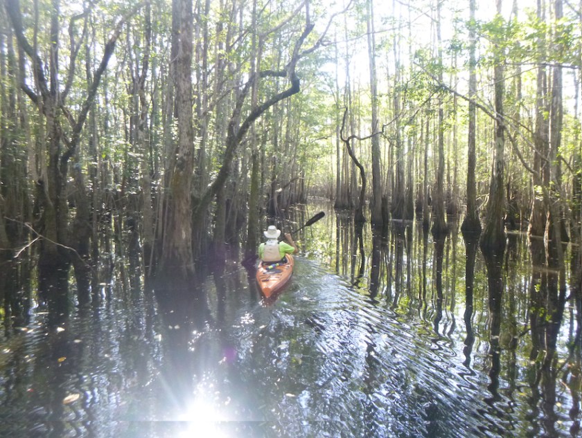
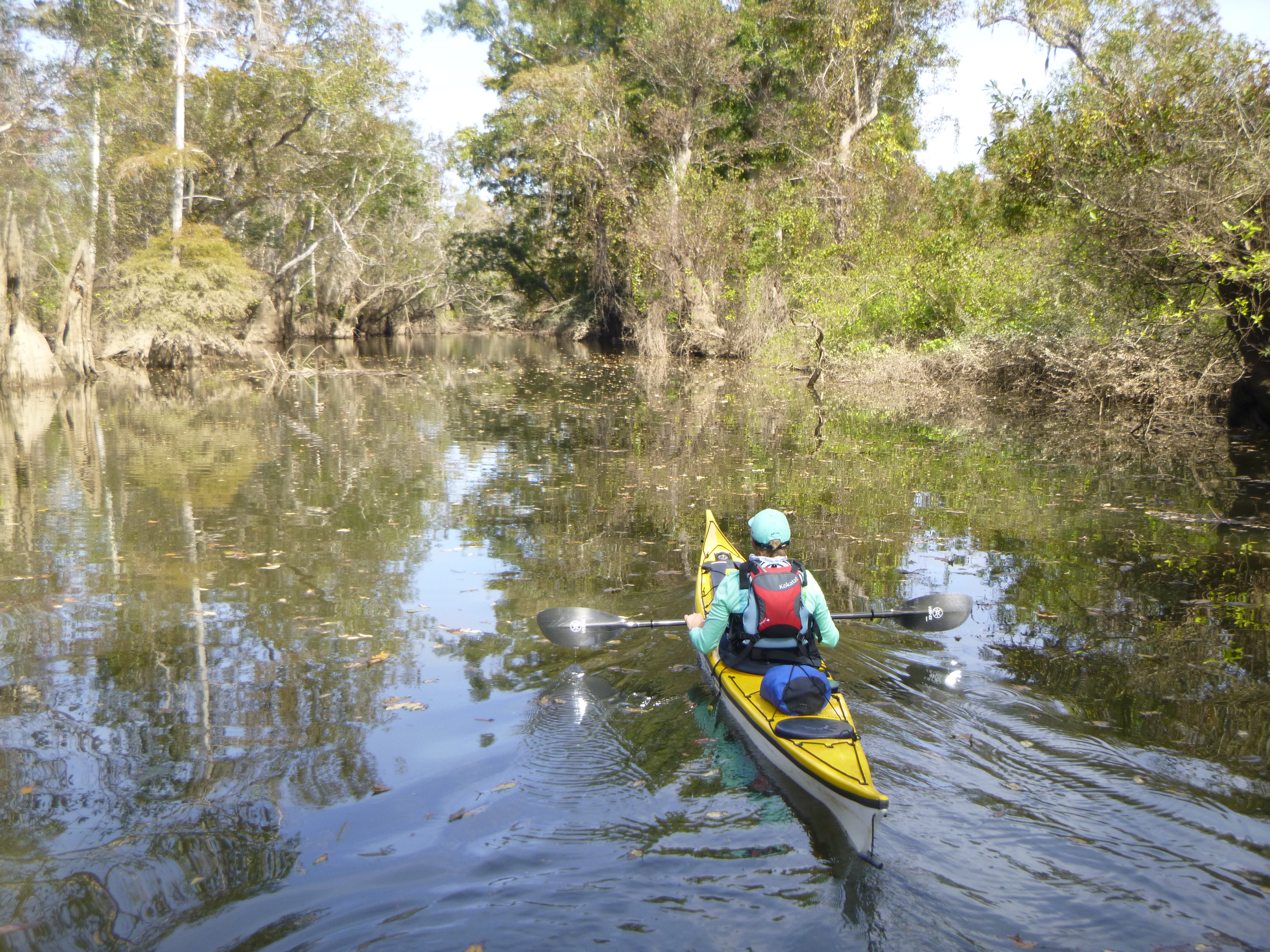
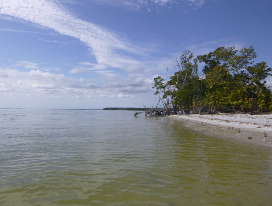
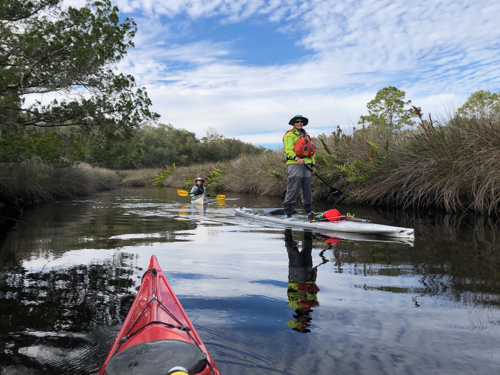
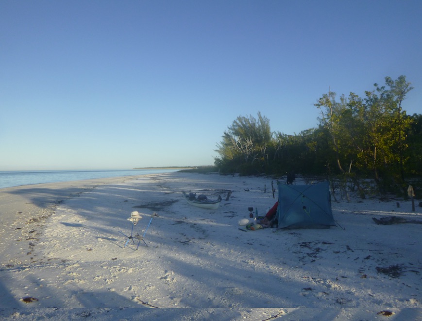
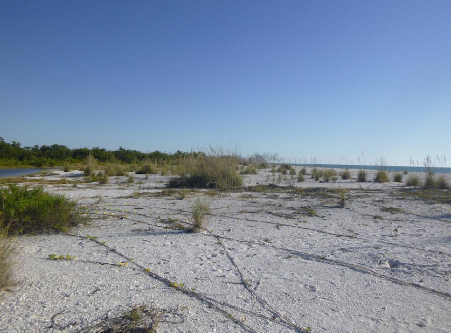
From the Paddle Park, we wove our way through a mangrove tunnel and, after a few false starts, emerged near Johnson Bay and the Isle of Capri. We paddled towards the gulf and our night’s campsite on Sea Oat Island. Unlike the Everglades, the water was clear. No wonder people love this area.

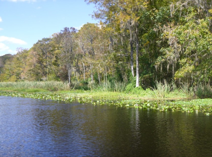
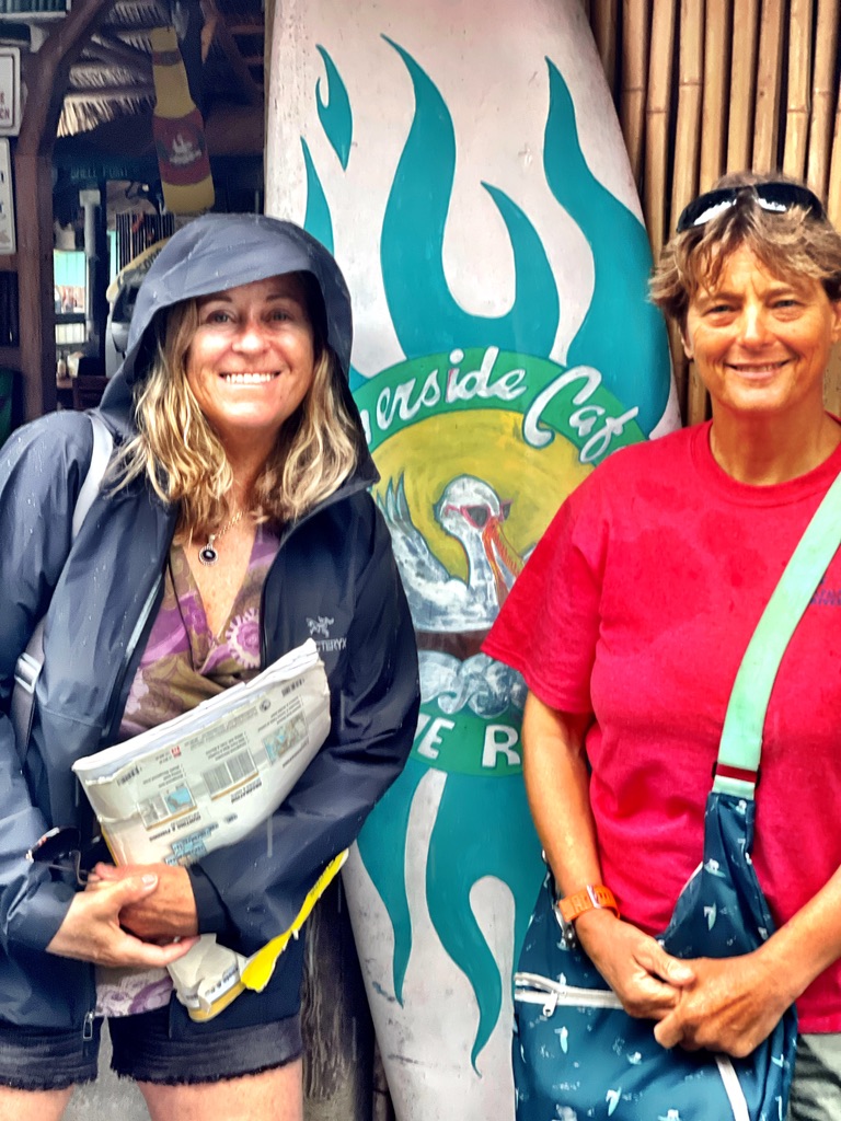
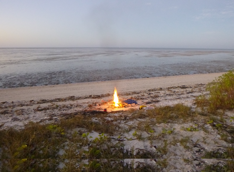
On day 3, we continued scouting different sites, but none more important than the Snook Inn, the halfway point on the Everglades Challenge. After an epic fail with one of my (usually good) homemade dinners which I tossed into the fire, I wanted real food. But, as work comes before play, we had some scouting to do. From Sea Oat, we paddled past Keewaydin Island and explored Rookery Bay until we reached the Shell Island launch.
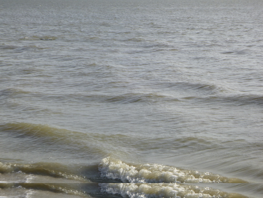
Stuffed with coconut shrimp and the Snook Inn’s famous grouper sandwich, the chop and traffic of Big Marco Pass awaited us. It was a relief to round the corner and paddle parallel to the beaches of Marco Island. We crossed Caxambas Pass and made camp on Dickman Island.
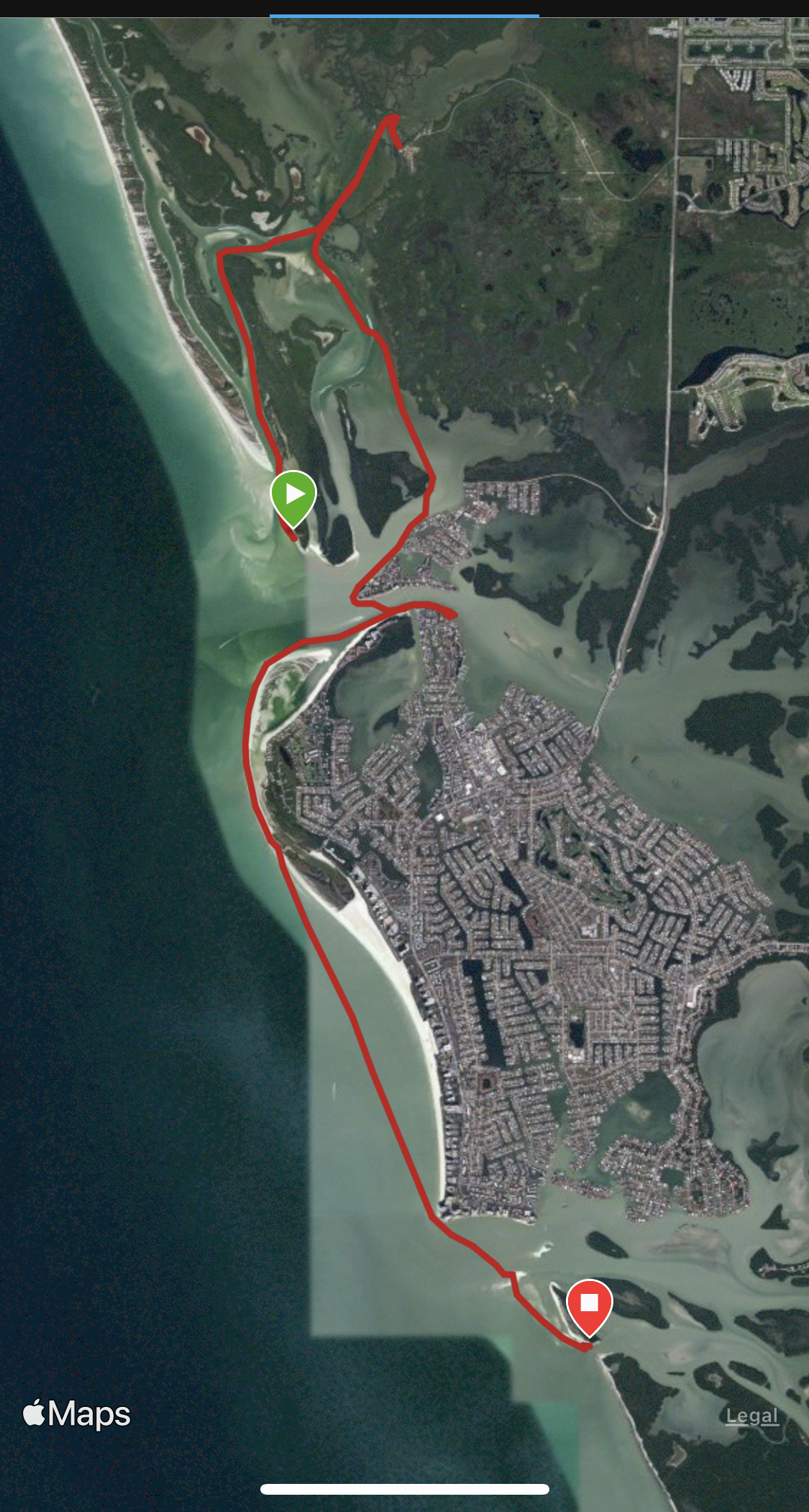


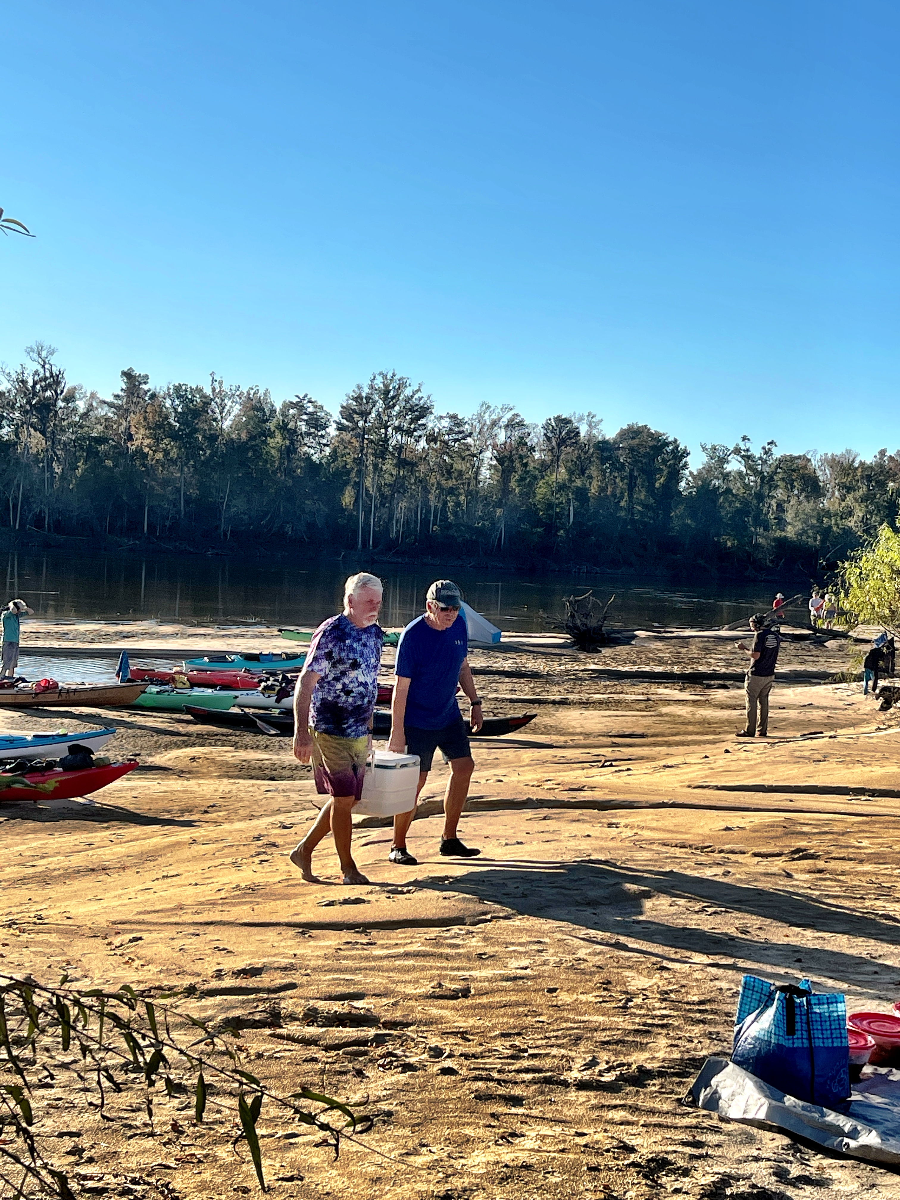
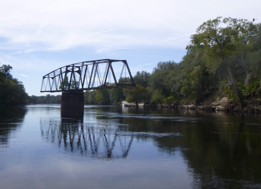
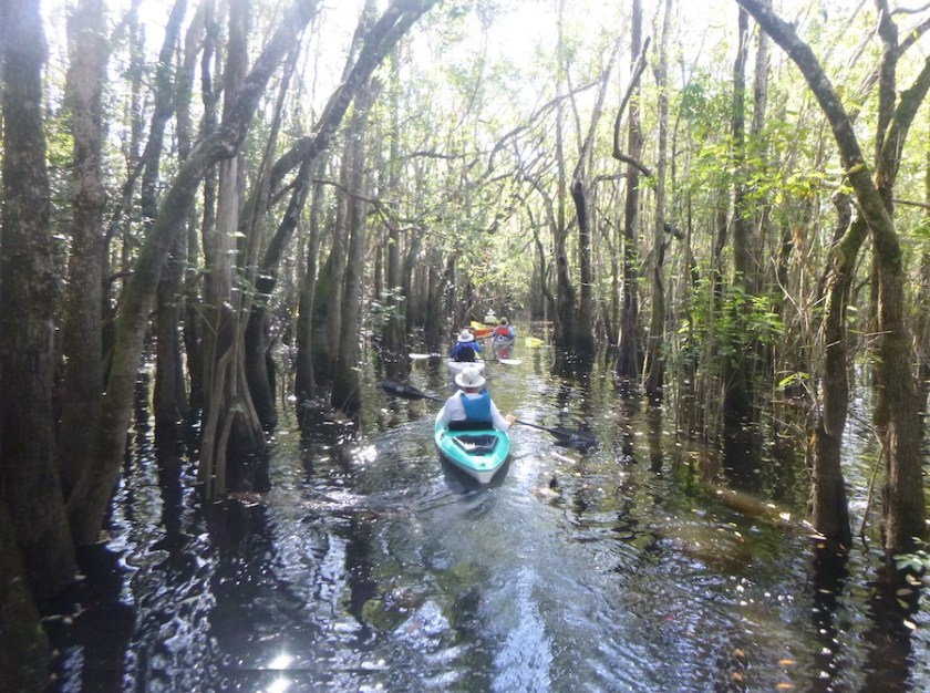
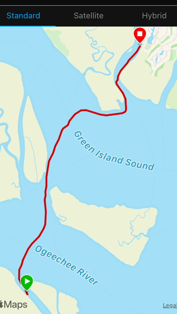
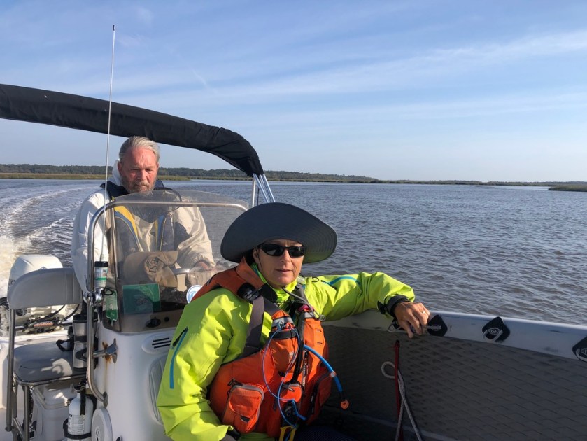
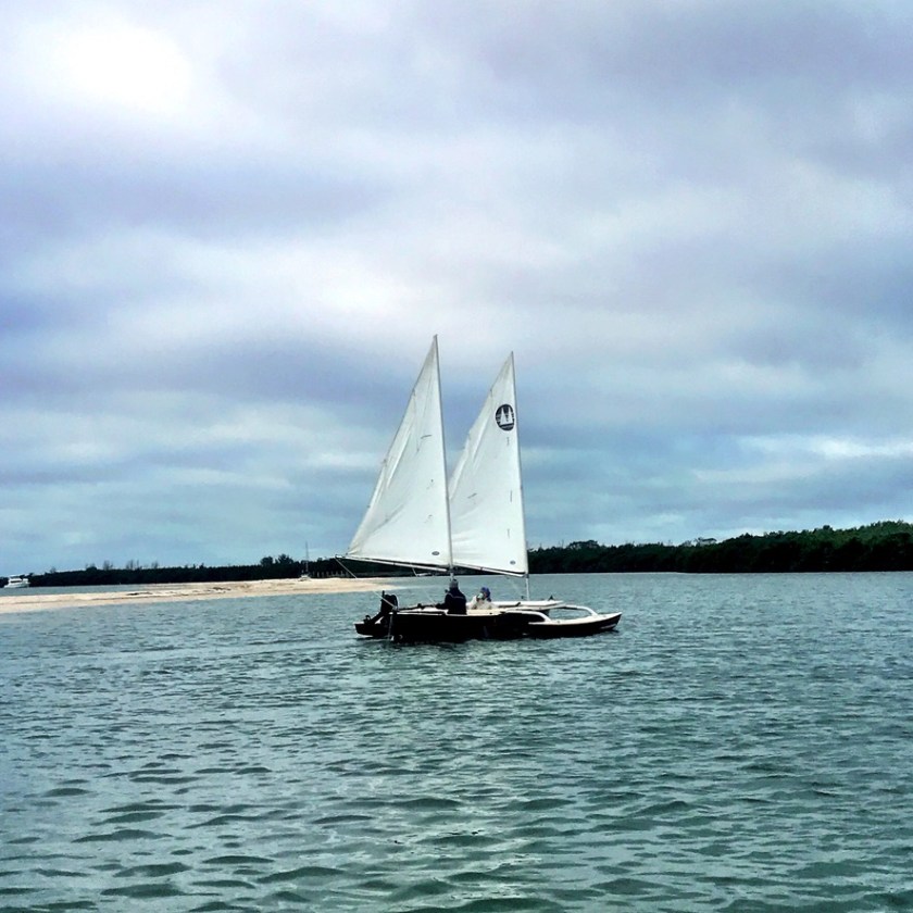
On to Cape Romano, a highlight only second to the Snook Inn, via Goodland. We meandered through the mangrove channels towards Goodland which both gave us more training miles and laid out less exposed routes for Paddle Florida. We stopped for lunch at Goodland, and I remembered one of Kevin’s and my first SUP and Sail trips. We’ve come so far.


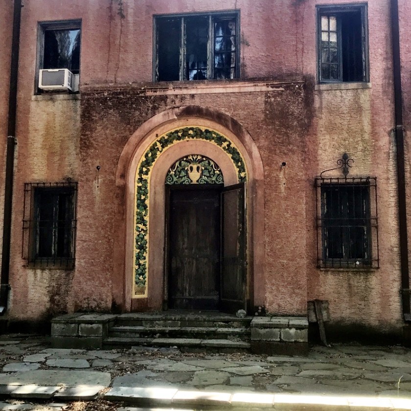
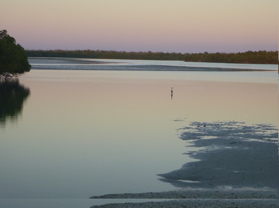
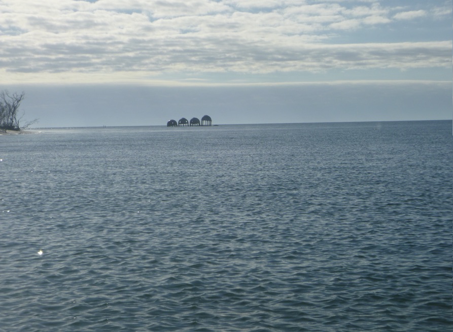
Fueled by a power lunch of diet coke and Cheeto Puffs, we paddled towards Cape Romano. We passed Helen Key and followed the Morgan River to Morgan Bay, where our charts dubiously noted a passage between bay and gulf. We didn’t really believe that the passage was where we said it was, but we did want to explore the bay. The tide was falling, and birds walked where we recently paddled. The beach between bay and gulf beckoned. The dome houses could wait until tomorrow.


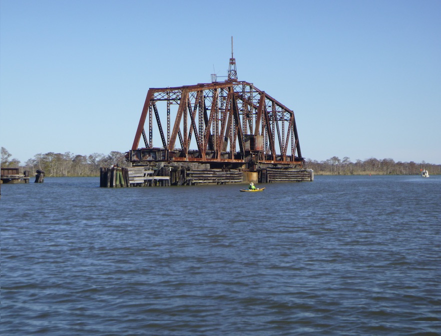
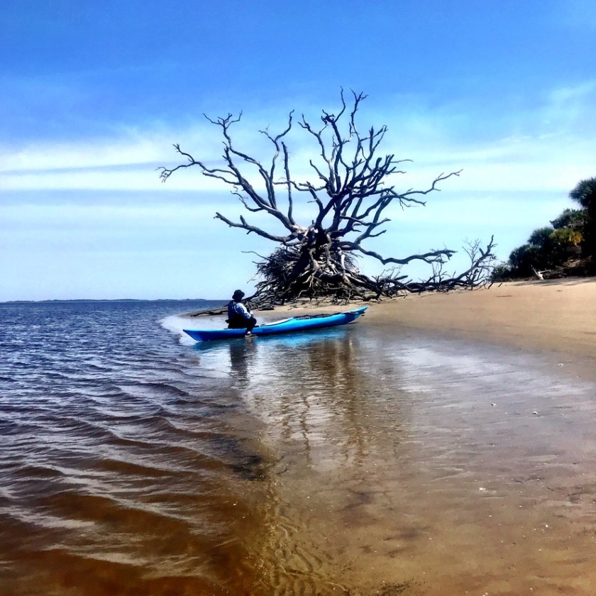
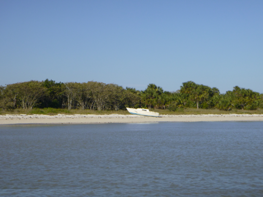
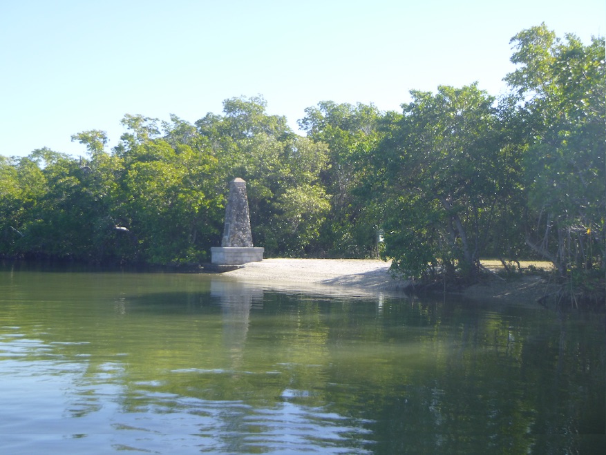
The next morning, we carried boat, board, and gear across the sand to the gulf, and we paddled to the dome houses just around the corner. I had first seen the dome houses of Cape Romano over 10 years ago while on a kayak camping trip with my husband Kevin. At the time, the buildings were on the beach, but erosion has washed away the sand, and now the domes are in the water.

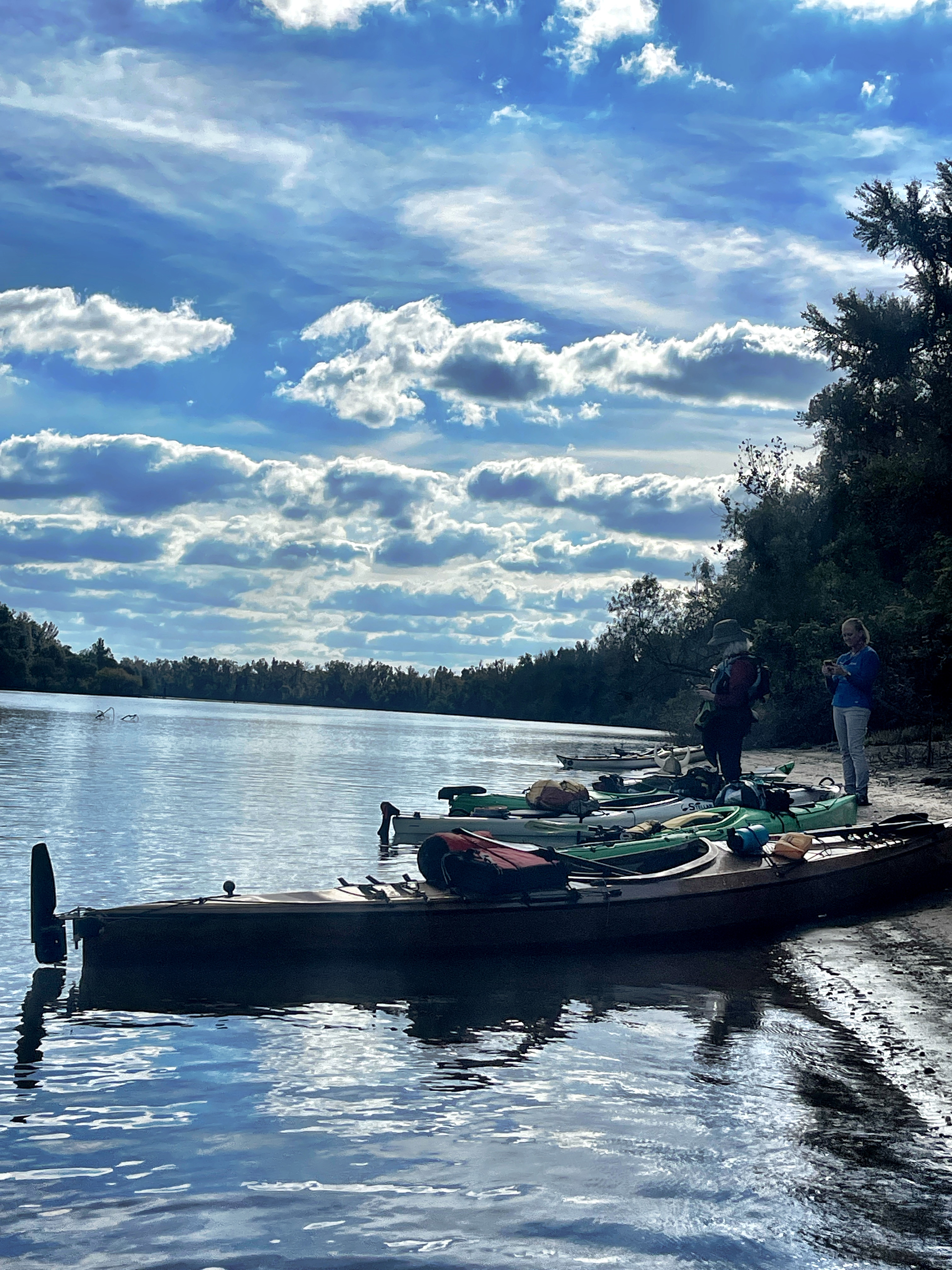
After Cape Romano, we paddled towards Coon Key and towards yet another Shell Key that the Paddler Florida folks would visit. The weather was changing, and a front was coming. Our timing was good. We set up camp on Panther Key, which set us up for our final paddle into Everglades City.


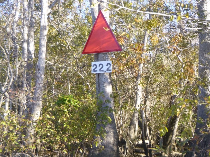
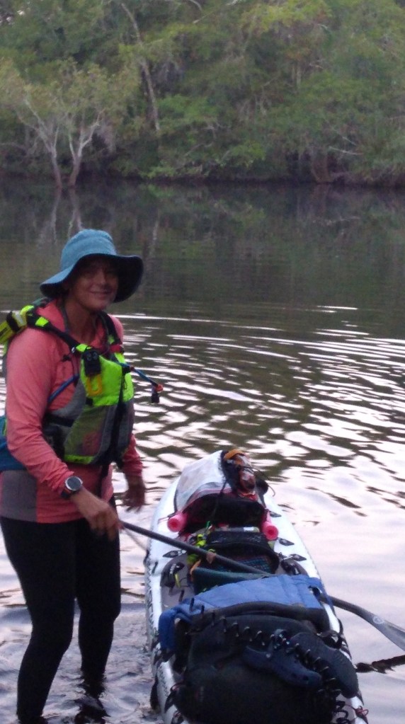
The tides had rarely been in our favor, and our paddle back to Everglades City was no exception. We needed to reach Everglades City in time for breakfast at Nely’s Corner in Everglades City. To do that, we needed to leave well before low tide at 7 am. Alarm at 4, launch at 5. 7.22 miles to go. One cup of coffee in camp, more at Nely’s Corner. As our eyes adjusted to the darkness, we paddled east, skirting the extensive shoals around Lulu Key, where we saw headlamps moving as campers began their morning routines. The sun rose over Indian Key as we began to fight the outgoing tide.

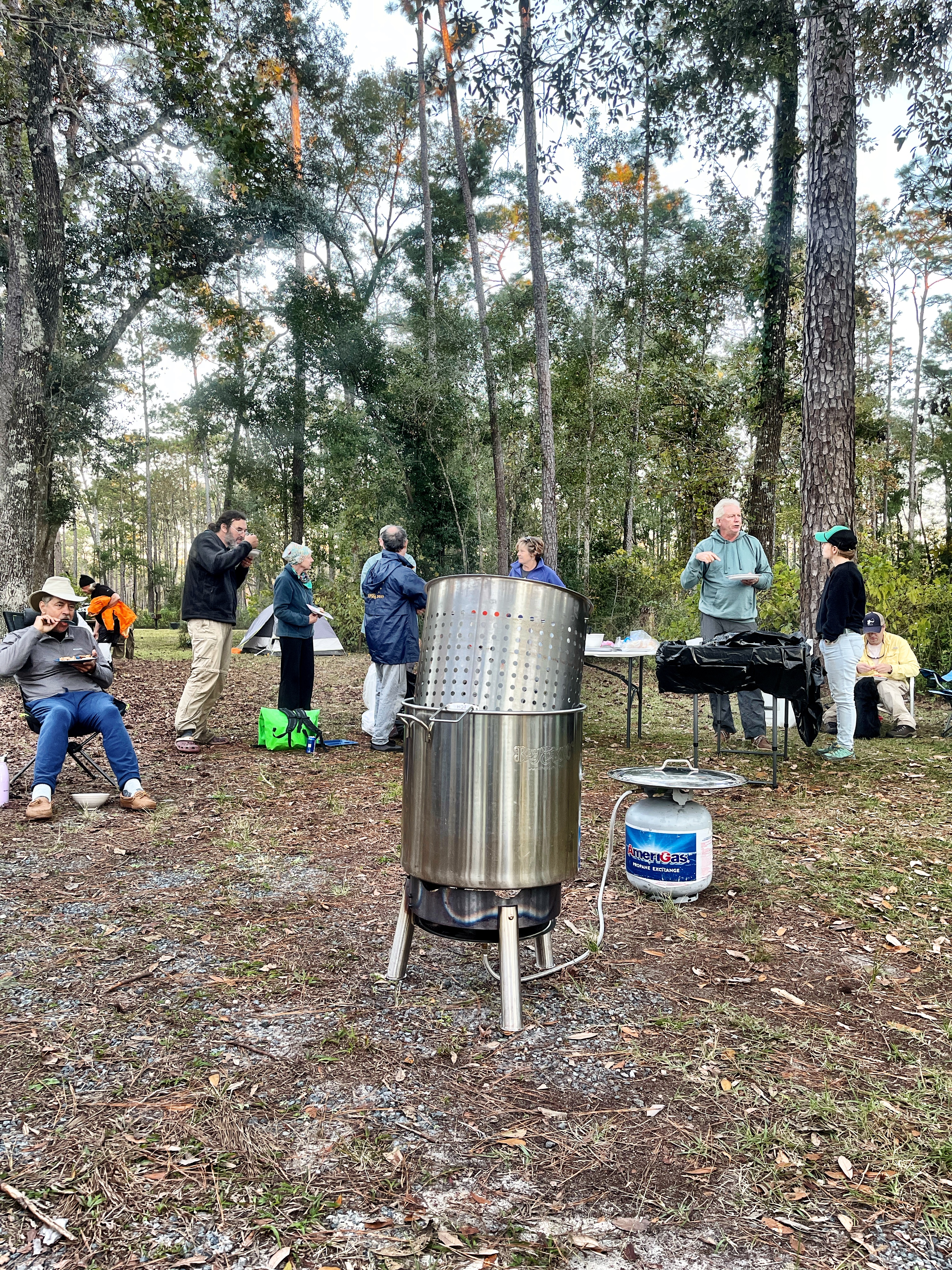
We hugged the shore and discovered side channels to avoid the tide. By 10 am, we had unloaded gear and rinsed off at the ranger station. By 11 am, we sat at Nely’s, sated with coffee, a breakfast sandwich, and a to go box of Key Lime pie for Kevin.

This trip was exploratory, long morning coffees and plenty of time to absorb the beauty. My next trip, probably the Everglades Challenge in March, won’t be so leisurely. I’ll be racing through, maybe at night, trying to make the checkpoints in time. Two radically different trip styles, but each bringing its own joys, challenges, and lessons. I’m grateful that I can experience this area in so many ways.