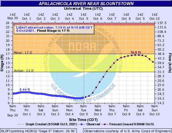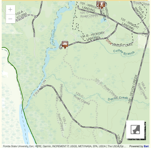
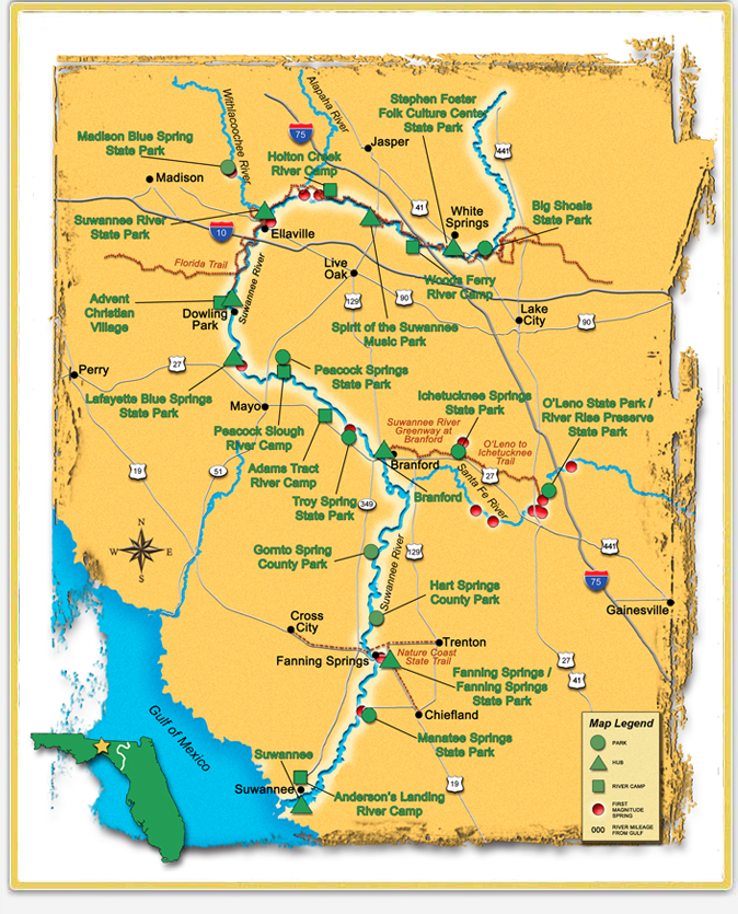
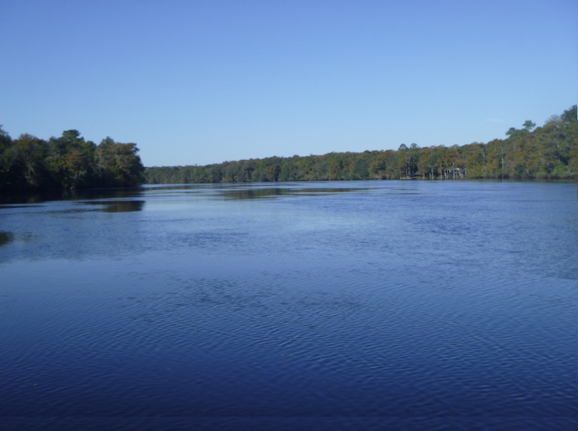
7:30 am, Griffis Fish Camp, Fargo, Georgia. At Rod Price’s signal, 11 racers launch into the trees of the Upper Suwannee River, paddling towards Bill’s Fish Camp in Suwannee, Florida, 230 miles downstream. Four SUPs and seven kayaks entered the 2021 Suwannee230. Some aimed to beat a previous record, others liked myself just wanted to finish within the 100 hour deadline. The river was at approximately 54 feet, meaning that we would have good flow.


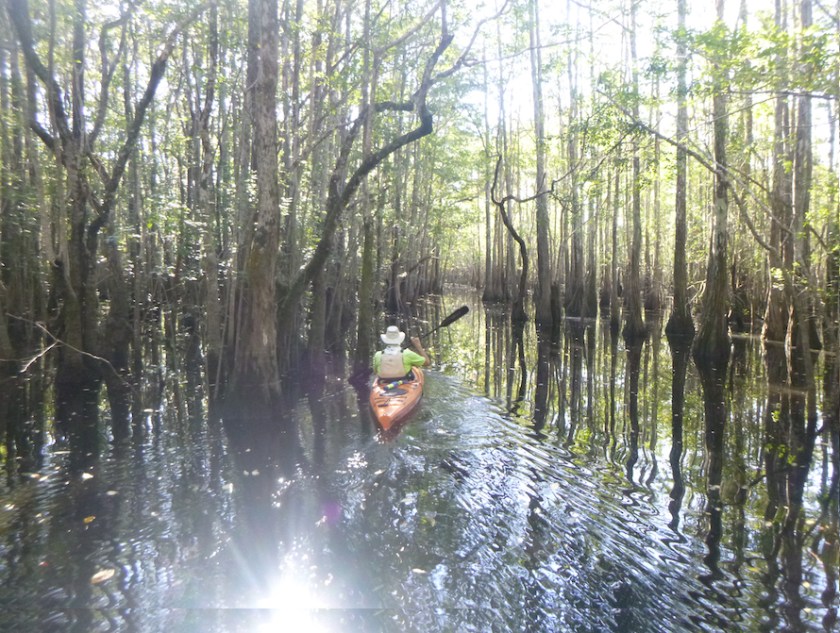
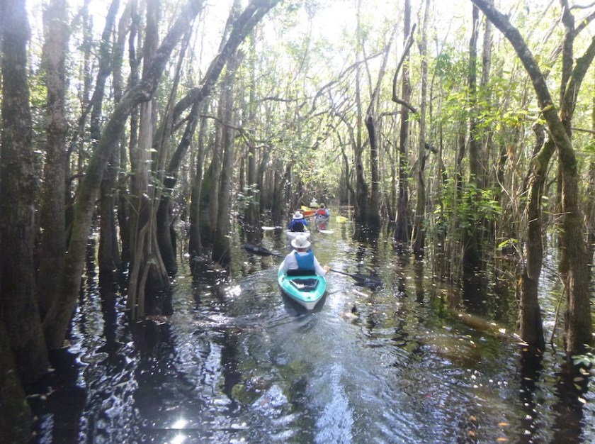
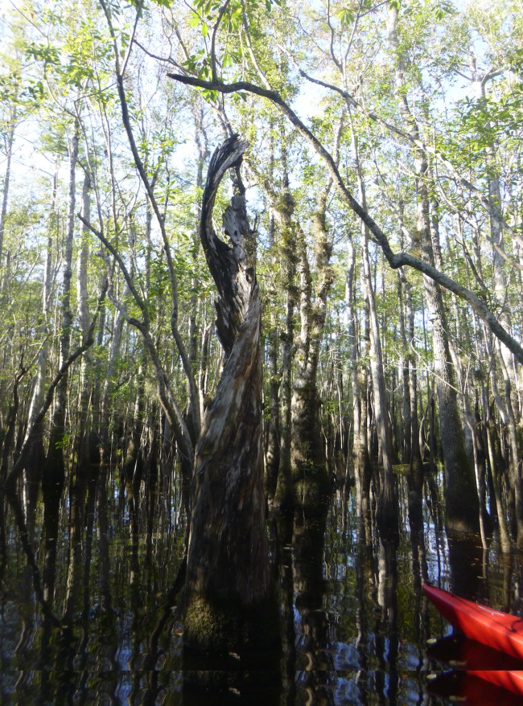
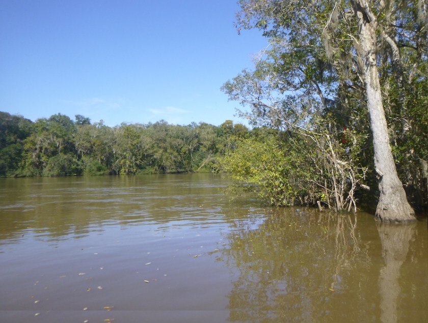
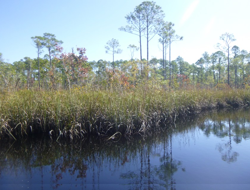
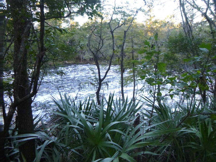
Griffis Fish Camp sits 14 miles upstream of Fargo and just downstream of the Okefenokee National Wildlife Refuge, where the Suwannee River drains from the Okefenokee Swamp. The current was barely discernable as we paddled through the maze of trees in the early morning light. Within the first ten minutes—when I still had company, my fin snagged on a root, and I fell in. I was surprised, knowing what lies below the surface. Someone, water triber Derek, I believe, commented, “Well, you got that out of the way.” A perfect response—I climbed back on the board and continued. At the start, I had others to follow as I picked my way around the trees. But not for long.
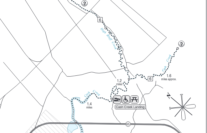
I paddled silently and alone towards Fargo where I passed one other paddleboarder with his support crew at the Suwannee River Visitors Center. It was the last time I saw another paddler. (One paddleboarder started an hour late, and I never saw her on the water.) At mile 36, I passed the Rte 6 bridge, our first checkpoint. I recalled a previous trip with friends where this distance was the mileage for a multiday trip. Perspective.
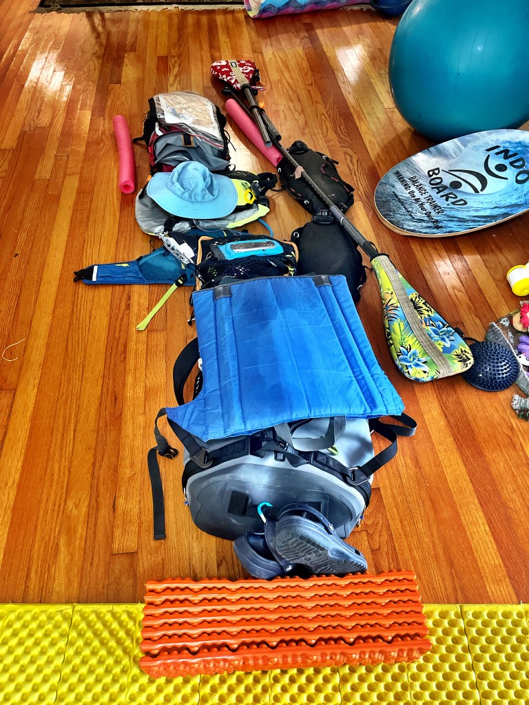
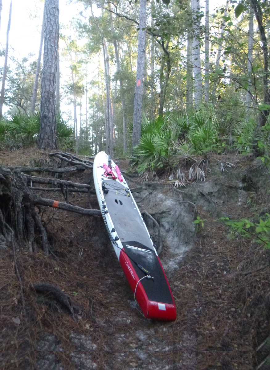
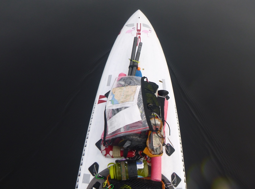
Day 1 goal: Big Shoals, approximately 60 miles in. Big Shoals Rapid, a rare Florida class lll, loomed large in my imagination. I had run it years before in a whitewater boat, but knew that its limestone shoals would destroy my paddleboard. I camped on a sandbar about a mile above Big Shoals State Park because I didn’t want to brave the portage trail at night. Early the next morning, I paddled to the portage trail on river left. I needed three trips to carry my gear and board but the portage was easier than I thought. Being self-supported meant I carried more weight, but it also gave me flexibility in camping. A good trade-off, in my view.


Completing this portage was a huge psychological boost. That and the rapid’s fast flow propelled me towards my second’s day’s goal: Dowling River Camp, Paddle Florida, and food. I had only completed about 56 miles the first day, and I wanted to reach the halfway point by the second night. I quickly passed Checkpoint 2, White Springs, 66 miles, and headed for Checkpoint 3, 104 miles, Suwannee River State Park.

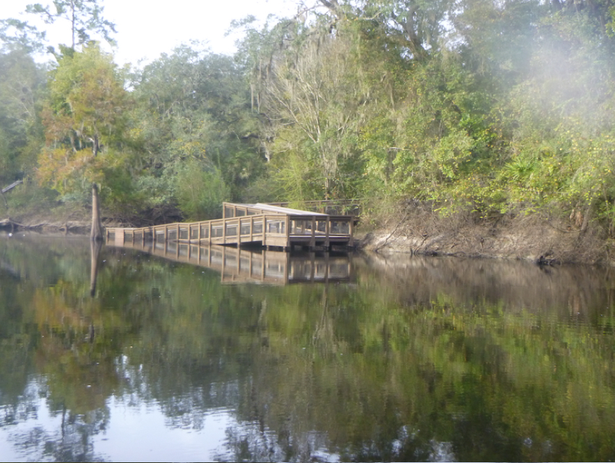
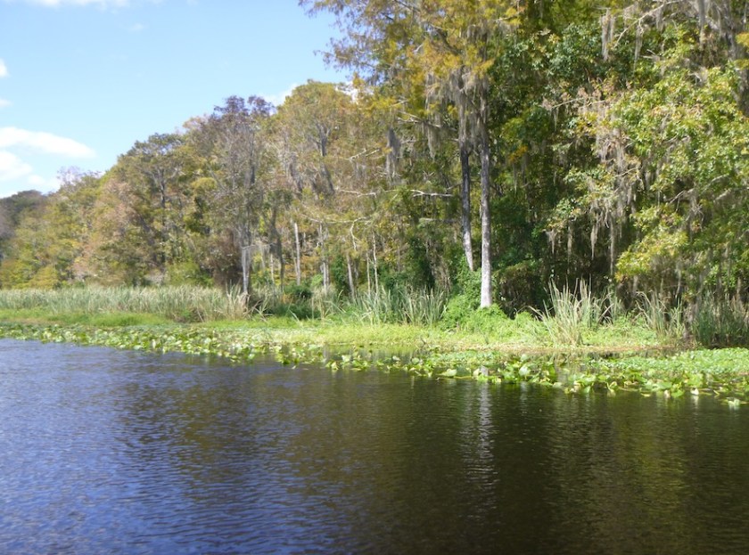
I paddled on, playing mind games with myself. I could eat after 5 miles; I wouldn’t look at my Garmin watch until I rounded the next bend. I needed to paddle at least 65 miles that day. From my Watertribe training, I learned to count in increments of 10 or 15 miles, so I could divide my day into large chunks. I passed the Spirit of the Suwannee , and I passed wide sandbars that invited camping. I spotted plenty of gators and even a bobcat perched on a branch overhanging the water. Just before dark, I passed Suwannee River State Park and got my lights ready for night paddling. Just 15 more miles until Dowling River Camp. Janice Hindson, Director of Paddle Florida, promised me a beach campsite and a plate of stew. That was all the motivation I needed.
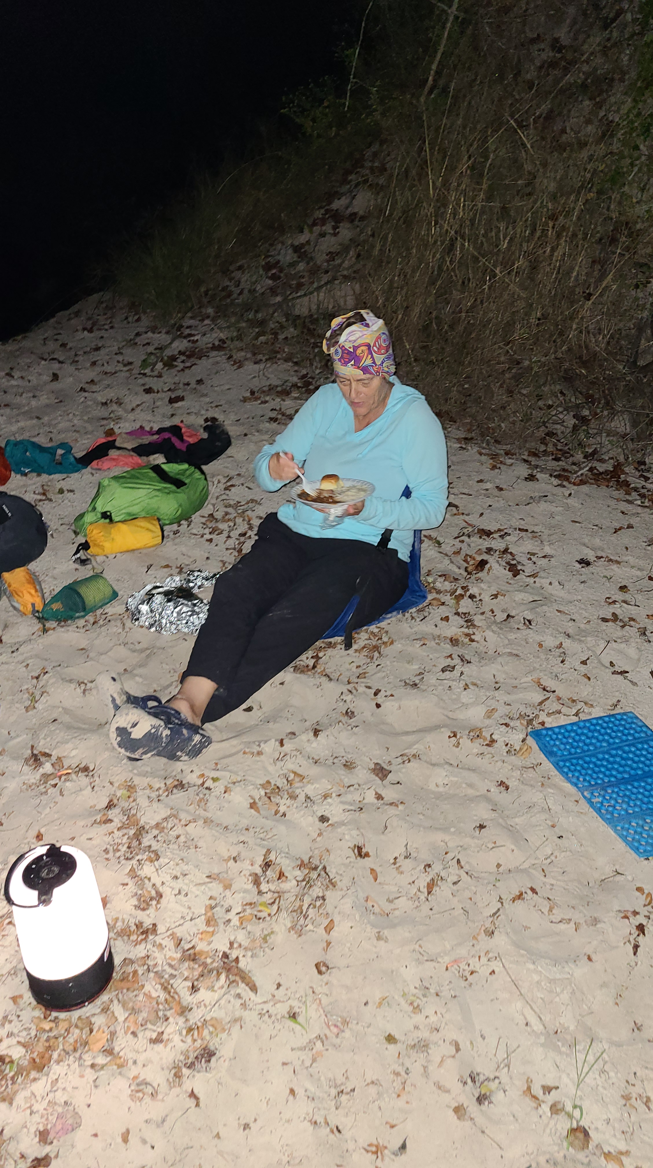
The almost full moon lit the way until the blazing lights of the Advent Christian Retirement Village blinded me after hours of relative darkness. Just around the corner, Janice’s lantern welcomed me to a sandy campsite and stew. She offered to warm the stew, but but no need for that. I was ready to eat and be off my feet.

After a good night’s sleep, coffee, and plenty of snacks, I headed back downstream for my last full day of paddling. I hoped to camp within 50 miles of the finish that night, somewhere between Branford and Fanning Springs. That meant I needed to paddle at least 60 miles that day.
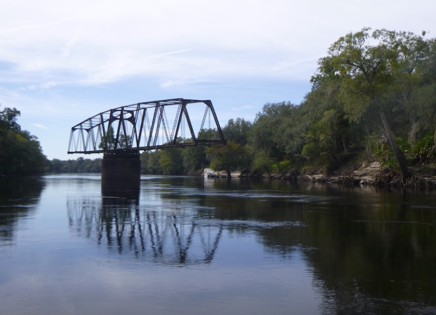
That day, I passed familiar names—Royal Springs, Troy State Park, Convict Springs, and eventually Branford, checkpoint 5, with 76 miles to go. The twisting upper reaches of the Suwannee had given way to wide long stretches as it neared the Gulf of Mexico. I still hadn’t seen any other paddlers, although I heard that one was within an hour of me. In the end, it was a race against myself—could I complete the course?
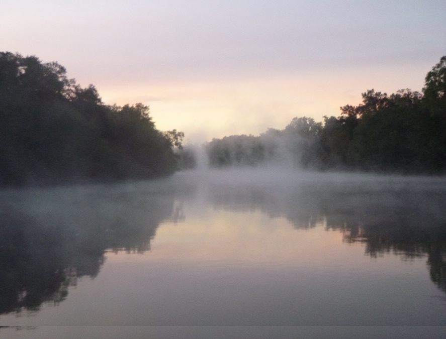
As darkness fell, I thought about campsites. Sandy bluffs had given way to a swampy coastal environment with few campsites other than landings and county parks. I passed Gornto Springs State Park and shortly thereafter found a landing ideal for a short “rest”. Shortly before 5 am, as I was making my coffee, a white SUV pulled in. The police? Was I being rousted? I doused by stove and light and began packing my bivy and gear. Fortunately, it was not the police, just some guy idling the engine at the boat ramp, a familiar sight. He left, and so did I.

Maybe not surprisingly, my shortest day felt like the longest. In the darkness, I chased down the one piece of gear that was not tied down, and my feet began to ache.
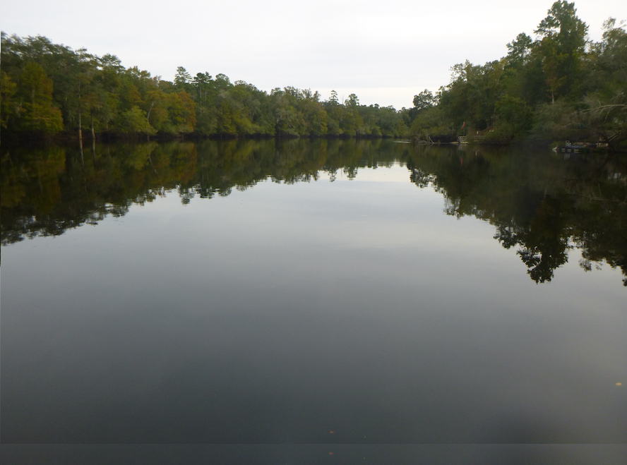
The river became even wider and more coastal as I passed Fanning Springs, Checkpoint 6, mile 197, and Manatee Springs, just 25 miles from the gulf.

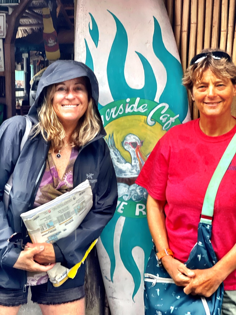
At 4:20 I reached the finish line, at 80 hours, 50 minutes, a winning time in the Women’s SUP division and well under the 100-hour deadline! As I paddled into the canal towards Bill’s Fish Camp, two men rounded the corner in a canoe. I must have been tired—I didn’t recognize my husband.

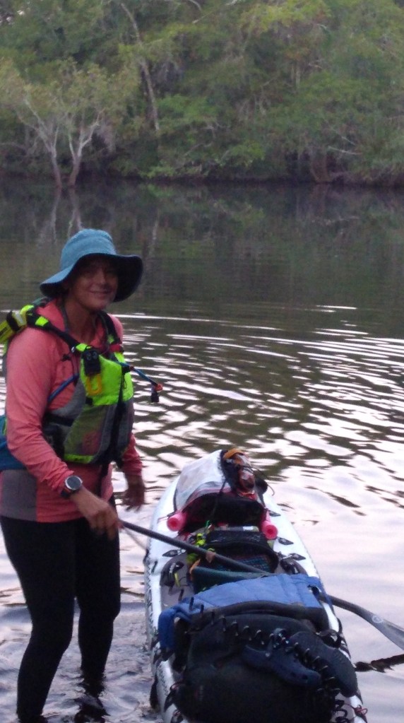
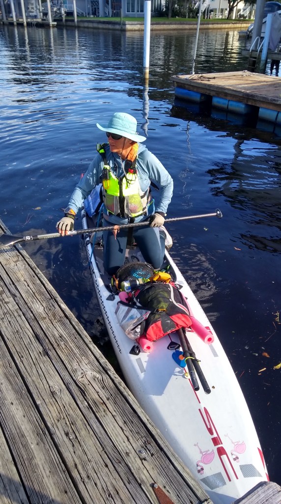
Photo credit: Kevin Veach

I enjoyed the solitude of the Suwannee230. It rarely felt like a race because I was alone. I knew that Scott and the kayakers were way ahead, and I had no idea about the other two paddleboarders. I appreciated being immersed in the river’s ecosystem as it journeyed from swamp to sea. And what a way to kick off my training for the The Everglades Challenge in March: Flamingo paddles on!