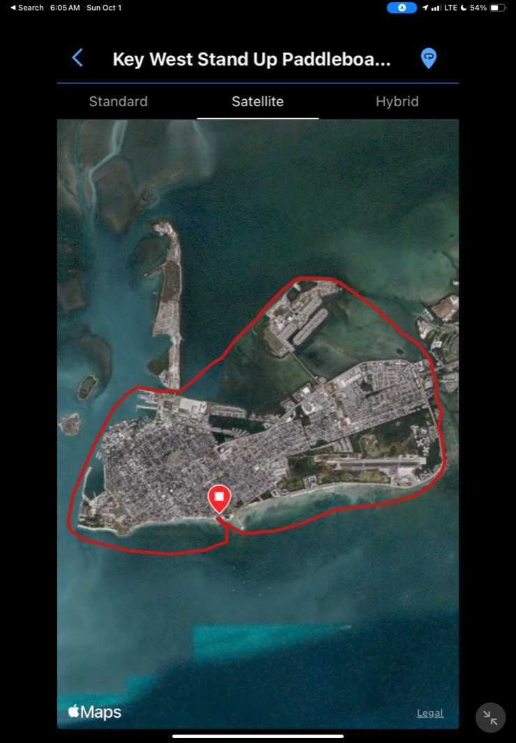
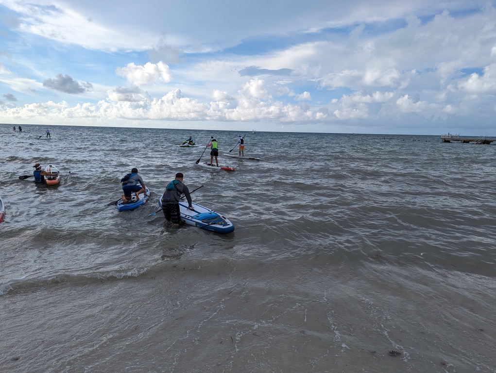
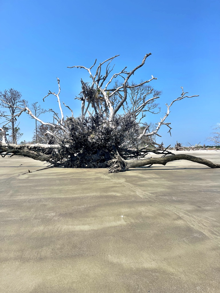
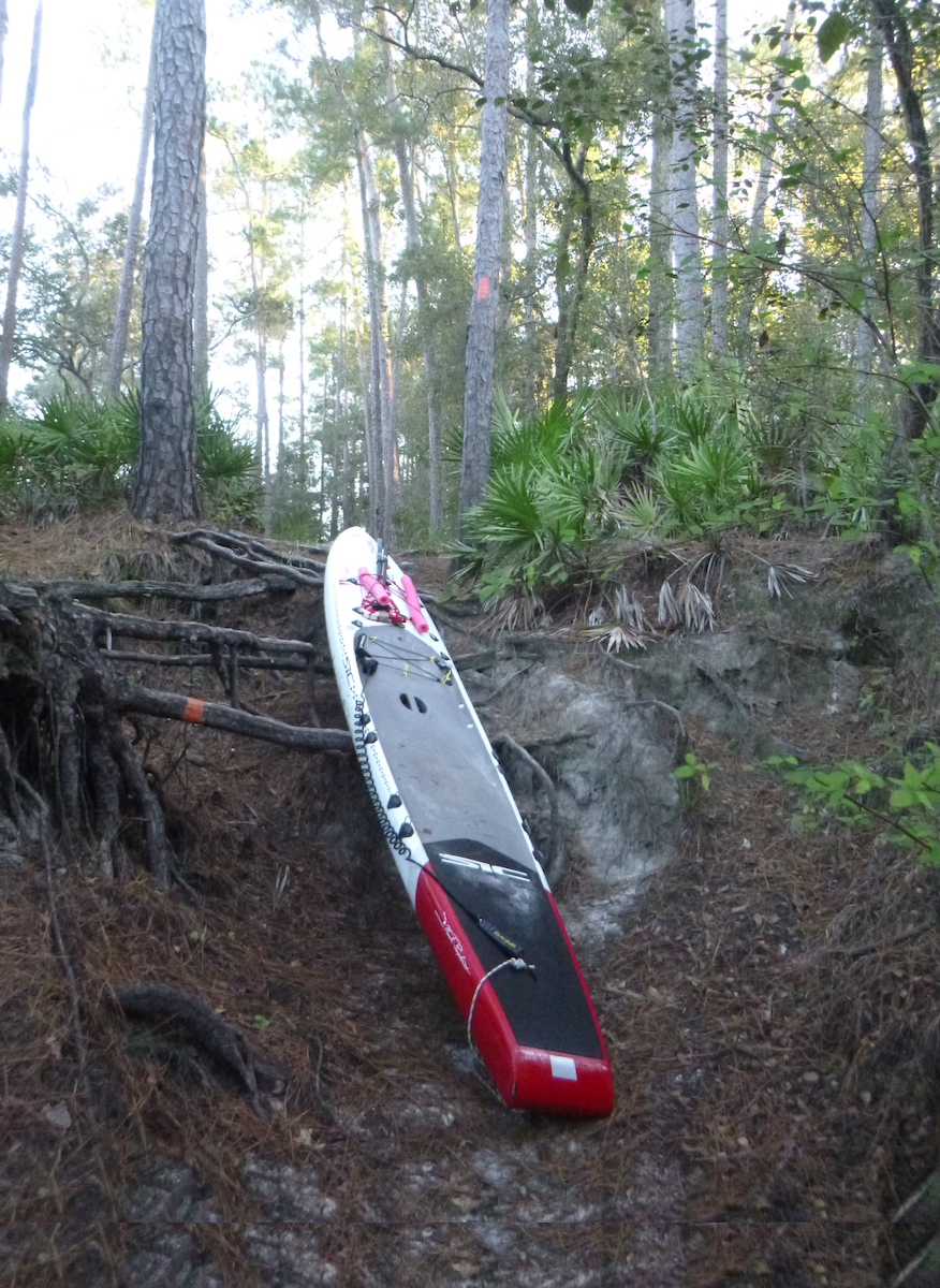
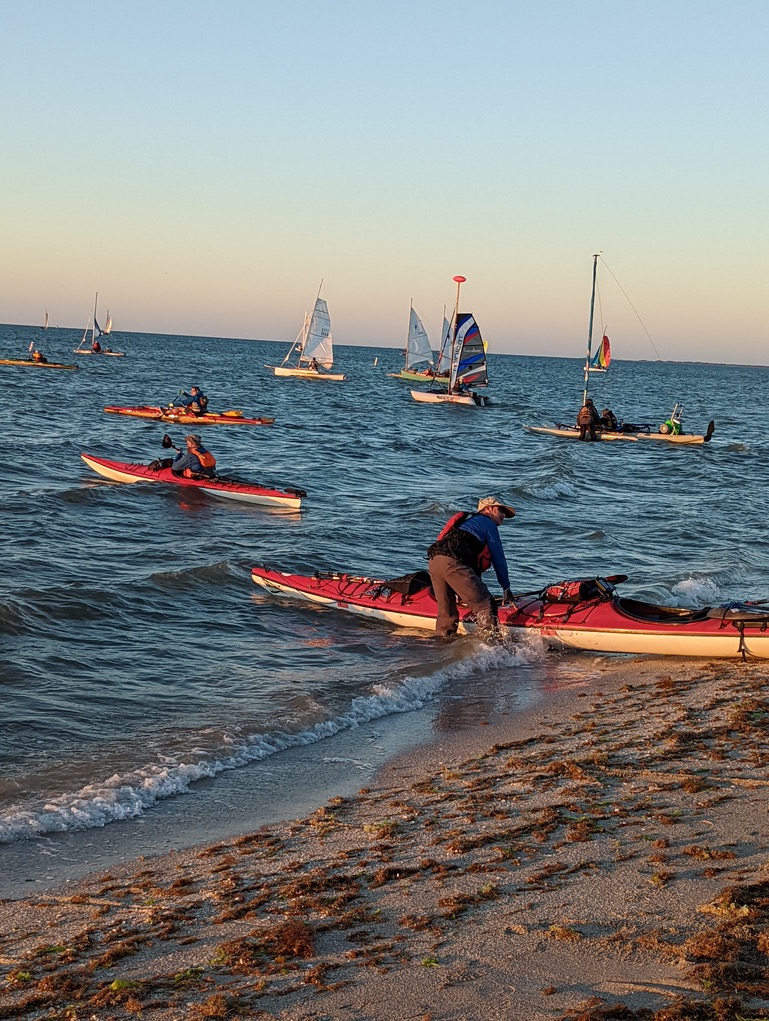
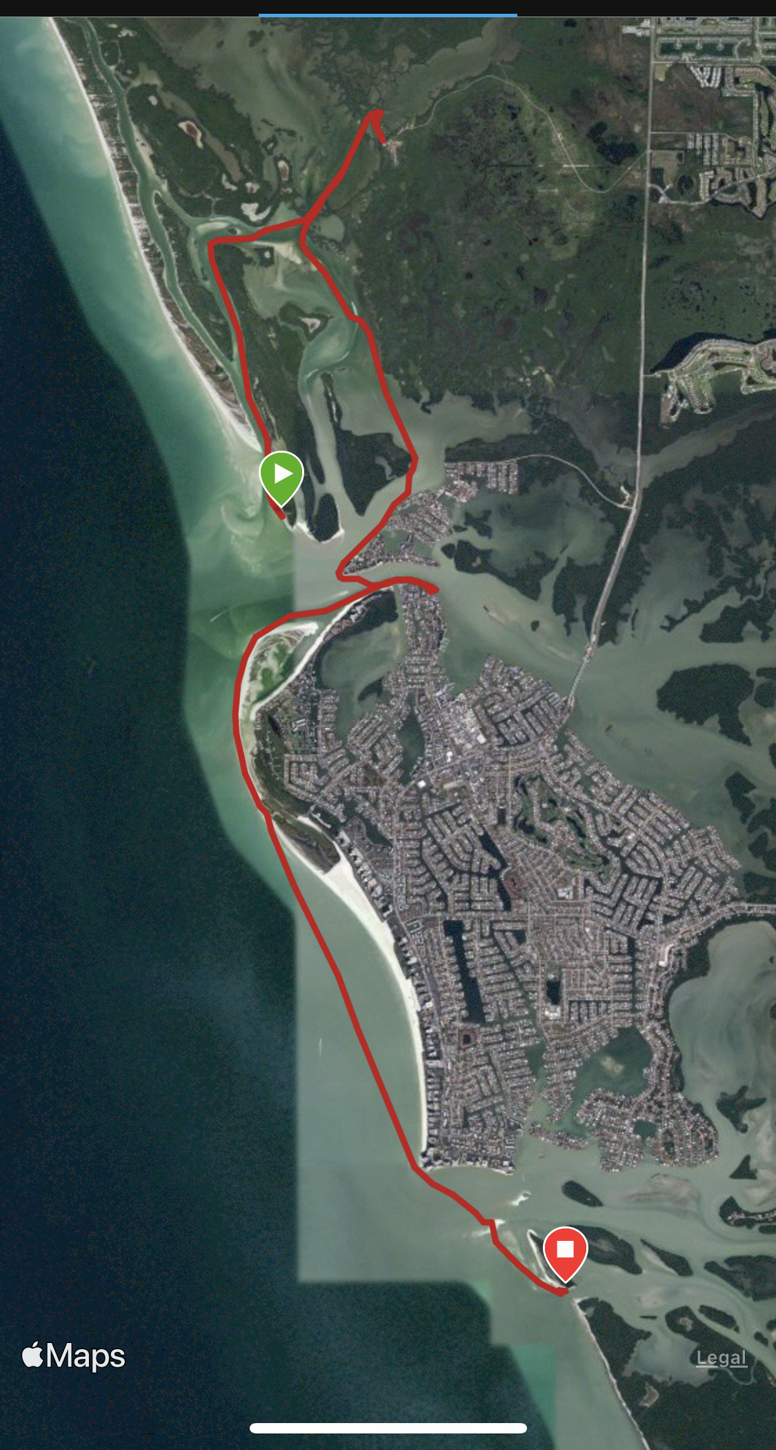
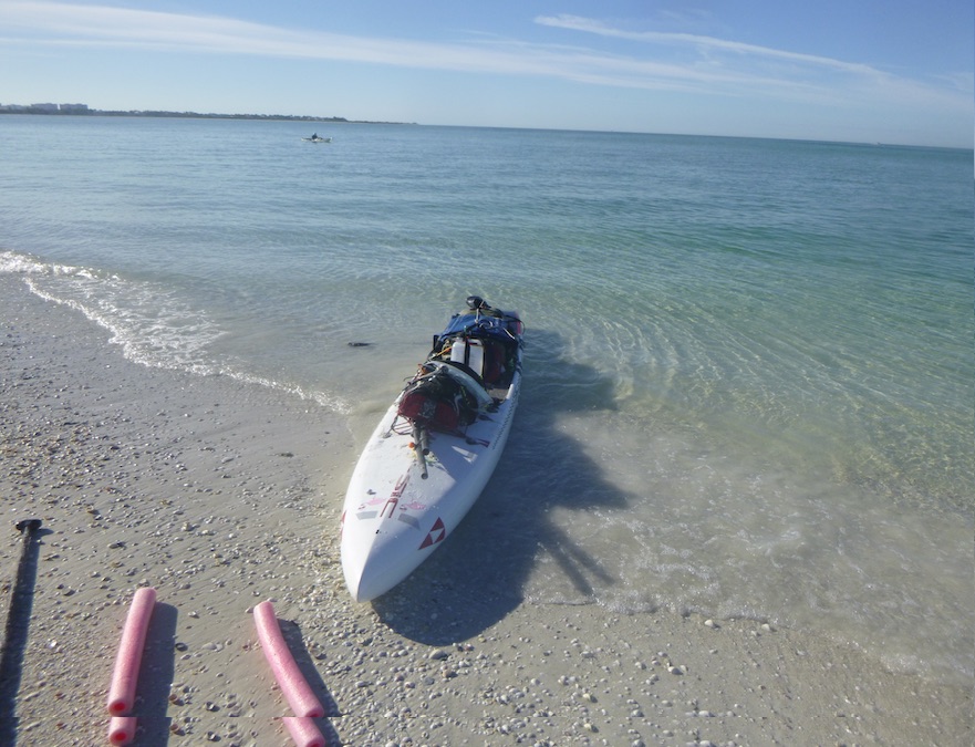
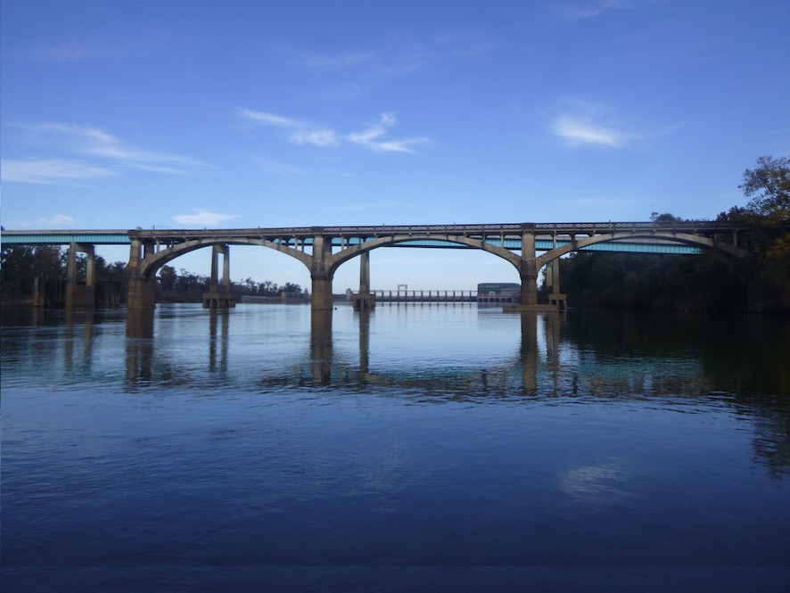
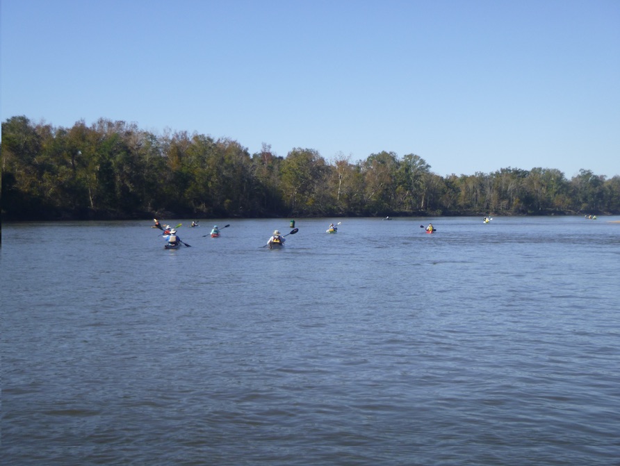
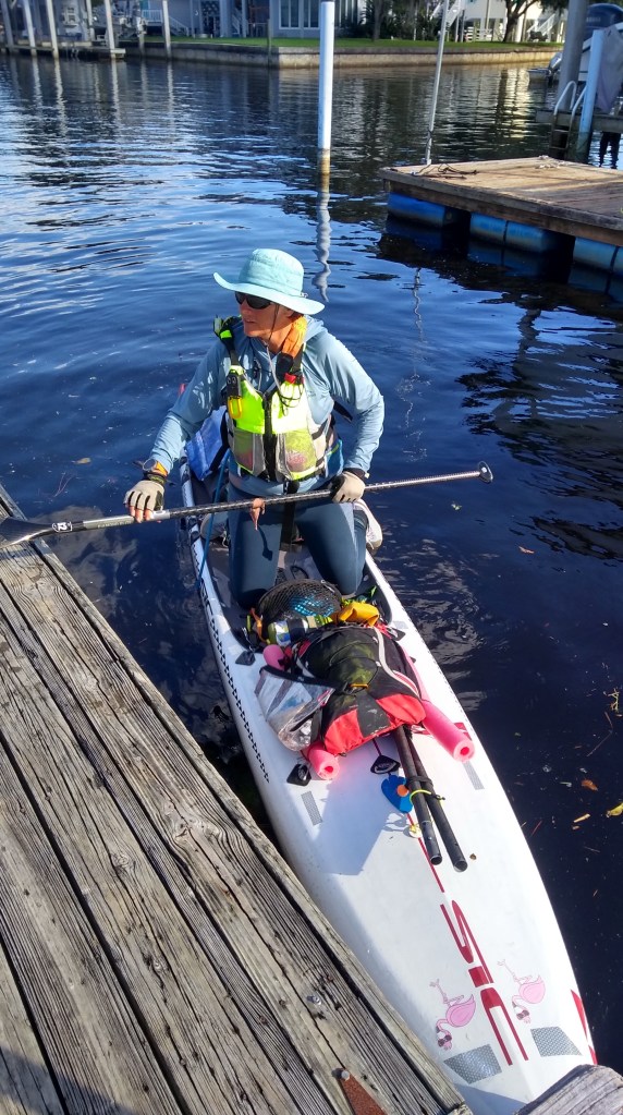
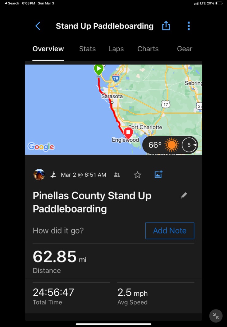
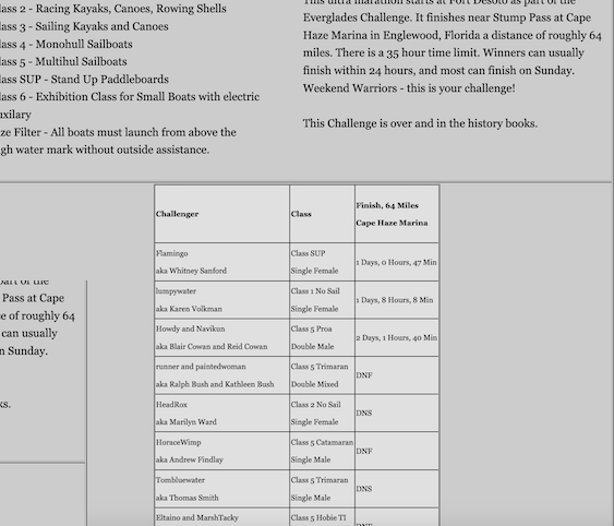
7 am. The horn blows, and I, Flamingo, shoved my paddleboard—a 14′ x 24′ Sic Maui Atlantis—into Tampa Bay. Destination: Cape Haze Marina in Englewood, Florida, 62 miles south, also Checkpoint 1 of the Everglades Challenge. I was not alone. Over 80 boats stretching along Fort de Soto Park‘s East Beach launched en masse marking the start of Watertribe 2024. As part of Watertribe’s Ultramarathon, I had 35 hours to reach Cape Haze Marina. Those in the 300 mile Everglades Challenge had approximately one week to reach Key Largo.


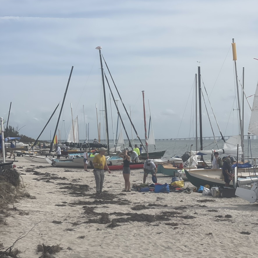
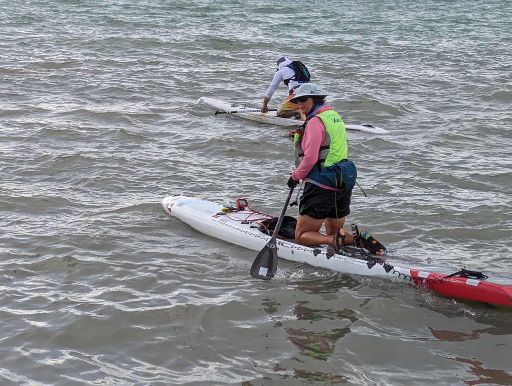
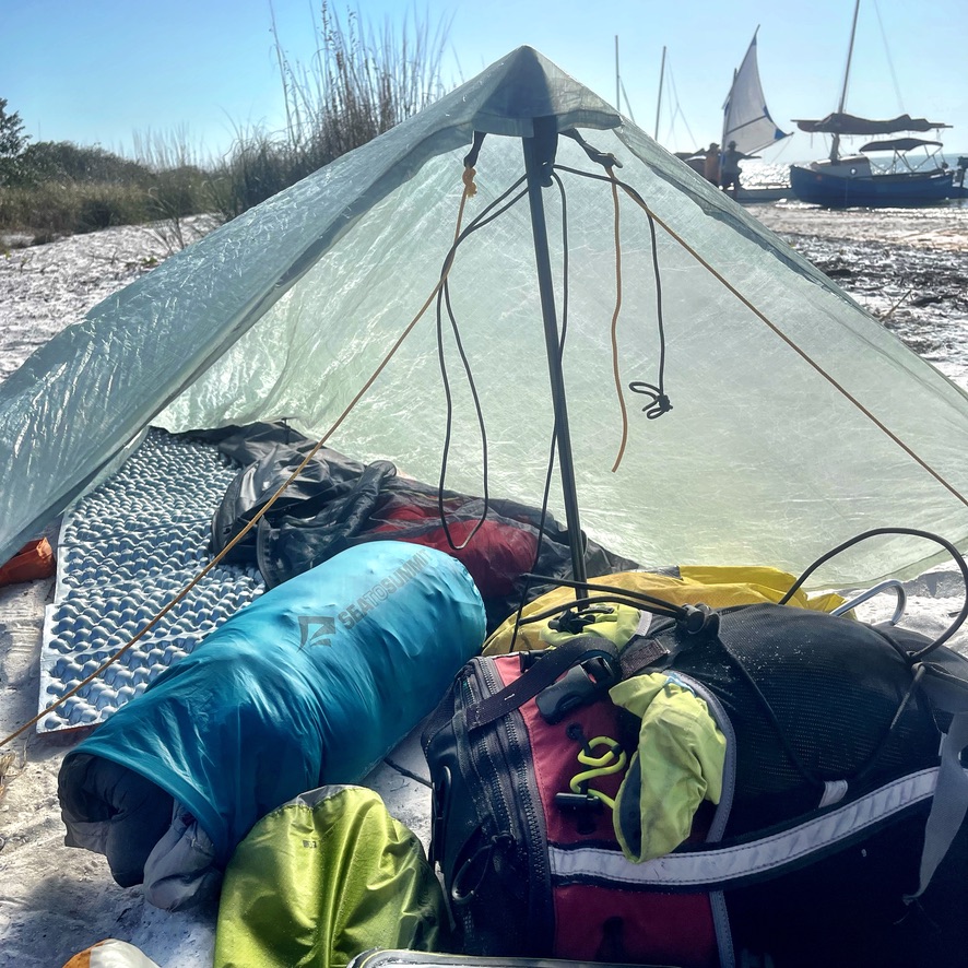
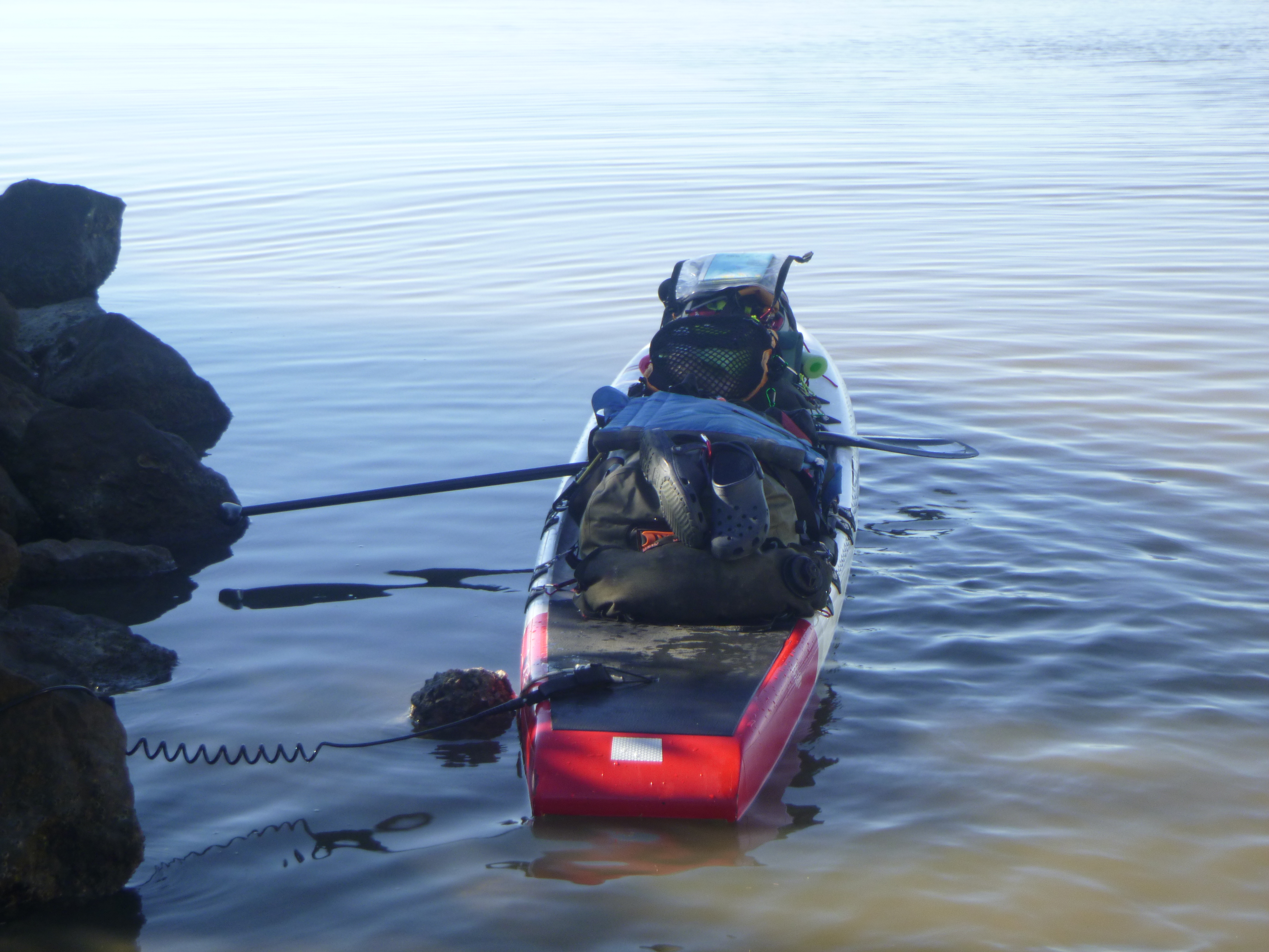
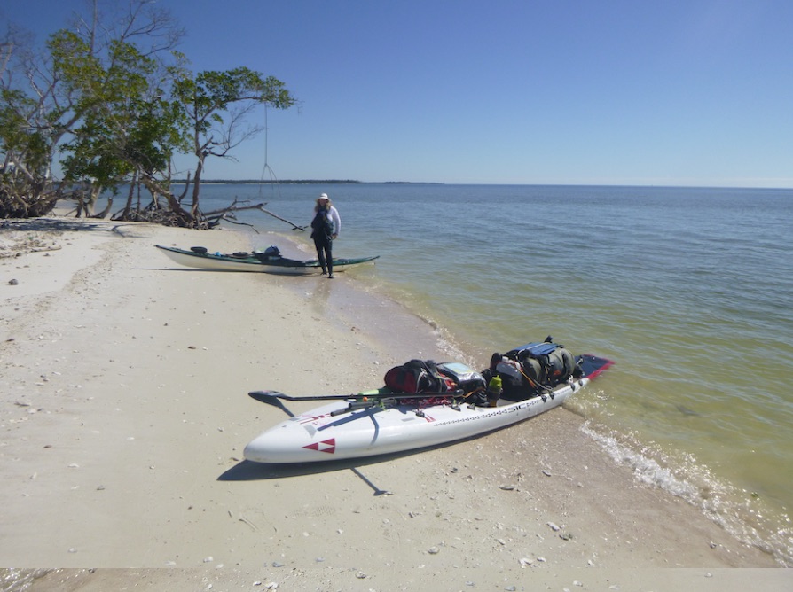
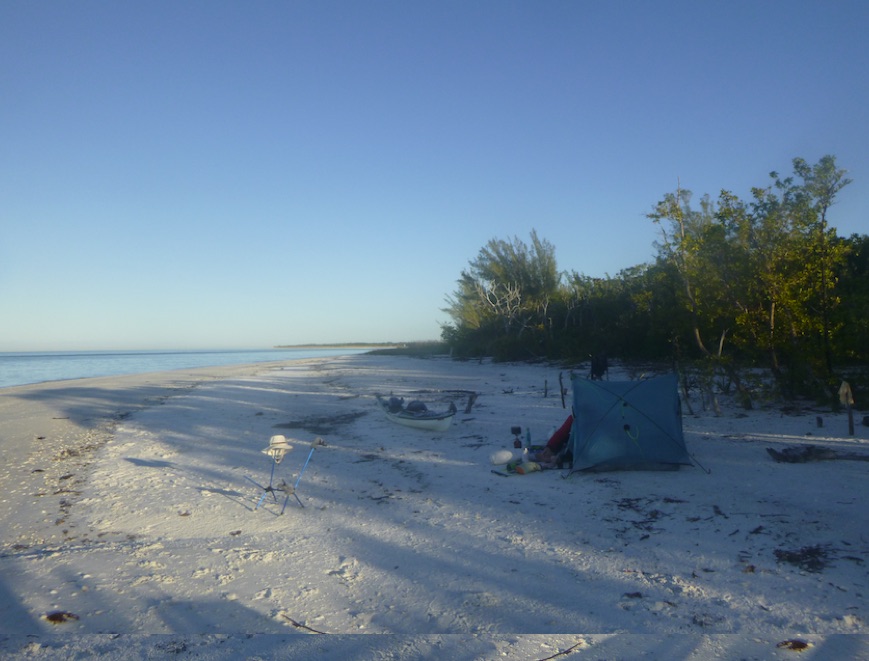
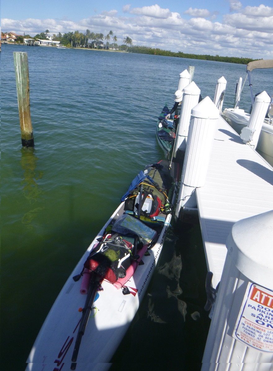
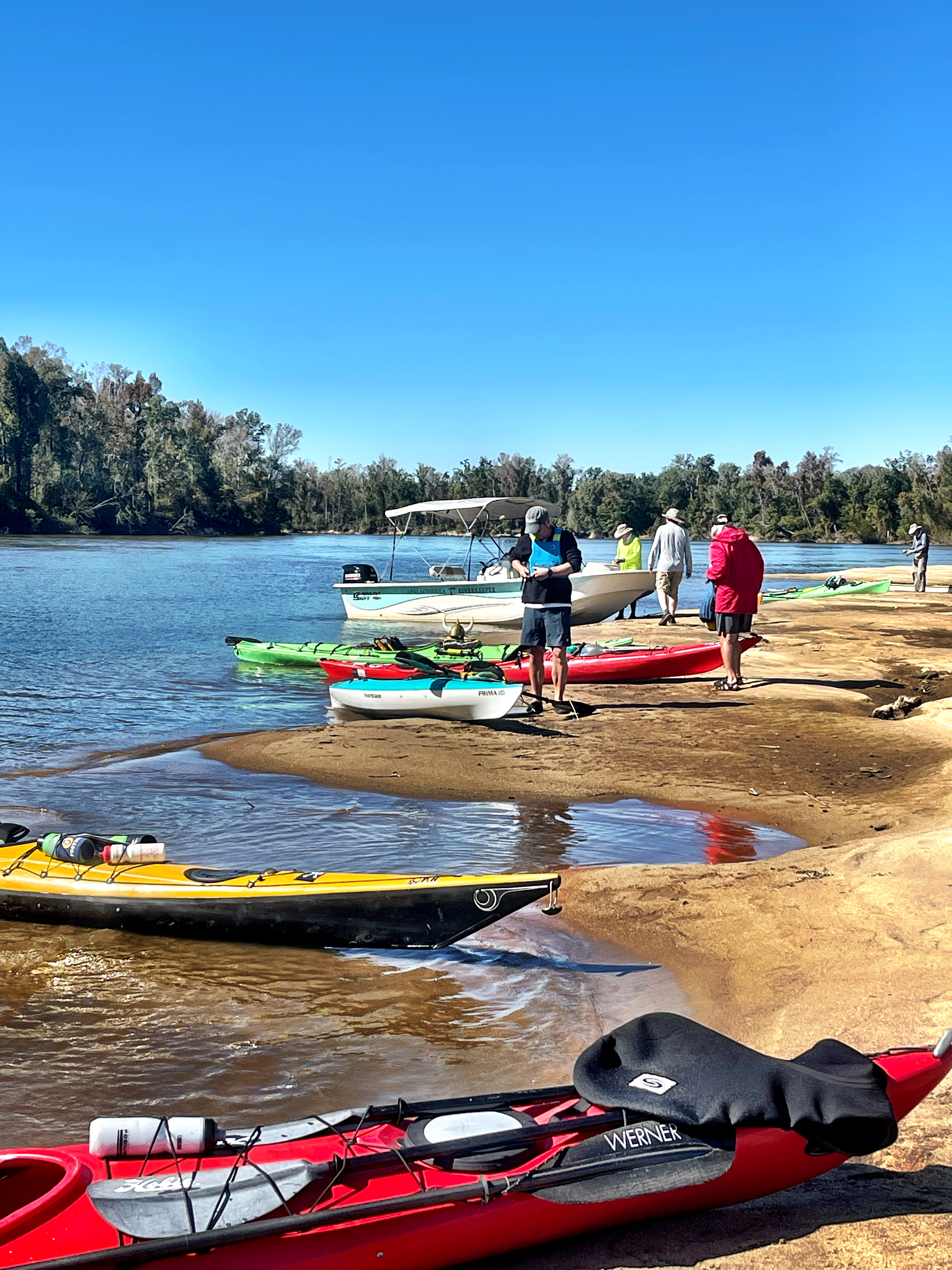
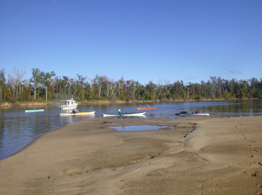
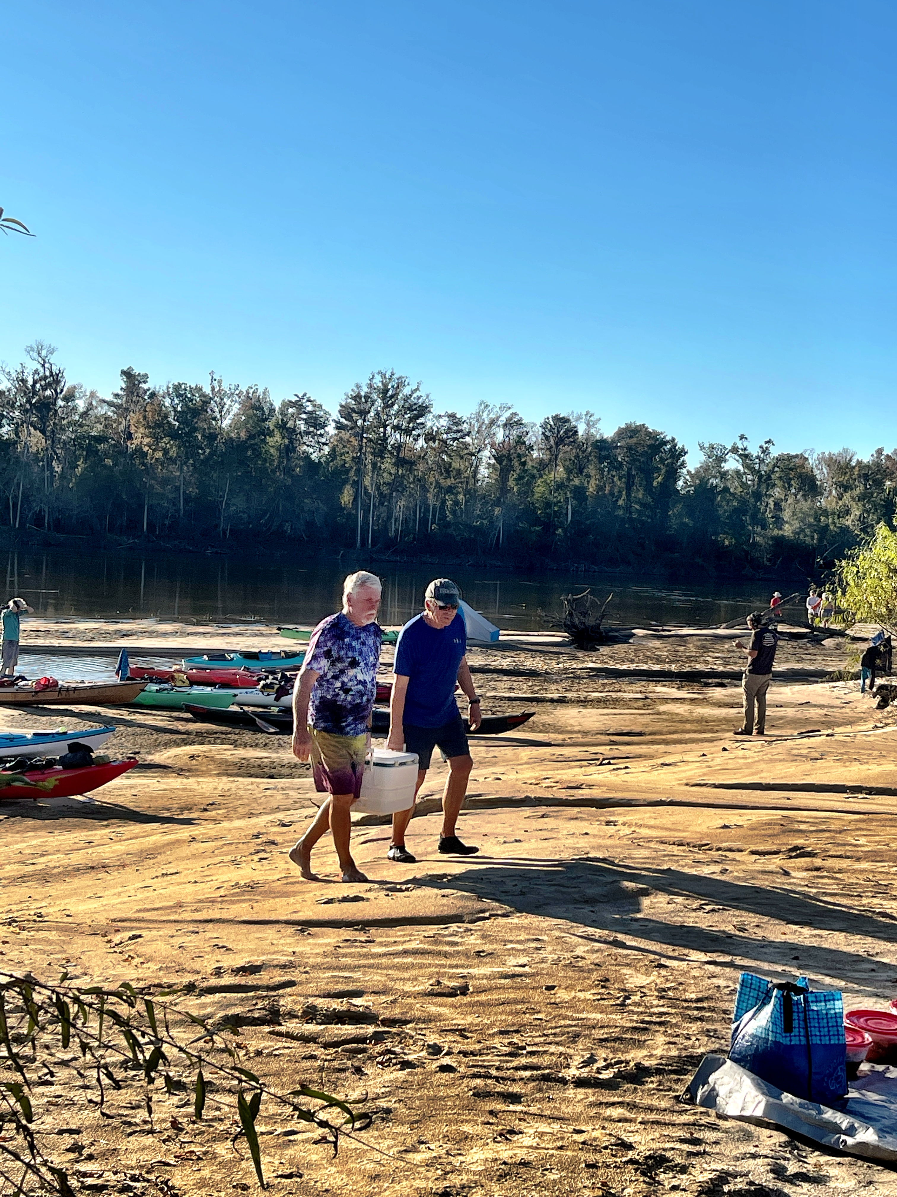
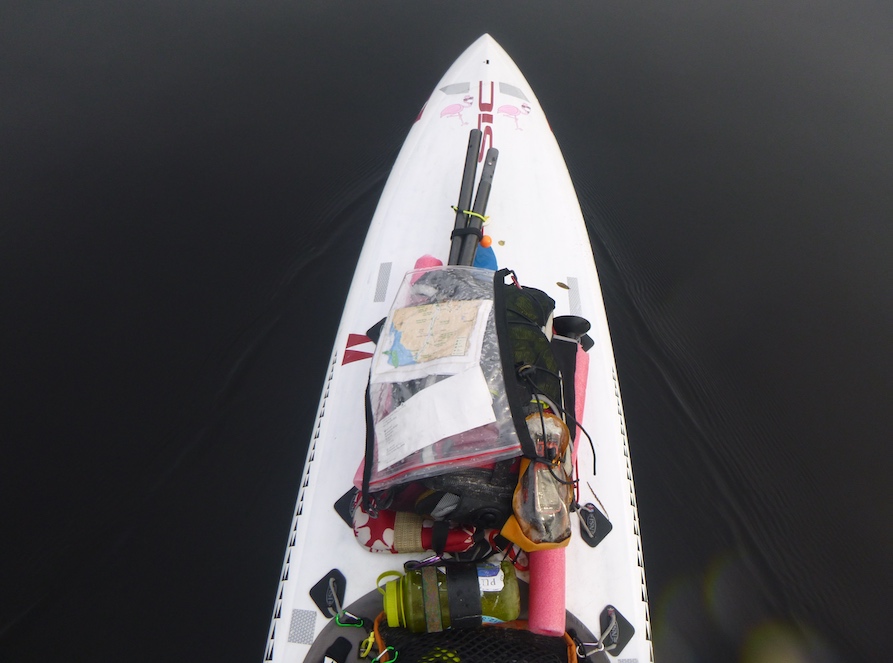
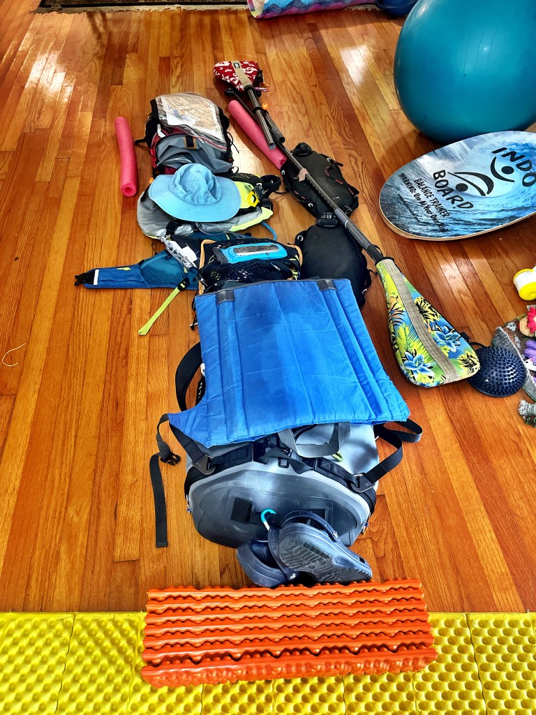
The day prior, we gathered on the beach to set up boats and undergo pre-race inspection. Since participants spend between 1-7 days on the water, we carry a substantial amount of safety/rescue and camping gear as well as food and water. As part of my training, I paddled many miles loaded with gear and practiced getting on and off the board.
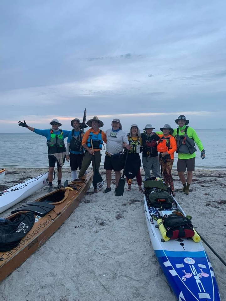
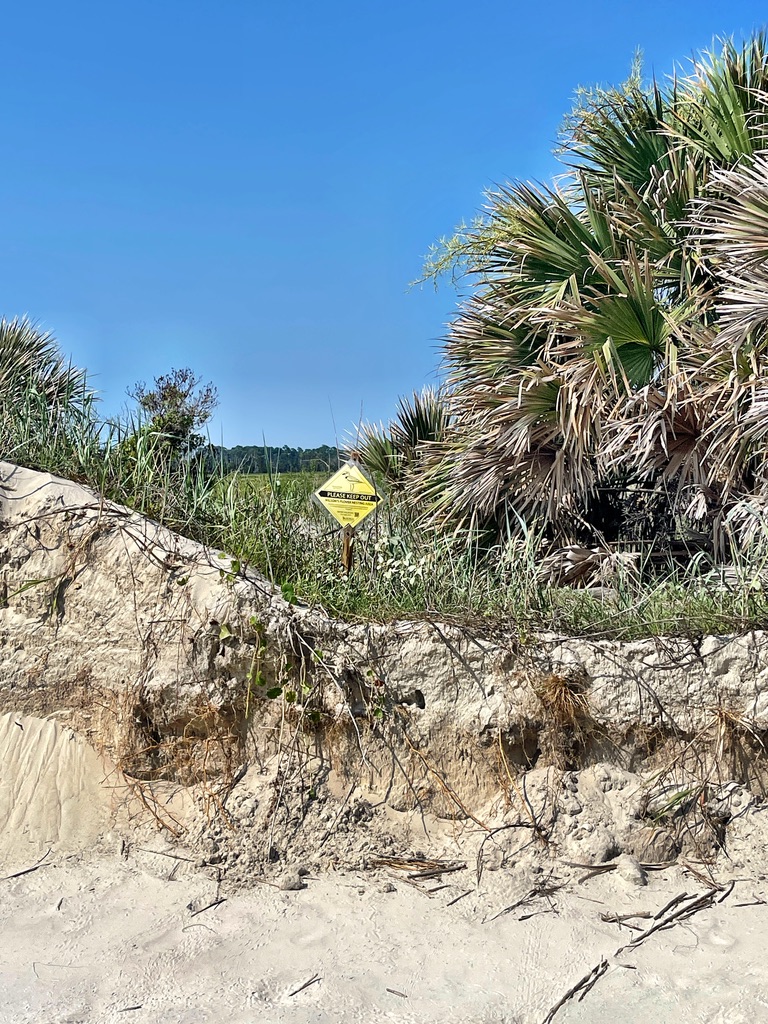
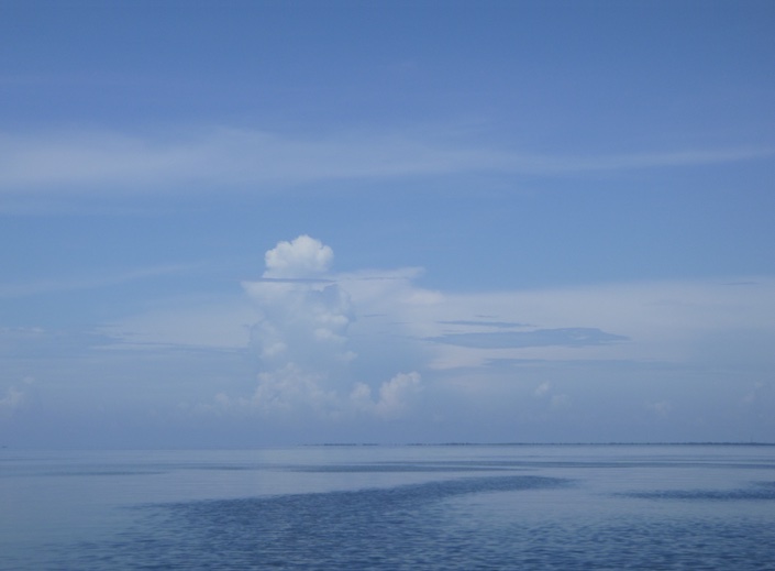
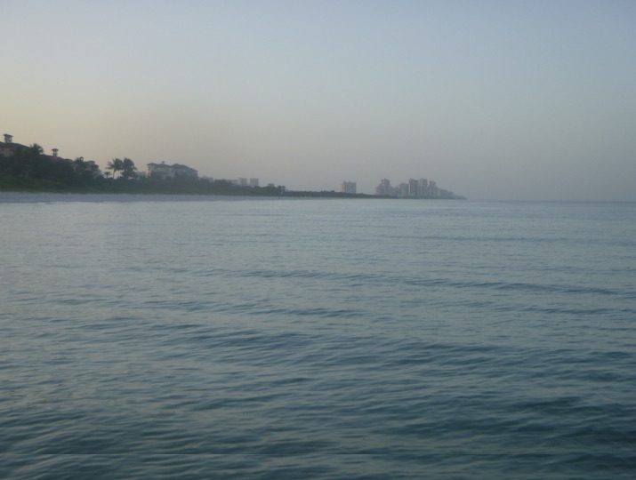
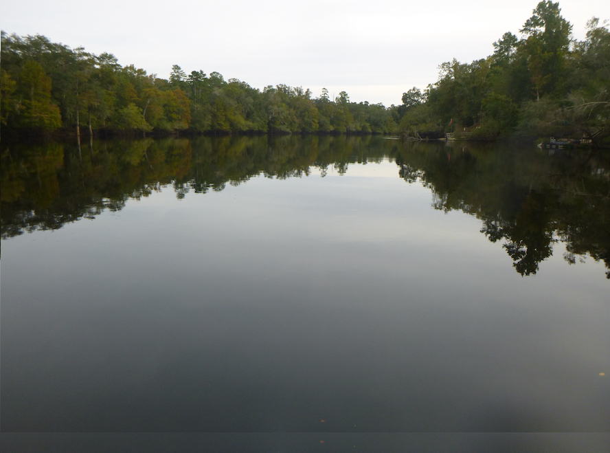
We arrived pre-dawn, and I was thrilled to see low winds and calm seas. In previous years, rough weather required a Plan B start, a launch south of Tampa Bay. Everyone was excited for a beach start and smooth crossings of Tampa Bay and Sarasota Bay.

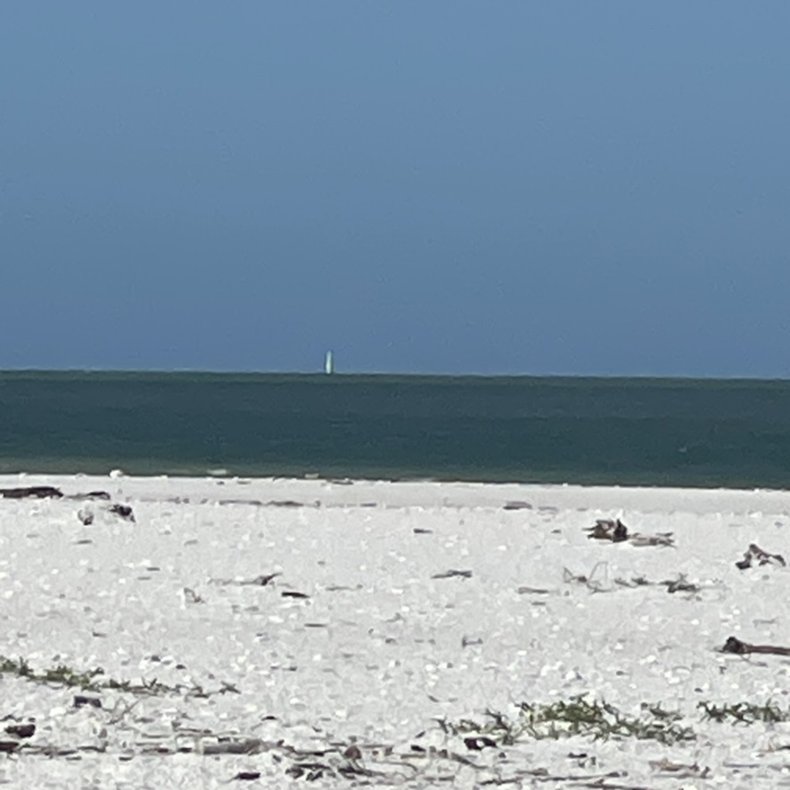
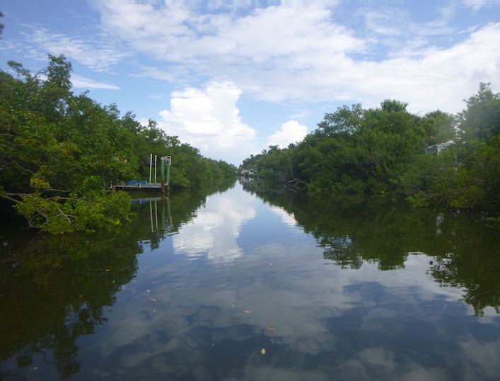
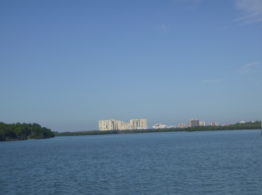
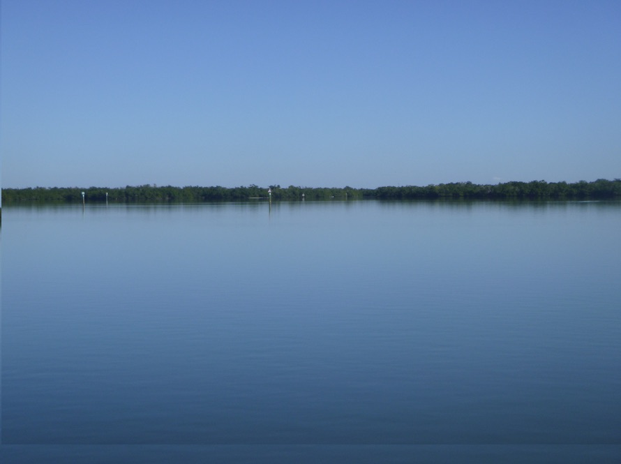
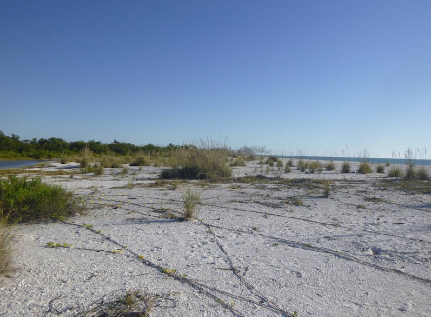
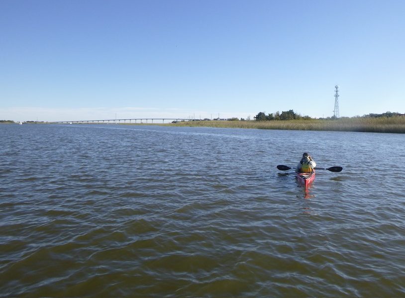
And we’re off! Sailboats charged to the right towards the open gulf; paddlers and smaller sailboats followed the ICW between the mainland and barrier islands. I watched the other boats as we crossed the shipping channel—a huge relief. Light winds and small chop forced me to adjust my angle, keeping me to the west of the others. Beyond Tampa Bay, I saw only one other boat until Stump Pass shortly before the finish.

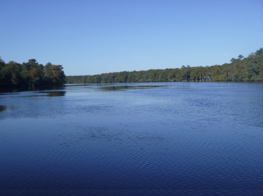
While Tampa Bay had intimidated me in the past, I should have feared Sarasota Bay. Friends had warned me that Sarasota Bay was shallow and choppy. Surfing the rollers was fun at first. Eventually I fell off, and the board flipped as I climbed on. Not a race highlight. Next year: balance my gear weight better.
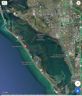
Sarasota Bay was long, really long, but I knew that the waterway would narrow and calm as it narrowed on the south end. After a day of relative isolation, I was not prepared for the hellscape that was south Sarasota Bay. Think Waterworld: Churned waters, tour boats racing through the anchorage, and party boats. Florida spring break. At least I got through before sunset.

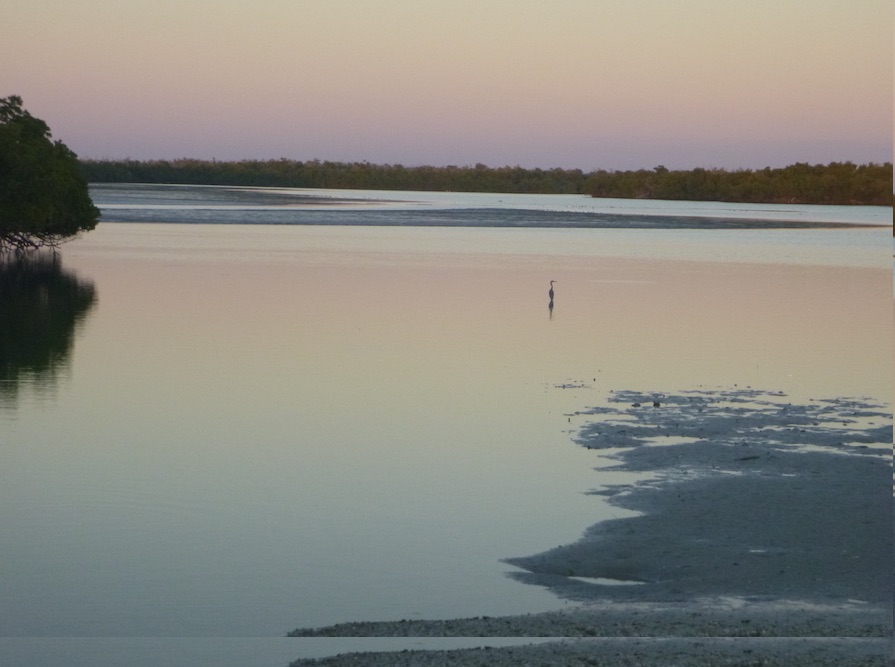
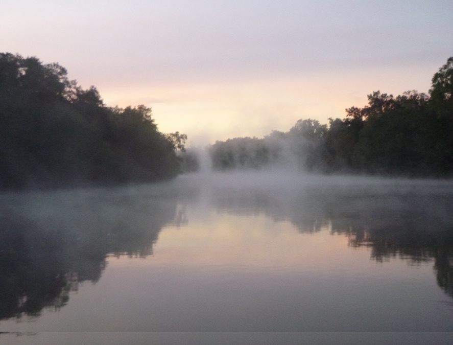
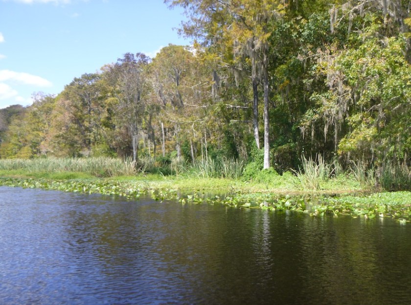
Somewhere past Little Sarasota Bay and Vamo, darkness fell. I set my Garmin watch on the map/navigate mode so the sun was my sole guide for time of day. With such a long paddle, I didn’t want to obsess about miles and speed since I could only go as fast as conditions allowed. Not knowing the time was freeing but also disorienting.
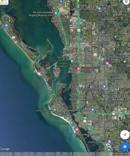
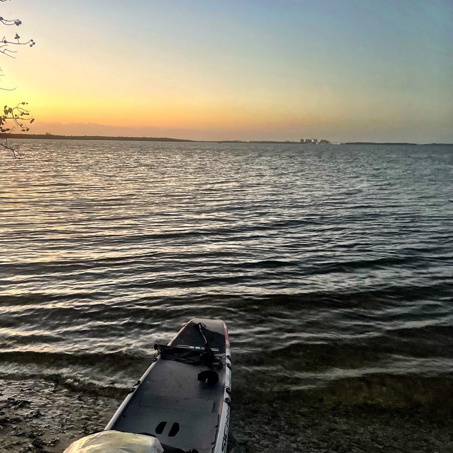
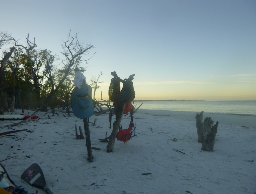
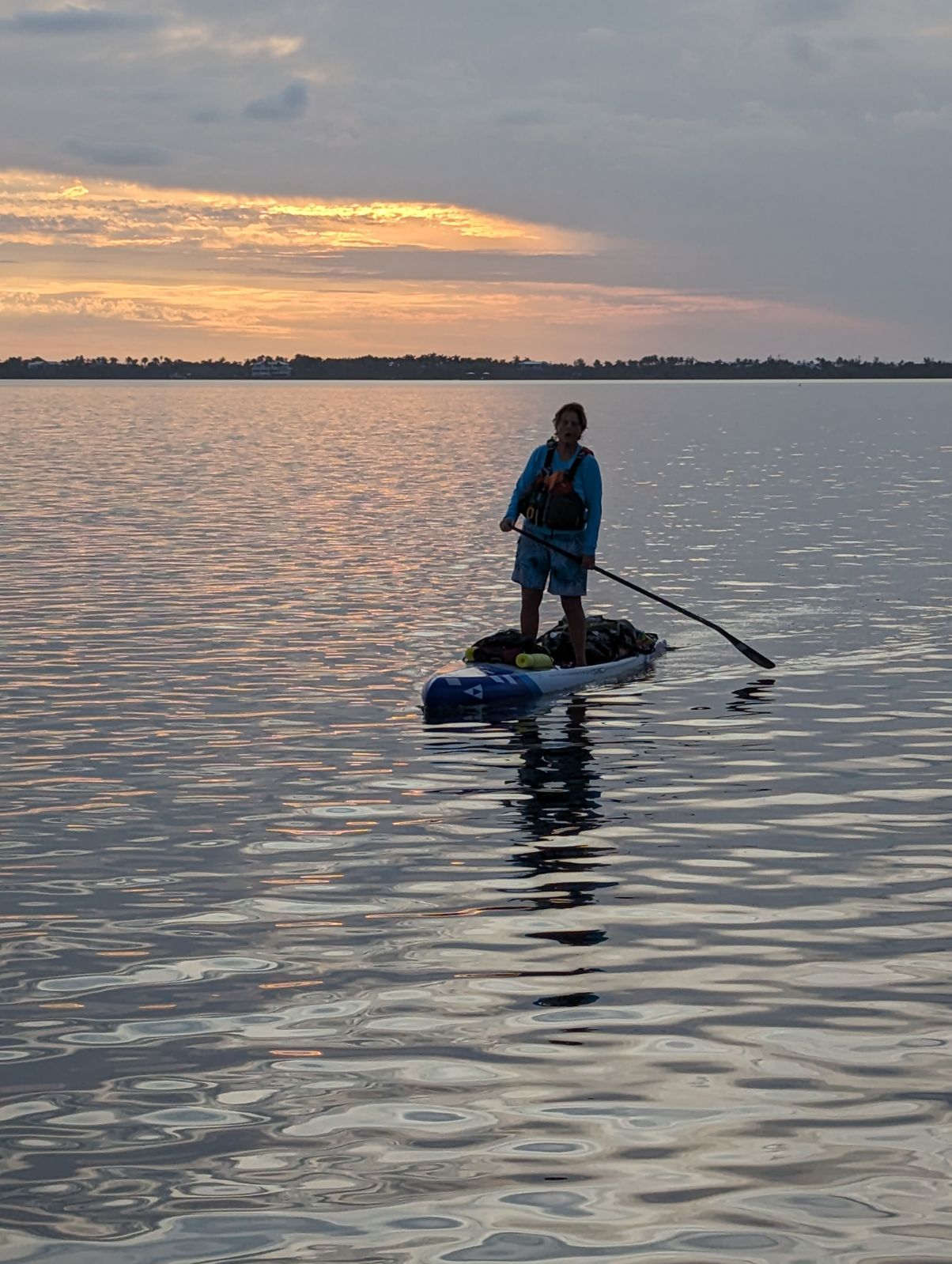
Near Vamo, I put on my night paddling gear and lights. By this time, the course narrowed, boat traffic fell, and paddling became much easier. At times, I fought tidal currents, and the top of my paddle came unglued, but the calm night time conditions outweighed those inconveniences. I saw some small fishing boats but mostly I was alone on the water on a moonless night.
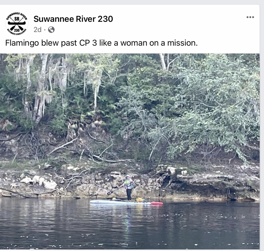
Just north of Venice, I passed Snake Island where I heard voices, most likely fellow tribers. I paddled on, remembering the advice that you’ll stop if there’s an easy way out. Many tribers paddle or sail through the first night to bank miles for the inevitable weather delays. The Ultramarathon for me was prep for next year’s Everglades Challenge—crossing the bays and paddling though the night were a good test.
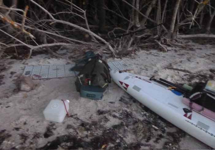
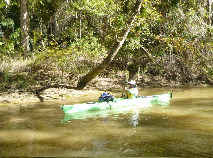
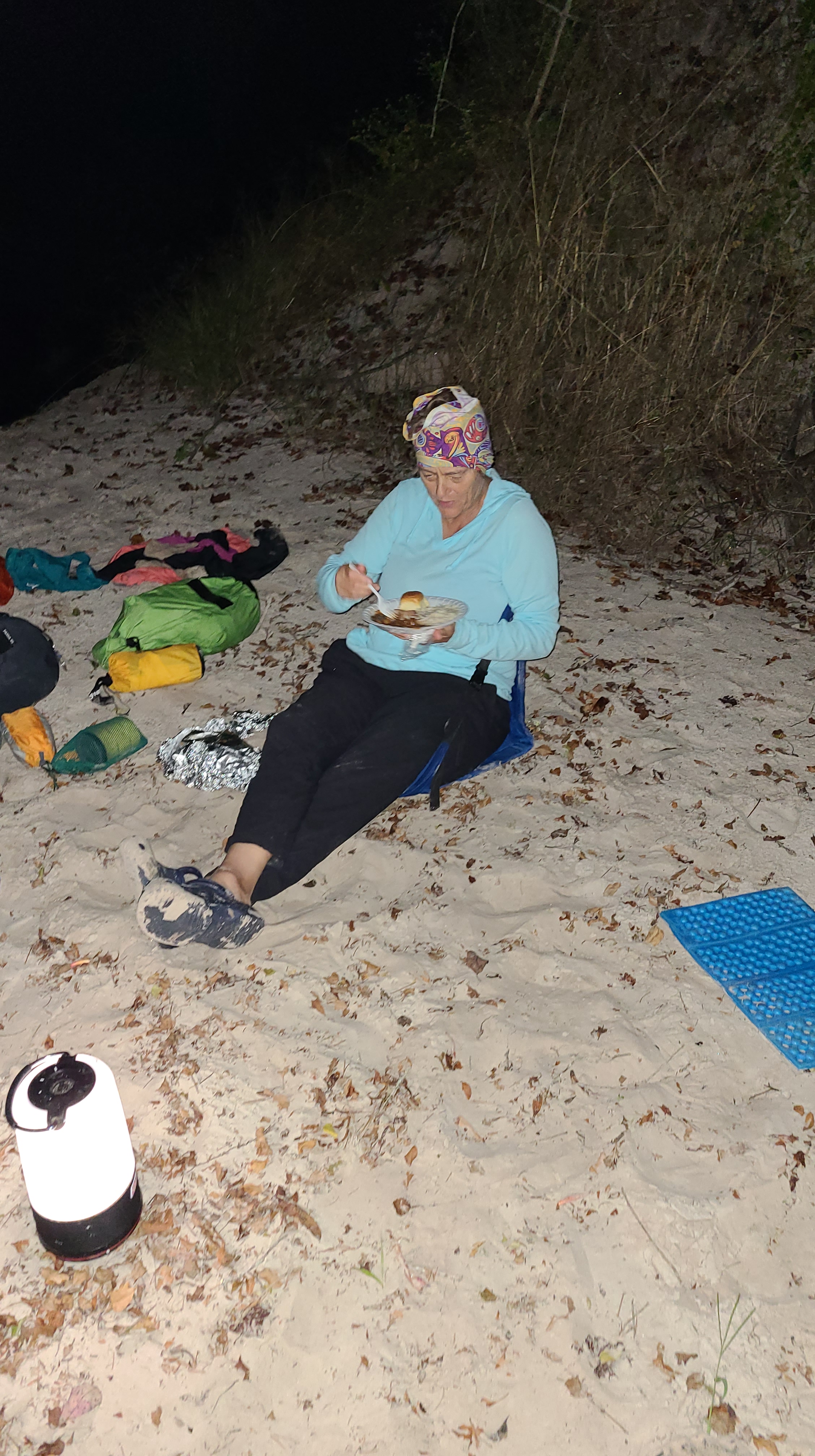
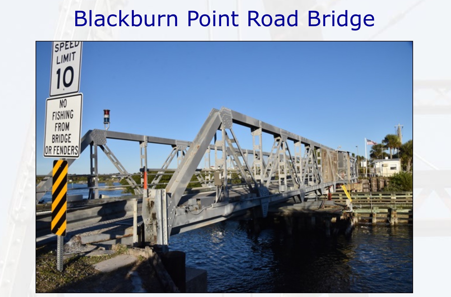
I paddled the ditch, a rock-walled channel around Venice airport, sitting on my Crazy Creek chair. Slow, but still progress. It tweaked a different set of muscles, but saved my feet and legs from cramping. I think I dozed off once or twice. Sometime beyond the ditch, I considered camping when I realized it was 4 am, I thought why bother?
I love the meditative aspect of night paddling, but it affected my balance, something I experienced during the Suwannee 230. I had no problem standing on the board, but I couldn’t stand on land without a paddle for balance.
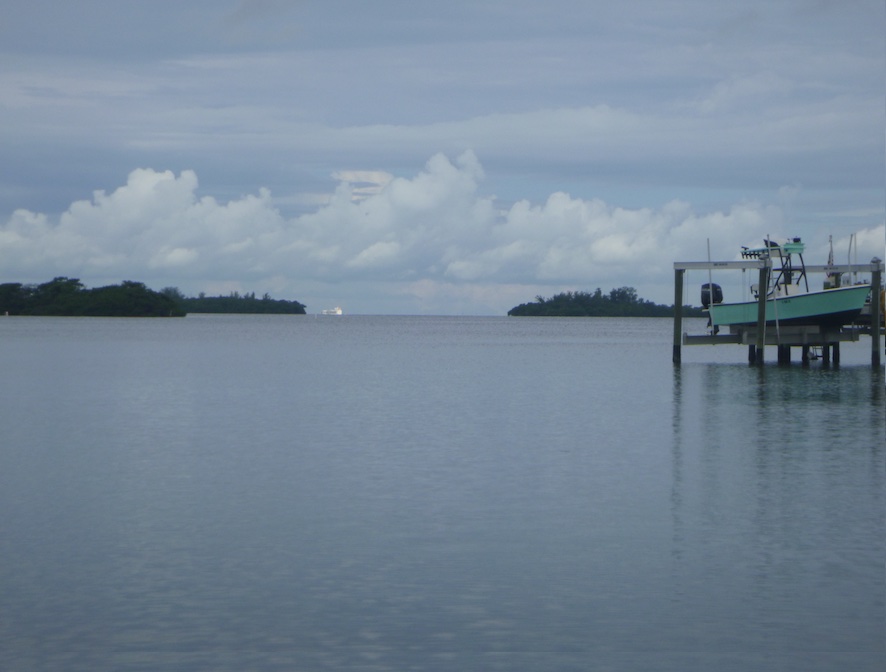
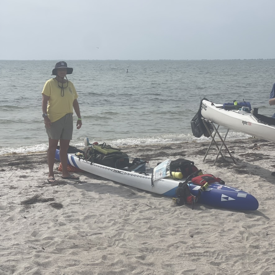
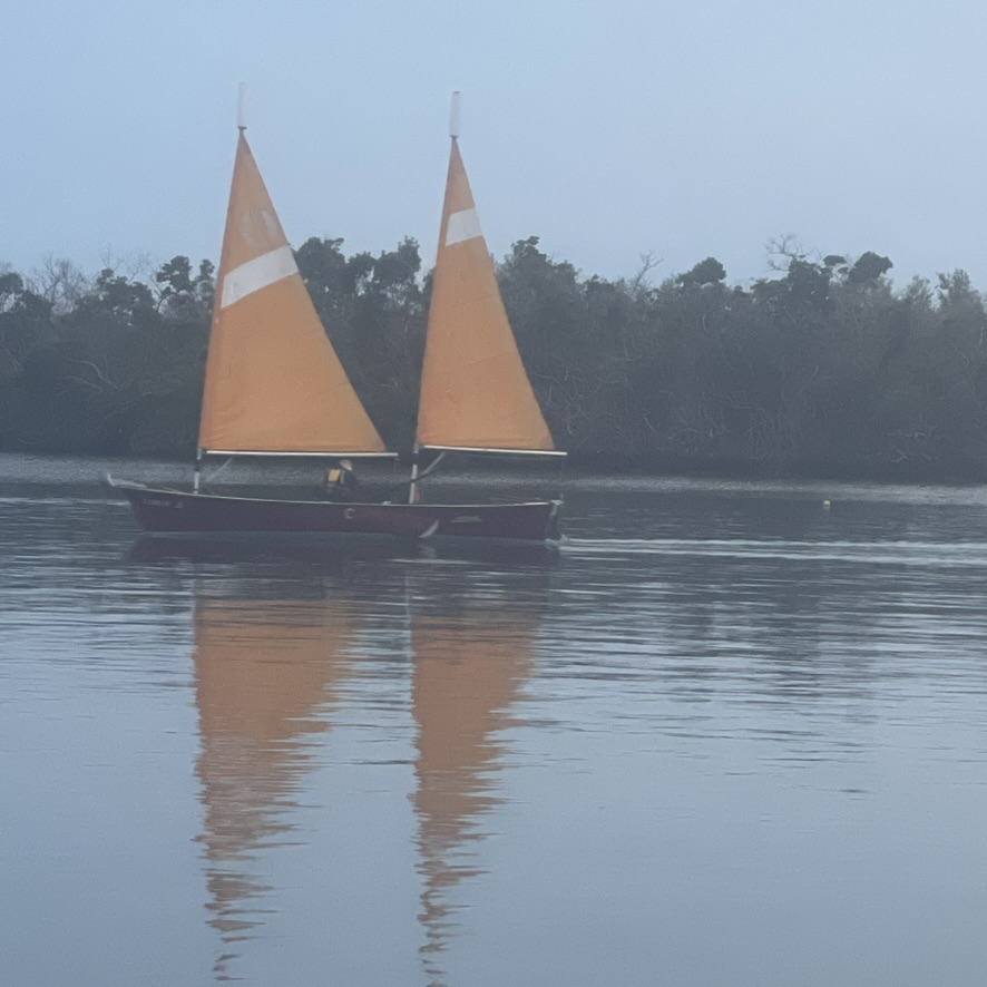
When I reached the dreaded Stump Pass, known for its shifting shoals, three sailboats came though.The first boats I had seen in hours, and we all finished around the same time. I assumed I was dead last, but instead I was first in the Ultramarathon and in the middle of the pack for Everglades Challenge.


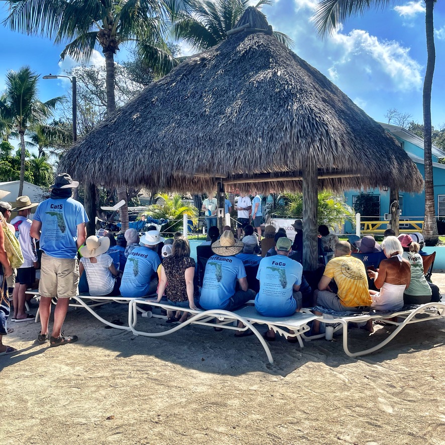
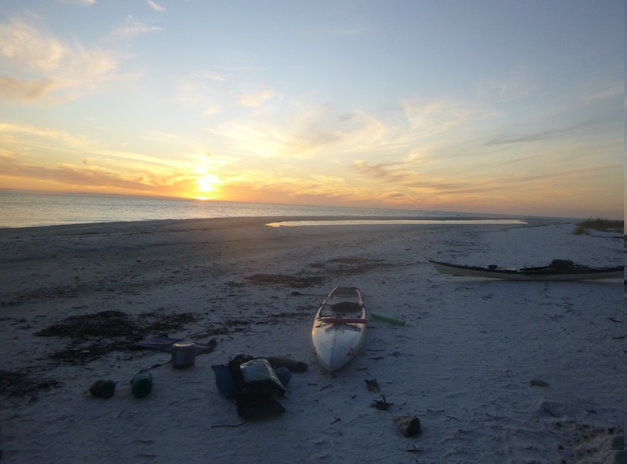
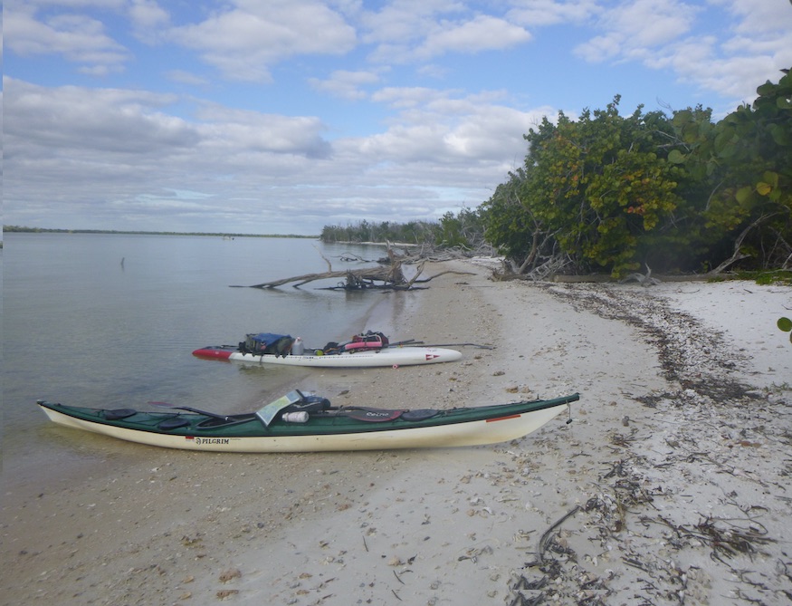
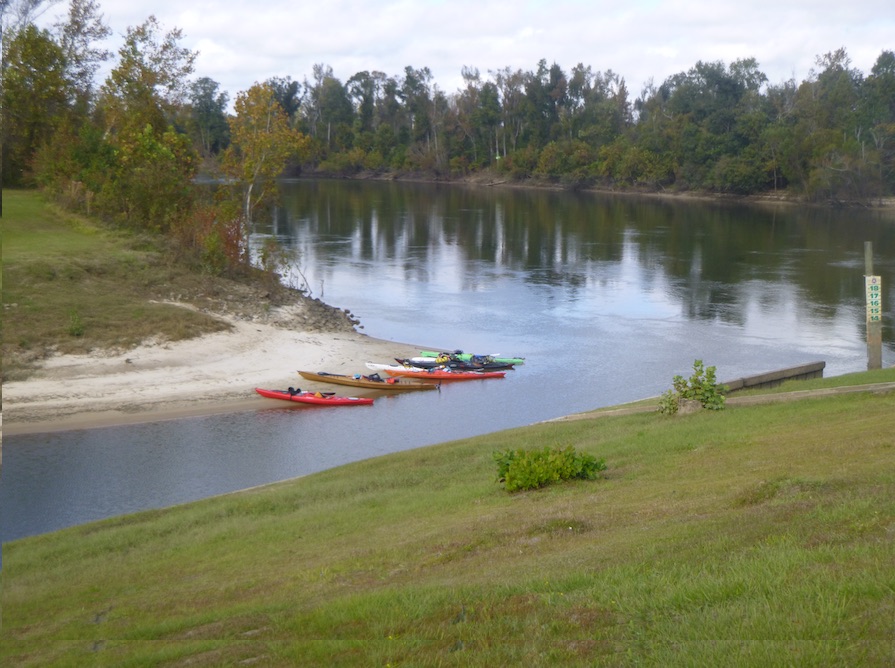
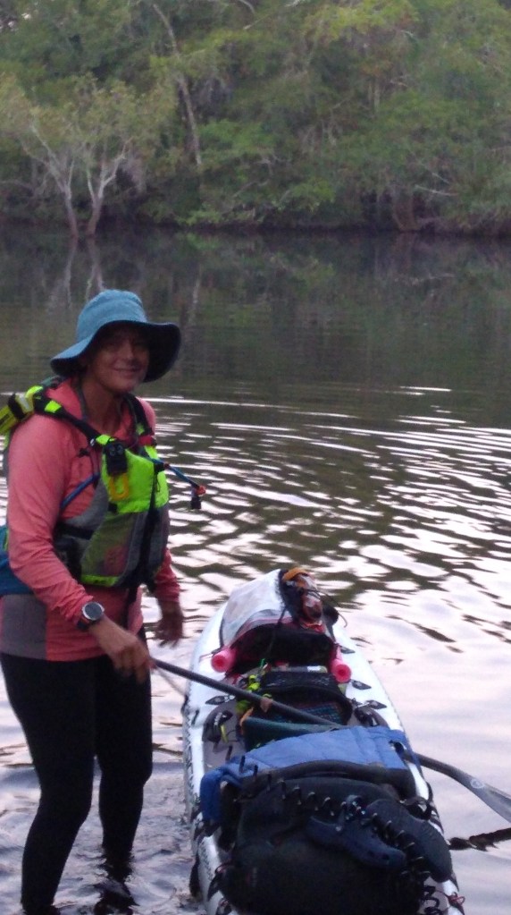
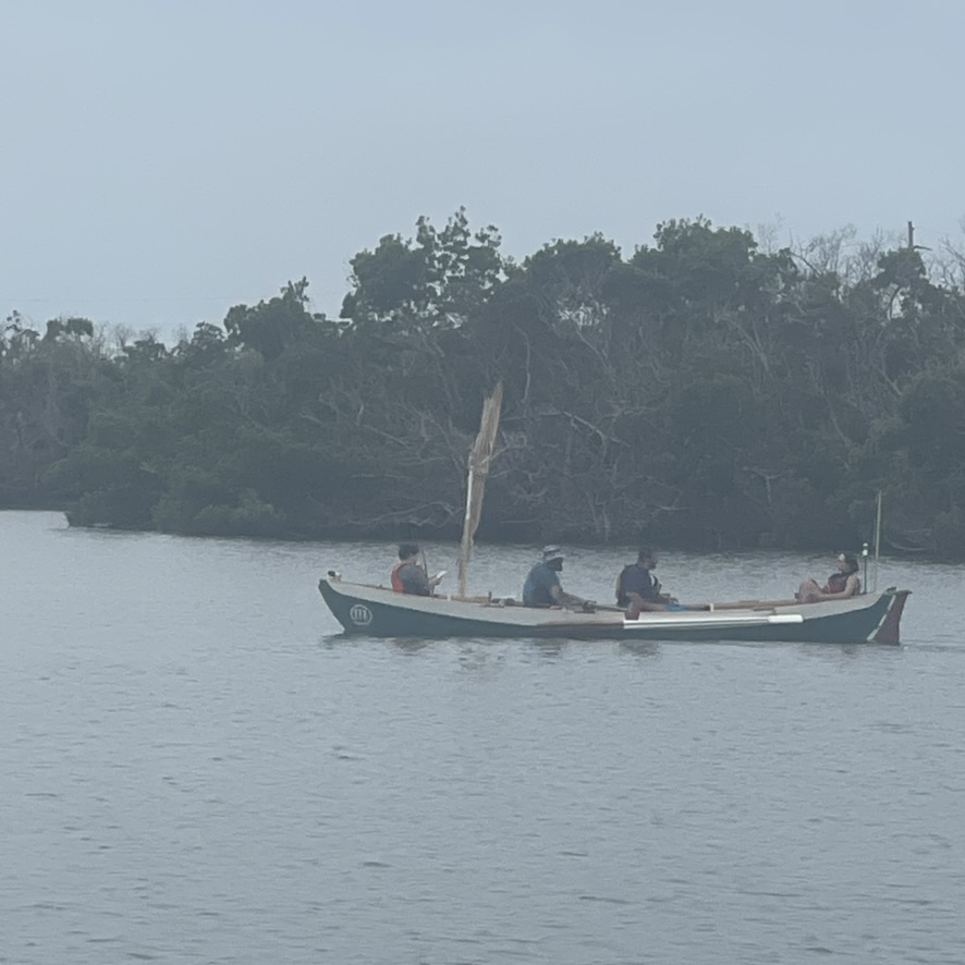
I was exhausted but standing. When I checked in, I couldn’t remember the time format which says something. But the hot noodles were restorative, and I enjoyed hearing stories from others as they checked in. Eventually I reloaded the board and paddled several miles south to an anchorage where I met Kevin and KneeDeep 1. The next morning, I woke up to three sailboats rowing by. The sailors had a tough year.


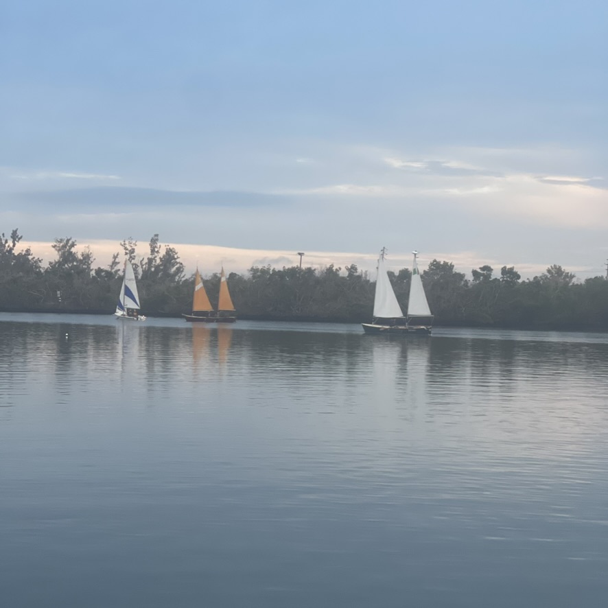


Monday evening, just before sunset, first Windturn and then Calypso and One-Eyed Jake passed by in Floozie as they began their Charlotte Harbor crossing. I paddled out to cheer them on, and Mary and I raced with our SUP paddles. I jokingly said I wished I could cross with them on that windless evening. Part way through their crossing, the wind came way up. Such is the fickle March weather of Watertribe.

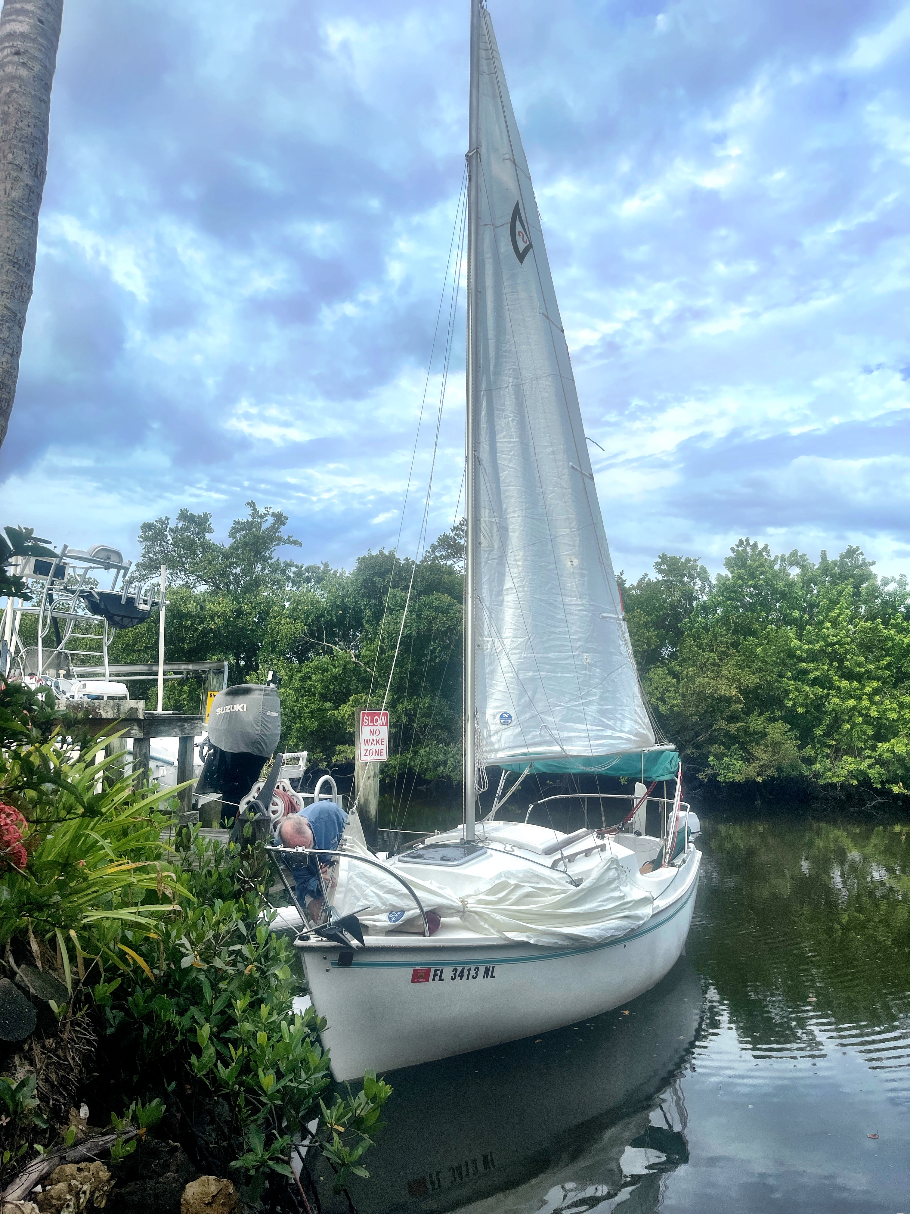
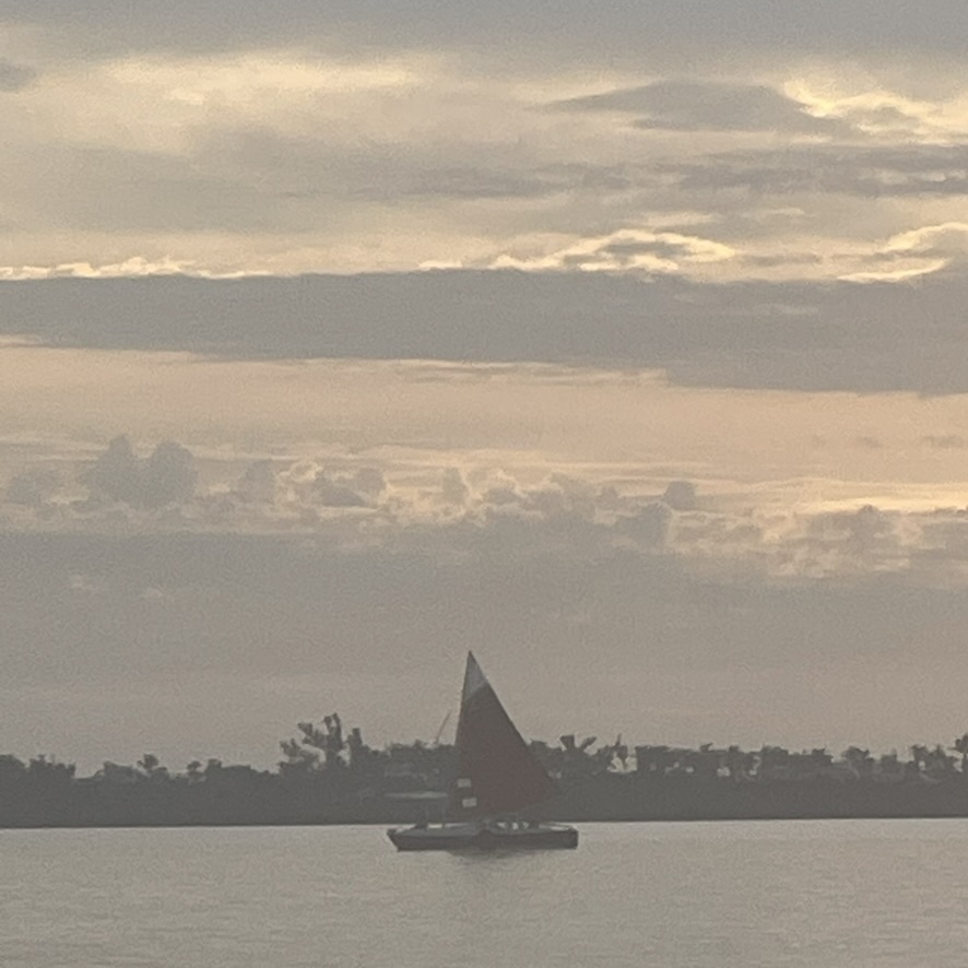
Kevin and I paddled and sailed around the north end of Charlotte Harbor for several days. On our last night, we rode out our first squall on the boat. Our jib came undone, and we fought to retie it. But we were safe in a protected anchorage, and we thought of those in the direct path of the storm. A reality check—Anything can happen in the course of the race. Completing the Ultramarathon gave me confidence but also showed where I can improve for next year’s Everglades Challenge. Let the training begin.
Fair winds and farewell until hext year. See you on the beach in 2025!