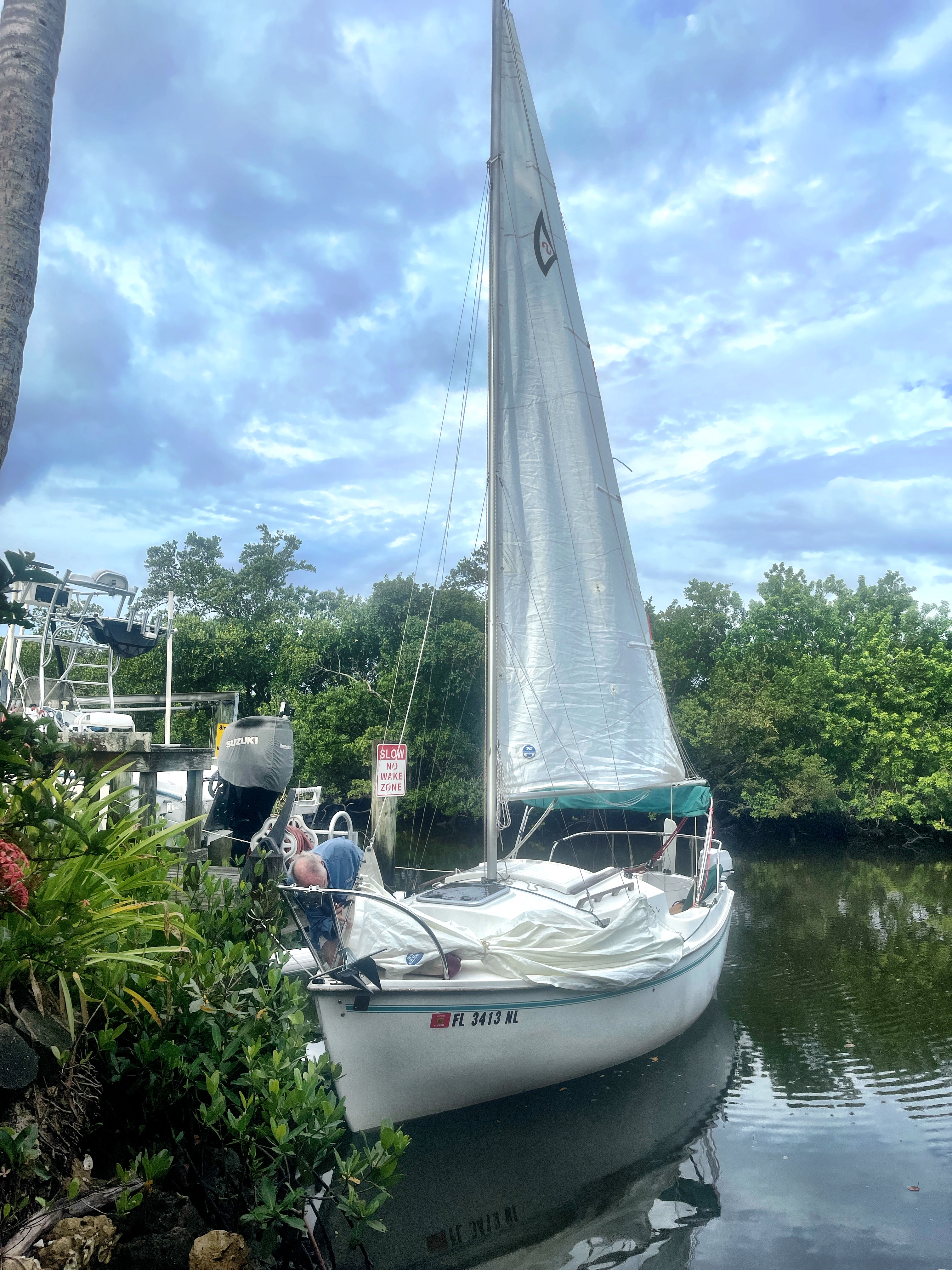
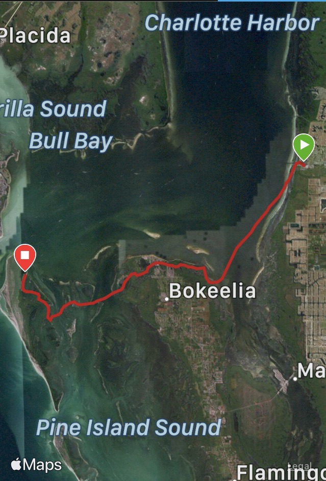
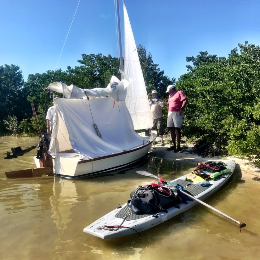
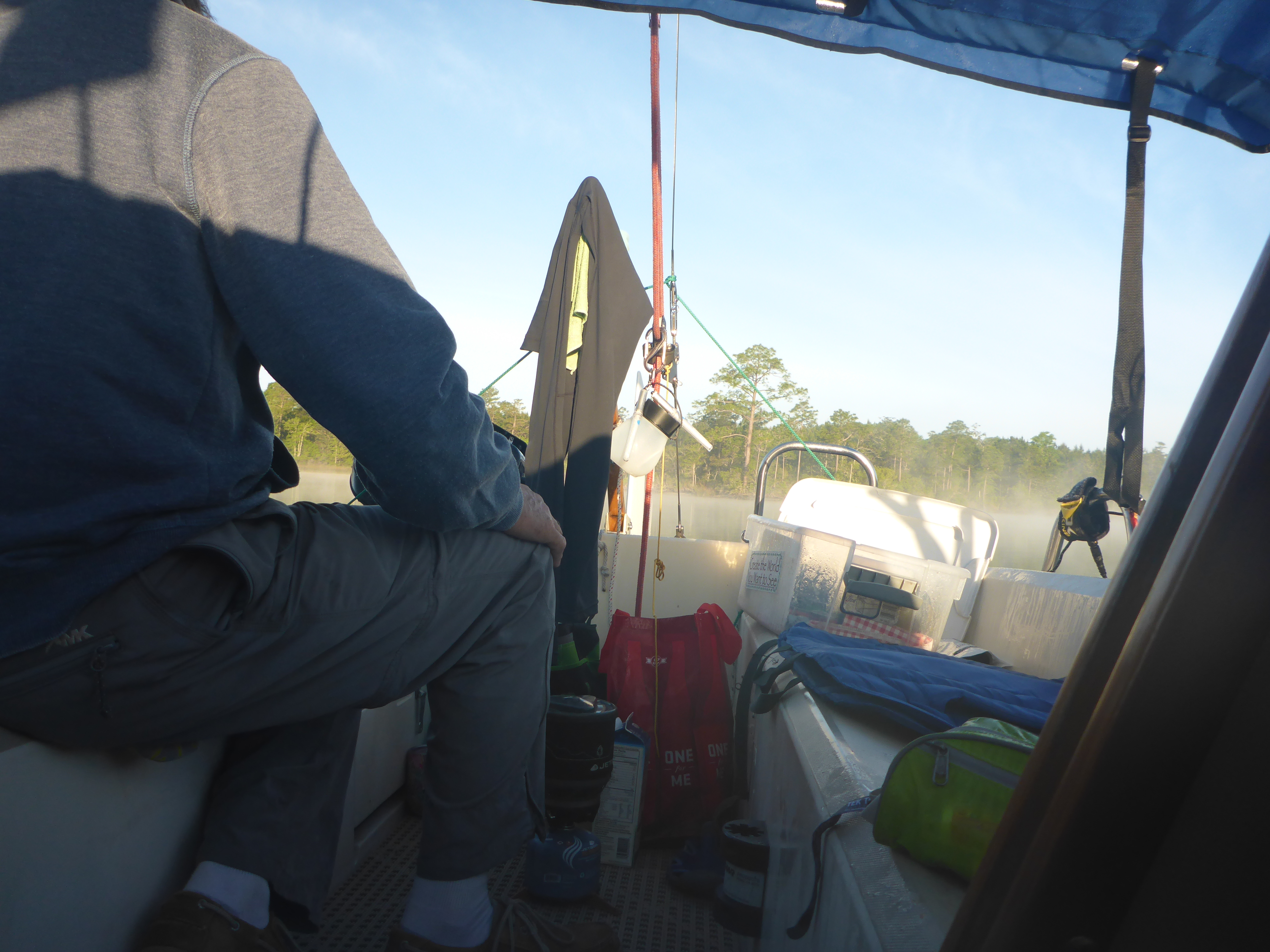
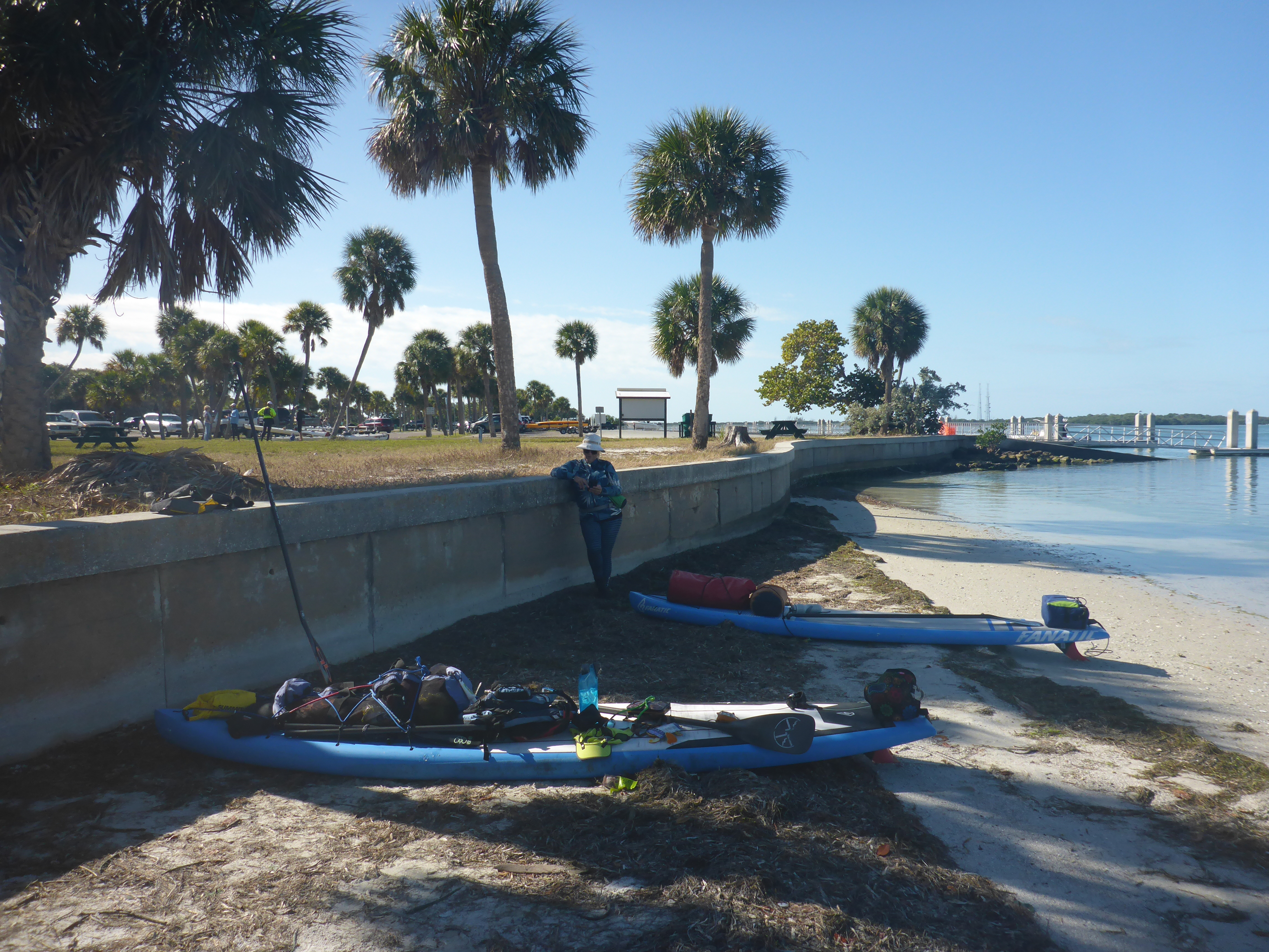
A break in the wearther between storms — we’re off! With board, board, and gear, Kevin and I fought wind and rain to reach Goodland, Florida. Our plan: 5 days exploring land and water in Rookery Bay and the Ten Thousand Islands to test new gear. My new board — a Sic Maui RS Atlantis 14′ x 24″ — and new rigging for our floating tent, a Sanibel 18 sailboat. New gear almost always creates an adventure..


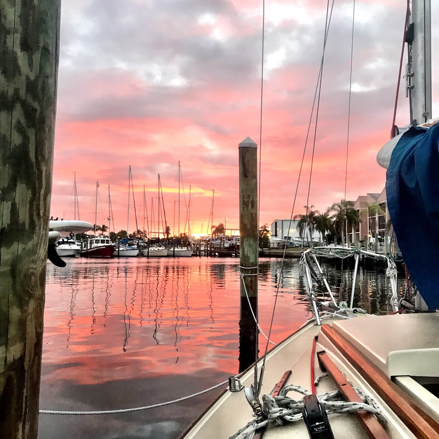
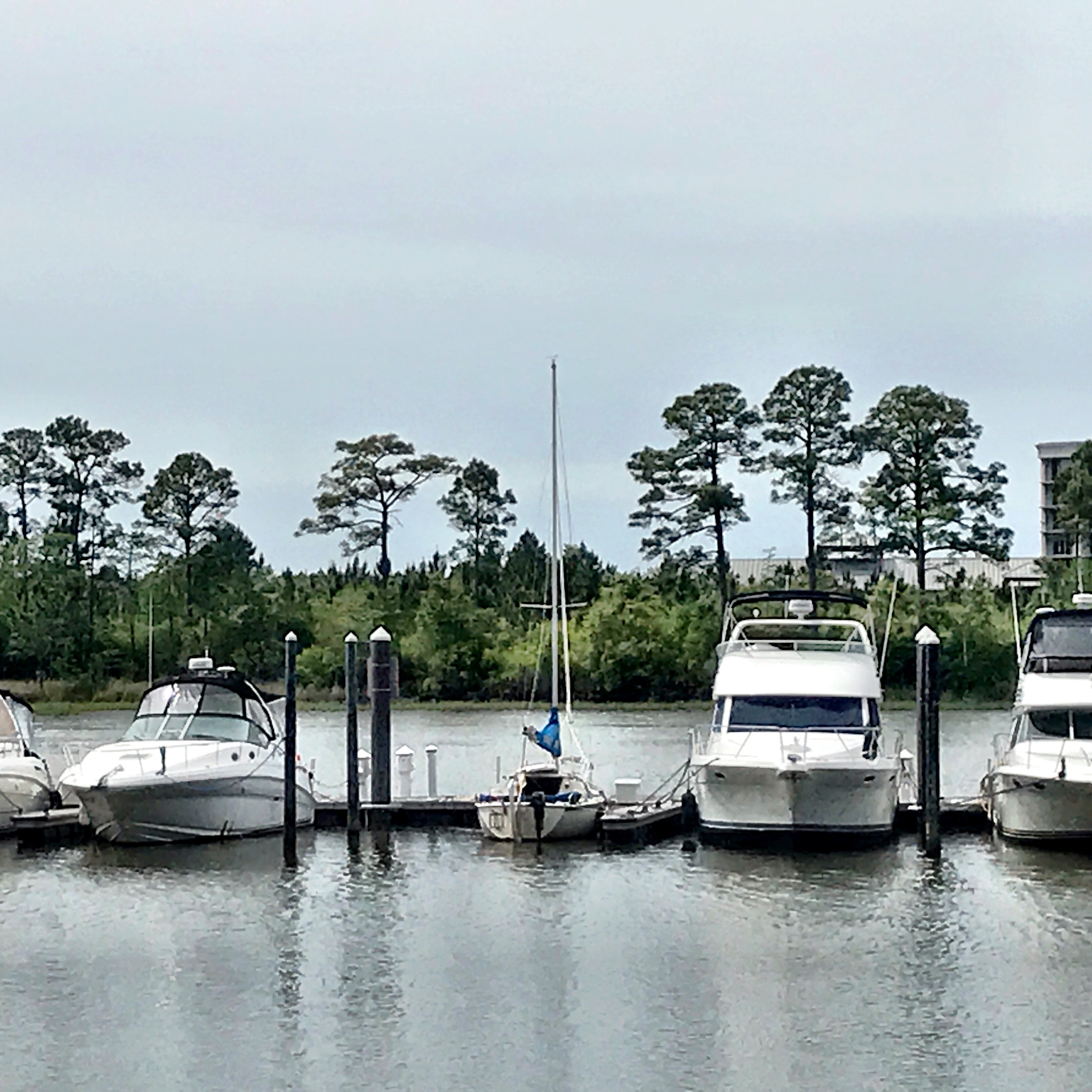
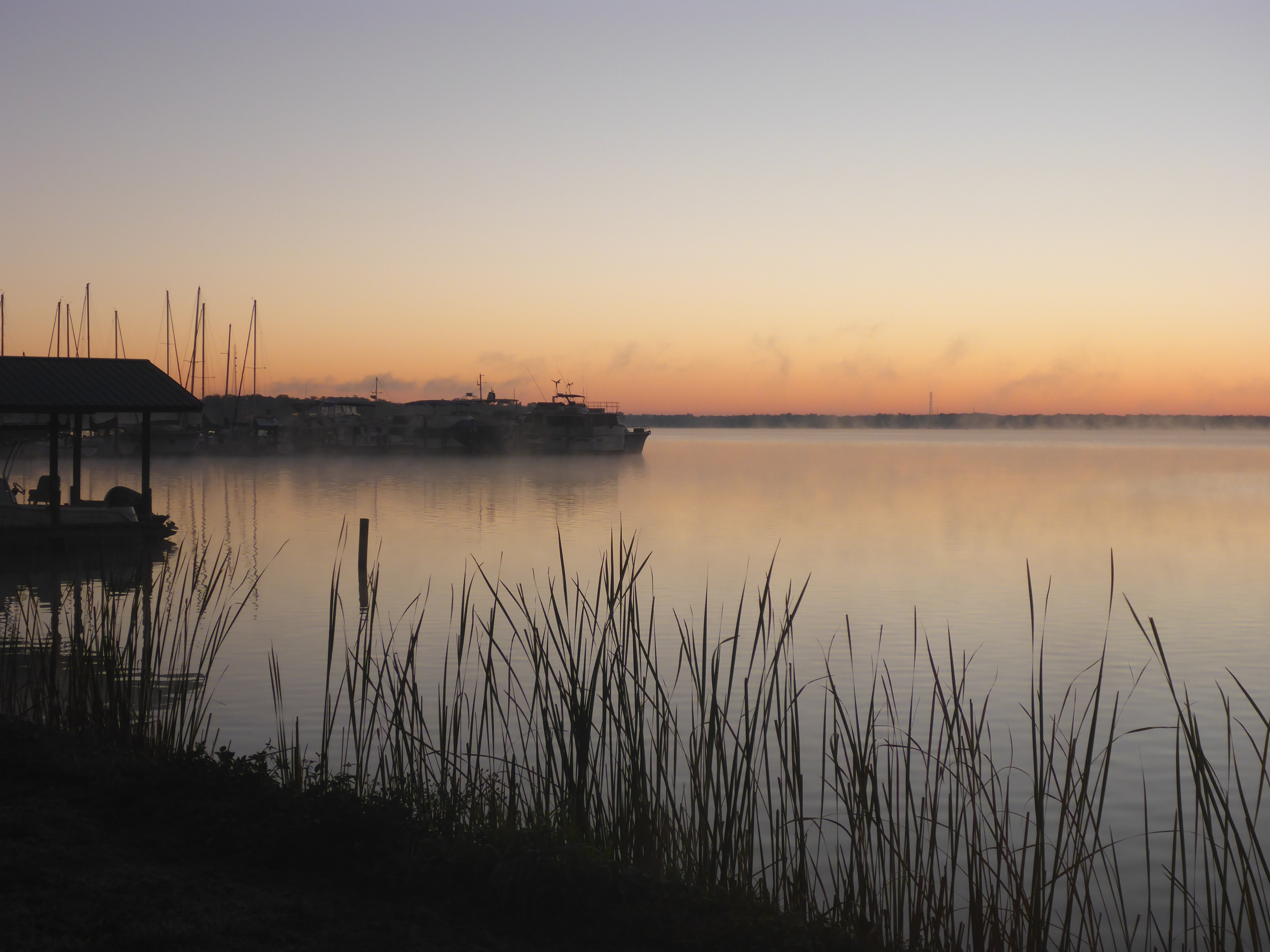
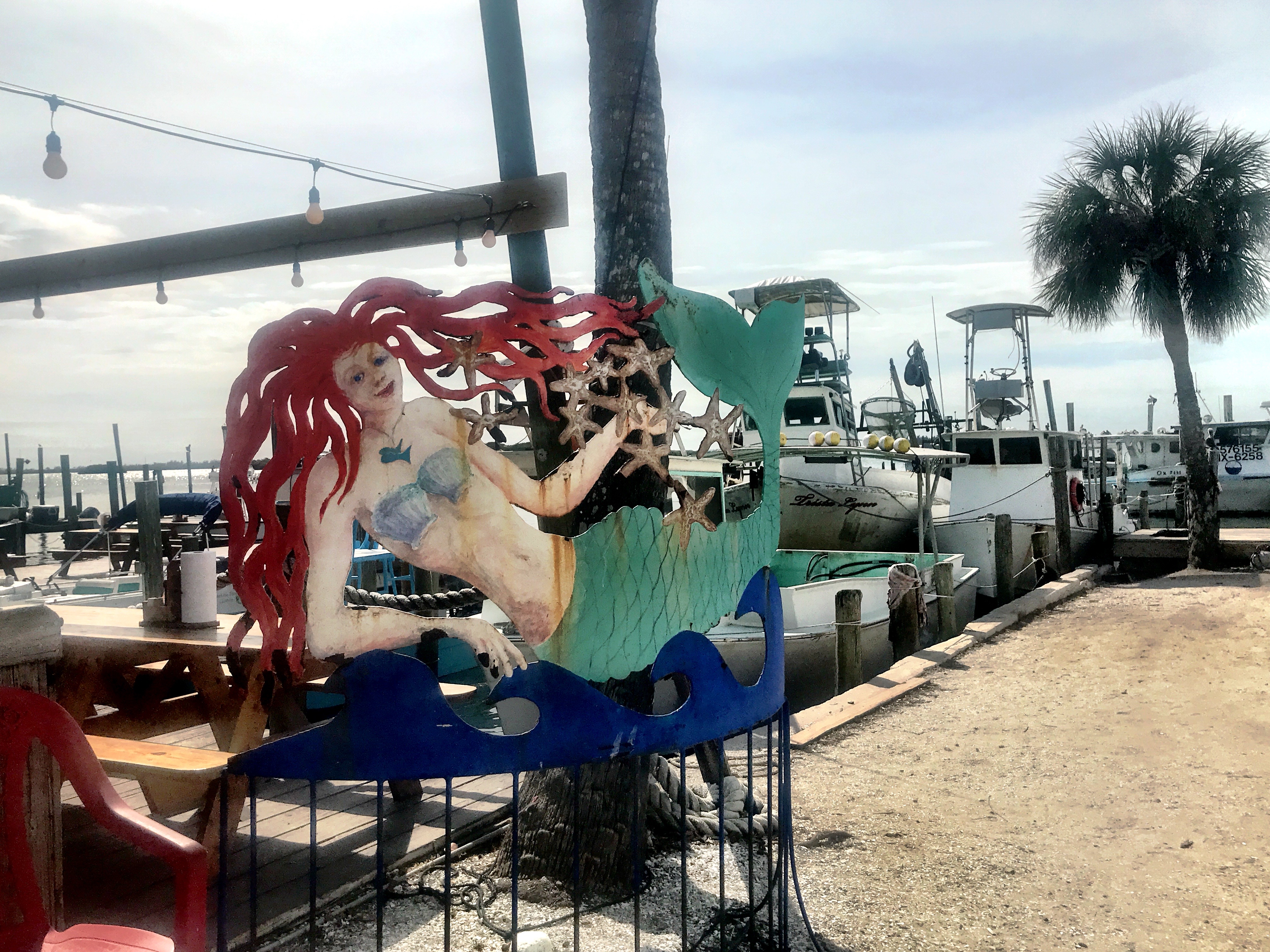
First up: launching in the midst of a marina make-over. Jackhammers pounded our ears as we set up the boat. By late Thursday afternoon, we were anchored near the marina and ready to north towards the Isle of Capri the next morning.


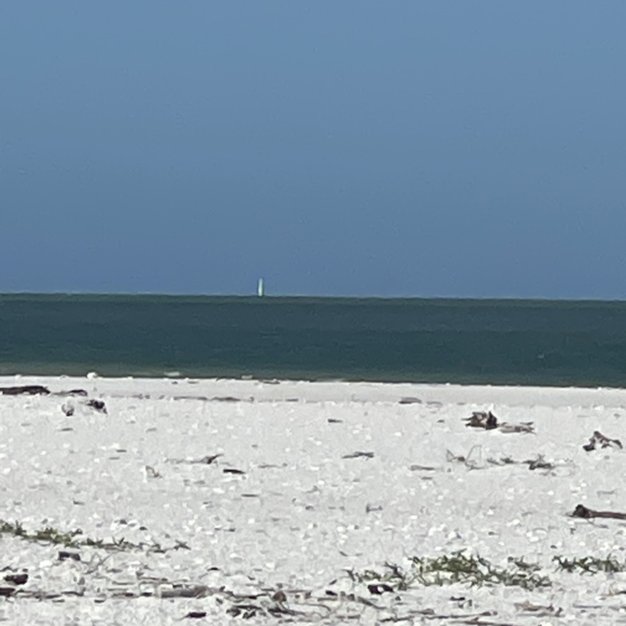
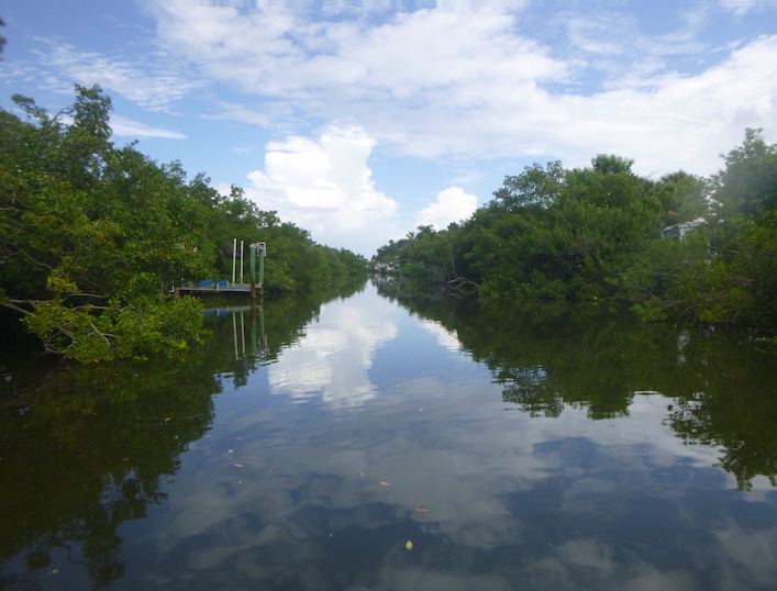
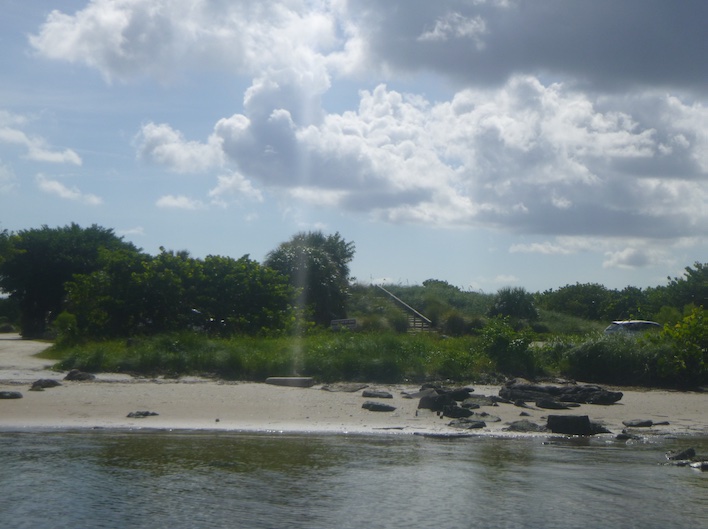
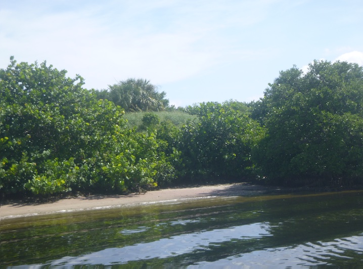
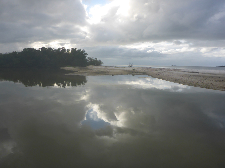
Friday’s goal: a Johnson Bay anchorage. Kevin sailed out Caxambas Pass, along the outside, and back up Big Marco Pass. I paddled up the Marco River past Goodland, though the mangroves near Paddlers Park, and into Johnson Bay. I sat on the beach at the mouth of the pass, watching for Kevin and enjoying the clear water and white sand. I knew the boat wake and shoals would make for a challenging sail up the pass. The tides didn’t favor either of us that day, but we still made it to our anchorage on time.


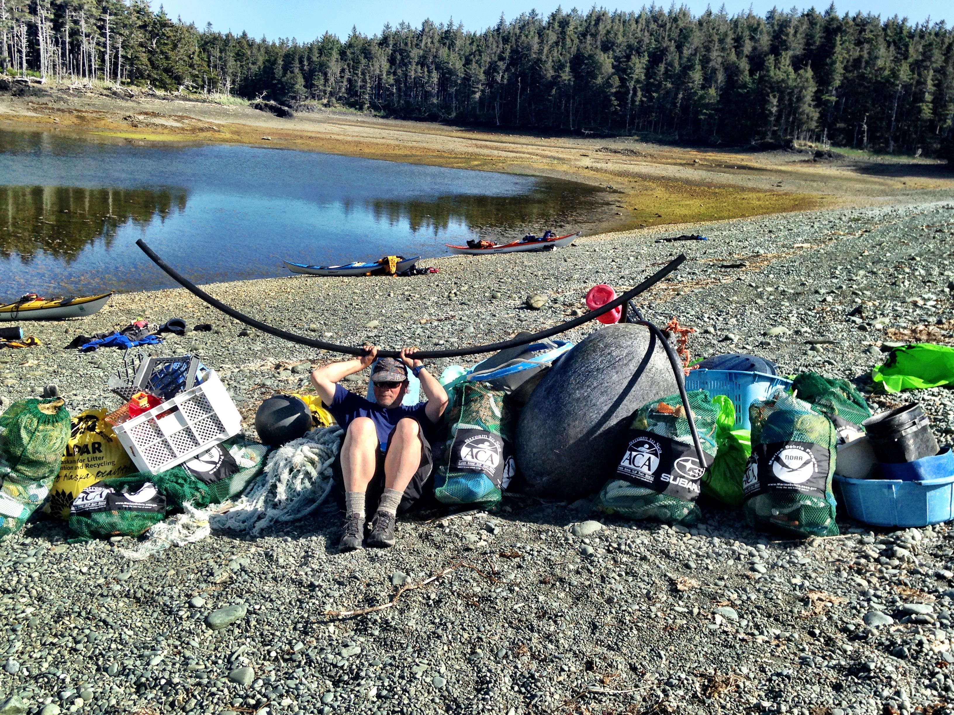
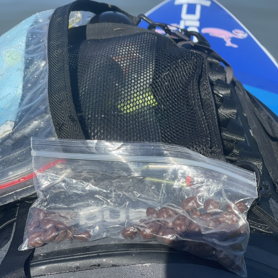
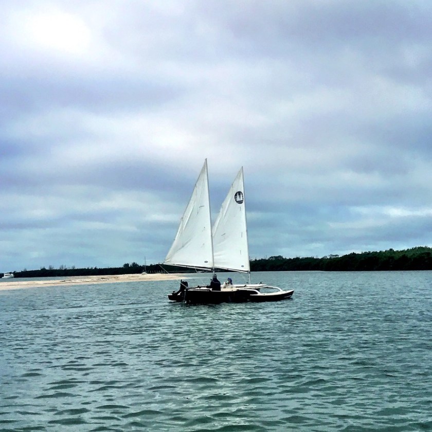
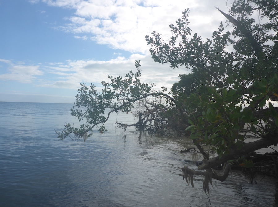
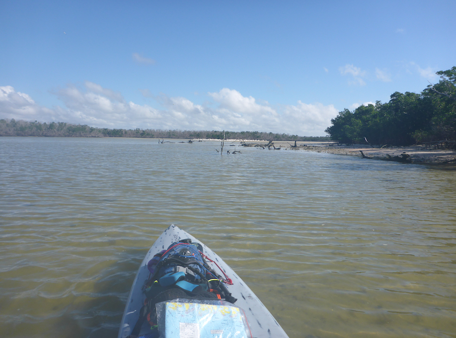
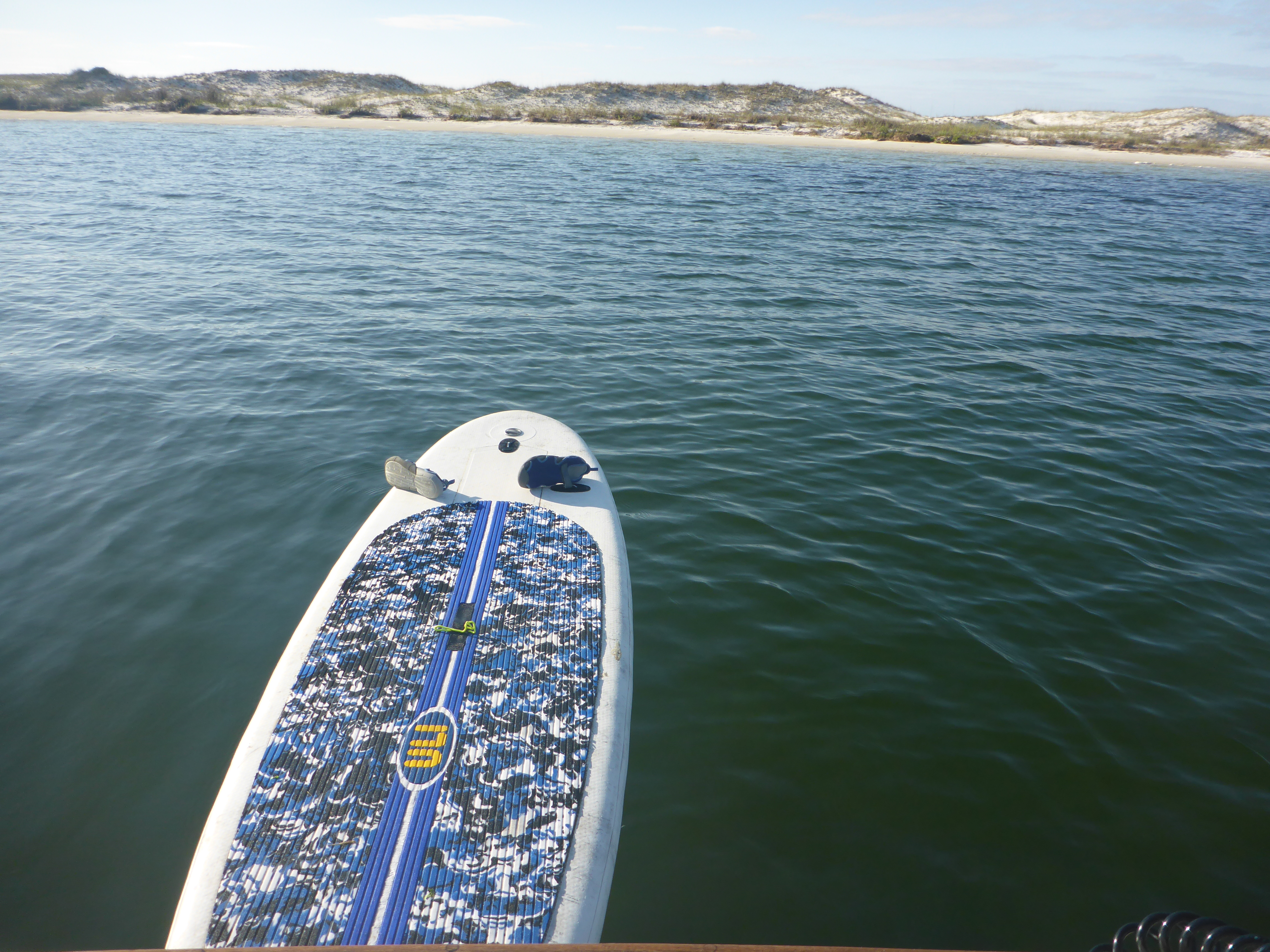
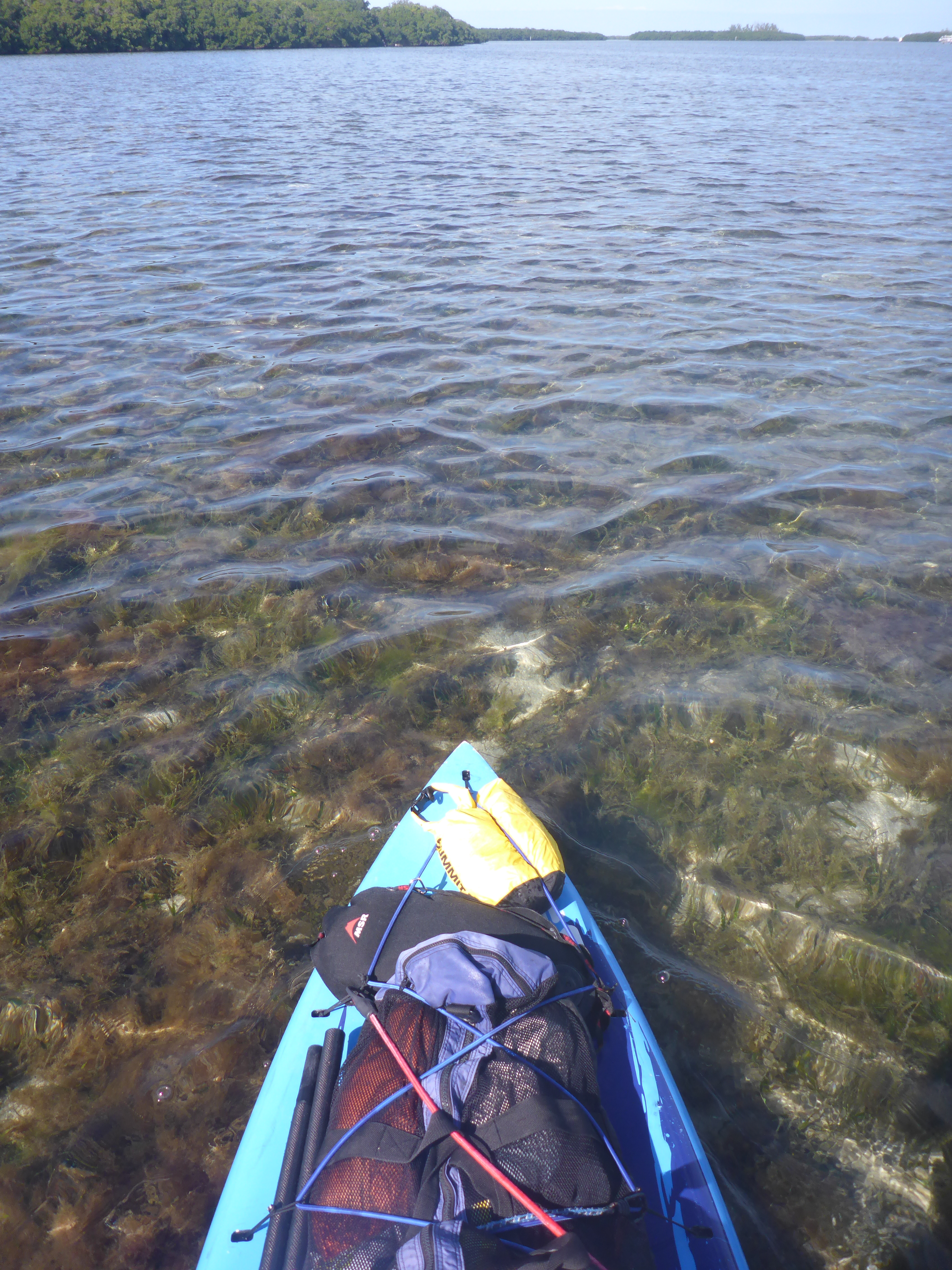
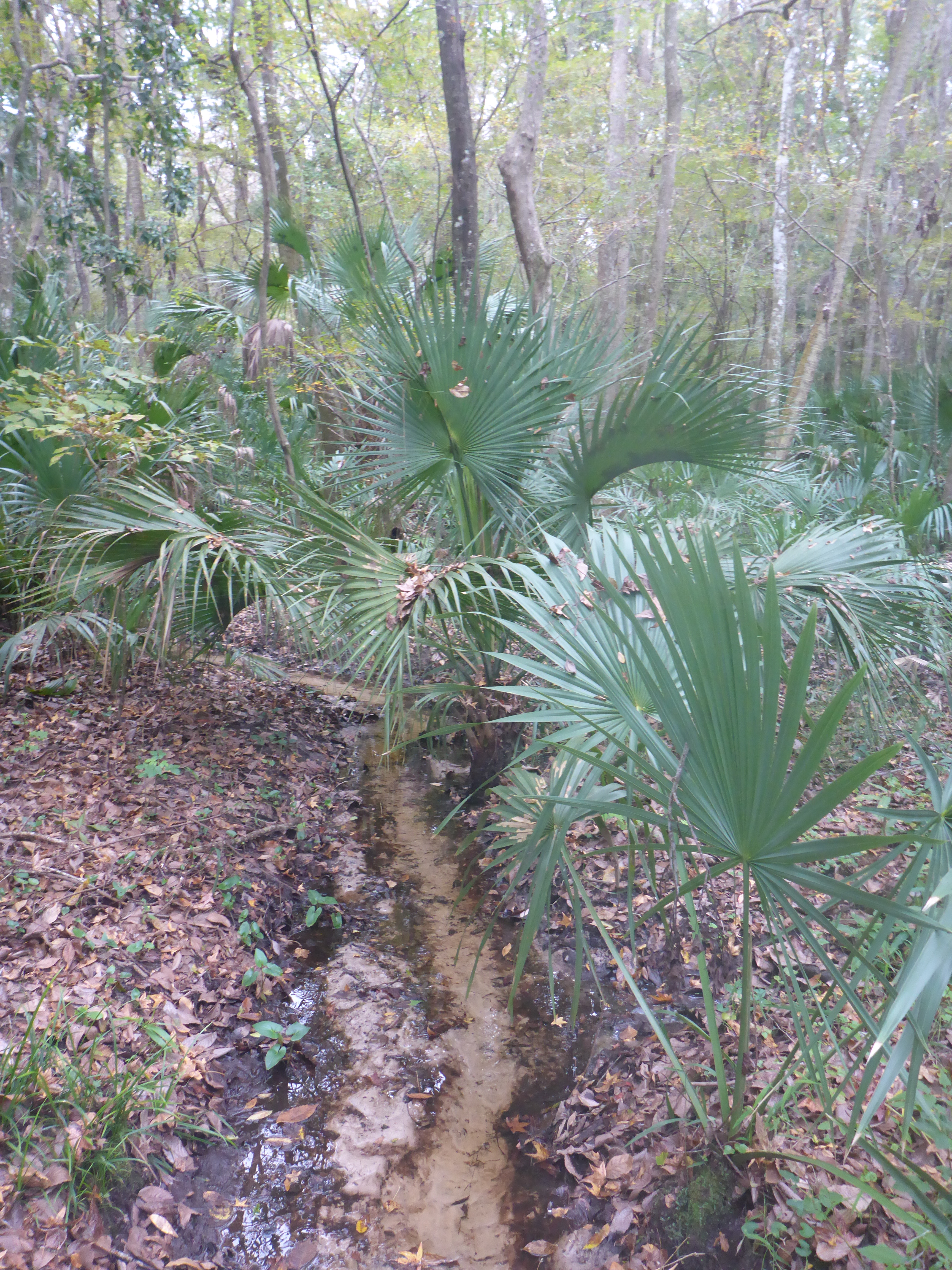
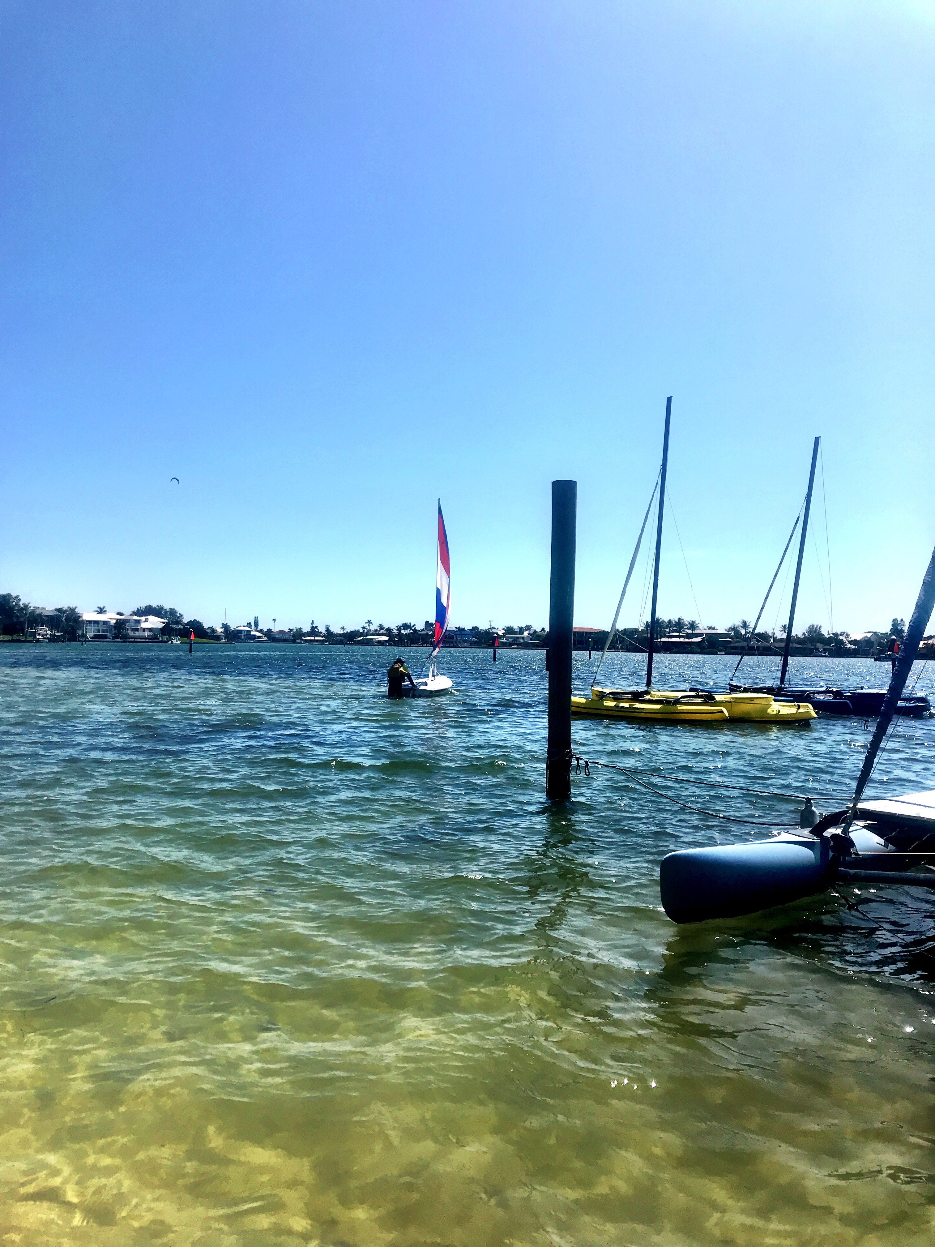
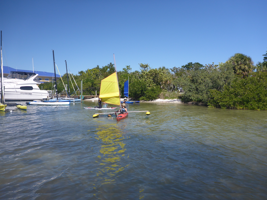
Saturday: exploring nearby bays and the islands near Big Marco Pass. Wind and waves helped us test our gear. Kevin tweaked new reefing and rigging systems, and I worked with wind and boat wake in the mangrove channels. Boat wake in narrow channels is challenging because you get both the original swell and refracting waves. The Atlantis board is a dug-out style, meaning that its higher walls give both secondary stability and keep me closer to the water. Even though this new board is narrower than my other board, it handles conditions well.


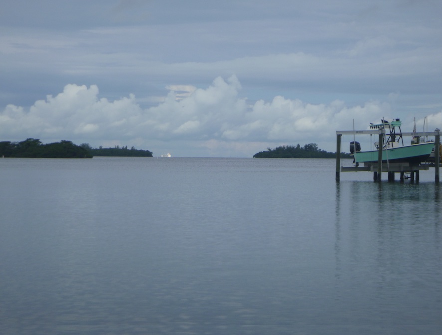
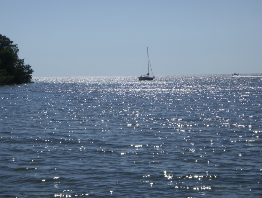
A sporty day en route to Caxambas Pass! The wind dropped, but the waves continued rolling in. We rode the tide out Big Marco Pass, and a welcome tailwind pushed us along the coast of Marco Island towards Caxambas Pass. I had to stay outside the breaking waves or risk getting barrel-rolled in the surf. Not fun with a loaded board. Kevin sailed around the outside, while I explored bays and islands around Caxambas Pass and Dickman Point.

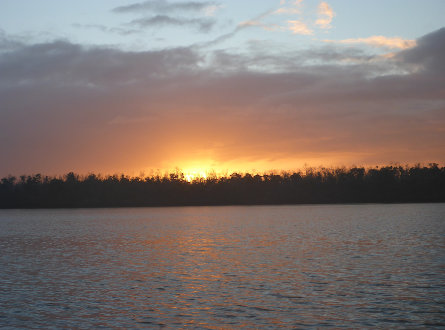
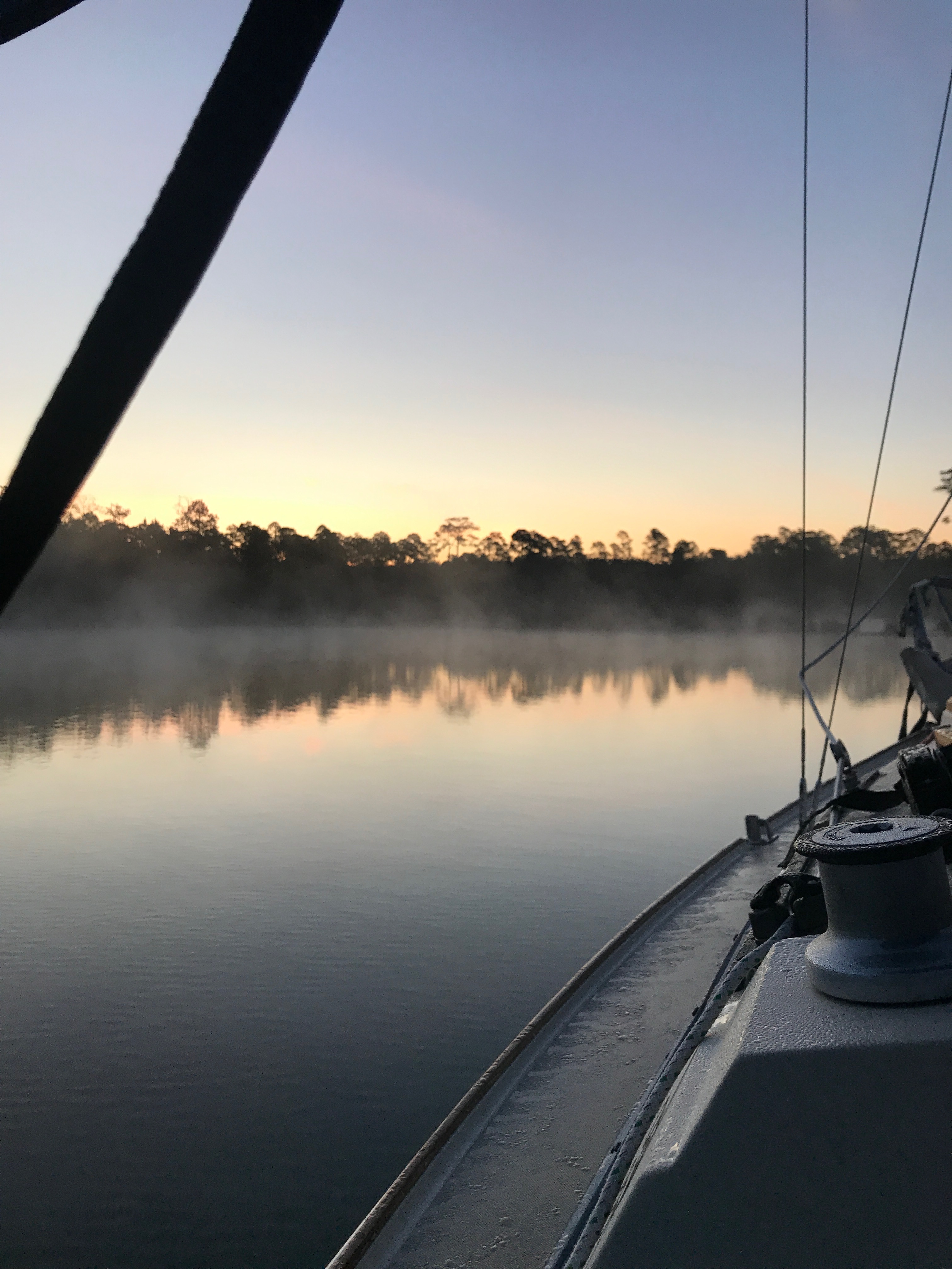
We anchored in Caxambas Pass that night. hoping for protection from a north wind. The wind never rose as expected, but the strength of the current in Caxambas Pass surprised us. Tying off the board to the boat was difficult as I held a rope in one hand while tying off with the other. Failure was not an option.

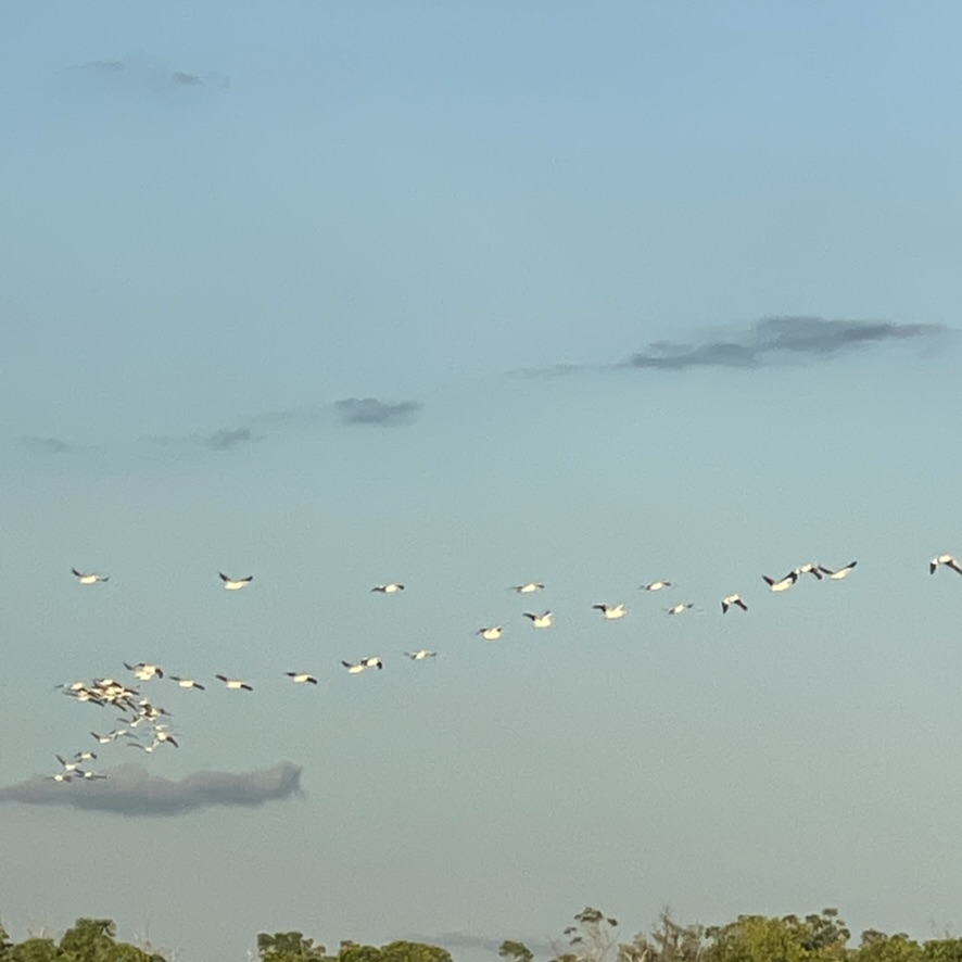
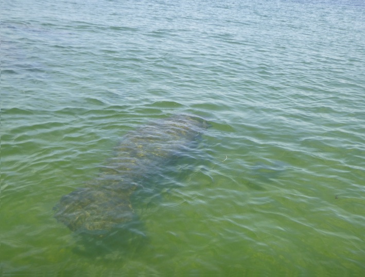
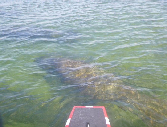
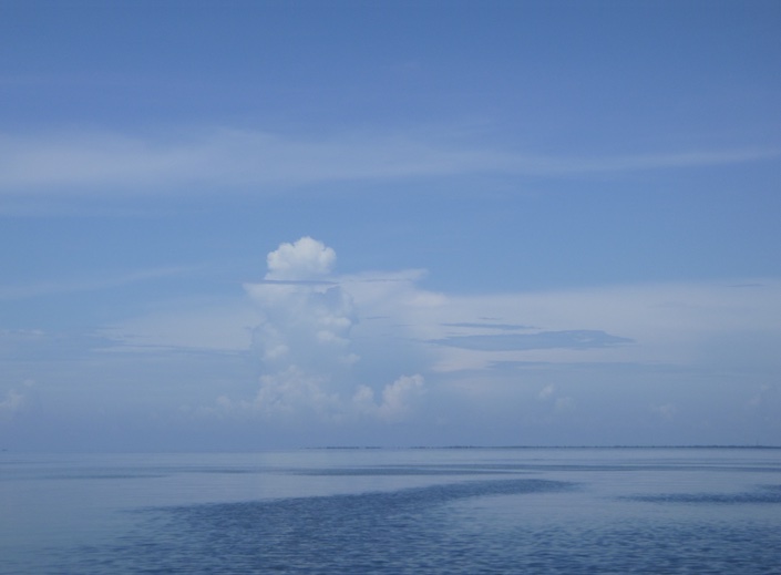
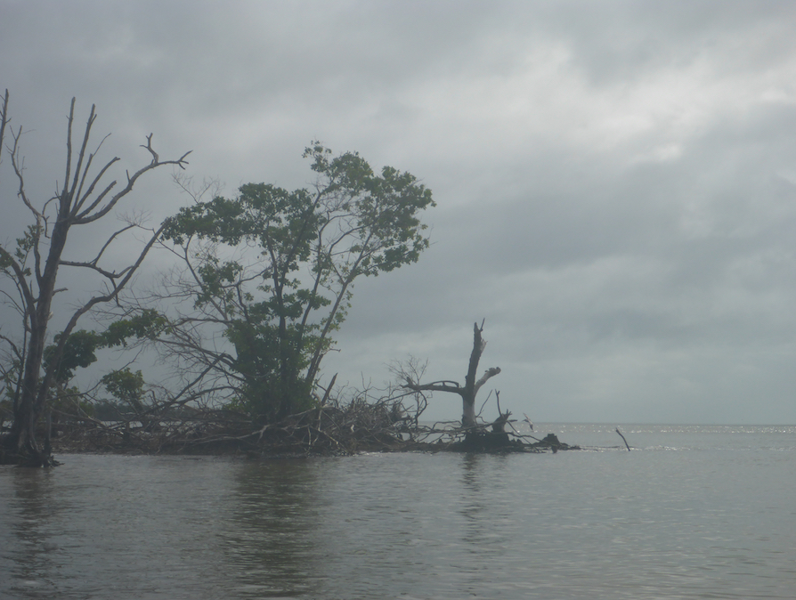
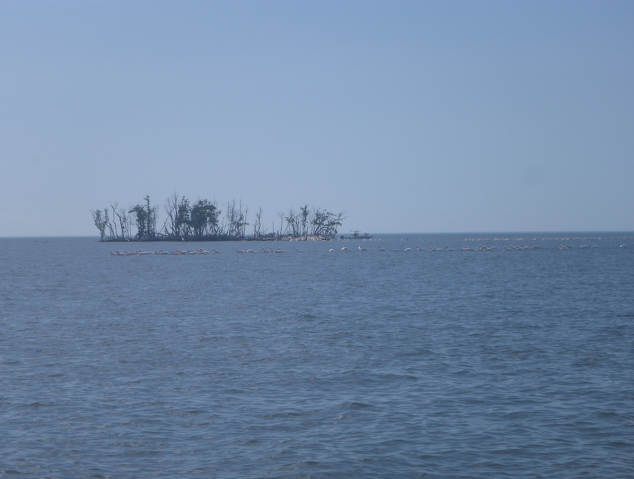
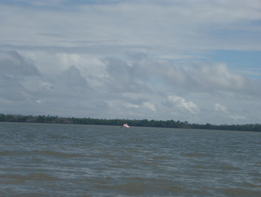
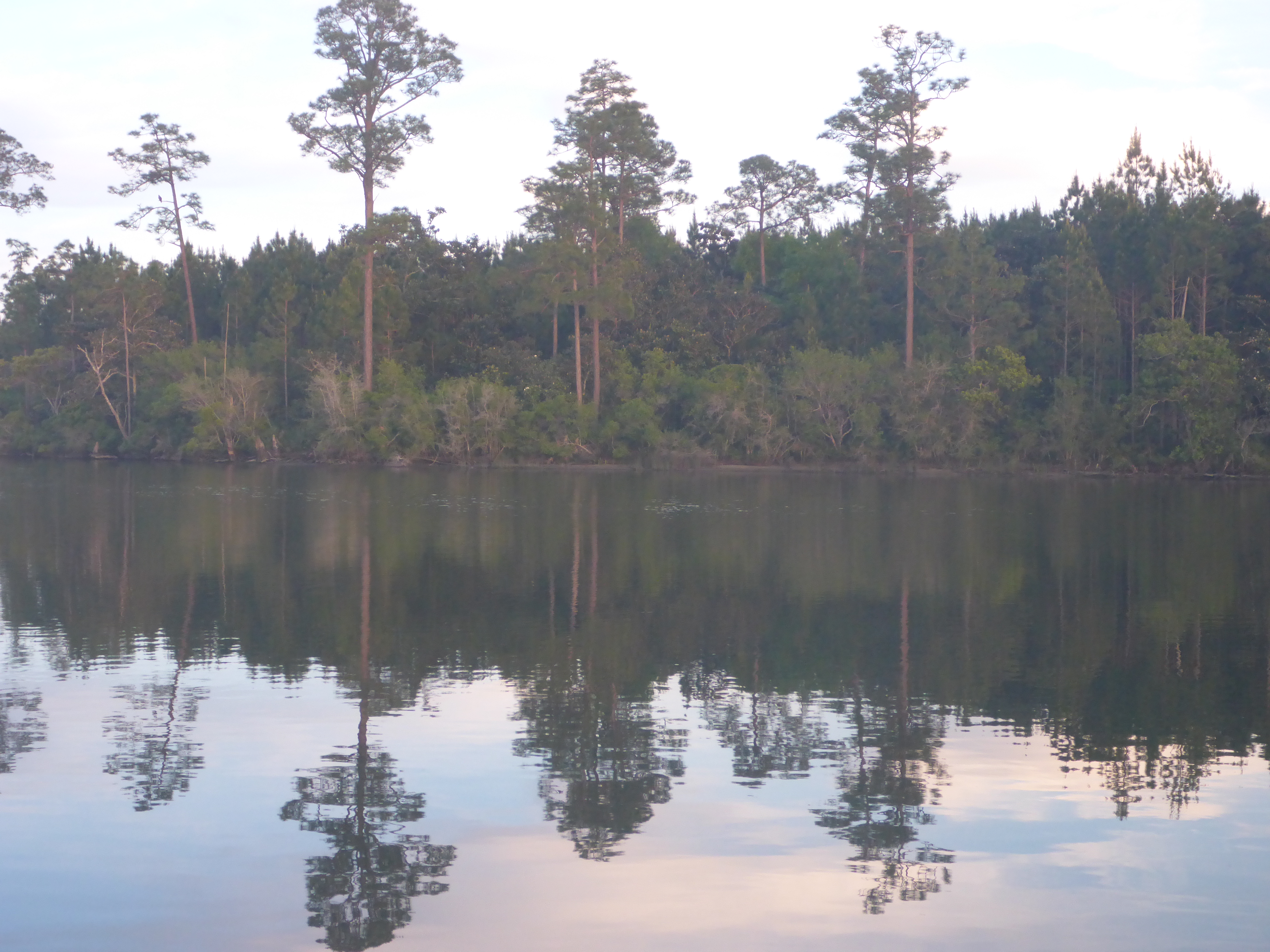
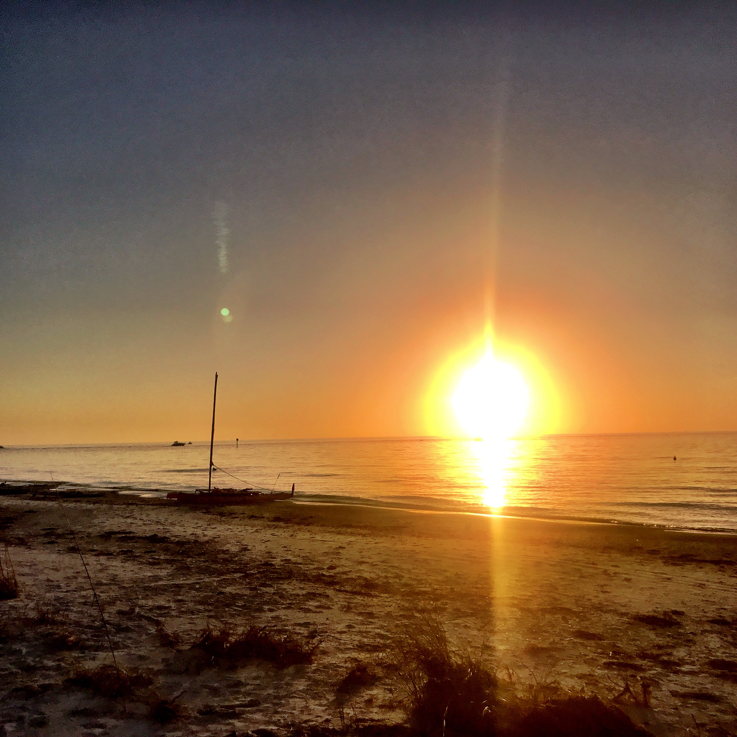
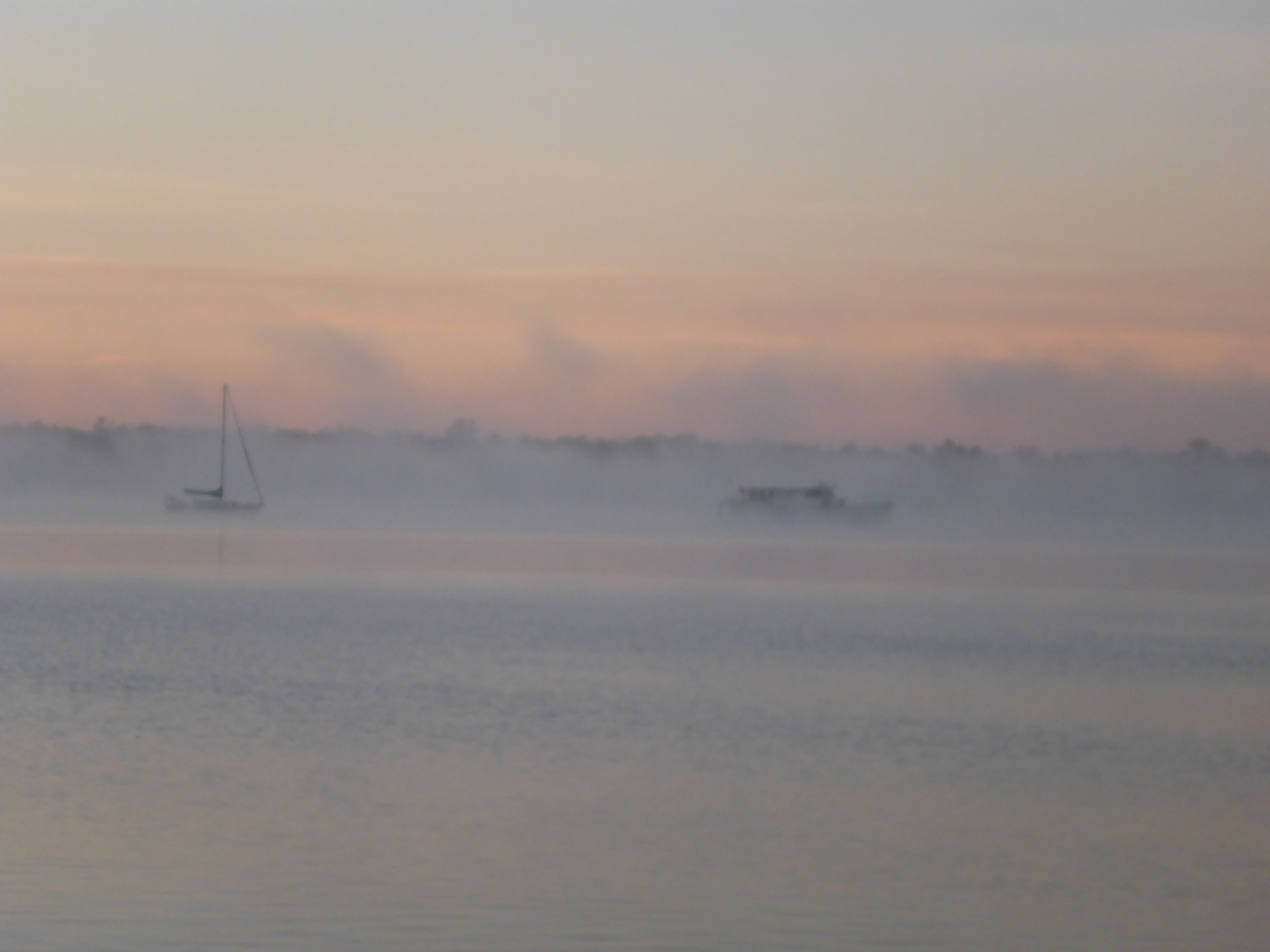
Sunday — a glorious day for me with clear skies and no wind. For sailors, not so much. I saw birds along the Morgan River, relaxed on Cape Romano, and watched sea life below as I crossed the sand flats in Gullivan Bay. Meanwhile, Kevin dozed while KneeDeep heaved to and drifted slowly.


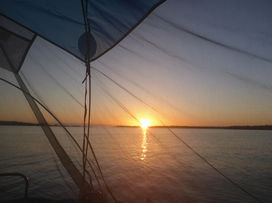
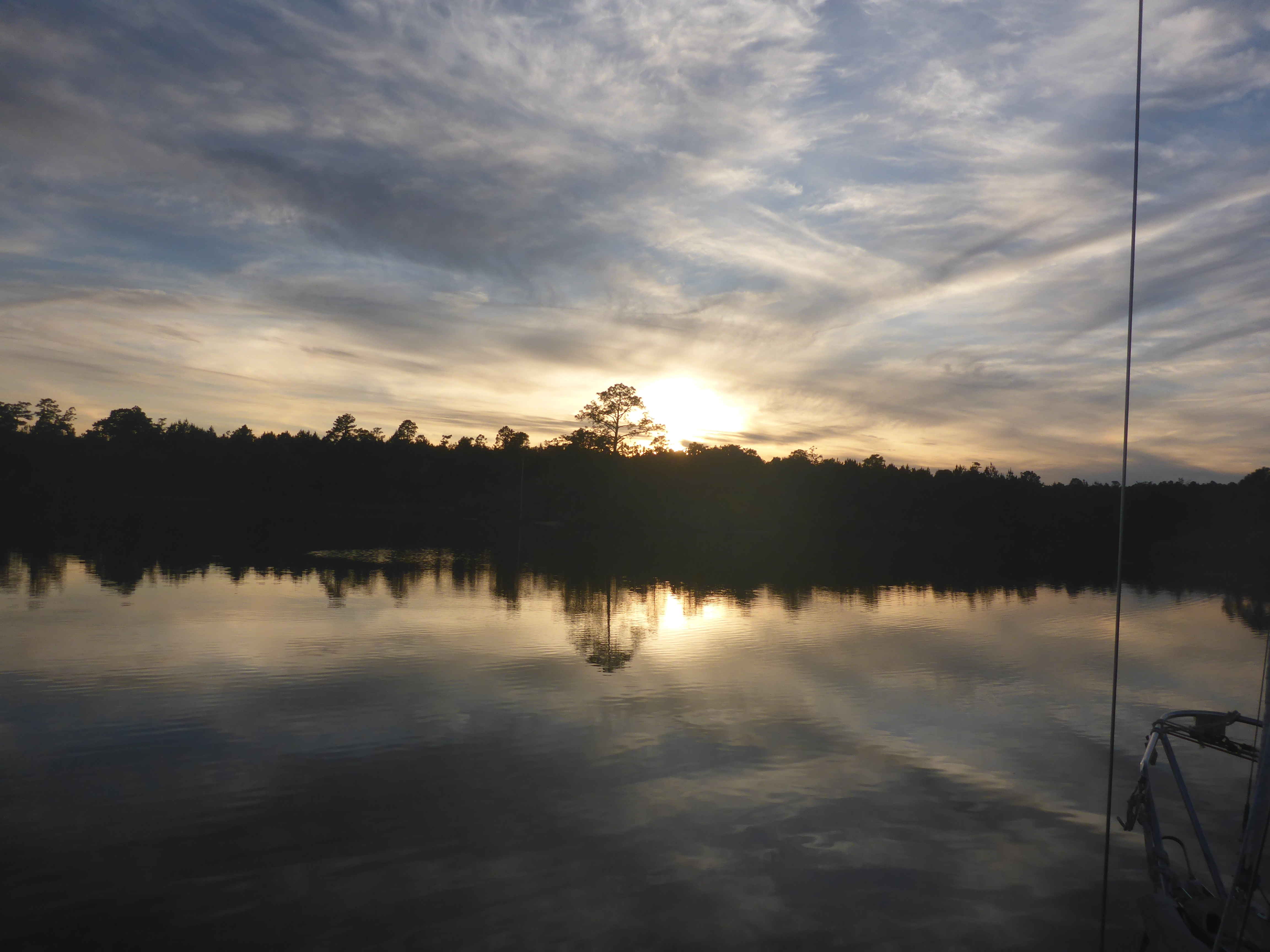
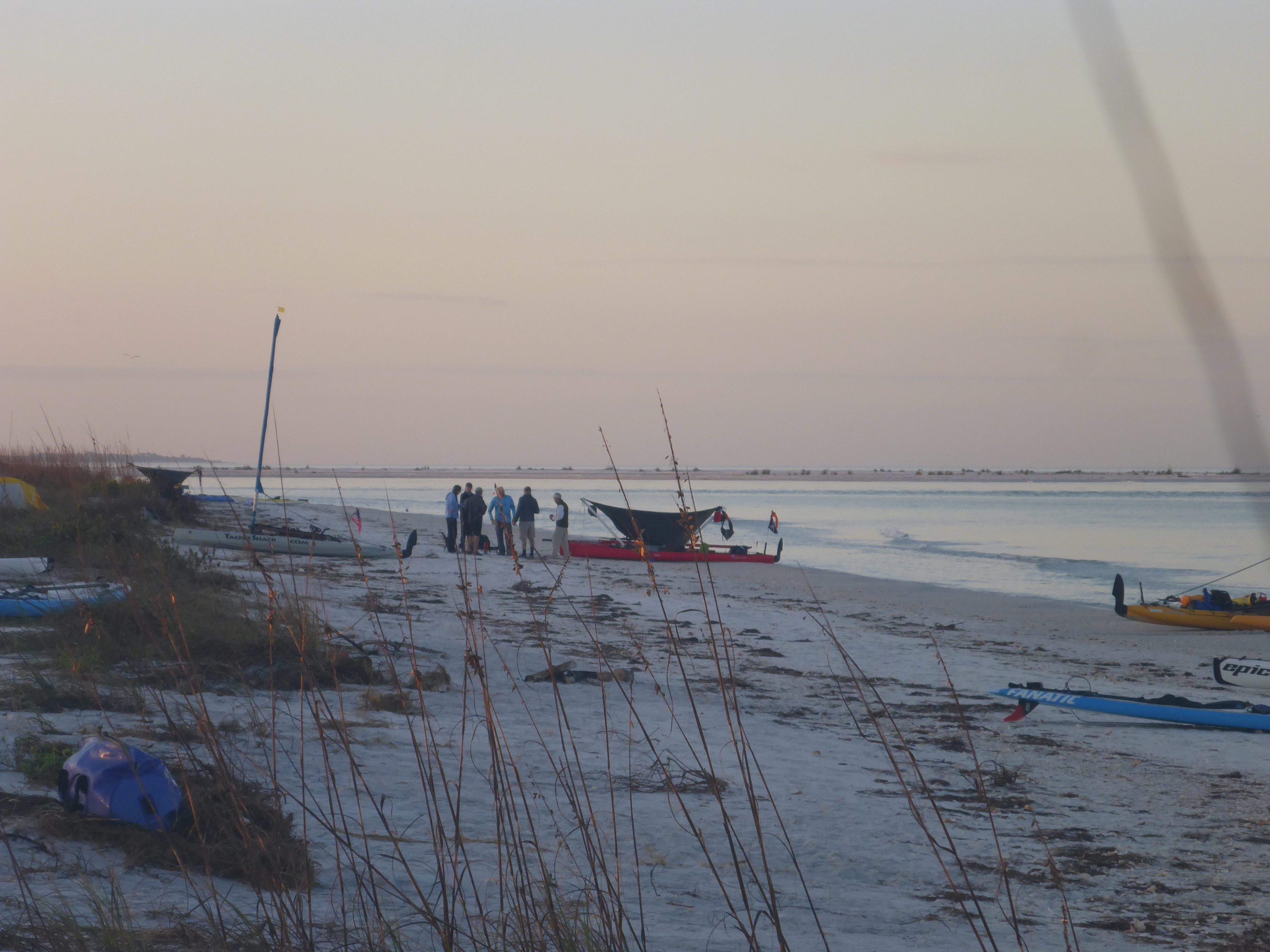
We met later that afternoon near Tripod Key, a short distance from our take-out in Goodland. Even then, as predicted, the weather was changing, and we wanted an easy exit. As I was paddling up Coon Key Pass, I chatted briefly with a paddler headed out for the night. It turned out to be Kayak Flexafari, a paddler whom I followed but had not yet met in person. Small world and great to meet in person.
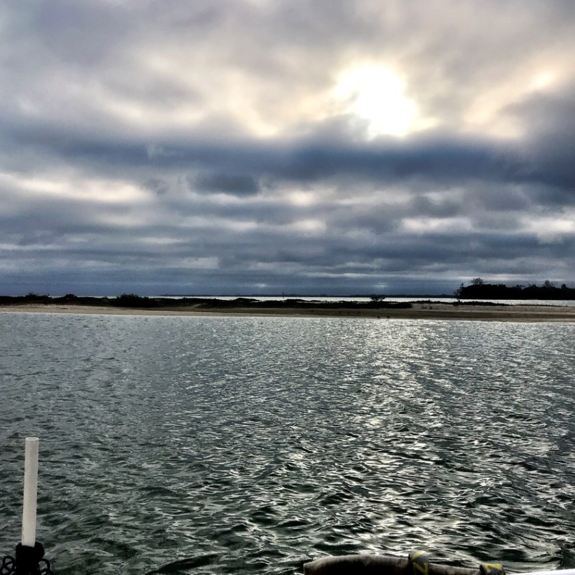
As predicted, the wind came up the next morning. Fun enough for a sporty sail and paddle in the morning, but seriously gusty by the afternoon. Taking out the sailboat was the biggest challenge of the trip. Overall, we lucked out with our weather window. Enough conditions to make things interesting, but no white knuckles. And we almost followed our Plan A. Usually we’re down to Plan G by the time the trip is over.
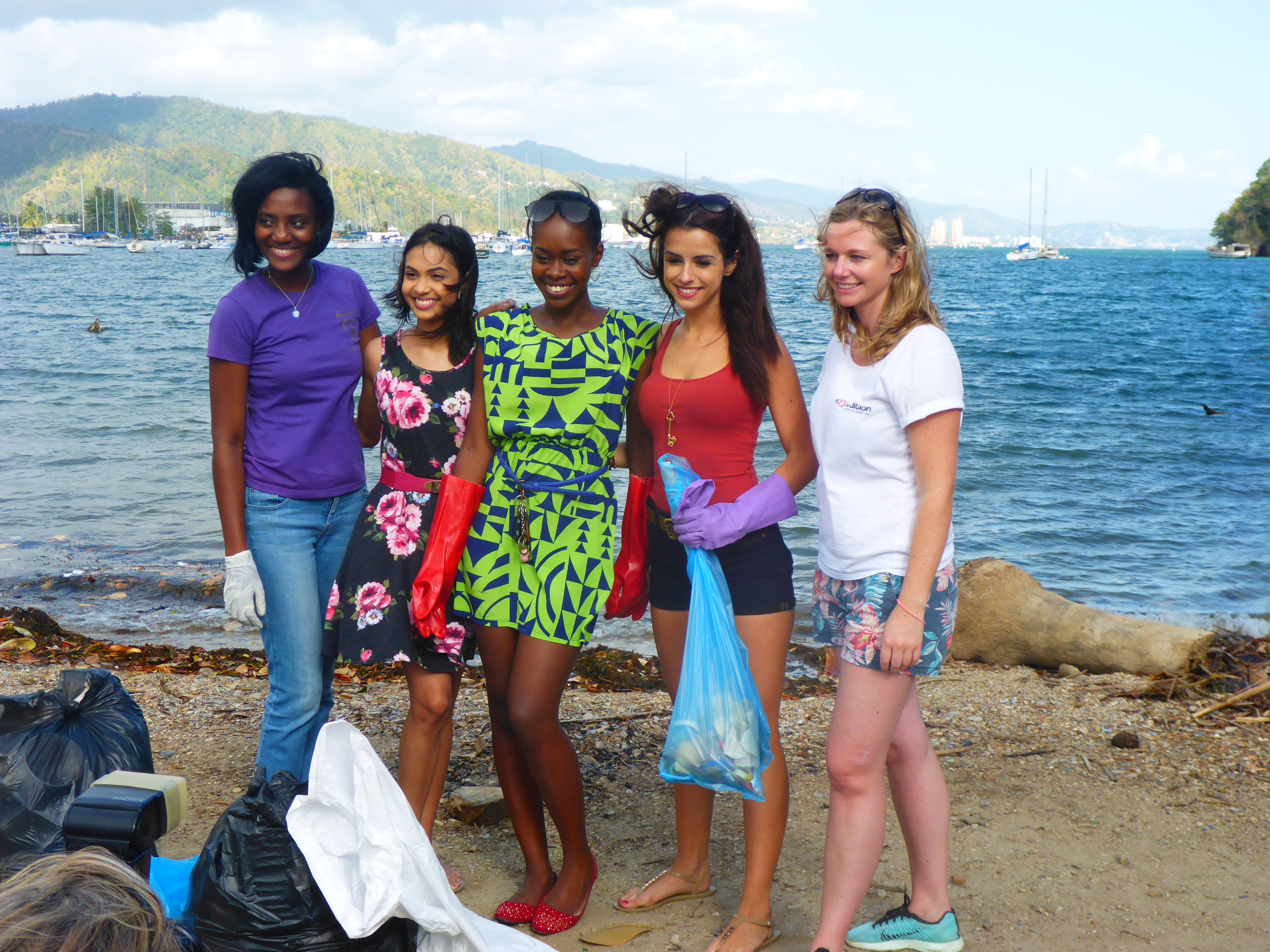
The Ten Thousand Islands, Rookery Bay, and Everglades region is one of my favorite places in Florida. White sand beaches and spectacular sea and bird life. With all the islands, rivers, and channels, I always find something new to explore. On this SUP and sail trip, Kevin and I had the luxury of our floating tent. But Rookery Bay and the Ten Thousand Islands offers plenty of white sand beach camping opportunities, sites I have used on previous trips. I’m looking forward to our next trip back in January.


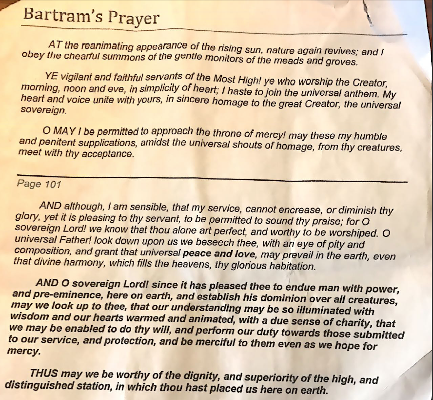
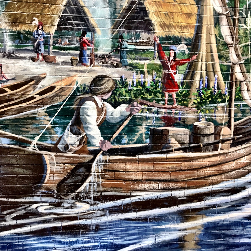
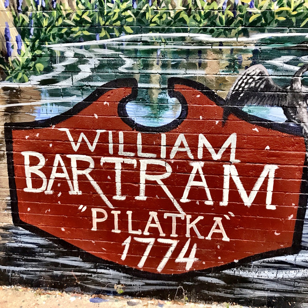
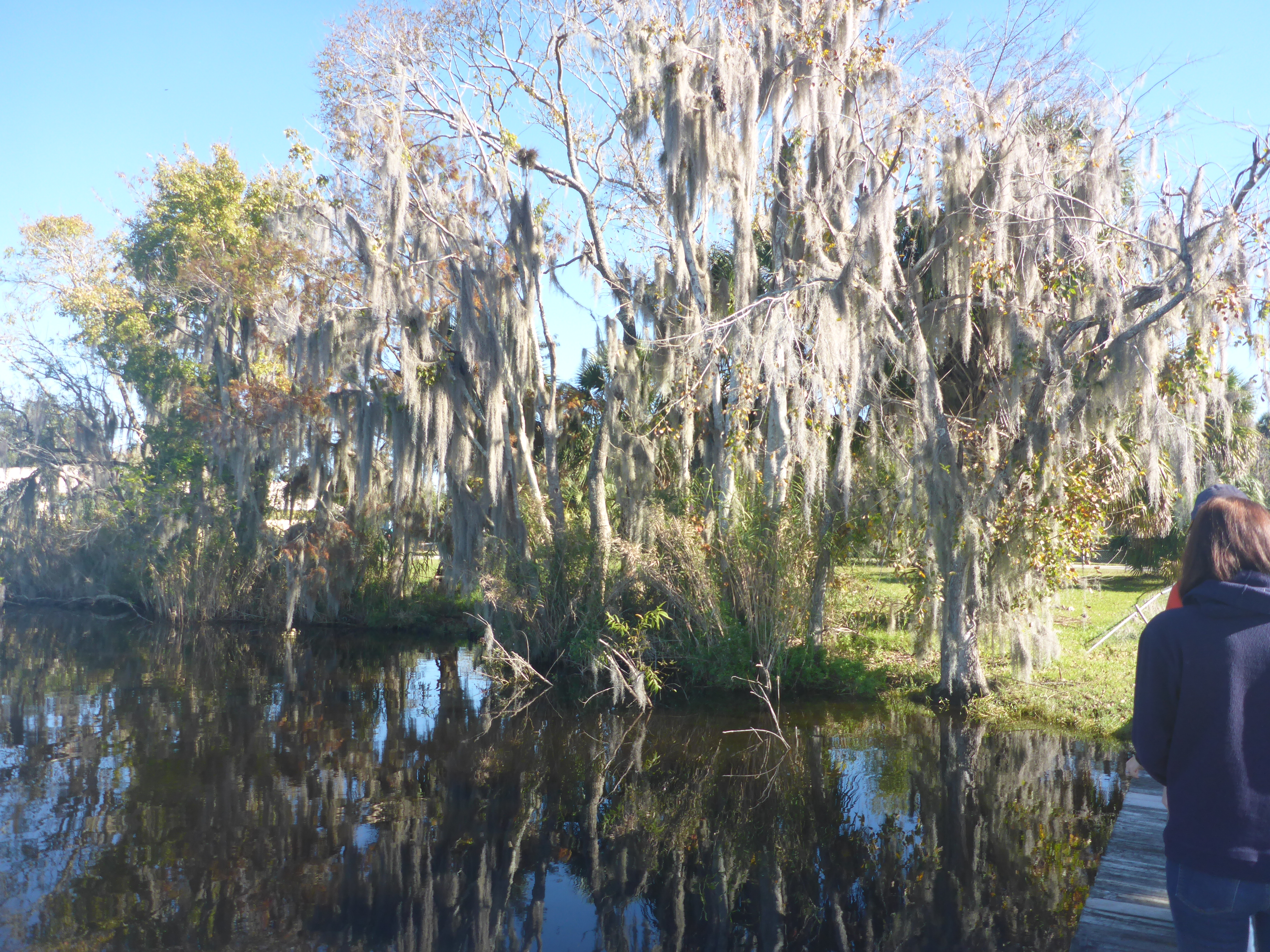 Sam claims that Bartram was the “original hippie”—embracing peace, love, and care for all beings, including other people. In Bartram’s description of nearby Six Mile Run (a.k.a. Salt Springs Run), he writes
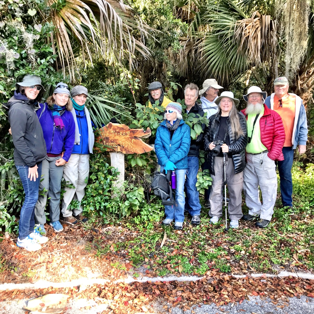


 This trip illustrated some realities of scientific data collection and helped me reflect on my own research methods, which have been primarily ethnographic. By training, I am an historian of religion, and I study both texts and people. I have done ethnographic research, for example, interviews and participation-observation in different communities. To collect data for my projects, I have