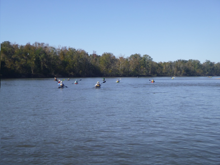
Team Rivertrek 2021. 16 paddlers, 106 miles, and an abundance of love for the Apalachicola River. Over 5 days, from the Woodruff Dam in Chattahoochee to Apalachicola Bay, our team bonded with the river and with each other. When I dismounted my paddleboard in Apalachicola, I did so with a much deeper appreciation for the river and the ecosystems it crosses.


I joined Apalachicola Rivertrek to learn about the river and to raise funds for the Apalachicola Riverkeeper. The Apalachicola Riverkeeper monitors water quality, coordinates volunteers, and mounts legal challenges to preserve the river and its environs. In addition to its beauty, the Apalachicola River and Bay is considered one of five biological hotspots in North America. In 2021, I paddled the first two days of Rivertrek, and I knew then that I wanted to join the team in 2021. Paddling the length of the river over 5 days was—literally—an immersive experience in the river’s moods from dam to bay.


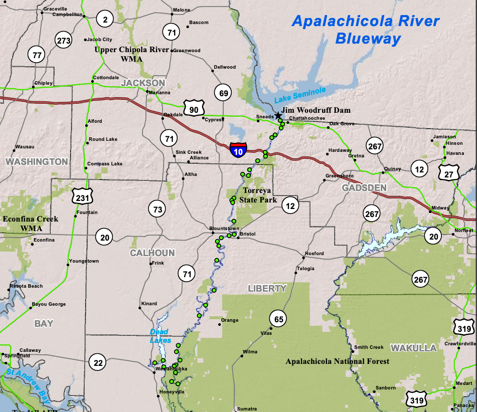
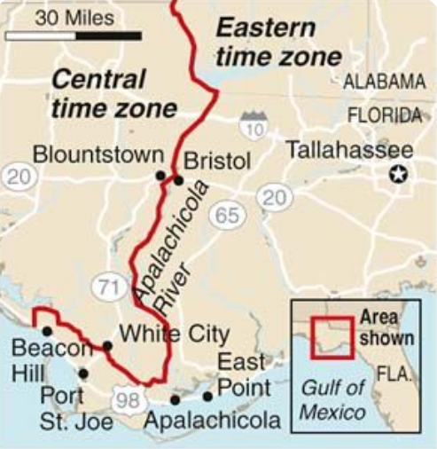
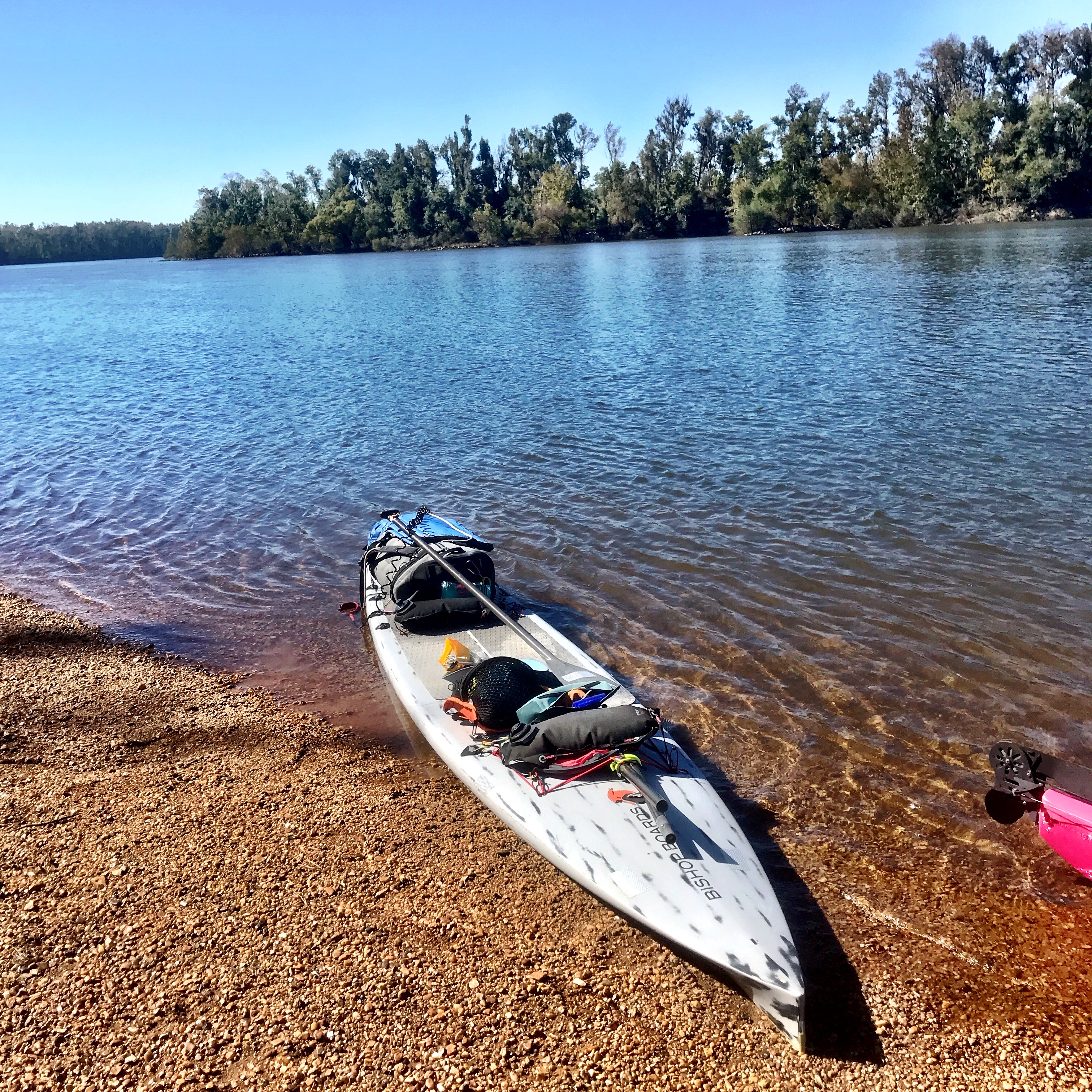
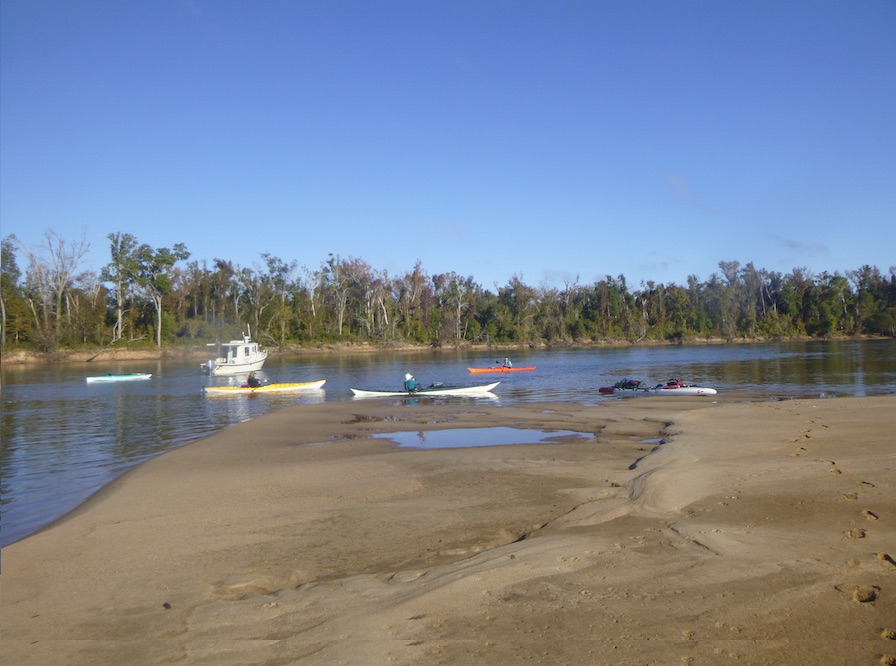
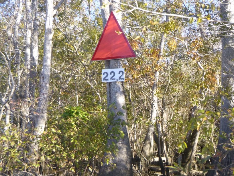
Our journey began in the town of Chattahoochee, just south of the Florida-Georgia line, where Georgia’s Chattahoochee River becomes Florida’s Apalachicola River. The Chattahoochee River starts in north Georgia, flows through metro Atlanta, and continues south as the Georgia-Alabama border until it reaches Lake Seminole and the Jim Woodruff Dam. Once in Florida, the Apalachicola River streams into Apalachicola Bay and then the Gulf of Mexico. Each day we paddled approximately 21 miles miles, about 4-5 hours on the swift-moving Apalachicola River.
Day 1: Chattahoochee to Sandbar just above Alum Bluff
Day 2: Sandbar to Estiffanulga
Day 3: Estiffanulga to Sandbar just above Gaskin Park
Day 4: Sandbar to Hickory Landing Campground
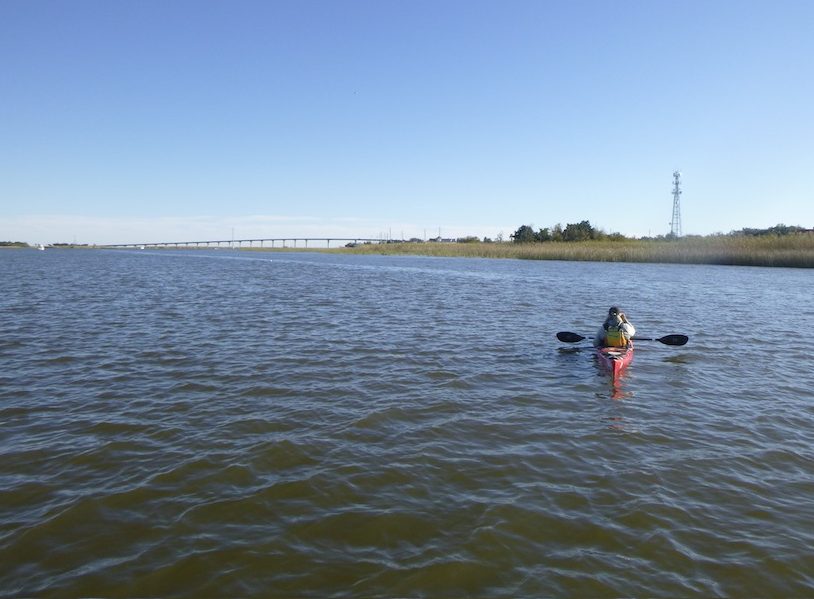
Day 5: Hickory Campground to Apalachicola

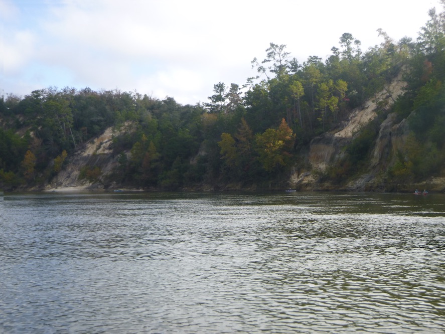
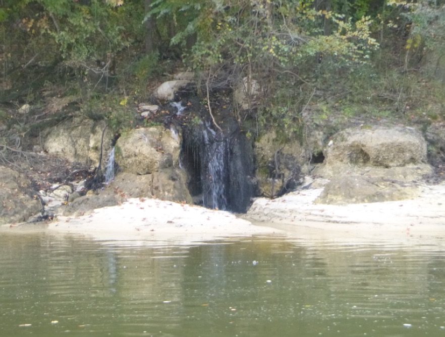
Florida has hills! The first two days revealed things not typically associated with Florida: hills and fall colors. After 6 miles, we passed Torreya State Park, a Florida backpacking destination, and looked up at Gregory House, an 1849 mansion, later moved to the park. We camped on a sandbar that night just upstream from Alum Bluff, a 135 foot geological anomaly in Florida. Erosion over millenia exposed a section of the earth’s crust, including fossils. We continued past more bluffs and a waterfall until we reached Bristol Landing, a small park with a much-anticipated flush toilet.


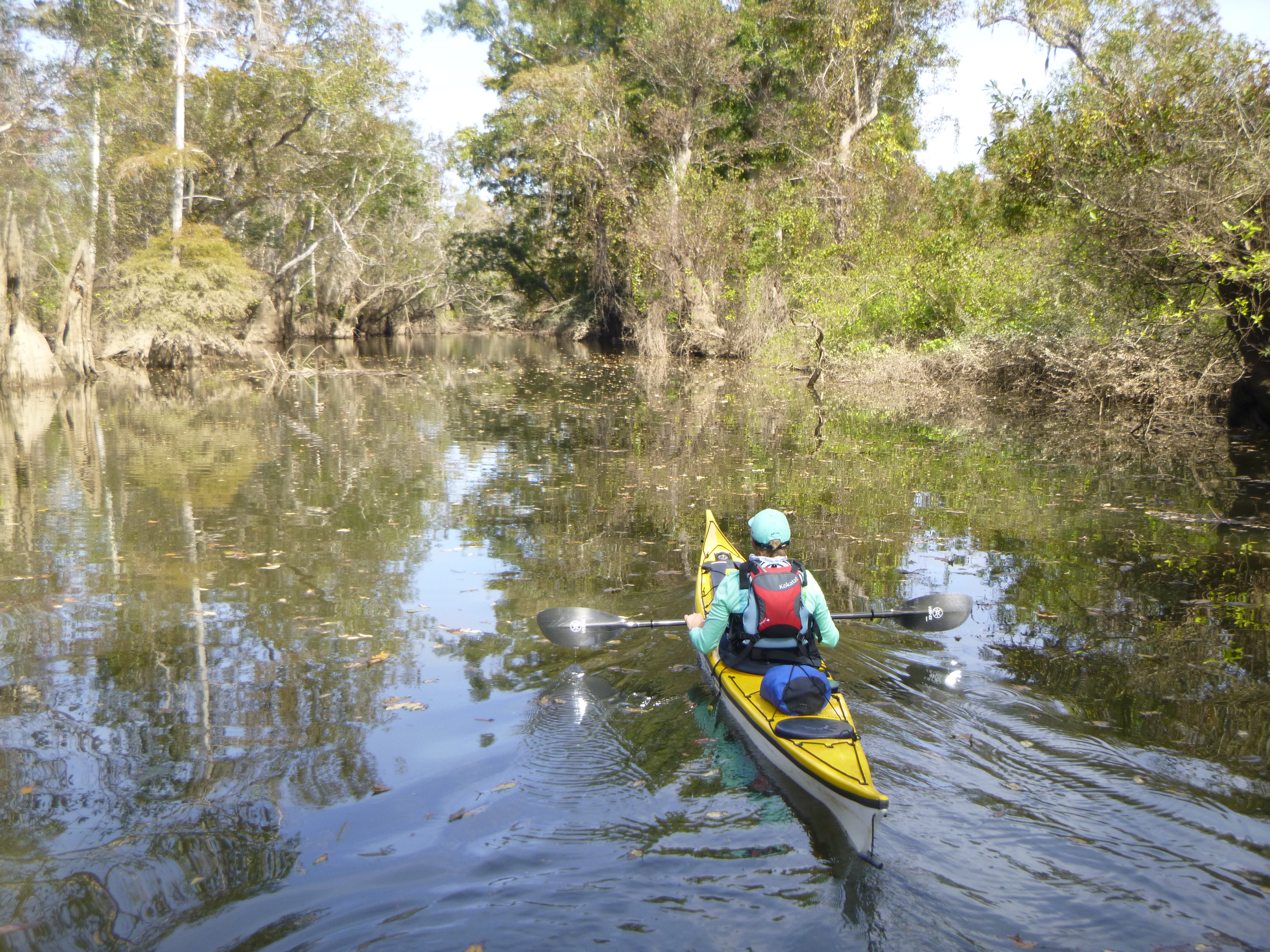
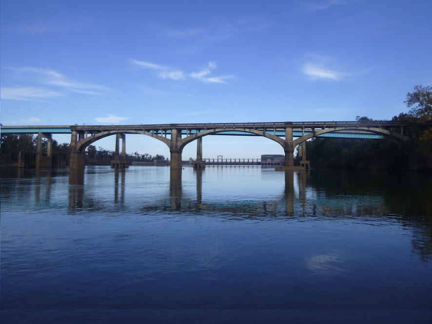
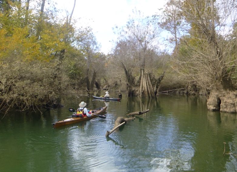
Just downstream, we passed under the Highway 20 bridge, the last bridge over the Apalachicola River until the bay. Soon after, we made a quick detour into Sutton Lake and Bayou to see the tupelo and cypress trees. Unfortunately, deadfall prevented us from paddling too far up into the bayou, but even our short visit let us peek into this swamp ecosystem.

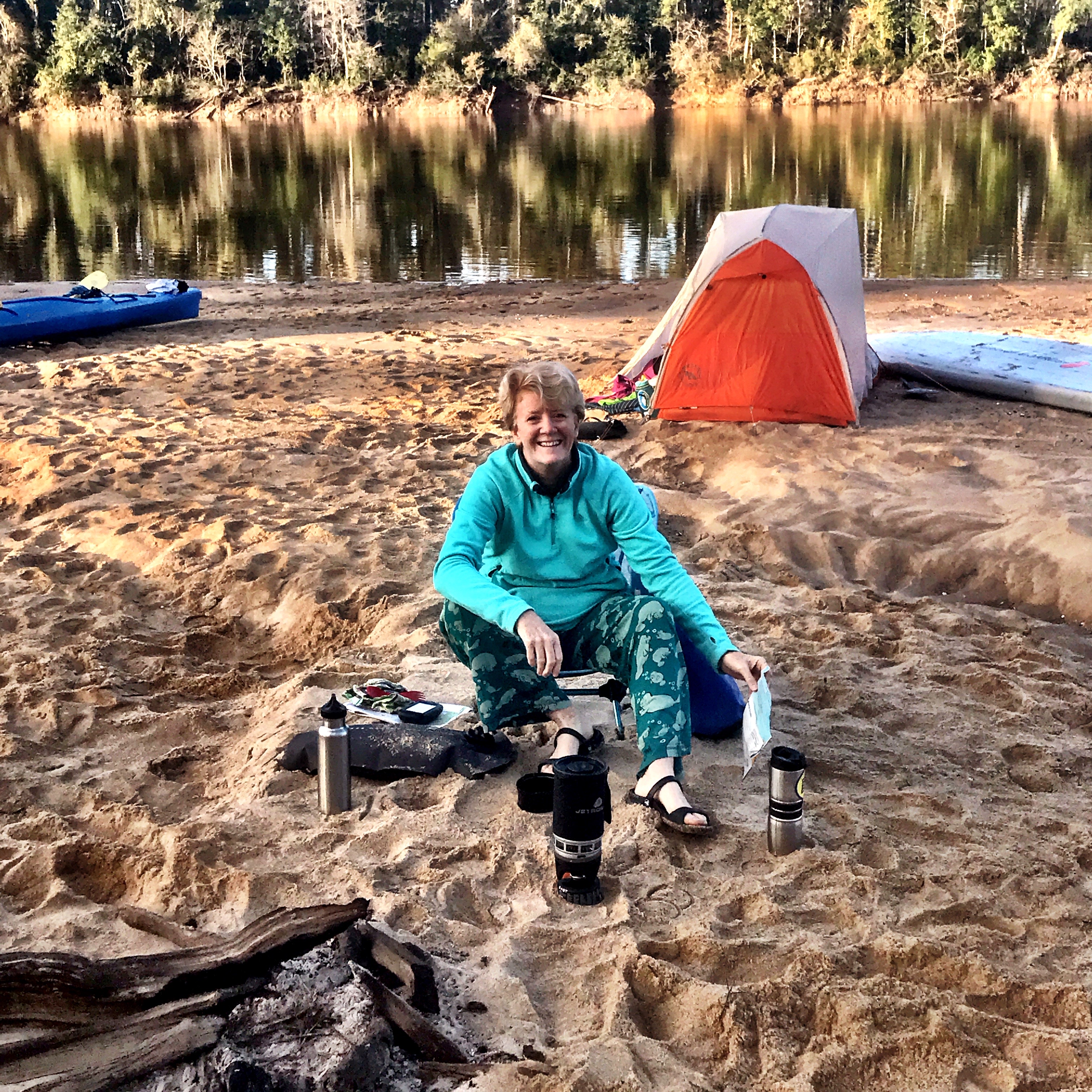
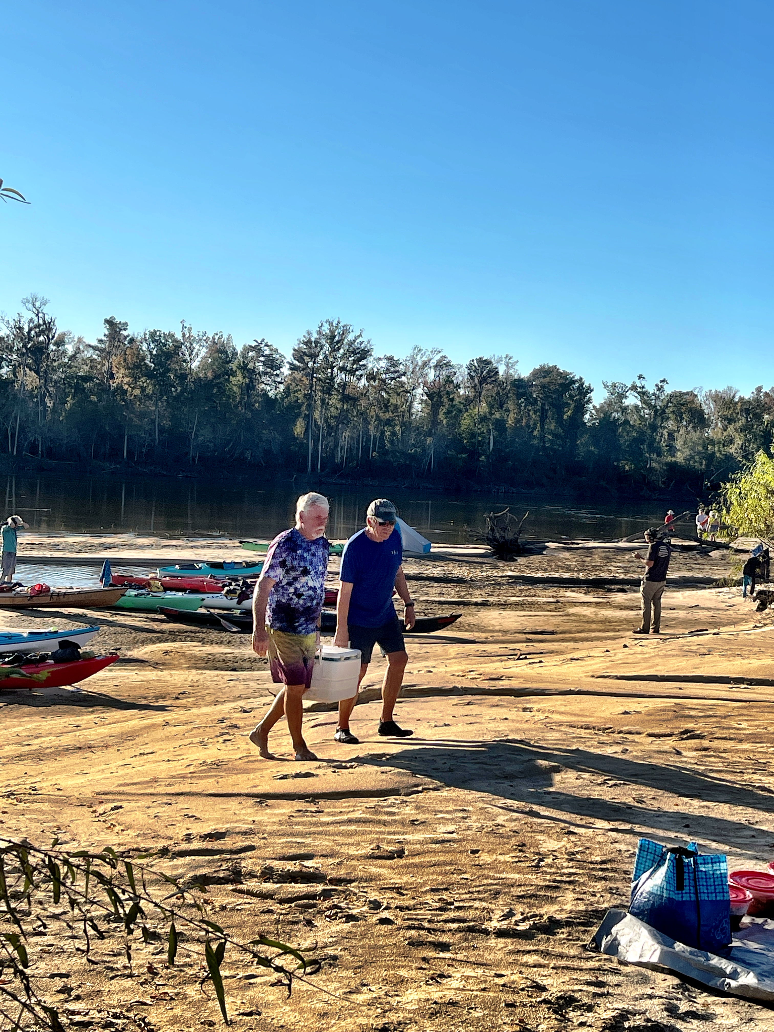
Later that afternoon, we reached Estiffanulga County Park where we camped in a small park. That night Riverkeeper volunteers treated us to a paella dinner, and we realized that noone would lose weight on this trip between these dinners and an endless supply of cookies. Later FWC gave a hands-on talk about reptiles, and we all got to handle snakes.
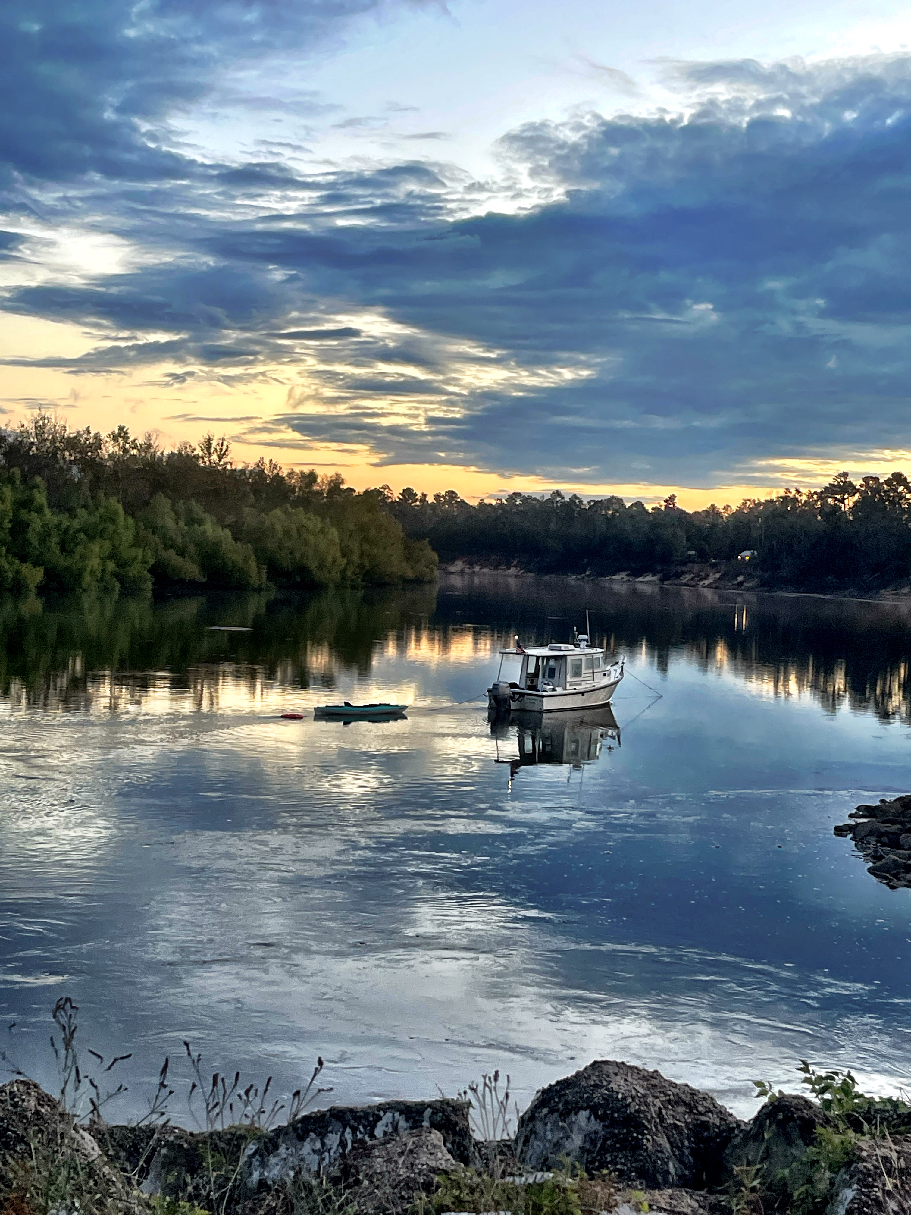


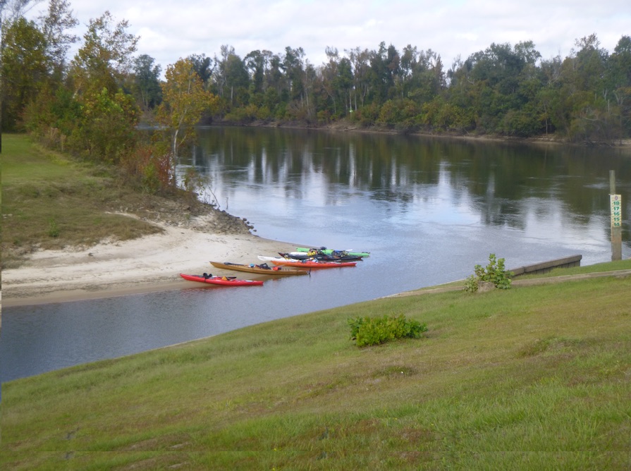
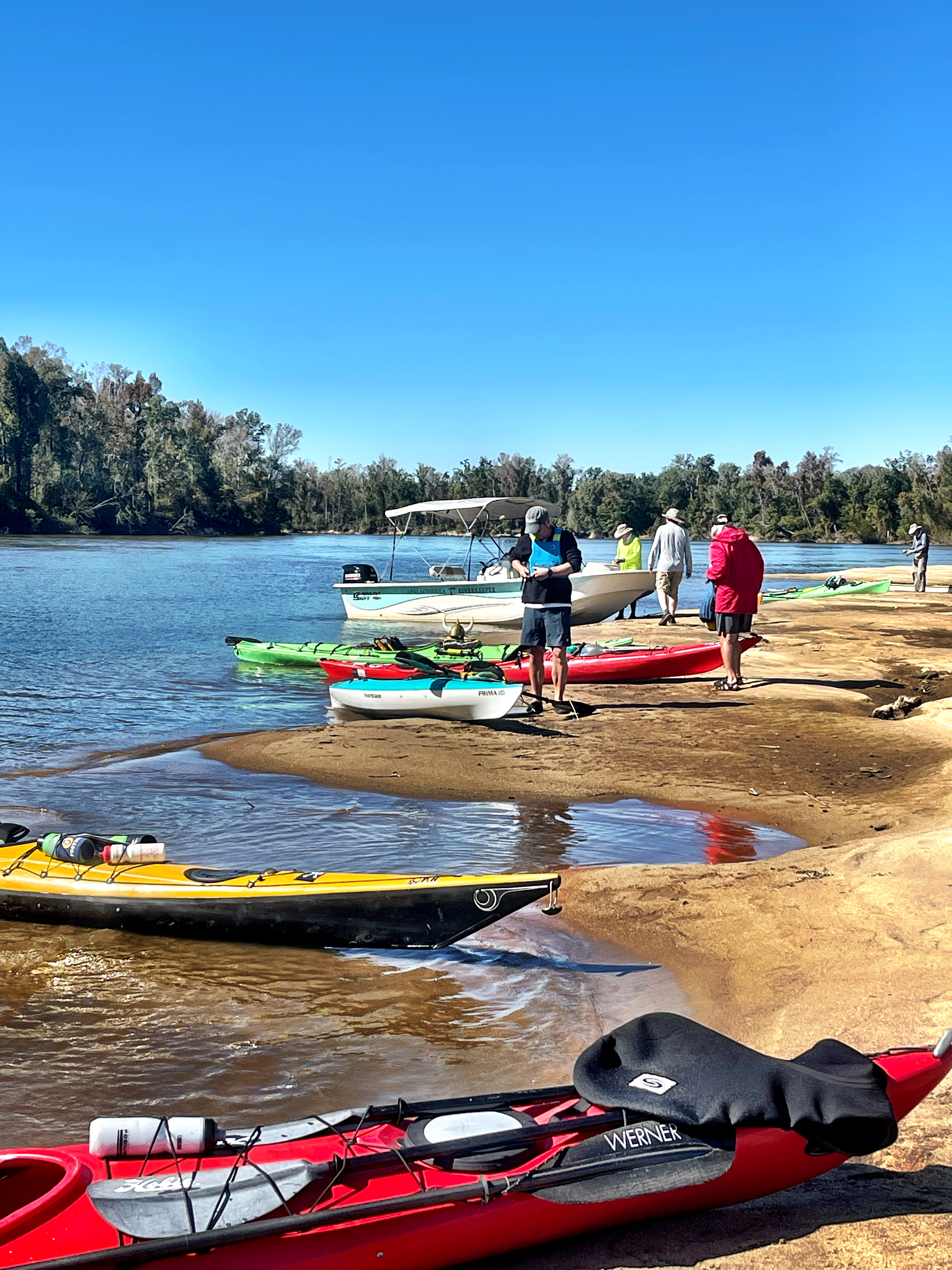
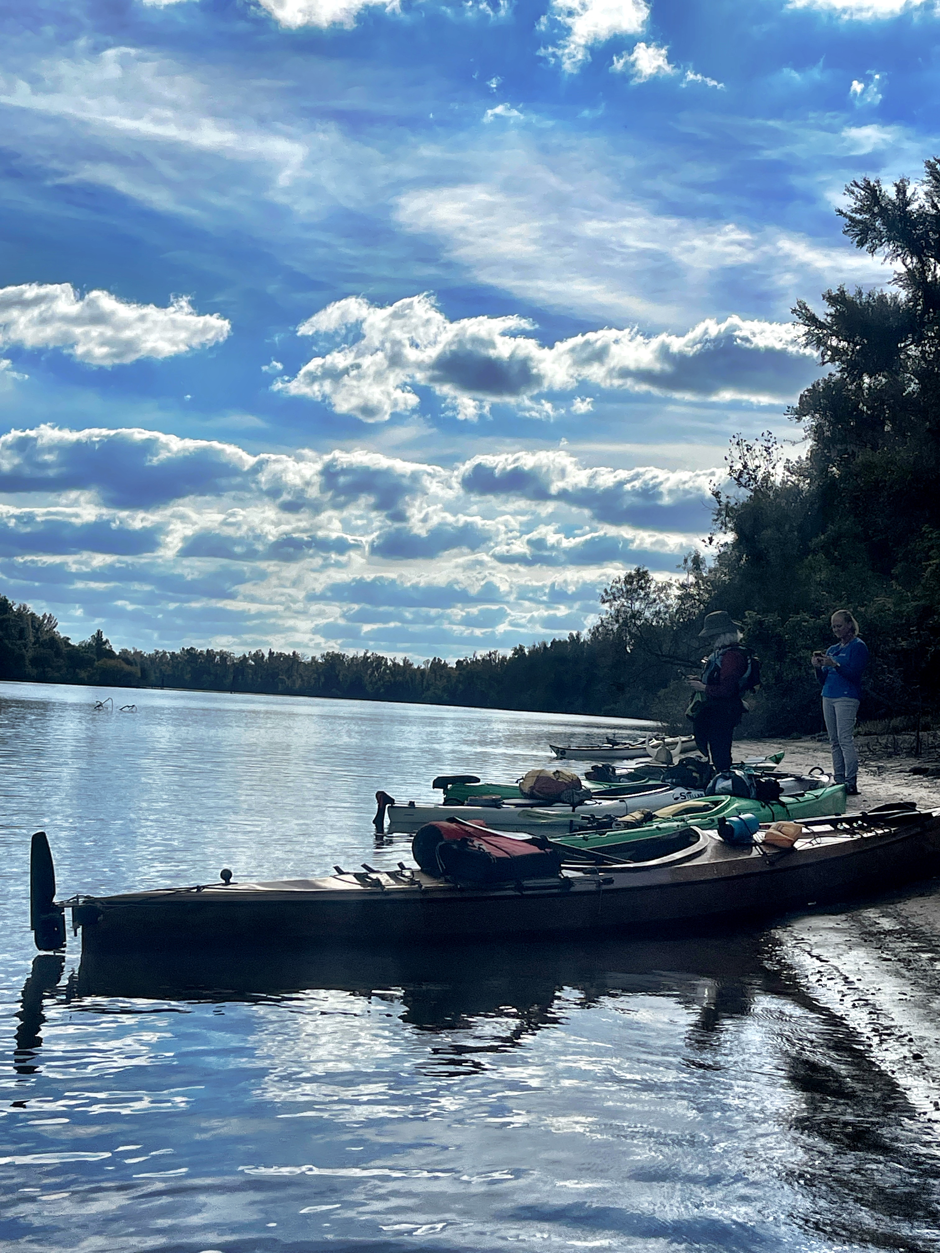
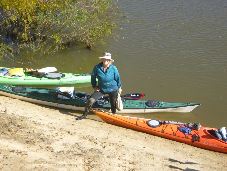
Although wind and clouds threatened us one afternoon, our weather was mostly sunny, perfect for swimming and bathing during our breaks. Most days we had one lunch break and two cookie breaks on the plentiful sandbars. These sandbars make the Apalachicola an ideal river for multiday trips—plenty of campsites.


On our third night, we camped just upstream of Gaskin Park. Again our intrepid volunteers treated us to dinner: the Apalachicola Riverkeeper support boat, source of an endless supply of food, produced a pot of gumbo!


On our fourth day, we ascended Sand Mountain, which gave us beautiful views of the river and a chance to stretch our legs.


Unlike the natural bluffs upstream, Sand Mountain is the product of dredging by the US Army Corps of Engineers. The dredging process cut off a slough, thus interfering with natural water flows. According to the Riverkeeper, sloughs help circulate water and nutrients through riverine systems in a process similar to veins and arteries in our bodies.

The Apalachicola Riverkeeper is part of a team working to restore three sloughs. Ken Jones, project manager and our support boat driver, explained the process to us in Douglas Slough.


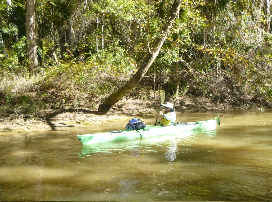

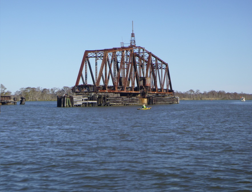
On our fourth day of paddling, the river transitioned to a coastal environment. We had fewer sandbars and fewer breaks. On our final night, we camped at Hickory Landing Campground, a 1 1/2 mile paddle up Owl Creek. In October 2021, I explored this area when the Rivertrek was rescheduled due to high water. We paddled nearby Devon, Owl and Black Creeks and learned from Riverkeeper Doug Alderson about distributaries: channels that distribute water away from the main channel, out into the watershed.


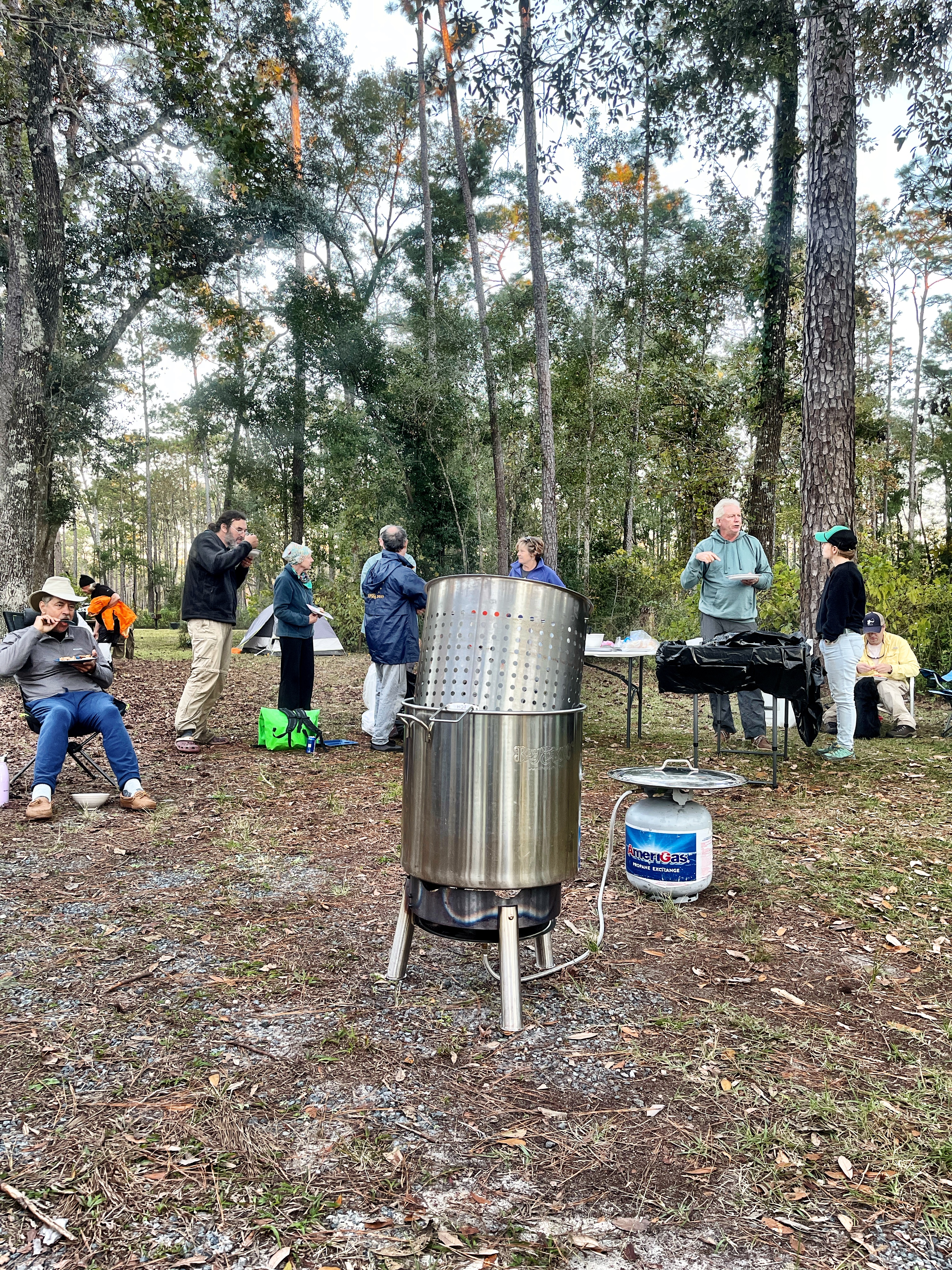
That night Riverkeeper volunteers set a high bar: a low country boil! The promised cold front indeed rolled through but our feast and warm clothes kept us going on the final leg to Apalachicola Bay.

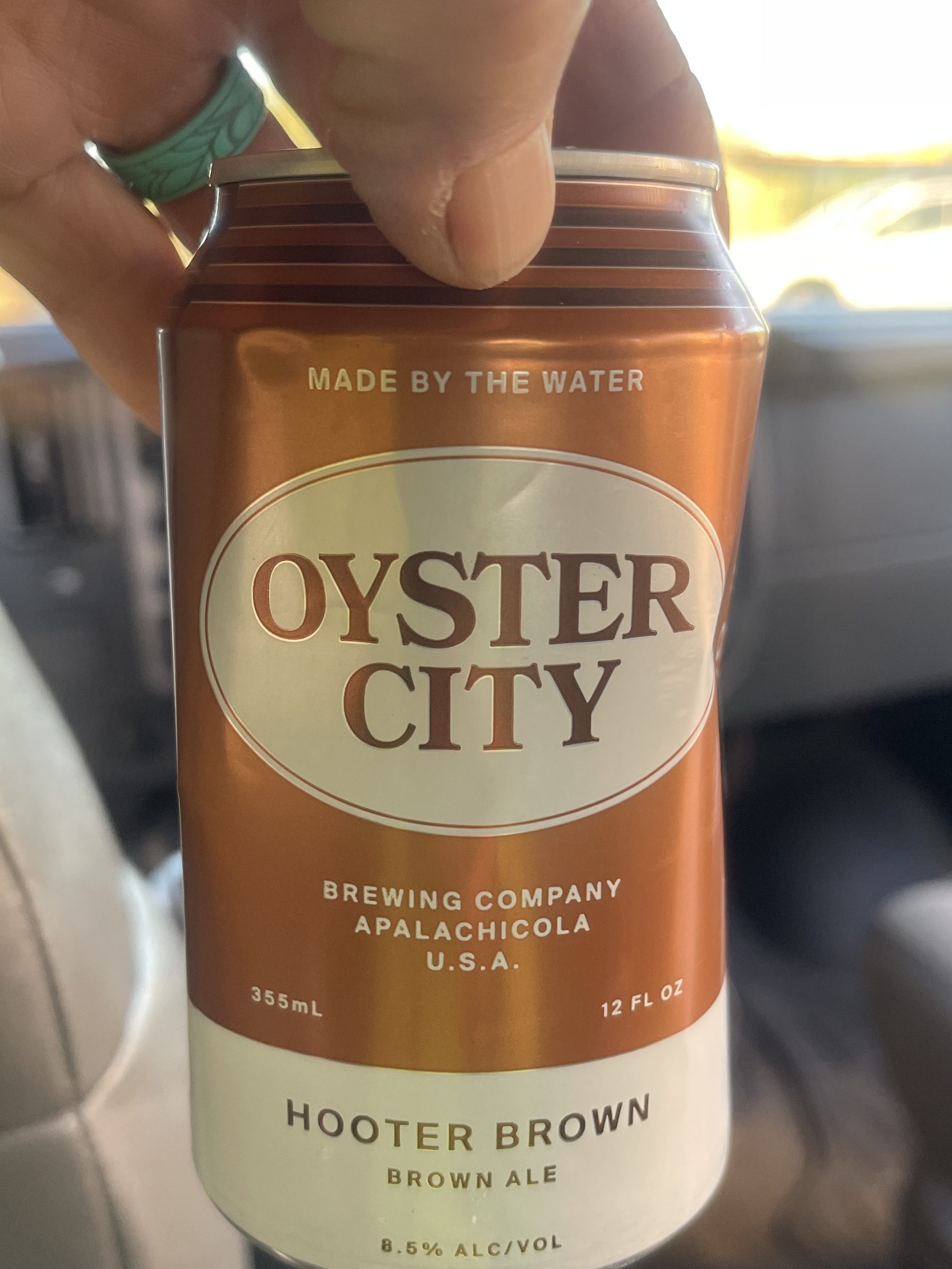
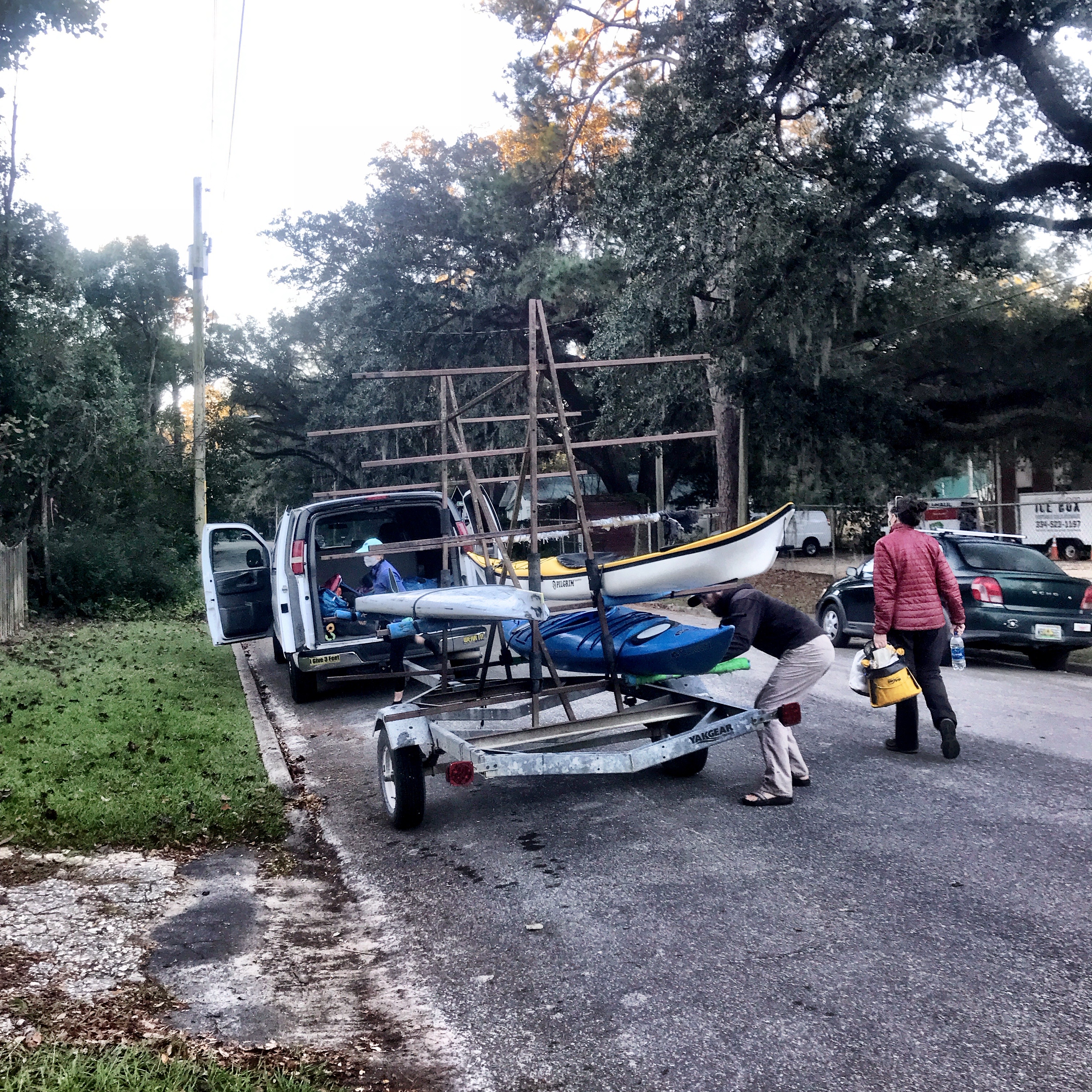
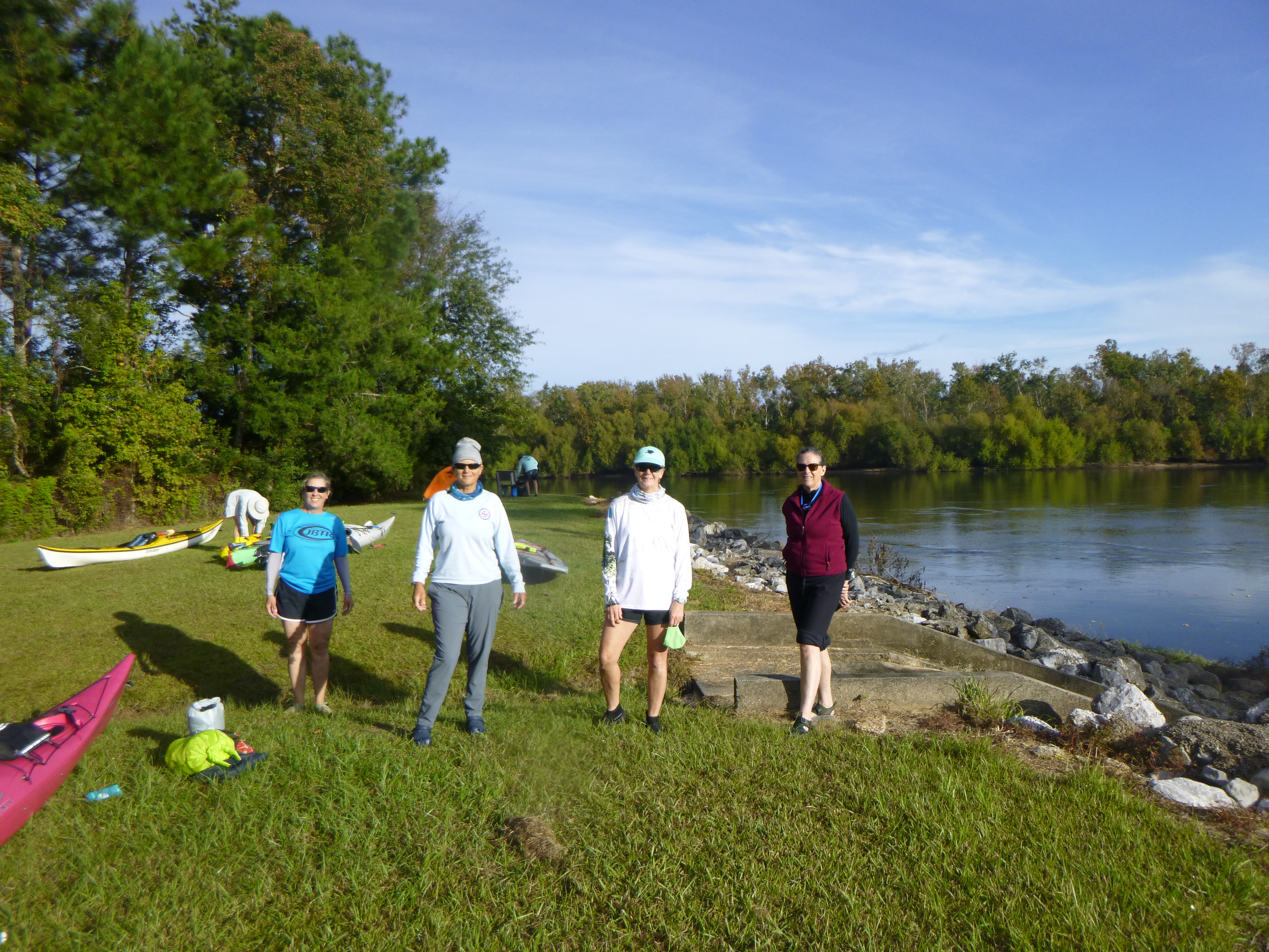
Doug promised us fanfare when we reached Apalachicola, and he delivered: a band and plenty of beer. I know that my next visit to Apalachicola will include a visit to the Oyster City Brewery. After goodbyes to new and old friends, Harry of Harry Smith Outdoors, shuttled bodies, boats, and board back to Tallahassee. Like most good trips, it went way too fast. Even though we paddled the entire Apalachicola River, I felt like I only had a glimpse into what this region offers. I’m already planning my next trip.