Just a short paddle from Skidaway Island in Savannah, Georgia, lies Ossabaw Island, offering a glimpse into Georgia’s cultural and ecological history. I had kayaked and camped on Ossabaw Island several years ago with Ronnie and Marsha of Sea Kayak Georgia, but I hadn’t seen the buildings or explored the island’s interior. When Kathryn Lapolla of Savannah Coastal Ecotours invited me to join her and a group of basket weavers from Tennessee on Ossabaw Island, I leapt at the chance to return.

Ossabaw Island is one of the Sea Islands, a chain of barrier islands stretching from the Carolinas to north Florida. Unlike many of these islands, Ossabaw, St. Catherines and Wassau have remained largely undeveloped. But the structures that remain on Ossabaw reveal both a unique history that parallels that of the Low Country. The island’s beauty obscures a rich and difficult history, including centuries of slavery and later Reconstruction wherein African Americans gained and soon lost access to land. Paddling across the Ogeechee River, I bore in mind that a place of joy to me might yield pain to others.
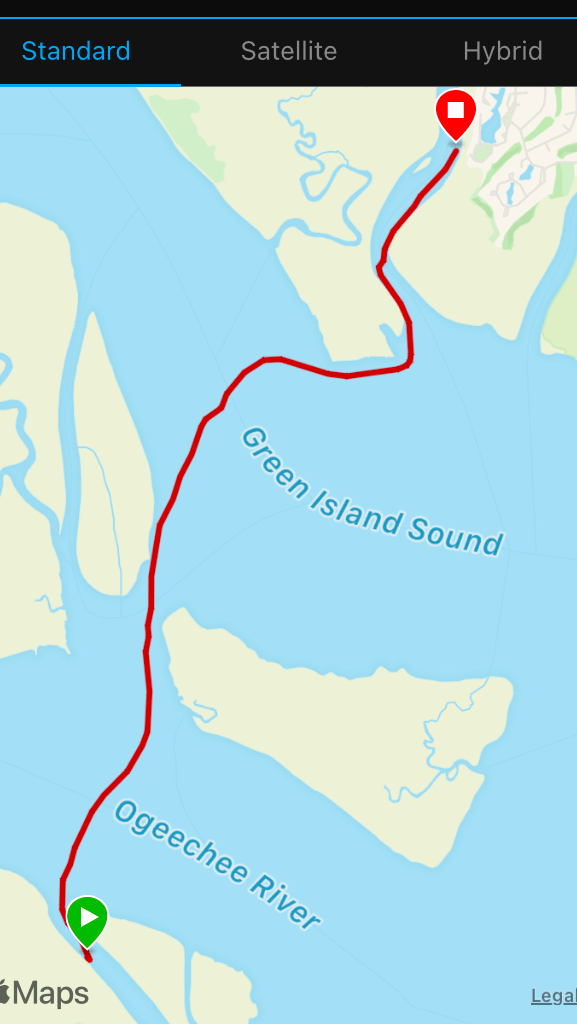
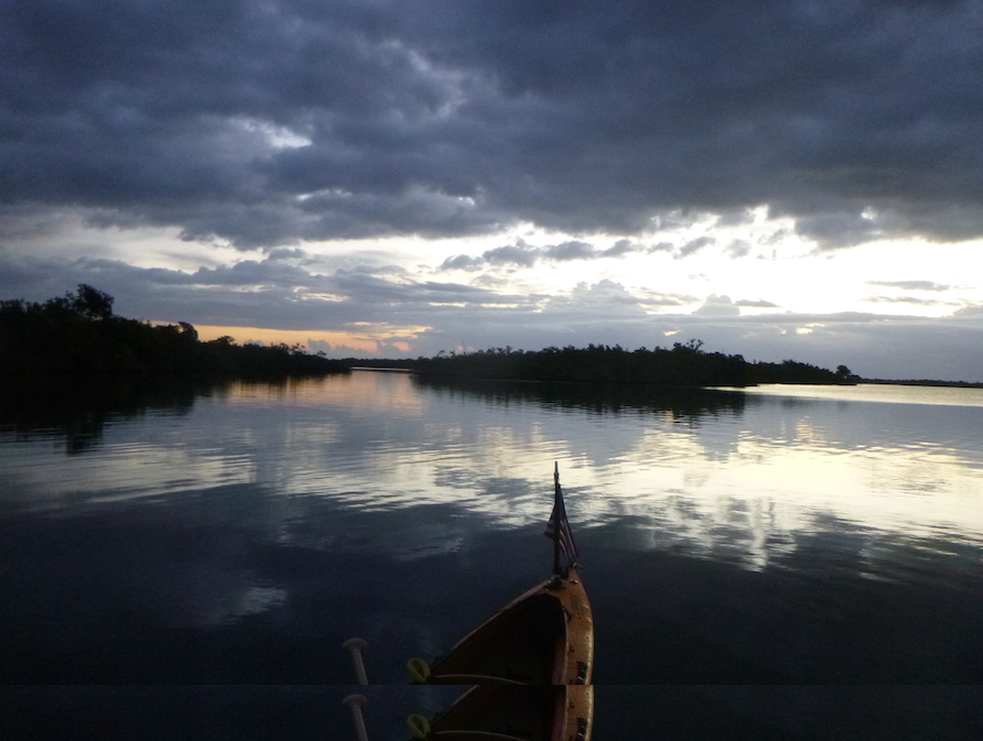
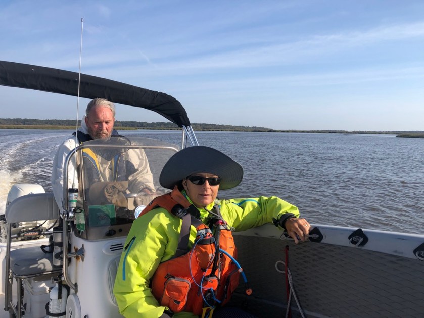
Kathryn and I prepared our respective crafts, an NDK Sportive kayak and a 14′ Bishop A’u paddleboard, for a 10 am departure. Although the trip was only 6 miles, Georgia’s strong tidal flows make tidal planning essential. Kathryn’s husband Fran had already shuttled the weavers to the island, along with gear and food for the week.

We arrived at Torrey Landing, just a short walk from the Clubhouse where we were all staying. On my last visit, I camped at the South End Beach Camp, a primitive site almost 8 miles away. The Clubhouse with its community kitchen and expansive porch felt luxurious.

Where we practiced the art of porch sitting 
The Boarding House 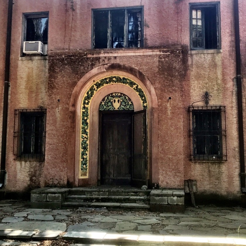
Main House
Ossabaw Island’s history is similar to that of the Low Country, with waves of indigenous settlements, followed by European settlers. One notable exception was visionary Sandy West (1913-2021) who cultivated the artistic oasis that Ossabaw later became. According to the Ossabaw Island website, archaeologists and historians documented numerous indigenous communities prior to the arrival of Spanish and English settlers. In 1763, John Morel, Sr. purchased the island and brought 30 enslaved people to produce indigo and later sea cotton. After the Civil War, parcels of land were distributed to the newly freed people to farm as part of Reconstruction. Unfortunately, this was a short-lived promise. Soon thereafter, Andrew Jackson rescinded this distribution and returned much of the land to ante-bellum landowners.

Eleanor Torrey West, known as Sandy, inherited Ossabaw from her parents and founded the Ossabaw Foundation to preserve the island. She later deeded Ossabaw Island to the State of Georgia with the provision that it would remain undeveloped. She lived on the island full-time and welcomed groups of artists, writers, and educators to stay for short periods. And that is how I came to be weaving a basket on Ossabaw Island.

Concentration 
How it starts 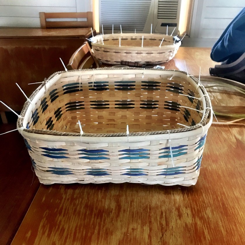
Almost done
I came to Ossabaw to paddle, but I became strangely entranced by the process of making a basket. Kathryn had warned me that the weavers weren’t going to let me go without making one. I was game, but wary, as the least artistic person ever. But with Barbara’s excellent instruction (and mistake fixing), I actually made a basket. I loved visiting with the weavers. They come every year and told island stories of years past.

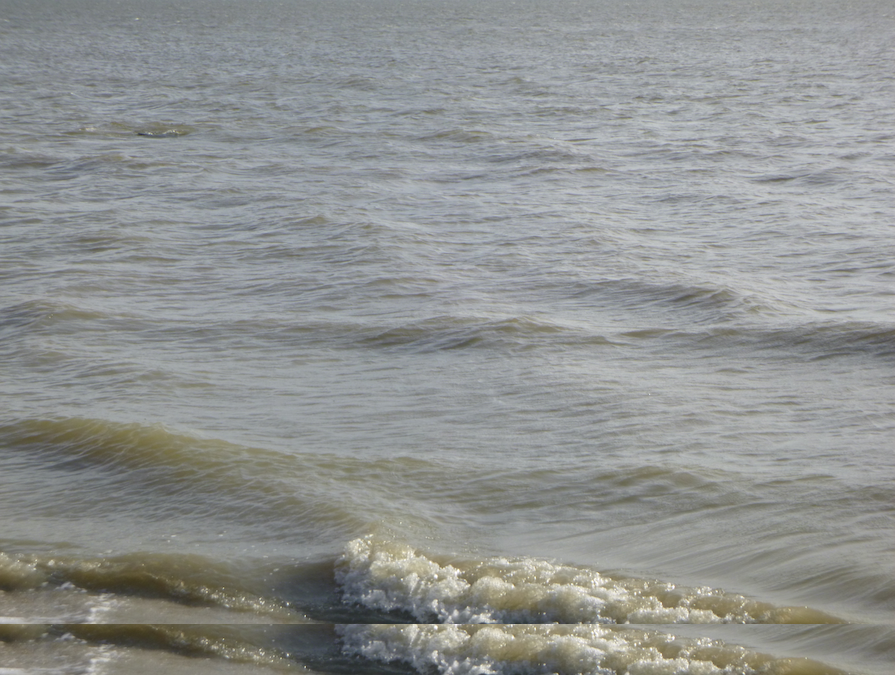
But it wasn’t all about basket weaving. Kathryn and I explored the island by boat and board. One day,we surfed the tiny waves rolling in around Bradley Point on the south end.
Kathryn and her Sportive 
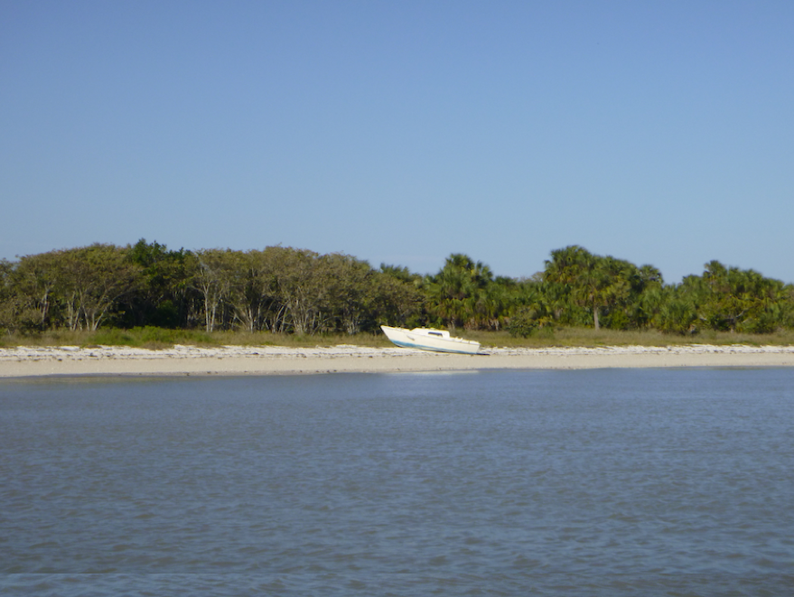
Bradey River Landing 
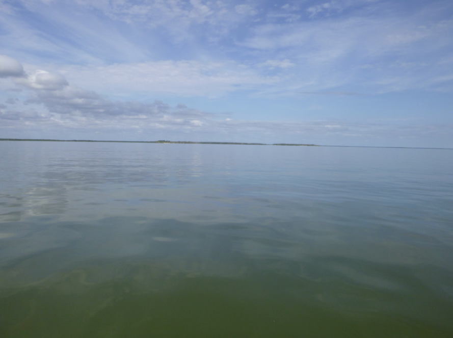
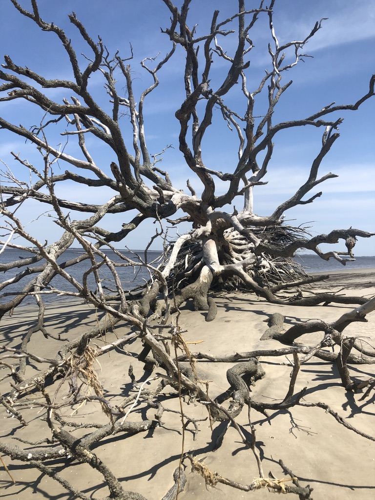
Expansive sand 
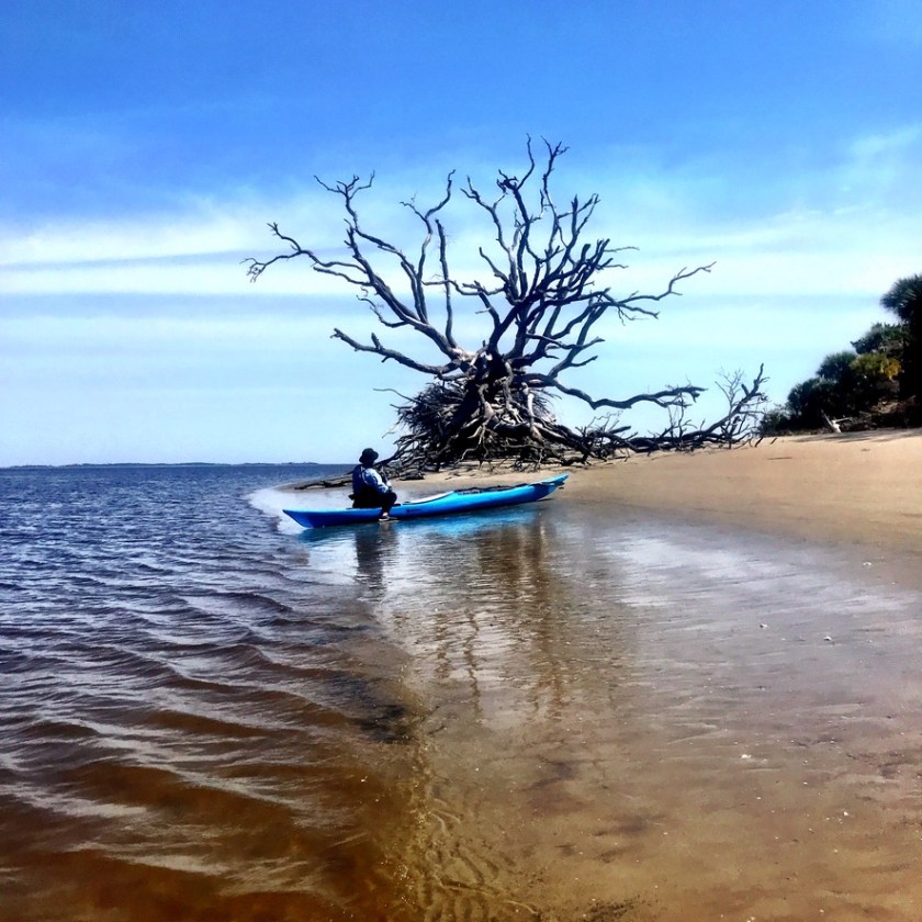
Ossabaw Dreaming (Photo by Kathryn LaPolla) 
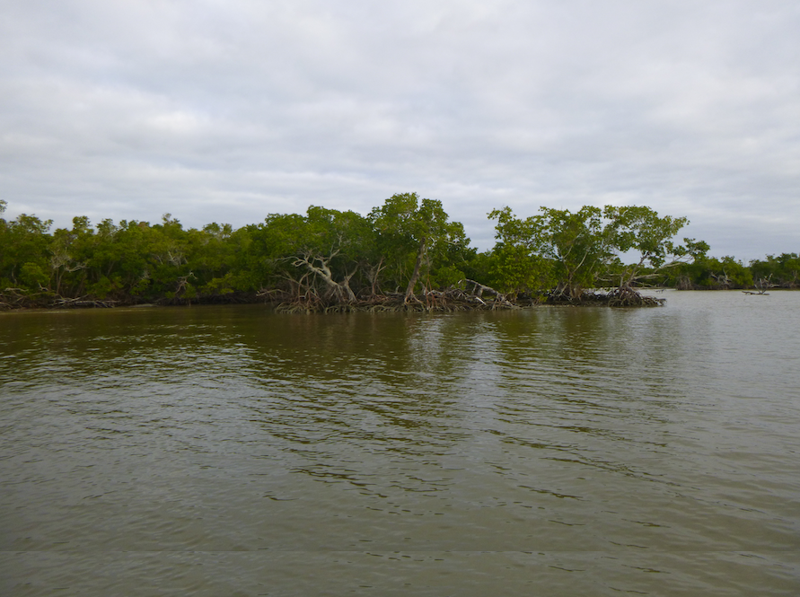
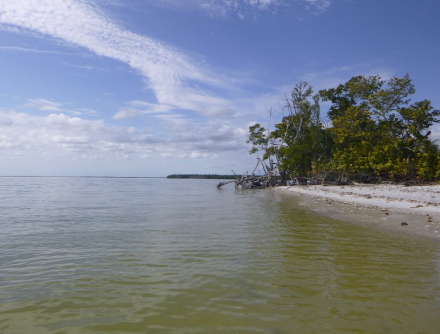
Exploring creeks 
Bluffs
Another day Fran hauled boat and board up the Bradley River. We rode the tide downstream and back to the landing, looking out for gators and dolphins along the way.

The tidal currents of the Ossabaw River created an endless pool for my SUP practice. As part of my technique training through Paddle Monster, Coach Larry Cain had assigned both land and on-water drills to improve my stroke. I paddled upstream, practicing my catch and exit, floated back down and repeated, again and again. An alligator surveyed my first few passes, until the sun and repetition lulled it to sleep.

We also toured the island by land, piling into the back of the Foundation truck. We saw Middle Place, site of the Genesis Project, another Sandy West creation. From 1970-1983, artists and others spent from a week to a year on the Genesis Project, “a cooperative, semi-sustainable community” where they lived “close to the land.” I wish I had learned about the Genesis Project when I was writing Living Sustainably. I found these communities fascinating, but found few in the deep south.

Foundation truck 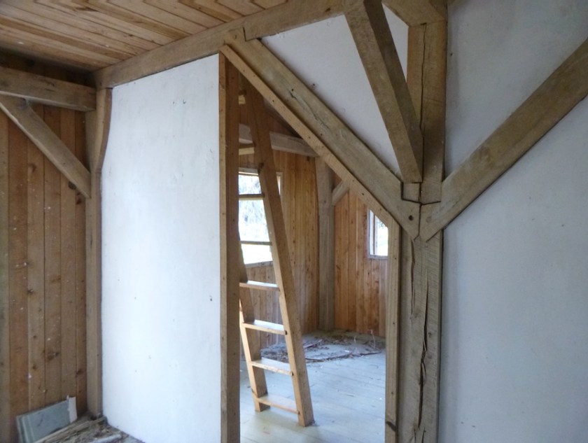
Genesis residence 
Genesis building
We saw the once-elegant Main House and looked for bird life towards the south end of the island.
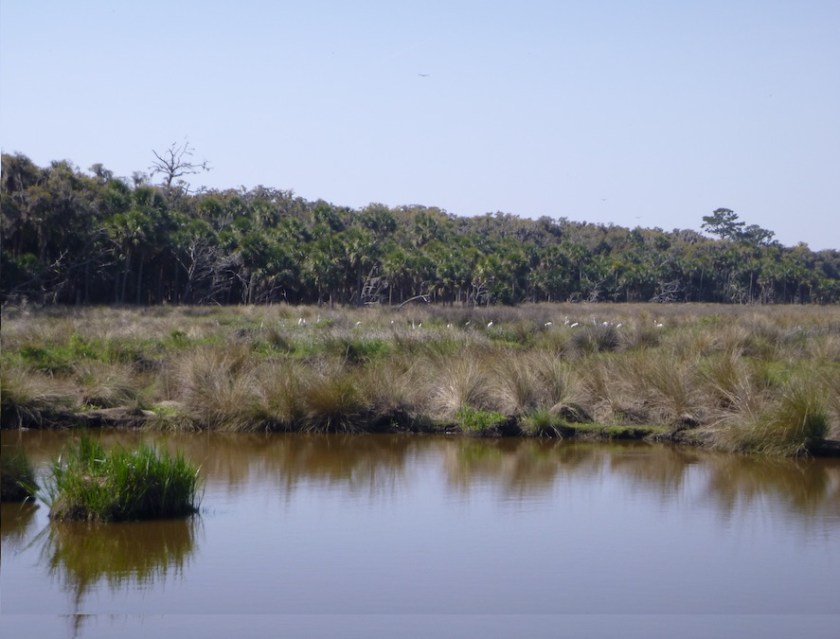
Wood storks 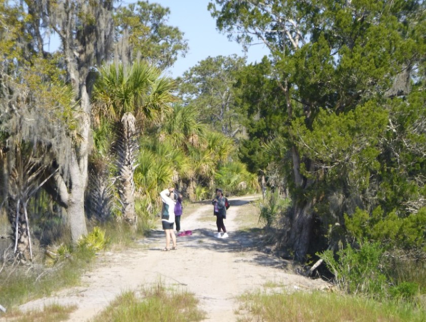
Birds! 
Sea grass
Ossabaw had no shortage of wildlife, some wanted and some not. Sandy had introduced donkeys to the island, and they loved their apples and carrots. A less welcome raccoon slipped into the house early one morning and helped himself to granola bars and snacks.
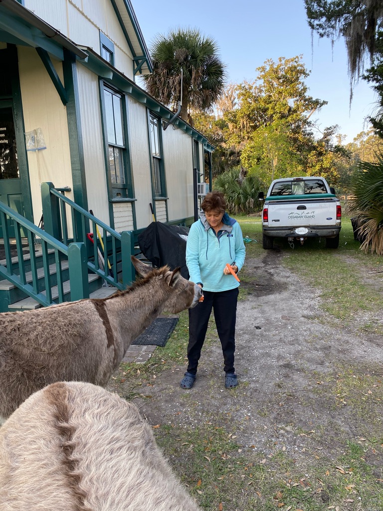
Photo credit: Pam Bullock 
Hungry donkey 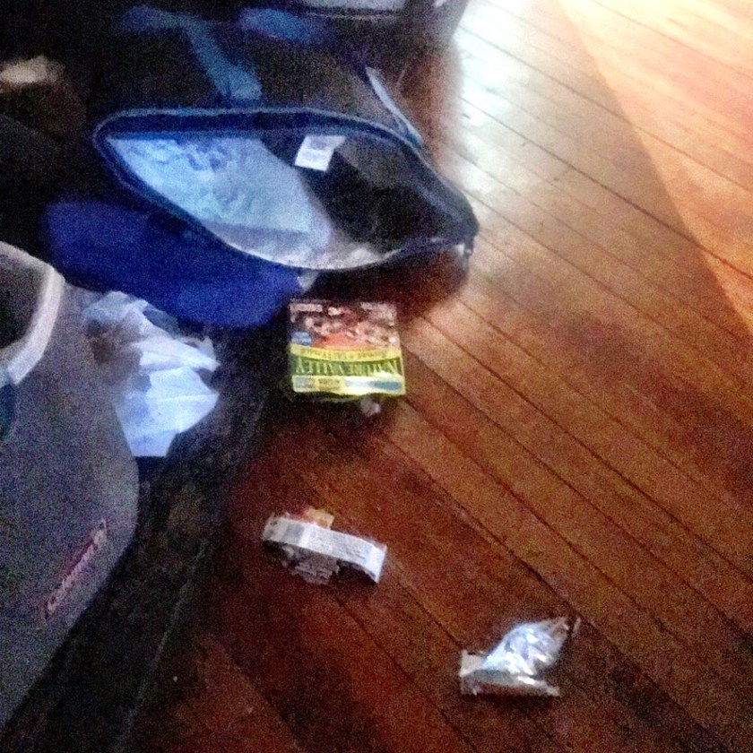
Evidence
And suddenly, it was time to paddle back to the mainland. Ossabaw is a magical place, revealing so much cultural and ecological history. The fate of Ossabaw Island is in the hands of the State of Georgia. I hope they live up to Sandy West’s expectations.

Pizza making