Explore Dominica by kayak? Try the Waitukubuli Sea Kayak Trail, a 40-ish mile paddle trail down Dominica’s stunning western coastline. For years, Dominica’s rugged landscape and range of outdoor activities had intrigued me, and when Michael Gray of Uncommon Adventures organized this trip, I jumped in. Finally March 2024 arrived, and we were on our way.
Not for the faint of heart
Dominica’s rugged volcanic terrain
Before we met our group from Uncommon Adventures, several of us spent one night at the Jungle Bay Resort, and we agreed that one night was not enough. Their wide range of outdoor activities demands a return trip.
One of three pools
View from our cabin
The next day, we arrived at the Soufriere Outdoor Centre, only a short and steep drive from the Jungle Bay Resort. Wes Moses started the Soufriere Outdoor Centre and, with his Dominican colleagues, established the Waitukubuli Sea Trail which parallels the Waitukubuli Trail through the mountains. After meeting Wes at a Sea Kayak Georgia symposium, I had been following the progress of the guesthouse and trail. Up until now, relatively few have paddled the Waitukubuki Sea Trail, but recent coverage in Travel and Leisure and Youtube should change that. That afternoon, we chose boats and outfitted them for the week. Wes had a wide selection of NDKs (Nigel Dennis Kayaks), and I was fortunate to get a Pilgrim Expedition, a boat I have paddled extensively.
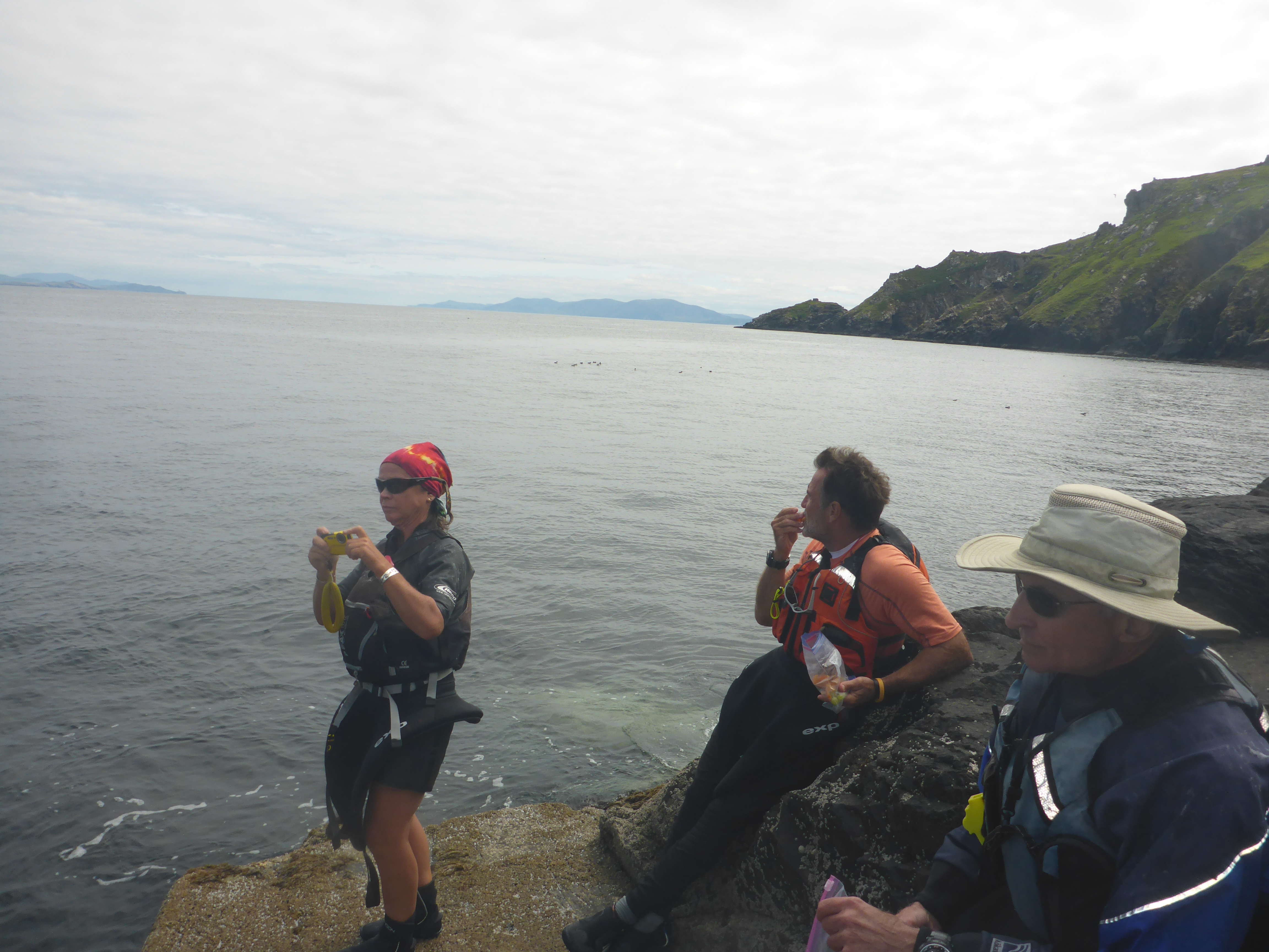
Monday—finally on the water. Michael and Dominican guide Kerry Alleyne led to the southern tip of Dominica, where the Caribbean meets the Atlantic. Michael had warned us about winds whipping through the mountains, but none of us were prepared for the abrupt transition from Caribbean paradise to boat-stopping gusts and back, all in under a minute. The winds dropped as the week went on, but it kept us on our toes.
We climbed up to Scott’s Head, the south end of the trail
That afternoon, we snorkeled around Bubble Beach Spa, a black sand and rock beach so named for the bubbles emerging from the volcanic thermal springs. After a day of paddling and snorkeling, Michael’s grilled snapper, rum punch, and Kubuli beer were a welcome treat. And we learned the mnenonic for the trail: Wai-tu-kubuli? Because one is not enough. Noone suffered from hunger or thirst that week.
Soufriere Sunset
View of Bubble Beach
Snapper on the grill
Snapper galore
Tuesday morning, we crammed three days worth of gear and clothing into our boats and headed north, passing Champagne Beach, another bubbly snorkeling spot. Our destination: Anchorage Hotel in Rousseau, Dominica’s capitol. Despite the heat, that afternoon’s trip to the hot springs felt wonderful, as we tested out the different levels of heat in the pools.
View from the Anchorage Hotel
The hottest of the hot springs
Kerry and Michael snag the Iron Tub
The thermal springs prepped us for our longest day, a 15-ish mile trek from the Anchorage Hotel to Sunset Bay’s Lobster Palace. A slight tailwind and following seas made the trip surprisingly fast and easy. We passed several busy ports along the way, and that was the only time we had to watch for boat traffic during the trip. In Layou, just south of St. Joseph, we experienced what I consider to be the culinary delight of the week: Boyd’s Bakes, fry bread stuffed with a curry-infused smoked fish. Boyds Bakes, in itself, is worth a return visit.
Sunset Bay
Sunset Bay and the Lobster Palace! We dragged our boats on to the beach and settled in for the feast. Noone left the Lobster Palace hungry—we had a three course breakfast!
Caribbean lobster!
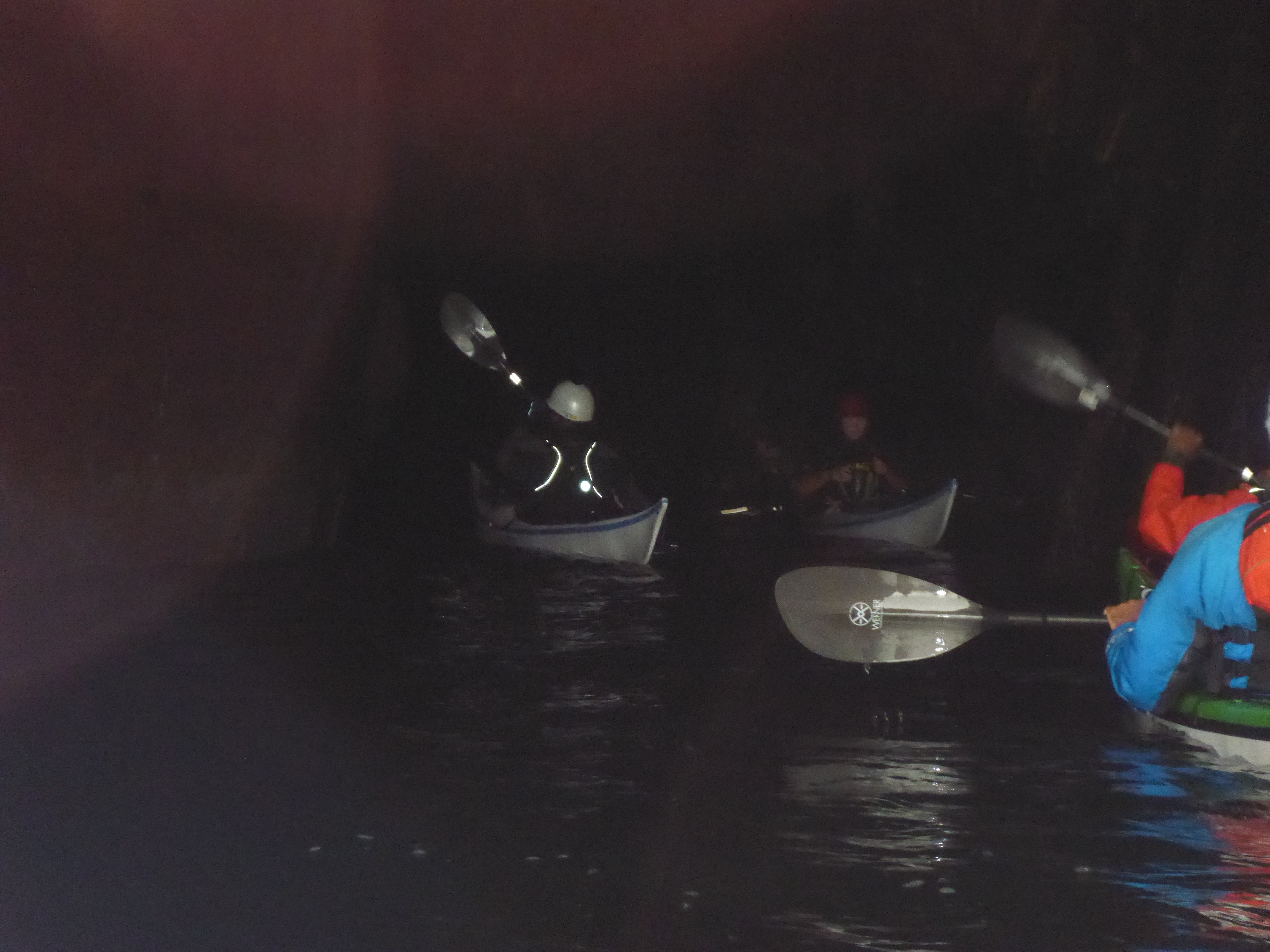
En route to Fort Shirley, we snorkeled at Secret Beach, one of the best snorkeling spots of the trip.
“Fort Shirley is part of the Cabrits National Park in the north of Dominica and can be considered Dominica’s most important historic site and was the scene of the famous revolt of the 8th West India Regiment in 1802 when African slave soldiers took over the garrison for three days in protest over conditions there and the fear of being sent to work in the canefields. Their action resulted in all slave soldiers in the British Empire being made free in 1807.”
Unfortunately the fort historian, Dr. Lenox Honeychurch, was unavailable that day. I am often struck at the somber histories of areas of great beauty where I paddle and enjoy nature.
Fort walls make great drying racks
Ordinance storage, I think
Cannons over Douglas Bay
View from our room
Step Up–ginger wine and rum
Layover day—visit to Free Up Farm and Syndicate Falls.
Plants grow big here
Bananas galore
Co-owner and tour guide
Syndicate Falls
Climbing to the Falls Photo by Cynthia Donovan
Photo by Margaret Arneth
Nothing beats a cold Kubuli
Segment 14—The End! The Witches Hat marks the northern terminus of the trail where the Caribbean once again meets with the Atlantic. We had completed the Waitkubuli Sea Trail, and it was time to unload our boats and send them back to Wes in Soufriere.
The next morning, the group split, making our way back to the airport. Kevin, Michael, Lisa and I spent the night at the lovely Sea Cliff Eco-Cottages, which also have a gin distillery. Another site worth a return. En route, we saw some promising waves—a surf trip up next?—and the Point Baptiste Estate Chocolate Factory.
Our amazing time in Dominica had come to an end, and I felt like I had only scratched the surface. So much to do, and so much to learn. Our guide Kerry and our driver Kish from Portsmouth had explained so much to us about Dominica, and that left me eager to return. As they say about Kubuli: Why Two? Because one is not enough. And so with Dominica—one week is not enough.
Low wind, ideal tides, and clear skies bode well for a day on Wassaw Island. Lured by the siren call of a deserted beach, we launched boat and board from the Landings Marina on Skidaway Island and rode the tide towards the north end of Wassaw Island.
Courtesy of Stewards of the Georgia Coast
Wassaw Island is one of the Sea Islands, a string of barrier islands that stretch from the Carolinas to north Florida. These islands saw waves of settlements, from indigenous peoples to enslaved African-Americans to 19th and 20th century conservationists hoping to preserve the ecological character of these islands. In particular, isolation on these islands fostered the preservation of African languages, foods, and traditions among the Gullah-Geechee people who had once comprised the bulk of the Sea Island residents.
George and Sarah Eddy Parsons in 1866 (Courtesy of FWS)
Wassaw Island is one of several largely undeveloped islands along the Georgia coast, and we can thank wealthy industrialists and financiers for their semi-wild condition. Shortly after the Civil War, the Parson family from Maine bought the Wassaw and later transferred ownership to the US government to prevent development, forming the Wassaw National Wildlife Refuge. Today, Wassaw and nearby Little Tybee, Ossabaw and St. Catherine’s provide critical habitat for this marine ecosystem, and the isolated beaches foster an almost unimaginable sense of solitude and wilderness.
Blooming yucca
Leopard crab shell
Wilson’s Plover nesting area
These islands are accessible only by boat, a perfect day trip for paddlers. However, this is coastal paddling, so it is important to wait for the right wind and tide conditions. Coastal Georgia boasts tides of up to 8-10′ feet, so that is alot of water moving in and out of these rivers and sounds.
Courtesy of Google Maps.
Again, thank you Google Maps
From the Landings Marina, we paddled approximately 6 miles down the Wilmington River, across Romerly Marsh Creek, and landed on the north end. We carried our gear above the high tide line, hoping the trees might offer even the tiniest bit of shade. Then, a long refreshing float and our first wildlife encounter. A large stingray reminded us do the stingray shuffle.
Seeking shade
Failed attempt at shade
No attempt at shade
Cooled off by our float and Kathryn’s watermelon, we walked toward a laerge stone block just offshore. This, Kathryn said, is what remains of Battery Morgan, a gun battery constructed during the Spanish-American War. That this block was once well onshore reveals just how much the sand and islands change over the years.
What’s left of Battery Morgan
The block marked the entrance to the island’s dirt roads and a self-guided cell phone tour. We ambled slowly up the road, then quickly marched back out when the mosquito brigade emerged in force. The pond and the birds could wait until the colder months.
Road entrance
This will wait until January.
A creepy crawly?
After fleeing the mosquitos and any other critters inhabiting the interior, we wandered through the dead trees on the point. Storms and shifting tides create haunting boneyards of dead trees that appear on all of these barrier islands. These trees also function as a reef of sorts, providing shelter for fish and incubating oysters.
Oysters Rockefeller anyone?
Why I wear shoes
These barrier islands and the marshes surrounding them host great biodiversity, both on land and sea. The dark waters of estuaries—where the waters of rivers and the sea mingle—reveal life, or organic matter, and it is a mistake to dismiss this water as simply “dirty”, as some do. The biologically rich waters of marshes and estuaries support juvenile fish, that often need a mix of fresh and salt water, and the microorganisms that feed them.
As we paddled, I saw several turtle heads popping up and back down as soon as they saw us. The turtle population along the Georgia coast has risen, thanks to the efforts of volunteers on the different islands. Over the season, volunteers mark nests, protect the nests, and protect hatchlings as they make their way to the sea. The Caretta Project allows volunteers to stay on Wassaw Island for a week to identify nests and/or protect hatchlings, depending on the time. We saw several of signs which, we assume, mark regions for the turtle volunteers. An amazing week, for sure.
How did I get here? Hold my beer.
Free Willy!
Walking back to our gear, we noticed a horseshoe crab trapped in the sand. As we removed sand to free it, its tail twitched, and finally it swam away. Although horseshoe crabs might seem ubiquitous on the Gulf and Atlantic coast, their numbered have dwindled, due to both environmental factors and their blood being used for biomedical reasons.
Deadman’s Hammock Photo credit: Kathryn Lapolla
Photo credit: Kathryn Lapolla
And time for us to leave as well—an incoming tide, and the wind at our backs. Instead of retracing our steps, we detoured past the oyster mound at Dead Man’s Hammock, wound our way through Old Romerly Marsh Channel, and then back across Romerly Marsh Creek to the Wilmington River. Kathryn warned, me not to take that tempting left up Romerly Marsh Creek. It’s a mistake you do not repeat.
We could have detoured more, but thoughts of of Leopold’s ice cream, a Savannah delicacy that my grandmother remembered from her childhood, fueled a speedy return. We slowed briefly to watch several baby sharks playing and feeding, then went to feed ourselves. Sitting on the marina deck, we reflected on such an unusual summer day—no signs of the afternoon storms. Typically signs of building storms chase us off the water by early afternoon. So while we lucked out on the day’s conditions, in reality we are even luckier to have such a biologically and culturally significant area to explore.
Early one morning in June 2019, I paddled my 16’ Pilgrim Expedition kayak through Skagway Harbor Marina, past rows of sailboats, fishing boats, and charters and finally beyond the cruise ships towards Lynn Canal. Skagway Harbor is the northern terminus of the Inside Passage, and our foursome—Dawn, David, Anthony, and myself—were beginning our 550 mile journey south to Prince Rupert, BC. We had risen at 4 am to beat the predicted afternoon winds, a routine we maintained for the entire journey. After months of packing, planning, and charting, we were finally on the road, southbound down the Alaska Marine Highway.
A Norwegian cruise ship had just arrived, and soon passengers would flood Skagway, buying t-shirts, jewelry, and raincoats. The previous night I watched a Disney cruise ship leave Skagway’s small harbor, tooting a familiar Disney melody to signal its departure. We passed the ferry terminal where the Alaska Ferry ‘Malaspina’ had carried us along with our boats and piles of gear. The thirty-eight hour ride—what some call the poor man’s cruise—previewed what we would see over the next month. For others, though, ferries are a lifeline and primary means of transportation. And here lies the reality and, perhaps, the beauty of the Inside Passage—cruise ships, ferries, and fishing boats also ply this swath of Alaskan wilderness.
Alaska’s Marine Highway (Courtesy of Alaska.org)
“Whales every day,” Dawn had promised. True, few days passed without whale spouts or, even better, the fluke indicating the whale’s deep dive. Six weeks in Alaskan wilderness lured me, but so did the people and towns that populated Alaska’s Marine Highway, a segment of the Inside Passage. The Inside Passage is an approximately 1,000 mile route from Seattle, WA to Skagway, AK so named because the barrier islands buffer ocean swells from the Gulf of Alaska. The Inside Passage links people and places along southeast Alaska’s roadless coastal region, just as rivers served as highways throughout the lower 48 prior to roads. I embarked on this journey seeking adventure, but, in the end, my trip resembled a great American road trip, a mixture of crowds and solitude, rambling conversations and introspection.
Skagway’s crowded marina faded behind us, and the rocky shores of the mile-wide Lynn Canal surrounded us. Clear skies and glassy seas made our first day 15 mile paddle to Haines, Alaska a perfect shake-out day. For the first hour, the bear barrel in my cockpit cramped my legs, and I was grateful for our calm conditions. I had practiced cramming weeks of food, water, and gear into my boat again and again, but it still didn’t fit. At our first stop, I rearranged the barrel and other gear, a big improvement. Midway through the trip, I mailed home the bear barrel and other seemingly useless things—how could I still have too much stuff in the confines of a kayak?
A headwind made our last few miles into Haines difficult, no sooner than we paddled into the harbor the wind laid down. We pulled our boats onto the boat ramp and looked up towards the town. Southeast Alaska’s 12-18’ tidal range means that boat ramps are quite steep at low tide. The Harbormaster directed us to the nearby campground and pointed our carts to ferry our gear up the hill. No sooner than I had loaded a cart, a man called out “I’ve got a truck” and hauled our boats and gear to the campground. We wouldn’t have this luxury in our wilderness sites, but his kindness and a coin-operated shower crowned our first day. Harbormasters, shopkeepers, and random strangers—Alaskan hospitality is unparalleled. The harsh environment fosters both independence and interdependence because survival depends on relying on each other, a lesson paddlers learn well.
A rare sunset. We rose at 4 to be on the water by 6.
Skagway to Juneau: Headwinds on the Lynn Canal
By 6 am the following morning, we had packed, carried gear and kayaks down the ramp, and begun paddling south towards Juneau. Charts covered the decks of our kayaks, but navigating Skagway to Juneau is straightforward—follow the Lynn Canal south. The Lynn Canal is actually an inlet and considered the ‘Gateway to the Yukon.’ Over a hundred years ago, more than 100,000 prospectors traveled north up the Lynn Canal to stake a claim on the Klondike Gold fields. Many died, but many remained, transforming life in southeast Alaska forever. The Gold Rush began a population influx of North Americans and Russians into native populations, creating traumas and tensions that continue today.
We weren’t alone in the canal—cruise ships, fishing boats, and ferries motored past us. Cruise ships mostly passed in the late evening or early morning, often when we were getting ready for bed or packing up. I watched the boats as they passed, wondering what people were doing or if they even knew we were there. The ships seemed close but their wakes didn’t reach us until long after they passed. So many people in the canal, but we were so very alone.
The wind can be your friend or enemy in a canal. While preparing for the trip, we learned that the Inside Passage doesn’t have either northerly or southerly prevailing winds, so a fifty percent chance of headwinds on any given day. But, headwind or tailwind, a canal funnels wind. Leaving Haines, the winds increased to over 20 knots in our faces, and we crossed the mile-wide channel, hoping the canal might offer a windbreak. Headwinds and breaking waves made the crossing feel like paddling on a treadmill. The scenery never changed. We kept going—what choice did we have, and finally reached a beach on the tidal flats where glacial Katzehin River joins the Lynn Canal.
Our team had trained extensively in rough water, in coastal regions of the UK and the US, and the conditions were well within our skill sets. But Alaska’s remoteness and cold temperatures figure large in assessing risk so we decided to camp for the night. A rescue in these cold conditions would be dangerous. The cold water chilled us, even with our drysuits, and fleece layers, and my hands had become stiff with cold, even with paddling mitts. We got out of our boats to search for one of those campsites that had looked so inviting from afar. We sloshed upstream through ribbons of water snaking across the tidal flat, towing our boats with our safety lines. Finally, we reached a high point, above the presumed high tide line, and found a home for the night. Warm and dry, I didn’t let myself think about the bear tracks running through our site.
Muddy flats
Every night, after dinner, I sat in my tent and listened to the weather report on my VHF radio. We were beyond cell phone reception. Knowing the wind direction and speed helped us plan the next day’s paddle. Most days we paddled between 20 and 25 miles, stopping for lunch and an occasional break. Paddling point to point rather than along shore cut our distance but made landings and breaks more difficult. Sometimes, I was so stiff by the time we stopped, I fell out of the boat into the water. I have never loved my drysuit more.
Several days beyond Haines and only a short distance from Juneau, our radios alerted us to a storm blowing up the canal, a storm fierce enough to warrant a weather day. We aimed for Bridget Cove, hoping to find refuge from the oncoming storm. Only a short distance by road from Juneau, Bridget Cove is a popular getaway spot. Another example of Alaskan hospitality, a man let us stay in Camp Freedom, a campsite and fire put area his son had built, and we rode out the storm in relative luxury. Only several days into the trip, I was starting to realize that people might be the highlight of our wilderness adventure. Looking back so many road trips and adventures, I remember the people I’ve met along the way.
Almost to Juneau, but first the Mendenhall flats, a mudscape impassable in anything other than high tide. Fortunately, Juneau’s tide peaked at noon so we reached the flats around 9:30 am to ride the tide to hot food and clean sheets. We paddled to the edge of the flats where the water diminished to a trickle. The navigational markers told us where the tide would flood, so we waited. And waited. Inch by inch, we muscled our boats down the slowly rising stream. High above us, small planes buzzed, carrying tourists to see Mendenhall Glacier, a sight we never saw. I knew Juneau was near, and my patience was wearing thin. The water rose enough to carry us, just barely, and our boats lurched forwards and backwards. We bumped the river’s edge and each other, as if the Three Stooges had possessed our boats. Bumper boats and warm showers in our near future, we laughed and laughed.
Juneau to Petersburg: Whales Tails, Bergie Bits and a Holey Boat
Clean sheets, a hot meal, and dry gear—I felt like a princess and a regular tourist. I bought stuff and shipped it home, toured museums, and drank too much wine. I walked the streets, upstream and down through throngs of disembarking cruise ship passengers. Surely some of these people had floated by our campsites, but miles of water and tons of steel no longer separated us. Now all of us crowded the streets, evaluating which attractions or stores merited a visit during our short time ashore.
Thirty-six hours later, we were ready to get back on the water and back to solitude. On a rainy Sunday morning, we perched on the floating docks at the Aurora Harbor Basin and crammed our gear, food, and water back into our boats. Even though we repacked daily, somehow the gear never fit the same way twice. My cockpit seemed suspiciously full of water, and after removing some gear, a small geyser erupted below my footpegs. My boat needed repair and fast. Everyone weighed in—the harbormaster, local sailors, and my team, until the marina hive mind arrived at a consensus: Flextape. I was skeptical. Petersburg, our next stop, lay over a hundred miles south. For the first several hours, I checked the repair obsessively, releasing my skirt to check for water. Only fiberglass and a strip of Flextape separated me from Alaskan waters. I continued checking over the next several days, but less frequently as I began to trust that my repair would hold. And it held until we reached Petersburg, where my boat received a proper repair.
We left Juneau and its crowded streets and joined the stream of marine traffic in Juneau’s harbor. We crossed the Gastineau Channel to avoid congestion, but a constant buzz alerted us to landing seaplanes. I’m used to looking left and right when crossing boat channels, but rarely up. I got used to it quickly—one more oddity that became the norm. Alaska’s coastline and roadless areas make seaplanes a vital part of transportation, and they, too, follow this marine highway.
Look Left, Look Right, Look Up
We continued south down the Lynn Canal, past Point Arden to the west and Bishop Point on right, and on past Slocum Inlet, Taku Harbor, Limestone Inlet, and Point Anmer. Each name represented a crossing, a point of interest, or a campsite. Months before, charts spread across my living room, I studied these sites and considered angles for crossing large and possibly treacherous inlets. Abstracted from the realities of wind, waves, and weather, these sites seemed mysterious, but they became embodied as the daily conditions dictated our paddling and camping.
The Juneau-Petersburg was the coldest and rainiest of the trip. Several nights during this leg, I woke up hungry in the middle of the night, but the thought of grizzlies killed any hope of a midnight snack. Day after day, we set up camp in the rain and broke camp in the rain. Nothing escaped the moisture. But one glorious evening, though, the sun emerged and stayed out just long enough to dry out gear and shake off the black sand from the previous night’s campsite. Dry clothes, dry bag, and dry tent—pure joy and a precious luxury! And even more fun, a young couple within weeks of completing the Inside Passage south to north joined us on our gravel beach. We traded stories and tips about upcoming highlights of our trips. The only fellow paddlers we met during our entire trip.
Yard sale
This rainy period also offered one of our trip’s greatest challenges—a foggy crossing of Tracy Arm in Stephens Passage. Denis Dwyer who has written extensively on the Inside Passage designates crossing Tracy Arm as a ‘crux move’ on the Inside Passage because cruise ships and tours enter this fjord to see whales and glaciers. Under any circumstance, crossings warrant caution: in addition to boat traffic, winds, tides, and currents create swell and potentially hazardous conditions. Fog adds another element of danger and beauty as well. Like most paddlers, we anticipated crossing in the mornings when winds tend to be low. Surprisingly, afternoons rains made the sea glassy, and we mostly crossed inlets and bays in the late afternoon. We deliberated briefly at Tracy Arm: go or no go. The fog was light enough to see any approaching ships, so we settled on our angle, checked compasses, and began paddling. We didn’t linger or chat during the crossing, but kept an eye out for ships and fog. Once across, we were relieved and without incident happy that we had completed one of our trip’s crux moves.
While we paddled down Stephens Passage past Tracy Arm, icebergs, or bergie bits, as many call them, took shape through the fog. The grey skies and fog made their eerie blue light even more dramatic. For the next several days, we tracked bergie bits as they moved miles and miles with the daily tidal flows. The bergie bits, along with the cruise ships, put the vastness of Alaska’s waterways in perspective: after paddling all day towards a ‘tiny’ bergie bit, I reached an ice mass that was indeed larger than my house.
Blue Ice
Despite the cold and rain, this leg had few windy days which meant that we had plenty of time for sightseeing and thinking. Sometimes I chatted with Dawn, and we guessed cloud shapes. But mostly, we paddled on, lost in our own thoughts, and my mind wandered. I thought about my life in Florida, and what I wanted to do when I got back. Before the internet, before gadgets, I rode buses, trains, and planes, staring out the window, sometimes bored, sometimes thinking. This time helped me sort things out, and I returned home refreshed and with answers or new approaches to big questions in my life. More often now I scroll through my iPhone, and I wonder if the freedom to space out is a luxury that we have lost. The freedom of not being tethered or entertained.
Glassy water gave me time to reflect
These glassy seas also gave us the most whale sightings, or soundings. The sound of their spouts carried for miles, and we heard them before we saw them. After several, usually three, spouts, they breached, and, if we were lucky, we saw the tail as they dove deep. Stellar sea lions, otters, and seals also popped up. Seals, with their dog-like heads, popped up to watch us. Stellar sea lions, known to be aggressive, swam up behind us, revealed first by their heavy breathing. Sea kayaks don’t turn very fast, and the sound of heavy breathing right behind me always made me paddle faster.
One of my greatest fears was a close encounter with a bear, but we saw relatively few bears. The salmon were running late that year so the bears remained high in the mountains, eating berries. My Alaskan friends take bears in stride, just as Floridians co-exist with alligators and snakes, but I was happy that they stayed far away.
Dawn Stewart floating on glass
Our glassy seas enabled us to complete this leg faster than we anticipated. Even though we had trained for—and hoped for—more exciting conditions, too little is better than too much. We had all heard stories of trips gone bad. We reached Petersburg on a Friday morning, again excited for showers, food, and clean clothes.
Petersburg to Ketchikan: Highs, Lows and Mud Flats
A buoy covered with sea lions greeted us as we entered the Wrangell Narrows leading to Petersburg. Within an hour of arriving at the Petersburg marina, we had stored our gear, found lodging, and ordered fish sandwiches at Coastal Cold Storage, conveniently delivered to the Harbor Bar next door. My Pilgrim Expedition had been whisked away on a storage truck and reappeared Sunday morning, repaired by local kayaker Ken Hamilton. Even though I had stopped obsessing over the Flextape repair, a permanent repair was a huge relief. Such was my introduction to Petersburg, Alaska which—hands down—was my favorite stop on the marine highway.
Petersburg Fishery
Fishing boats and processing plants dominated the harbor, not cruise ships. The stores catered to tourists but also local or seasonal residents who needed cold weather gear and other supplies. The streets and stores were calm enough that I had time to speak and joke with local residents. A friend’s daughter was moving temporarily to Petersburg, and that gave me an opening to ask about life there. I felt sure that she would enjoy her months living there.
Again, cleaning myself, my clothing, and my gear dominated my time our shore leave, but I found time to visit almost every store on Petersburg’s main road, several of which allude to the town’s Norwegian heritage. We had missed the town’s Little Norway Festival which marks the start of the fishing season. My sense of adventure didn’t include trying the ‘Mystery Shots’ masked in brown paper bags at the Harbor Bar. The bartender told me that they mix random samples for these shots. I commented that my days of garbage can punch are long behind me.
Sunday morning came quickly. We carted our gear back down to the back down the ramps to the floating docks. It was mid-tide so the ramps less steep. Nonetheless, I gripped the cart’s handle tightly, imagining the nightmare scenario of cart and gear flying down the ramp and into the water. Timing our actions to the tides was critical during the trip but especially so the next morning when we crossed Dry Straits, a large mudflat just north of Wrangell.
Early the next morning we paddled south and soon the outlines of the mudflats appeared. A 6:17 AM high tide meant we faced the flats during the ebb. We saw channels, and our charts showed channels, but even those began to run dry. One large channel remained, and if we didn’t reach that channel, we would be stuck on the flats for hours until the tide flooded back. The mud was firm, unlike much of Alaskan mud, so we pulled our kayaks across the mud toward the channel. Dragging a loaded kayak across mud is strenuous work—sometimes I walked pulling the tow rope over my shoulder, and other times I walked backwards. No-one complained—it was simply something we had to do, and a warm and sunny sky eased the pain. Wind and rain would have made a different story.
Walking our boats
Timing tidal flows occupied a great deal of time and mental space. Alaska’s vast tidal ranges made choosing a campsite difficult and a chore that could take several hours. From the ferry going north, we spotted beautiful beaches, but later realized that many of these were submerged at high tide. Like Goldilocks, we needed the just right beach. Steep enough to remain above the tide line, and a bay deep enough to remain passable at low tide. Daily, we checked our tide charts and the kelp line that marked the previous tide.
The hunt for a campsite
After finding a site, we shuttled boats and gear to high ground, a task that could take over an hour, depending on the tide and the condition of the beach. A slippery rocky beach could produce a trip-ending ankle injury that might require an evacuation, so, in reality, the most dangerous part of the trip. Dawn had designed straps with handles so that the four of us could carry one boat at a time, standing upright rather than stooped over. We stepped carefully, aiming for the small bits of sand or dry rock that offered secure footing.
After Wrangell, we pointed south down Zimovia Strait into Ernest Sound and beyond the tiny community of Meyers Chuck into the vast Clarence Strait. Again, good weather allowed us to cover miles quickly, and soon we were two days out from Ketchikan. This leg proved to be the hottest, and each night, the sun beat down on us until it dipped below the horizon sometime after 10 PM. I lay in my tent sweating and finally understood the phrase ‘stewed in your own juices’.
Unable to sleep, I lay in my tent and reviewed charts, my GPS, and my Garmin Inreach, something I did most nights before bed. My Garmin Inreach was both a rescue lifeline and a means to send short, Twitter-length messages to my husband. Being outside of cell service and the internet was freeing, but I appreciated the contact with Kevin and the knowledge that my Inreach could summon help, in itself a freedom of sorts. My younger self backpacking in the 1970s might have scoffed at these gadgets, but my older self considers them a lifeline. I still have mixed feelings about being tethered, but overall the Inreach and the connections it offers me freedom to disappear into the wilderness yet remain connected to my husband.
We saw few cruise ships on this leg because we veered off the Alaska Marine Highway. I found that I missed the cruise ships and ferries which were conspicuous by their absence. That surprise me, but empty roads can be creepy when you expect to see people. Beyond Meyers Chuck, we merged back onto the Marine Highway and joined in the parade of boats and seaplanes coming and going from Ketchikan. Even though my daily experience of the Alaska Marine Highway was mostly wilderness, the boat traffic and the anonymous people on them played a big role in my experience. I enjoyed seeing those big boats every day and wondering about the people on them. Even if the connection with those passengers was remote and abstract, I savored the connection to other people.
Cruise ships and crowds would reappear in Ketchikan. On our last night before Ketchikan, we crossed the Behm Canal and camped on Pt. Higgins at the edge of the forest.
Ketchikan to Prince Rupert: Heading to Canada
Wind whistling through the trees woke me, and I knew immediately that our morning’s paddle down the Tsongas Narrows would be a slog. At some point overnight, grey skies obscured the previous evening’s warm sun, and I added an extra layer for warmth under my drysuit to prepare for the cold. Fighting the biggest headwind of the trip, we inched along, heads down, seeking windbreaks wherever possible.
A small beach out of the wind led us to Totem Bight State Historical Park, which housed replicas of totem poles from the region. Dawn and I walked through the park to see the totem poles, while cruise ship passengers stared at us in our drysuits and PFDs. There was some irony about emerging from the wilderness to a museum that showcased a culture deeply entwined with the natural world. The totem poles and accompanying signs educate people about the First Nations people who inhabited the region prior to European contact. The rangers I spoke with were proud of their efforts in restoring totem poles and educating visitors. But, outside of museums and stores that sold native art, I wondered how native culture meshed with the dominant north American ethos. I wondered what this exhibit meant to cruise ship passengers and others whose Alaska voyage was shaped by buffets, casinos, and shopping.
We heard Ketchikan before we saw it, and we dodged seaplanes and boats as we paddled to our harbor. Ketchikan stretches out along the eastern side of the Tsongas Narrows waterfront, and its airport sits across the water on the west. A small ferry carries passengers back and forth. Perhaps because I stayed in a hotel across from the cruise ships, Ketchikan seemed louder than anywhere else. But this vantage point demonstrated the small town rhythms of Ketchikan. During the day, cruise ship passengers dominate the town, but, after 7 PM, after passengers reboard their ships, the residents emerge from their homes and shops. The sounds of crowds and shopkeepers entreating people to enter had disappeared. It was quiet. Locals strolled along the waterfront, and fisherman, lined the town’s creek, hoping for salmon to begin their run. The owner of one of the ubiquitous jewelry shops showed me her collection of native art and talked of life in Ketchikan. I told her of my kayak trip, and the next morning she photographed our departure and emailed the picture to me.
Prince Rupert, BC was calling. Three weeks of paddling, and we were within a week of completing a trip years in the making. Several large crossings remained, including the final crux move: Dixon Entrance, a large body of water open to swell from the Gulf of Alaska. But, weeks of paddling and multiple crossings behind me, my confidence had soared. I recalled our first day, the bear barrel crammed between my legs. Not an auspicious start. The logistics of getting ourselves, boats, and gear still loomed ahead. Dawn and I bought one-way tickets to Prince Rupert, not knowing how long the trip would take. David and Anthony drove gear and boats to Prince Rupert, and the question of ferry space back to the US nagged at them.
We continued south, accompanied by ferries and cruise ships, and our remaining days dwindled to three or four. On a gloriously sunny day, we stopped at the early hour of 3 PM to camp on a beach. This early day gave me a chance to savor our final days of the Alaskan wilderness. We assessed our site and the tide chart—the tidal range was over sixteen feet. We were near the Canadian border, and Alaska is one hour behind British Columbia. That night, at 2 AM, as the four of us stood, watching the tide creep towards our tents, wondering which time zone the tide obeyed. Fortunately the tide receded, but no-one slept much that night.
Our weather radios predicted a weather change, and by the next morning, winds and seas had risen. Not exactly desirable conditions for Dixon Entrance. We slogged across Observatory Inlet, fighting wind, tide, and current, another treadmill paddle. Once again, the scenery remained the same for hours, but we had no choice. Inch by inch, foot by foot, we made progress until we completed the crossing. Our reward—a pod of orcas played against the cliffs ahead of us!
Our goal that morning was Port Simpson or Lax Kw’alaams, BC, a small native community that we hoped would have cell service. It was time to scout options for our return home. Canadian charts and maps, I had noticed, included more native names than Alaskan charts. Just south of Dixon Entrance, for example, lies Haida Gwaii, that many know as Queen Charlotte Island. On our ferry ride north, a Tlingit crew member told us that many sites are now known by their first, or native, names, an important aspect of retaining cultural heritage.
Like many small communities in coastal Alaska and British Columbia, Port Simpson or Lax Kw’alaams relies upon ferry service. According to Google Maps, travel between the two towns requires both road and ferry. Even smaller routes are critical “roads” in a marine-based transportation system that provides access to necessary goods as well as medical care. But, in our port stops, I’d seen signs protesting imminent cuts to the ferries, and our ferry had already eliminated the bar service. Since then, ferry service on the Alaska Marine Highway has been drastically reduced, affecting residents and adventurers alike.
Prince Rupert: The End of the Road
We landed at the Cow Bay Marina in Prince Rupert. After a celebratory ice cream bar at the gift shop, we focused on our chores—unloading our boats, Canadian customs, and cleaning up. I had wondered if we wouldn’t all give a big whoop when we finished. Looking back, perhaps smaller, and more significant, insights and burst of joy replaced that big whoop. Perhaps, this the end of this journey was too much to take in all at once. We had excitement for sure, whales, wind, and seals, and glimpsed life in the few exits along the Alaska Marine Highway. And this wilderness highway spared me billboards like the incessant “South of the Border” signs on I-95 that I loved as a child. But the time and space to think and dream that bored me as a child now felt like a paddling meditation. And this might have been the great gift I received: the time to simply be.
At 7 am, Chief gave the signal: the Everglades Challenge had begun. To my left and to my right, kayaks, sailboats, and one paddleboard launched into Tampa Bay, beginning the 300 mile journey to Key Largo. Despite my excitement and preparation, I stood on the beach, intimidated by the wind. The wind rose, and Chief offered me a Plan B start, meaning that I could start further south. I wasn’t sure how far I could go or even if I was still in the race, but after months of practice and training, I was grateful to be on the course.
I launched mid-afternoon onto Charlotte Harbor from Burnt Store Marina, a place I knew from a previous Sup and Sail trip with my husband Kevin. I hugged the shore as best I could, but any exposure gave me a taste of the larger conditions I had avoided.
Prepping for night paddling
I passed Matlacha at sunset and continued south as darkness fell, heading for Cape Coral and points beyond. Even though navigation was straightforward at this point, the darkness played tricks on me—at one point, I wondered if I was actually heading north. I never realized that Pine Island was so long!
Crossing the Caloosahatchee River
Finally I reached the mouth of the Caloosahatchee River and a decision point. Given the easterly winds, I wasn’t sure I could hold my course, and the bay seemed like an awfully big place at night. What I knew rationally was the bridge to Sanibel seemed lit up like a casino, and the twinkling lights marking the different channels disoriented me (and confirmed that I need new glasses.) Even though I had only paddled 21 miles, I decided to make camp and navigate the crossing in the daytime.
Burnt Harbor to Cape Coral
Just above the high tide line
As I lay awake at 3 am, listening to the tide lap inches from my bivy, I reflected on what went right and what went wrong. What went right? In the weeks before Watertribe, I winnowed my gear, lightening my load, and repacked it more efficiently, for example, my night paddling kit in a separate bag attached to my duffel. I had tested some of these systems on a trip to Panther Key where I met up with members of both Watertribe and West Coast Trailer Sailors and received some very welcome advice.
Winnowing mercilessly
Testing the bivy and tarp system
What went wrong, or better put, lessons learned? More wind practice. I felt strong enough to push on, but a windy crossing in the dark concerned me. I knew that this was the western end of the Okeechobee Waterway, where boats cross Florida from the Atlantic to the Gulf, and images of barges and freighters filled my head.
Calm at dawn
When I launched the next morning, small fishing boats rather than the massive cargo ships of my imagination dotted the becalmed seascape, and I crossed without incident to Bowditch Park in Fort Myers Beach.
When I still had a fin
My Sunday morning dreamscape shattered on the ICW in Fort Myers, which gave life to the term wind tunnel. I fought my way under the bridge and used the hulking steel boats as wind shelter. It pained me to pass Randy Wayne White’s Doc Ford Rum Bar and Grill, and but I knew that Doc Ford would just keep paddling. So I did.
Fort Myers
In Estero Bay, a parade of pontoon and other boats streamed by, and I bobbed along in their wake. My board felt especially unstable, leading to several unplanned exits, and I didn’t confirm until that night that my fin had disappeared somewhere in Estero Bay. I sat down and paddled, and that led to another lesson learned: sitting works too. Once I was no longer a human sail, my speed increased, and paddling seated should help me handle bigger winds. But as my friend Kathryn helpfully noted, “Some people call that a kayak.” Point well taken.
Day 2
Later I passed several fisherman who asked where I was going. I replied Wiggins Pass, the first thing that popped into my head. One said “That’s far, it’s windy” and asked if I needed a ride. No thanks, I’m good. And it was. One thing I love about the Everglades Challenge is the self-reliance it demands. I was alone, on a board, on a rocking and rolling Estero Bay. Whatever came up, I just needed to figure it out.
Floating tiki bar, Key Largo
I continued towards Wiggins Pass, wending my way through a series of small channels. A tiki bar loaded with revelers motored by, and another sat anchored in the mangroves. If there ever were an epic illegal camping spot, that would be it. And I paddled on. I reached Wiggins Pass just as Flipper and Foco arrived, happy to share the spot with other tribers. Again, my skill rather than fitness prompted a stop. Once I left the pass, I would be in open water, and there were few, if any, camping options until Gordon Pass. Looking back, since the wind tended to drop at night, I would take advantage of that.
Wiggins Pass camp
The next morning, I attached my spare fin and aimed for Naples. Rolling waves pushed me for the first several hours, until the winds rose up again. I entered Gordon Pass and fought my way through Dollar Bay towards Marco Island. There I made my final mistake.
My Final Day
At Panther Key, Andy said that if you have an out, you’ll take it. As I paddled towards the Marco Island, Kevin appeared in a kayak. It was just too easy. And that led to yet another lesson. I spent too much time on Windfinder, obsessing about predicted winds. My mistake: looking too far ahead. With some rest, I could have continued and taken advantage of diminished winds. Focus on the present.
Awards Ceremony, Key Largo
2022 was my first attempt at the Everglades Challenge, or perhaps, a head start for Everglades Challenge 2023. (If only it counted for next years derby.) It was a terrific experience, and now I know better where to focus my training. In retrospect, I could have crossed Tampa Bay, and I have paddled successfully in bigger conditions, but I need to do it more of it. Even though some said we faced especially difficult headwinds this year, it seems like it just isn’t an Everglades Challenge without them—unless you’re going the wrong way. So, my prescription for myself: wind, waves, and open water crossings. And see you on the beach next March.
No better way to spend a balmy November week in Florida than paddling the Ten Thousand Islands. Post hurricane season and before waves of northern fronts and tourists. Janice, Director of Paddle Florida, and I both needed to scout for different reasons. Janice for an upcoming Paddle Florida trip, and me for the Everglades Challenge in March. We had done multiple trips to the south, and it was time for a new adventure.
Ready to launch
We launched from the Ranger Station in Everglades City and headed northwest towards the Ten Thousand Islands National Wildlife Refuge. Janice in her NDK Pilgrim Expedition, and I on my SIC RS 14′ x 26. The first day of paddling was familiar from previous trips—Indian Key Pass, Picnic and Tiger Keys, and Camp Lulu Key, where we crossed out of the Everglades National Park.
While Janice and I took note of the various agency boundaries, the birds flying overhead and the sharks swimming below did not. The flora and fauna of the Everglades, Ten Thousand Islands and Rookery Bay are breathtaking. Well, maybe not the raccoons.
Camp Lulu Key
After a brazen raccoon cut our lunch break short, we continued past Panther Key to our first campsite: White Horse Key. Despite rumors to the contrary, there are plenty of raccoons in the Ten Thousand islands and Everglades. I’ve met many of them.
Day 1: Everglades City to White Horse Key 13.05 miles
Morning coffee
The next morning, we continued northwest. As soon as we rounded the corner of Gullivan Key, the hulking buildings of Marco Island appeared. They stalked us for the next 5 days..
Stalked by condos
Day 2: White Horse to Sea Oat 18.59 miles
The tide carried us up Coon Key Pass towards Goodland and the Big Marco River. After the chaotic boat traffic in Goodland, the Marco River was surprisingly pleasant. We paddled up a ditch and under a bridge to reach Isle of Capri’s Paddle Park, a nice launch site and lunch stop. At this point, we had entered into the Rookery Bay Preserve, whose website has plenty of information about launches, routes, and camping. These waters are ideal for paddlers, plenty of birds and wildlife, calmer inland waters, and much less boat traffic.
From the Paddle Park, we wove our way through a mangrove tunnel and, after a few false starts, emerged near Johnson Bay and the Isle of Capri. We paddled towards the gulf and our night’s campsite on Sea Oat Island. Unlike the Everglades, the water was clear. No wonder people love this area.
Scenic Marco Island condos
Hanging gear art
Tent life
On day 3, we continued scouting different sites, but none more important than the Snook Inn, the halfway point on the Everglades Challenge. After an epic fail with one of my (usually good) homemade dinners which I tossed into the fire, I wanted real food. But, as work comes before play, we had some scouting to do. From Sea Oat, we paddled past Keewaydin Island and explored Rookery Bay until we reached the Shell Island launch.
Children’s time capsule
glassy waters
Docked at the Snook Inn
Stuffed with coconut shrimp and the Snook Inn’s famous grouper sandwich, the chop and traffic of Big Marco Pass awaited us. It was a relief to round the corner and paddle parallel to the beaches of Marco Island. We crossed Caxambas Pass and made camp on Dickman Island.
Day 3: Sea Oat to Dickman 17.79 miles
There’s always a walk
Setting up just in time
A rare site not facing Marco Island
On to Cape Romano, a highlight only second to the Snook Inn, via Goodland. We meandered through the mangrove channels towards Goodland which both gave us more training miles and laid out less exposed routes for Paddle Florida. We stopped for lunch at Goodland, and I remembered one of Kevin’s and my first SUP and Sail trips. We’ve come so far.
Mangroves near Goodland
Goodland Boat Park where we met Sharknado, a kindred spirit
A moment of calm
Fueled by a power lunch of diet coke and Cheeto Puffs, we paddled towards Cape Romano. We passed Helen Key and followed the Morgan River to Morgan Bay, where our charts dubiously noted a passage between bay and gulf. We didn’t really believe that the passage was where we said it was, but we did want to explore the bay. The tide was falling, and birds walked where we recently paddled. The beach between bay and gulf beckoned. The dome houses could wait until tomorrow.
Day 4: Dickman to Cape Romano 13.91 miles
Between bay and gulf
Our beach
Lower and lower
How low can it go?
The next morning, we carried boat, board, and gear across the sand to the gulf, and we paddled to the dome houses just around the corner. I had first seen the dome houses of Cape Romano over 10 years ago while on a kayak camping trip with my husband Kevin. At the time, the buildings were on the beach, but erosion has washed away the sand, and now the domes are in the water.
Cape Romano beach
Dome houses
After Cape Romano, we paddled towards Coon Key and towards yet another Shell Key that the Paddler Florida folks would visit. The weather was changing, and a front was coming. Our timing was good. We set up camp on Panther Key, which set us up for our final paddle into Everglades City.
Day 5: Cape Romano to Panther 13.27 miles
Pool noodles to protect the board from shells
Ibis waiting for lunch
Coon Key break
White pelicans
Pelicans in flight
Flying pelicans
Panther Key: home of bugs and raccoons
The tides had rarely been in our favor, and our paddle back to Everglades City was no exception. We needed to reach Everglades City in time for breakfast at Nely’s Corner in Everglades City. To do that, we needed to leave well before low tide at 7 am. Alarm at 4, launch at 5. 7.22 miles to go. One cup of coffee in camp, more at Nely’s Corner. As our eyes adjusted to the darkness, we paddled east, skirting the extensive shoals around Lulu Key, where we saw headlamps moving as campers began their morning routines. The sun rose over Indian Key as we began to fight the outgoing tide.
The sun returns
We hugged the shore and discovered side channels to avoid the tide. By 10 am, we had unloaded gear and rinsed off at the ranger station. By 11 am, we sat at Nely’s, sated with coffee, a breakfast sandwich, and a to go box of Key Lime pie for Kevin.
This trip was exploratory, long morning coffees and plenty of time to absorb the beauty. My next trip, probably the Everglades Challenge in March, won’t be so leisurely. I’ll be racing through, maybe at night, trying to make the checkpoints in time. Two radically different trip styles, but each bringing its own joys, challenges, and lessons. I’m grateful that I can experience this area in so many ways.
Team Rivertrek 2021. 16 paddlers, 106 miles, and an abundance of love for the Apalachicola River. Over 5 days, from the Woodruff Dam in Chattahoochee to Apalachicola Bay, our team bonded with the river and with each other. When I dismounted my paddleboard in Apalachicola, I did so with a much deeper appreciation for the river and the ecosystems it crosses.
I joined Apalachicola Rivertrek to learn about the river and to raise funds for the Apalachicola Riverkeeper. The Apalachicola Riverkeeper monitors water quality, coordinates volunteers, and mounts legal challenges to preserve the river and its environs. In addition to its beauty, the Apalachicola River and Bay is considered one of five biological hotspots in North America. In 2021, I paddled the first two days of Rivertrek, and I knew then that I wanted to join the team in 2021. Paddling the length of the river over 5 days was—literally—an immersive experience in the river’s moods from dam to bay.
Ready to launch
Jim Woodruff Dam
Test packing
Our journey began in the town of Chattahoochee, just south of the Florida-Georgia line, where Georgia’s Chattahoochee River becomes Florida’s Apalachicola River. The Chattahoochee River starts in north Georgia, flows through metro Atlanta, and continues south as the Georgia-Alabama border until it reaches Lake Seminole and the Jim Woodruff Dam. Once in Florida, the Apalachicola River streams into Apalachicola Bay and then the Gulf of Mexico. Each day we paddled approximately 21 miles miles, about 4-5 hours on the swift-moving Apalachicola River.
Day 1: Chattahoochee to Sandbar just above Alum Bluff
Day 2: Sandbar to Estiffanulga
Day 3: Estiffanulga to Sandbar just above Gaskin Park
Day 4: Sandbar to Hickory Landing Campground
Day 5: Hickory Campground to Apalachicola
Like glass
Florida has hills! The first two days revealed things not typically associated with Florida: hills and fall colors. After 6 miles, we passed Torreya State Park, a Florida backpacking destination, and looked up at Gregory House, an 1849 mansion, later moved to the park. We camped on a sandbar that night just upstream from Alum Bluff, a 135 foot geological anomaly in Florida. Erosion over millenia exposed a section of the earth’s crust, including fossils. We continued past more bluffs and a waterfall until we reached Bristol Landing, a small park with a much-anticipated flush toilet.
Gregory House in Torreya State Park
Approaching Alum Bluff
Alum Bluff
A waterfall!
More bluffs
Bristol Landing
Just downstream, we passed under the Highway 20 bridge, the last bridge over the Apalachicola River until the bay. Soon after, we made a quick detour into Sutton Lake and Bayou to see the tupelo and cypress trees. Unfortunately, deadfall prevented us from paddling too far up into the bayou, but even our short visit let us peek into this swamp ecosystem.
Houseboats on Sutton Lake
Sutton Lake and Bayou
Later that afternoon, we reached Estiffanulga County Park where we camped in a small park. That night Riverkeeper volunteers treated us to a paella dinner, and we realized that noone would lose weight on this trip between these dinners and an endless supply of cookies. Later FWC gave a hands-on talk about reptiles, and we all got to handle snakes.
Our view from Estiffanulga
Building clouds
Floating dog kennel
Although wind and clouds threatened us one afternoon, our weather was mostly sunny, perfect for swimming and bathing during our breaks. Most days we had one lunch break and two cookie breaks on the plentiful sandbars. These sandbars make the Apalachicola an ideal river for multiday trips—plenty of campsites.
Time for a swim
Drying gear
Board at rest
Anyone got a signal?
Time for a break
On our third night, we camped just upstream of Gaskin Park. Again our intrepid volunteers treated us to dinner: the Apalachicola Riverkeeper support boat, source of an endless supply of food, produced a pot of gumbo!
Home sweet home
Dinner arrives
Setting up
On our fourth day, we ascended Sand Mountain, which gave us beautiful views of the river and a chance to stretch our legs.
Sand Mountain
Climbing our mountain
After the climb
Unlike the natural bluffs upstream, Sand Mountain is the product of dredging by the US Army Corps of Engineers. The dredging process cut off a slough, thus interfering with natural water flows. According to the Riverkeeper, sloughs help circulate water and nutrients through riverine systems in a process similar to veins and arteries in our bodies.
The Apalachicola Riverkeeper is part of a team working to restore three sloughs. Ken Jones, project manager and our support boat driver, explained the process to us in Douglas Slough.
Ken Jones
Finding the slough
Douglas Slough
East River Slough
East River Slough
A happy camper
On our fourth day of paddling, the river transitioned to a coastal environment. We had fewer sandbars and fewer breaks. On our final night, we camped at Hickory Landing Campground, a 1 1/2 mile paddle up Owl Creek. In October 2021, I explored this area when the Rivertrek was rescheduled due to high water. We paddled nearby Devon, Owl and Black Creeks and learned from Riverkeeper Doug Alderson about distributaries: channels that distribute water away from the main channel, out into the watershed.
Just 22.2 miles to go
Entrance to Owl Creek
Ever-growing load
Low country boil
That night Riverkeeper volunteers set a high bar: a low country boil! The promised cold front indeed rolled through but our feast and warm clothes kept us going on the final leg to Apalachicola Bay.
Railroad Bridge
Our promised fanfare
Perfection
The end is in sight
Doug promised us fanfare when we reached Apalachicola, and he delivered: a band and plenty of beer. I know that my next visit to Apalachicola will include a visit to the Oyster City Brewery. After goodbyes to new and old friends, Harry of Harry Smith Outdoors, shuttled bodies, boats, and board back to Tallahassee. Like most good trips, it went way too fast. Even though we paddled the entire Apalachicola River, I felt like I only had a glimpse into what this region offers. I’m already planning my next trip.
7:30 am, Griffis Fish Camp, Fargo, Georgia. At Rod Price’s signal, 11 racers launch into the trees of the Upper Suwannee River, paddling towards Bill’s Fish Camp in Suwannee, Florida, 230 miles downstream. Four SUPs and seven kayaks entered the 2021 Suwannee230. Some aimed to beat a previous record, others liked myself just wanted to finish within the 100 hour deadline. The river was at approximately 54 feet, meaning that we would have good flow.
Griffis Fish Camp sits 14 miles upstream of Fargo and just downstream of the Okefenokee National Wildlife Refuge, where the Suwannee River drains from the Okefenokee Swamp. The current was barely discernable as we paddled through the maze of trees in the early morning light. Within the first ten minutes—when I still had company, my fin snagged on a root, and I fell in. I was surprised, knowing what lies below the surface. Someone, water triber Derek, I believe, commented, “Well, you got that out of the way.” A perfect response—I climbed back on the board and continued. At the start, I had others to follow as I picked my way around the trees. But not for long.
I paddled silently and alone towards Fargo where I passed one other paddleboarder with his support crew at the Suwannee River Visitors Center. It was the last time I saw another paddler. (One paddleboarder started an hour late, and I never saw her on the water.) At mile 36, I passed the Rte 6 bridge, our first checkpoint. I recalled a previous trip with friends where this distance was the mileage for a multiday trip. Perspective.
Big Shoals Rapid
Day 1 goal: Big Shoals, approximately 60 miles in. Big Shoals Rapid, a rare Florida class lll, loomed large in my imagination. I had run it years before in a whitewater boat, but knew that its limestone shoals would destroy my paddleboard. I camped on a sandbar about a mile above Big Shoals State Park because I didn’t want to brave the portage trail at night. Early the next morning, I paddled to the portage trail on river left. I needed three trips to carry my gear and board but the portage was easier than I thought. Being self-supported meant I carried more weight, but it also gave me flexibility in camping. A good trade-off, in my view.
Completing this portage was a huge psychological boost. That and the rapid’s fast flow propelled me towards my second’s day’s goal: Dowling River Camp, Paddle Florida, and food. I had only completed about 56 miles the first day, and I wanted to reach the halfway point by the second night. I quickly passed Checkpoint 2, White Springs, 66 miles, and headed for Checkpoint 3, 104 miles, Suwannee River State Park.
Bluffs and banks
I paddled on, playing mind games with myself. I could eat after 5 miles; I wouldn’t look at my Garmin watch until I rounded the next bend. I needed to paddle at least 65 miles that day. From my Watertribe training, I learned to count in increments of 10 or 15 miles, so I could divide my day into large chunks. I passed the Spirit of the Suwannee , and I passed wide sandbars that invited camping. I spotted plenty of gators and even a bobcat perched on a branch overhanging the water. Just before dark, I passed Suwannee River State Park and got my lights ready for night paddling. Just 15 more miles until Dowling River Camp. Janice Hindson, Director of Paddle Florida, promised me a beach campsite and a plate of stew. That was all the motivation I needed.
A yard sale, campsite, and beef stew
The almost full moon lit the way until the blazing lights of the Advent Christian Retirement Village blinded me after hours of relative darkness. Just around the corner, Janice’s lantern welcomed me to a sandy campsite and stew. She offered to warm the stew, but but no need for that. I was ready to eat and be off my feet.
The moment I realized I forgot my breakfast cookies Photo credit: Janice Hindson
After a good night’s sleep, coffee, and plenty of snacks, I headed back downstream for my last full day of paddling. I hoped to camp within 50 miles of the finish that night, somewhere between Branford and Fanning Springs. That meant I needed to paddle at least 60 miles that day.
My view
Flooded ramp for Adams Tract River Camp
That day, I passed familiar names—Royal Springs, Troy State Park, Convict Springs, and eventually Branford, checkpoint 5, with 76 miles to go. The twisting upper reaches of the Suwannee had given way to wide long stretches as it neared the Gulf of Mexico. I still hadn’t seen any other paddlers, although I heard that one was within an hour of me. In the end, it was a race against myself—could I complete the course?
Old railroad bridge
Glass
As darkness fell, I thought about campsites. Sandy bluffs had given way to a swampy coastal environment with few campsites other than landings and county parks. I passed Gornto Springs State Park and shortly thereafter found a landing ideal for a short “rest”. Shortly before 5 am, as I was making my coffee, a white SUV pulled in. The police? Was I being rousted? I doused by stove and light and began packing my bivy and gear. Fortunately, it was not the police, just some guy idling the engine at the boat ramp, a familiar sight. He left, and so did I.
Sunrise and almost done
Maybe not surprisingly, my shortest day felt like the longest. In the darkness, I chased down the one piece of gear that was not tied down, and my feet began to ache.
The river became even wider and more coastal as I passed Fanning Springs, Checkpoint 6, mile 197, and Manatee Springs, just 25 miles from the gulf.
Working lunch
At 4:20 I reached the finish line, at 80 hours, 50 minutes, a winning time in the Women’s SUP division and well under the 100-hour deadline! As I paddled into the canal towards Bill’s Fish Camp, two men rounded the corner in a canoe. I must have been tired—I didn’t recognize my husband.
Photo credit: Kevin Veach
Photo credit: Suwannee230 FB page
I enjoyed the solitude of the Suwannee230. It rarely felt like a race because I was alone. I knew that Scott and the kayakers were way ahead, and I had no idea about the other two paddleboarders. I appreciated being immersed in the river’s ecosystem as it journeyed from swamp to sea. And what a way to kick off my training for the The Everglades Challenge in March: Flamingo paddles on!
Boards, boat, and gear loaded for Apalachicola Rivertrek 2021, a 106-mile paddle down the Apalachicola River to benefit the Apalachicola Riverkeeper. Mother Nature had other plans and dumped inches of rain on the southeast, flooding the river and our campsites. Our trip was postponed until November 10, but Janice and I were ready for an adventure and headed west to Florida’s Panhandle. The delay allowed us to explore multiple ecosystems around Apalachicola Bay that we might never have discovered otherwise. Yay Plan B!
After two days hiding out at the Carrabelle Beach RV Resort, which I highly recommend, we joined our group at the Hickory Landing Campground near Sumatra, Florida. This Apalachicola National Forest campground provided easy access to Owl Creek and other creeks near the Apalachicola River.
The following morning, Doug Alderson led us a short distance down Owl Creek to Devon Creek, accessible only during high water. Owl and Devon Creeks, like other nearby creeks, are black water, filled with the tannins of decayed vegetation. We meandered through the trees until we reached a swamp and could go no further.
Less than a mile downstream from Devon Creek, the Apalachicola River flowed on. I poked my nose out into the current—it was swift.
The mighty Apalachicola
Old navigational marker
Later, Janice and I paddled upstream on the slow-moving Owl Creek and further upstream on Black Creek. Georgia Ackerman and Doug Alderson of the Apalachicola Riverkeeper were terrific resources on local paddling. Additionally, the Riverkeeper website, as well as the FWC and Forest Service‘s websites also provide maps and paddling guides to the forest and the bay.
On our final day, we drove south towards the bay to the tidal Cash Creek and High Bluff Creeks. The open marsh landscape contrasted well with the forested landscape around Owl Creek and the Hickory Landing Campground.
From the Cash Creek launch, we paddled about a mile to a Y-intersection where High Bluff Creek split off from Cash Creek. We followed the twists and turns of High Bluff until it split into fingers in the marsh. As it narrowed the flow picked up, testing our boat and board control skills as we avoided logs and deadfall.
At the Y, we paddled up Cash Creek which took my breath away. My height on the SUP put me at eye-level with the flowers.
I felt like we were paddling through a painting, our own version of the Immersive Van Gogh exhibit, surrounded by fields of yellow flowers. And we had a touch of fall, fall for Florida, that is.
Fall colors
A falling leaf
Although we were initially disappointed that Rivertrek was postponed, this trip gave us a chance to paddle different rivers and to meet members of the Rivertrek team. At a moment’s notice, Doug and Georgia assembled Rivertrekkers and volunteers for a fun weekend, complete with banjo music! I’m more excited than ever about Rivertrek and the Apalachicola River and Bay. And next time, I’m finding oysters.
And, one more month.
If you would like to contribute to the Apalachicola Riverkeeper, you can do so on the Rivertrek team page (just scroll down to my name): http://apalachicolariverkeeper.org/rivertrek/. Or please mail a check to the riverkeeper, noting my name: Apalachicola Riverkeeper, P. O. Box 8, Apalachicola, Florida 32329
Forty days and forty nights in a Pilgrim Expedition on Alaska’s Inside Passage? Which boat, some ask, assuming I’ve booked a cruise. No casinos, midnight buffets, or lounge chairs on the mighty Pilgrim Expedition, a 17′ sea kayak designed to handle the rough waters of the Irish Sea. Or, in this case, the Gulf of Alaska. My task: cramming food, gear, water, and clothes into my boat without sinking it.
S.S. Solitude? (Courtesy of Alaska Tours.com)
Pilgrim Expedition basking in warmer climes
What is the Inside Passage? The Inside Passage extends over 1,000 miles from Seattle, WA to Skagway, AK. The barrier islands buffer the wind and swell from the Gulf of Alaska and create a relatively sheltered passage for boats of all kinds. The Alaska segment runs approximately 500 miles, depending on route. Many of these areas are roadless, so the Marine Highway system is essential for travel in southeast Alaska.
Alaska’s Marine Highway (Courtesy of Alaska.org)
Our plan. Our team of four (Anthony, David, Dawn, and myself) will kayak from Skagway, AK to Prince Rupert, BC, just south of the US-Canada border. We anticipate thirty to forty days on the water, depending on weather. Logistically, paddling north to south made sense. Months ago, we secured our ferry reservations from Prince Rupert to Skagway so we can paddle back to a car in Prince Rupert. David is dodging tornados driving boats and gear across the US to Prince Rupert. Dawn and I bought one-way tickets so getting home will be part of the adventure.
Like a jigsaw puzzle
It fits!
Our gear. Kayak camping always requires lots of gear, but Alaska’s remoteness and rough conditions demand even more. I’ve packed and repacked drybags of all sizes. Warm clothes, an back-up stove, and water filters. Sets of clothes for sleeping and a different set for cooking. A drysuit and underlayers for paddling. My dromedary water bags hold over 24 liters of water. Somehow it fits. Now. I’m sure there will be hard choices at the last minute.
I’ve already forgotten what’s in TVP Surprise
At home, I experimented with dehydrated and freeze-dried foods and a vacuum sealer. Kevin, my guinea pig, was a great sport about testing new concoctions on our sailing trip to Flora-Bama. After a hard day of paddling, even TVP Surprise will taste fantastic. And I can’t wait to try my dehydrated Ice Cream Sandwich.
I will savor this one night
One decision point: how much food to pack. We need to carry enough food to account for the inevitable weather delays. Many paddlers mail packages to themselves along the way, and I might do this on my upcoming hike along the Appalachian Trail. Others purchase food along the way, trusting what appears on the shelves of local stores. I decided to pack approximately half of my meals and make do with whatever I find in Juneau, Ketchikan and towns along the way. Some creative meals perhaps, but that’s part of the fun.
Culinary delights (Valero.com)
Lions and Tigers and Bears, oh my. Brown bears (or grizzlies) and black bears populate Alaska, and we are paddling through their kitchen. Bears are apparently less habituated to humans on the islands along Alaska’s Inside Passage, and we hope to minimize bear-human interactions. Our group of four is small enough to fit on postage-stamp size campsites, but large—and loud—enough to repel curious bears. On previous Alaska trip talking and singing has kept bears at a good distance. (Go away little bear..) Odor-proof bags, bear barrels, a bear-proof Ursack, and good campsite hygiene should minimize encounters. These precautions matter for our safety and for the safety of future campers and the bears themselves. We will carry bear spray but I hope to never use it.
What’s left of my charts
Two bags of charts
From Paper charts to GPS. I hated to do it, but I cut up my charts, taking care to keep the compass rose and lat/long lines. They might look funny, but it gained me some much-needed space. I marked what remains with possible campsites and water sources. As much as I love paper charts, I also have a GPS. Denis Dwyer’s blog Sea Kayaking the Inside Passage has been a terrific resource.
My dream weather
More realistic
Oh for calm days and daily whale sightings, but storms and rough weather are Alaska’s reality. Think Deadliest Catch. We’ve all trained in rough water conditions and carry multiple communicatin devices, e.g., VHF radio, a PLB (personal locator beacon), and a Garmin Inreach, just in case. The weather will dictate our paddling, and I’m sure we’ll have some weather days holed up in our tents.
Deadliest Catch (Courtesy of HowStuffWorks.com)
My boat, gear, and food is en route to Alaska, courtesy of David. I’ll have time in both Prince Rupert and Skagway to make final decisions. I’ve been prepping for months and I’m ready to go. It’s time to dip my blades in the water and launch my Pilgrim Expedition into the Skagway River.
Caves, puffins, and clapotis…the Dingle Peninsula in southwest Ireland is a kayaker’s dream, a bucket list destination for many. In an uncharacteristically warm and sunny July, our group of eleven explored arches, islands, and headlands in Dingle’s coastal waters by day and pubs by night. With an all-star team of Dale Williams and Debbie Kearney of Tybee Island, Georgia and Nigel Dennis and Eila Wilkinson of Holyhead, Wales, how could our trip not be great?
First day’s launch
Lunch in a protected cove
On our first day, we launched from Ventry Harbor for a shake-down paddle along the coast. We shared our launch with a group of Irish children taking swimming lessons. Clad in wet-suits, groups of children jumped off the pier to tread water, a good exercise for those living close to cold water. (I felt very warm in my drysuit.) Seeing the children and the boats around the harbor reminded me how much Ireland’s history, culture, and economy is tied to the sea. I learned more about Ireland’s marine heritage when we paddled to the Blasket Islands later that week.
Waiting for the tide to turn
For many visitors to the Dingle Peninsula, visiting the Blasket Islands is a highlight. Arriving by kayak made it even better. The paddle across the channel was short, maybe 45 minutes. After surveying the tidal flow, we set our ferry angle and paddled first to Beginish Island, then to Great Blasket itself. Nigel promised us seals, and there they were, swimming around the rocks just offshore. They popped up around us like Whac-A-Mole, sometimes they surprised us, and sometimes we surprised them.
After visiting the seals, we landed on the sandy beach of Great Blasket. The blue water was so clear, so Caribbean-like that I finally gave into temptation and went for a swim—in my drysuit.
A day at the beach
All smiles
Settlement on Great Blasket
Beginish anchorage
Blasket Island cave
From the beach, we climbed up a steep path to a group of stone buildings. We heard rumors of coffee, and they were true! One building held a much welcome coffee and snack shop, which we all appreciated. A smaller unpainted building housed a weaver who spun her own wool and knitted scarves and hats. She lives on the island through the summer, until fall storms halt the ferry service. I bought a hat made from the wool of a Jacob sheep, a four-horned sheep that called Beezelbub to mind.
Great Blasket has no permanent residents now, but until 1953, islanders fished and farmed the island. Only ruins remain of their homes, but I can only imagine how difficult it was to eke out a living on that rocky soil. And to get back and forth from the mainland. In addition to fish and farms, the island also produced important Irish writers in the 1920s and 30s who chronicled the islanders’ lives.
The Blaskets consist of six islands. One of the smaller Blaskets—Tearaght—loomed in the distance, almost taunting us. When Eila planted the seed of paddling beyond Great Blasket to Tearaght, I couldn’t resist. It would be a big day, but it also a big adventure.
On the crossing Inishvickillane to Tearracht
We were on the water, crossing to Beginish by 9 am, early for us. We passed the seals and paddled along the outer coast of Great Blasket, exploring caves and arches along the way. After several hours, we crossed from Great Blasket to Inishbro, where the caves, arches, and cliffs became even more spectacular. One cave looked like a cathedral. The tall cliffs, the swell of the ocean, and the birds—the experience was overwhelming at times, it was that beautiful.
Sheer cliffs on Inishvickillane
Cathedral arches
Lunch on Inishvickillane
We crossed from Inishbro to Inishvickillane across a channel where the current, oddly, consistently runs in a westerly direction. A small landing with an iron ladder served a lunch spot while a baby seal provided our lunchtime entertainment. Fortunately, the wind and tide remained favorable for the hour-long crossing to Tearaght.
Puffins and gannets, oh my
We saw puffins near Inishbro, but nothing could have prepared us for the avian show on our crossing to Tearaght. Puffins and gannets flew overhead and dove around us. It reminded me of being in a butterfly garden—but with puffins. What could I do but laugh?
Reaching Tearaght felt like a real accomplishment, although we still had to get back though. The island rises sharply from the sea—there were no easy natural landing spots. Someone had carved steps into the rock face, but those steps ended well above the water level. The lighthouse on the island is the westernmost building in Europe and sits 84 meters high. Tearaght also boasts the steepest railway in Europe. I’m still not sure why it was built in the first place. Our return paddle was long as we passed Inishbro and Great Blasket, but we certainly earned our Guinness that day.
Europe’s steepest railway
Buildings on Tearracht
Tearracht Arch
Who cut those stairs into the wall?
The following morning, our final day in Dingle, we realized our luck had changed. Clear skies gave way to wind and clouds, more characteristic of Ireland’s weather. We had been remarkably lucky. Dale warned us that Dingle’s steep cliffs make it a committed paddle—heavy weather could have kept us off the water for several days. Our group has trained in rough water skills, navigation, and tides, so we could play in the swell, rocks, and clapotis. But we also know our limits.
So, on our last day, we played around the rocks, caves, and arches near the entrance to Dingle Harbor. We rode swells through arches and explored deep caves. Paddling back to the harbor, a fierce headwind reminded us how lucky we had been.
More caves to explore
Dingle arches
Where’s my headlamp?
I loved the paddling, but there was so much more—traditional music in pubs, Guinness, and walking along cliffs. What made the trip great, though, was the people, the smiles, and the laughter. Some old friends, some new. That’s why I’m already planning my return.

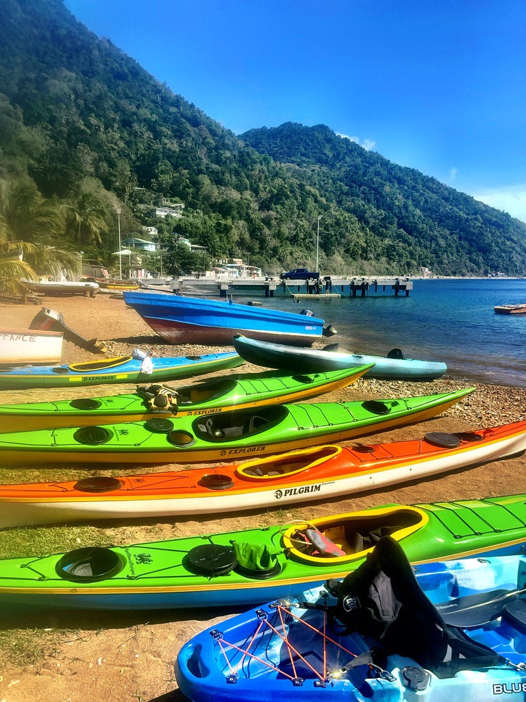


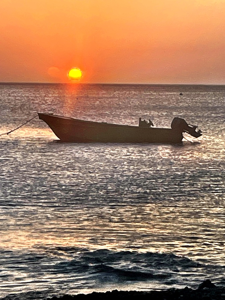

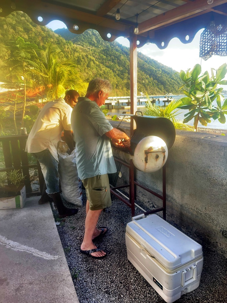
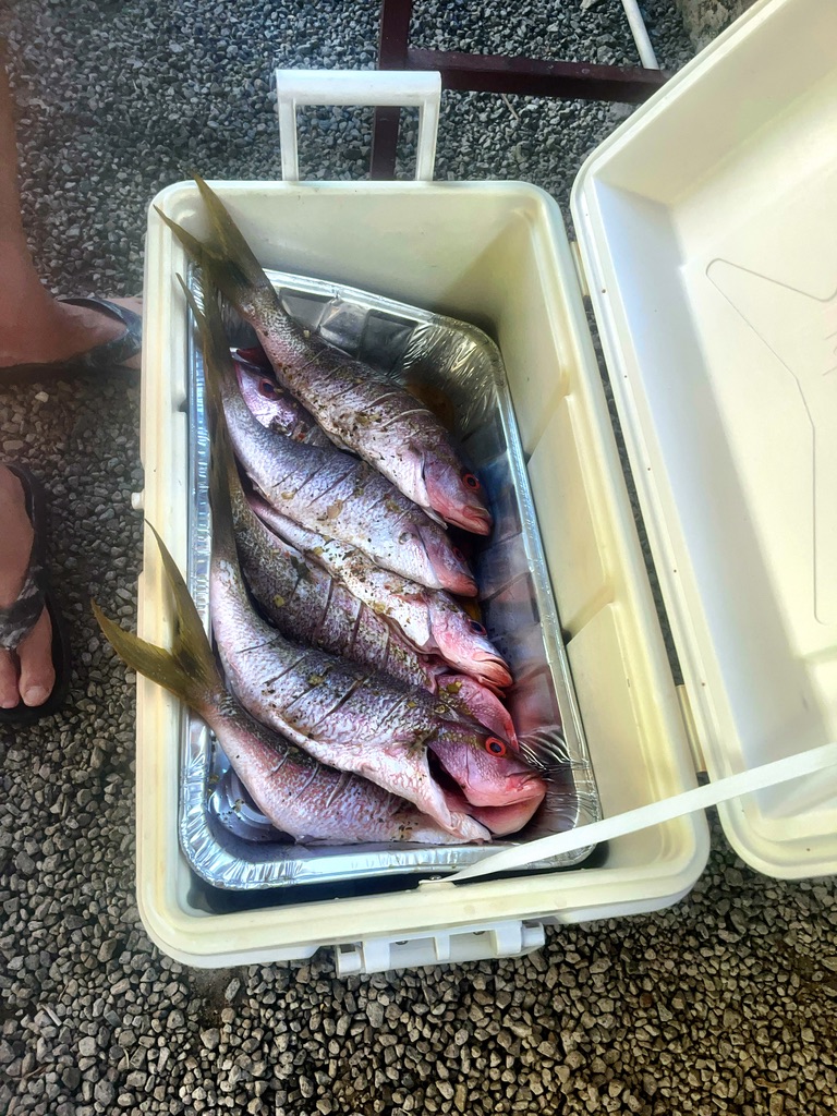
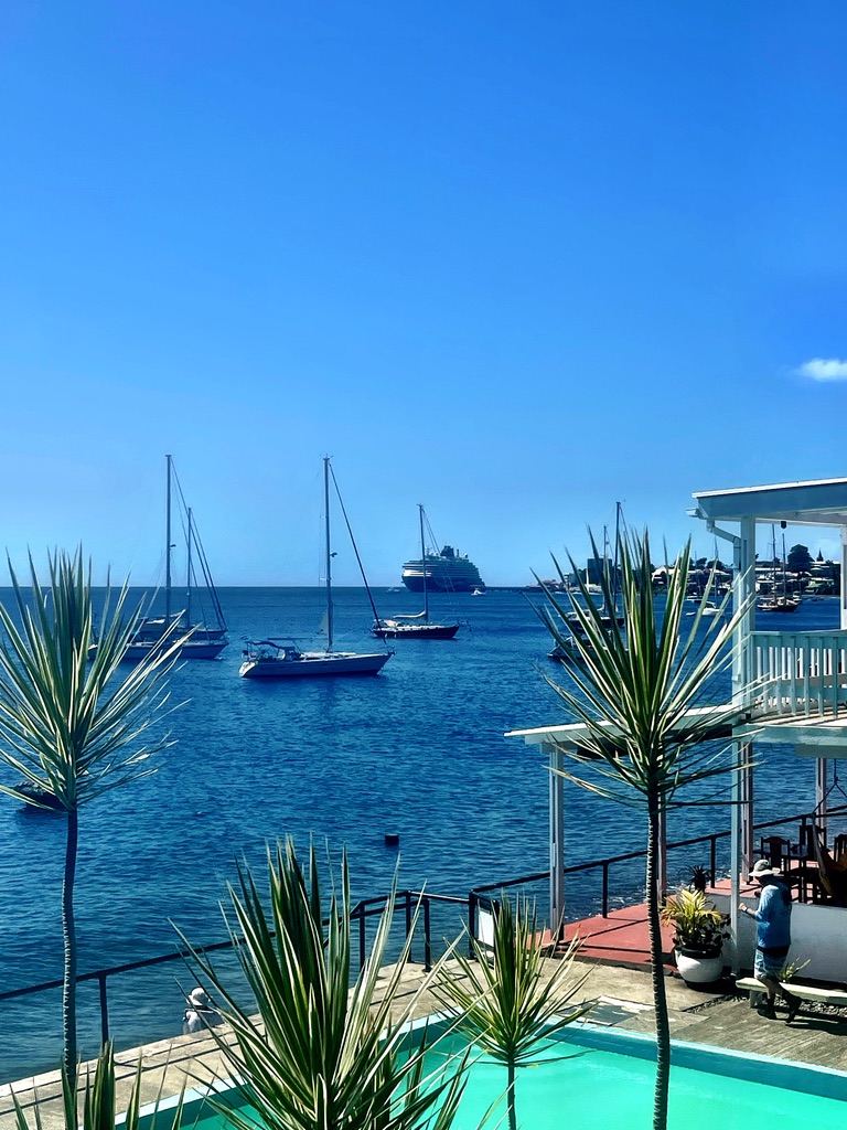


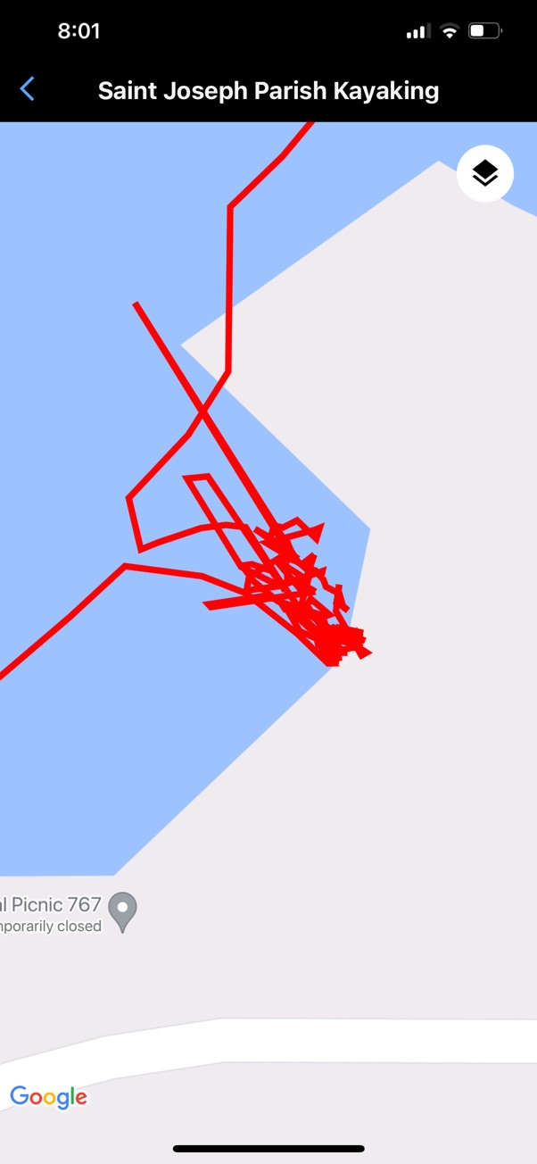
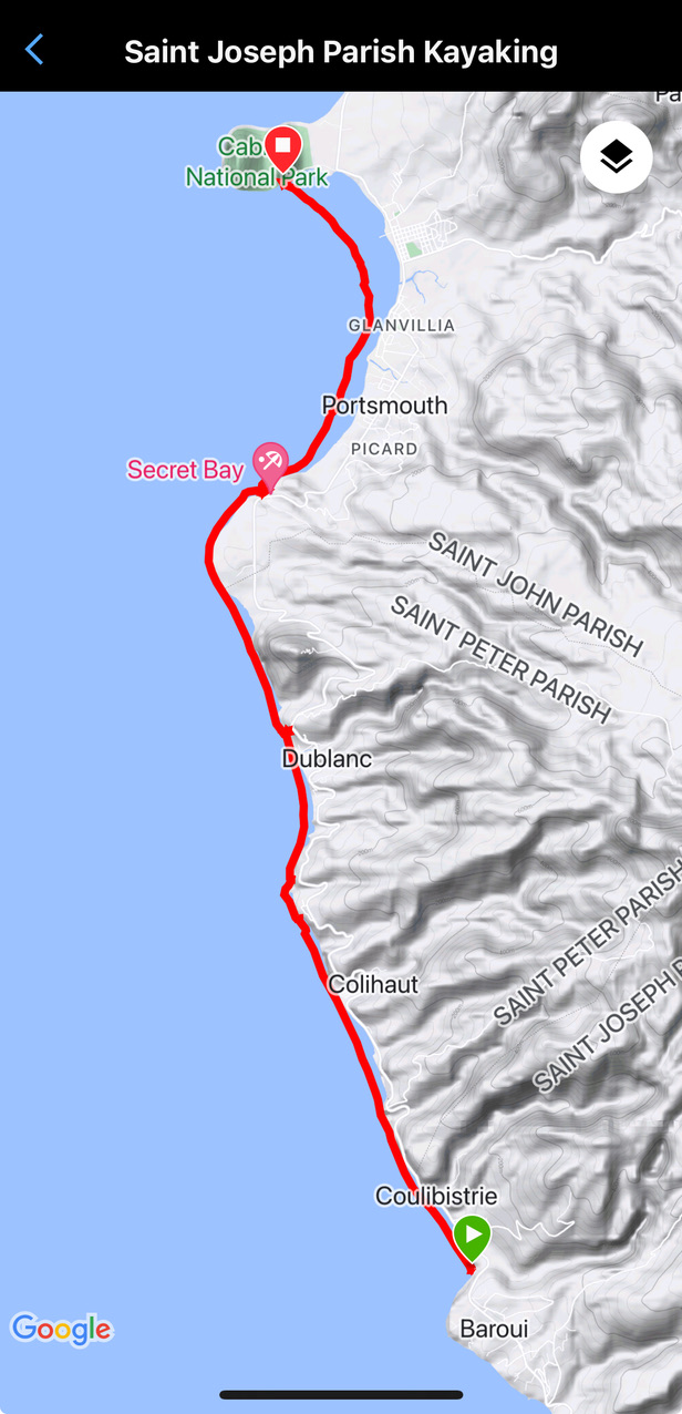
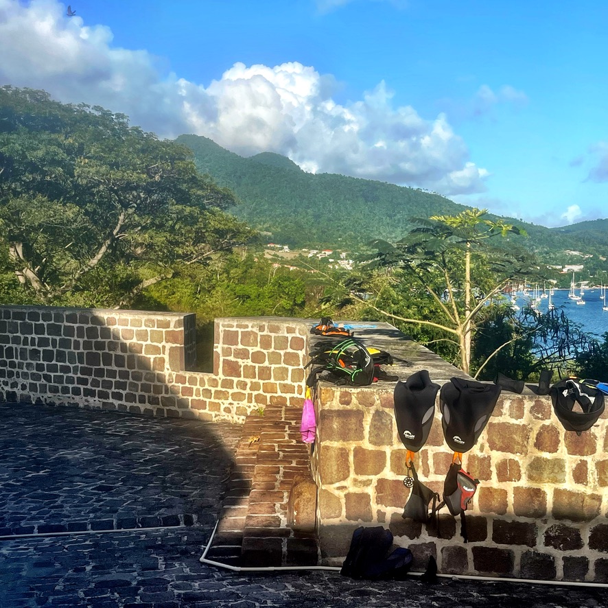

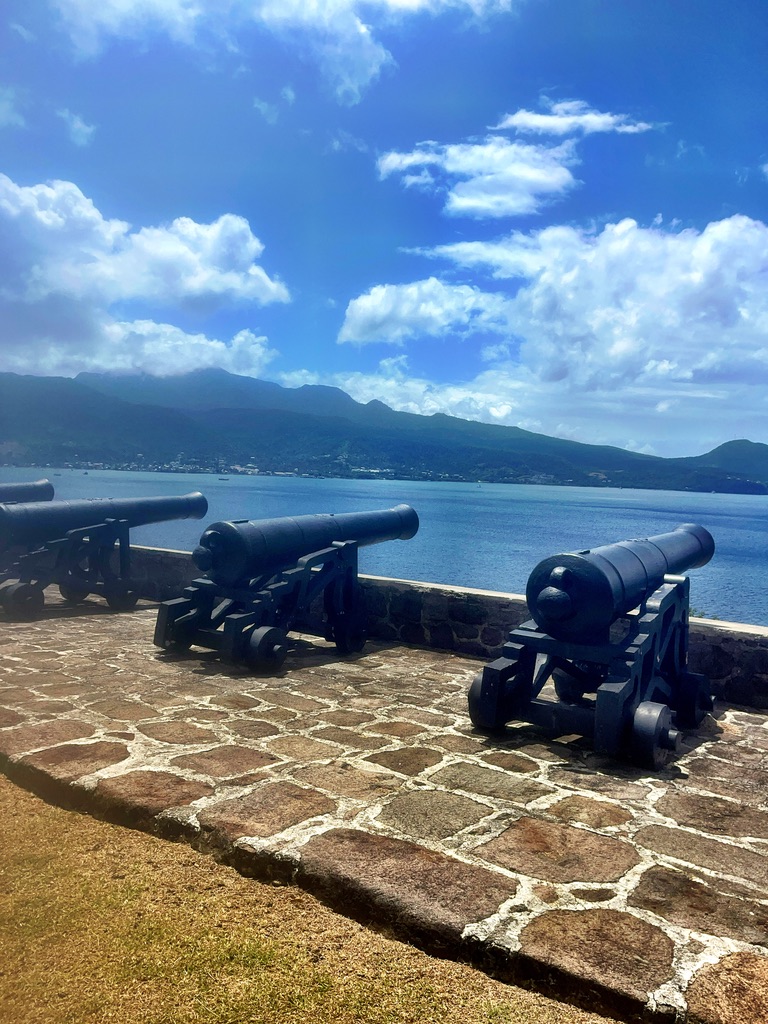


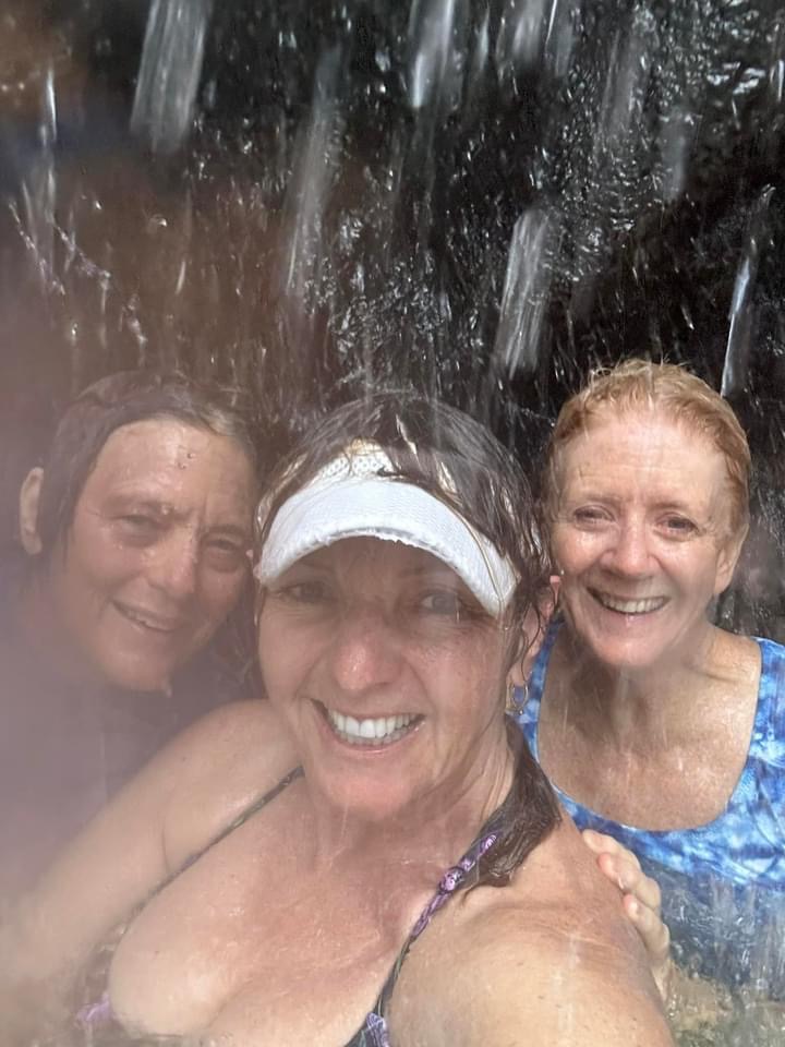

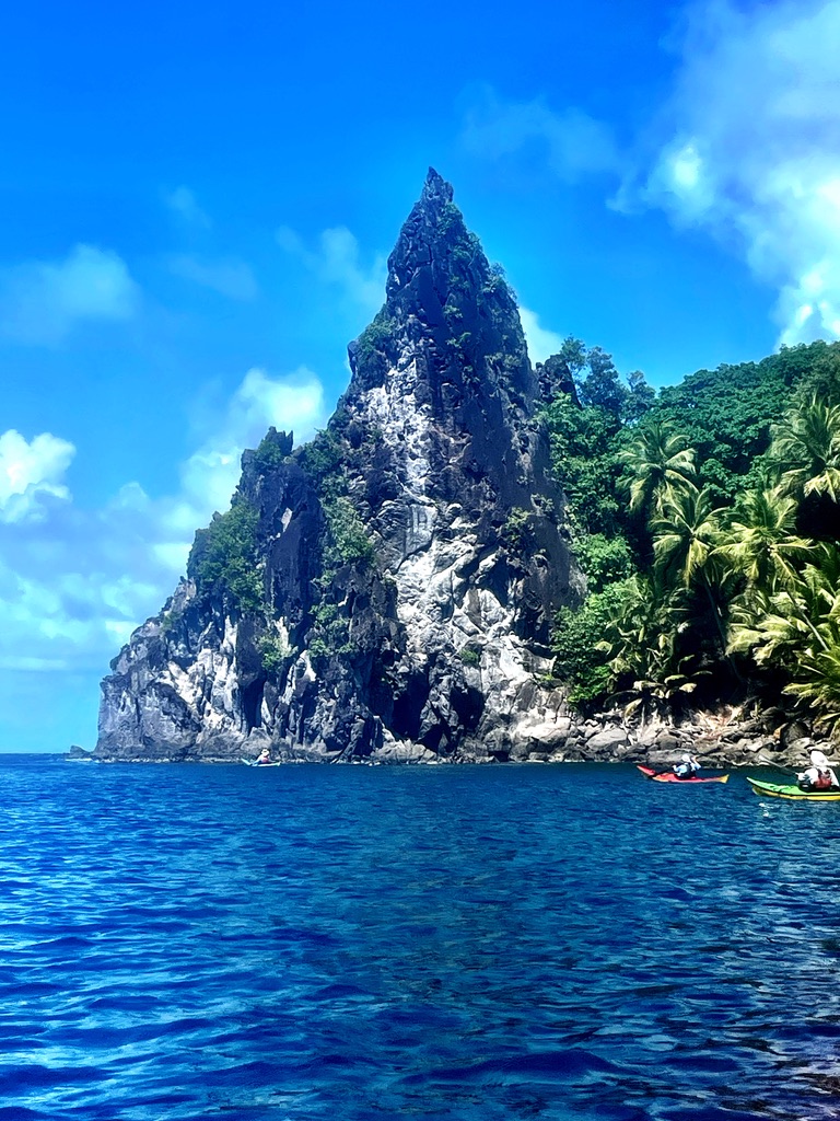
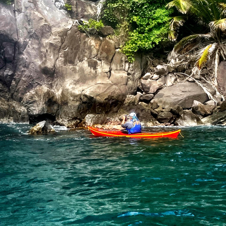


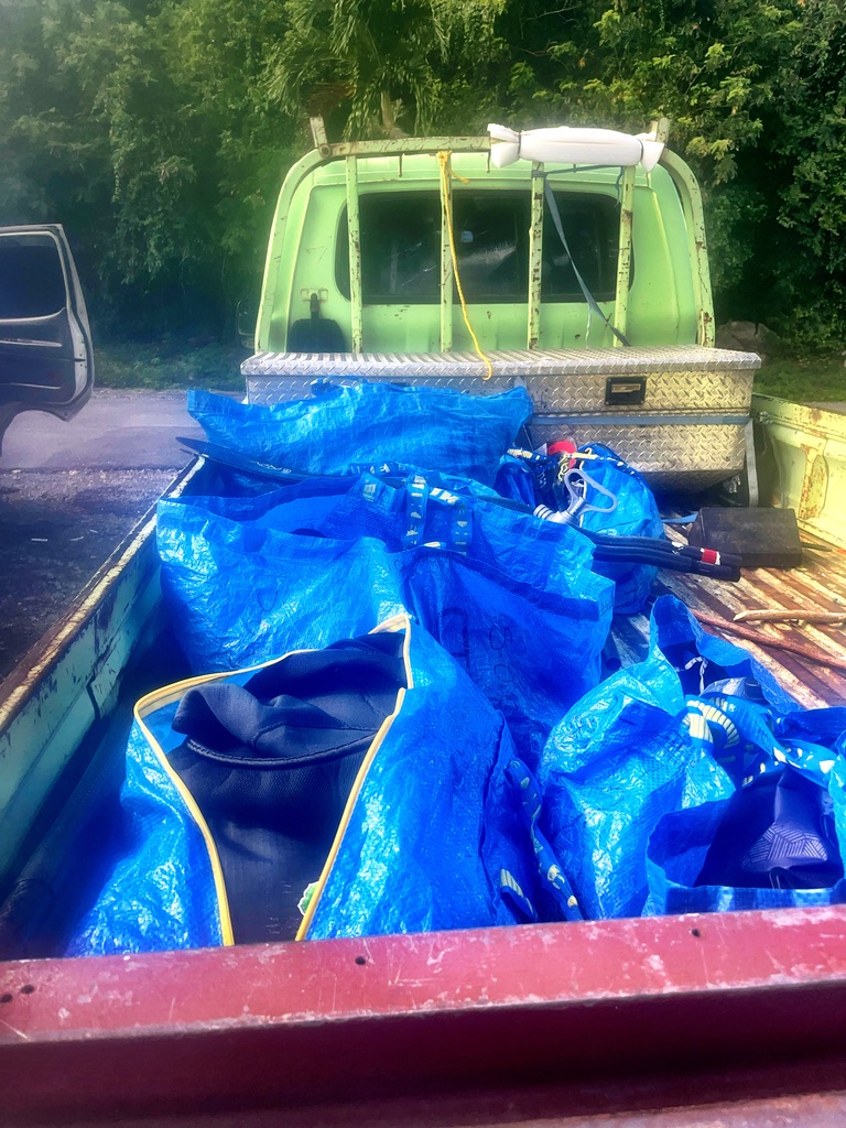
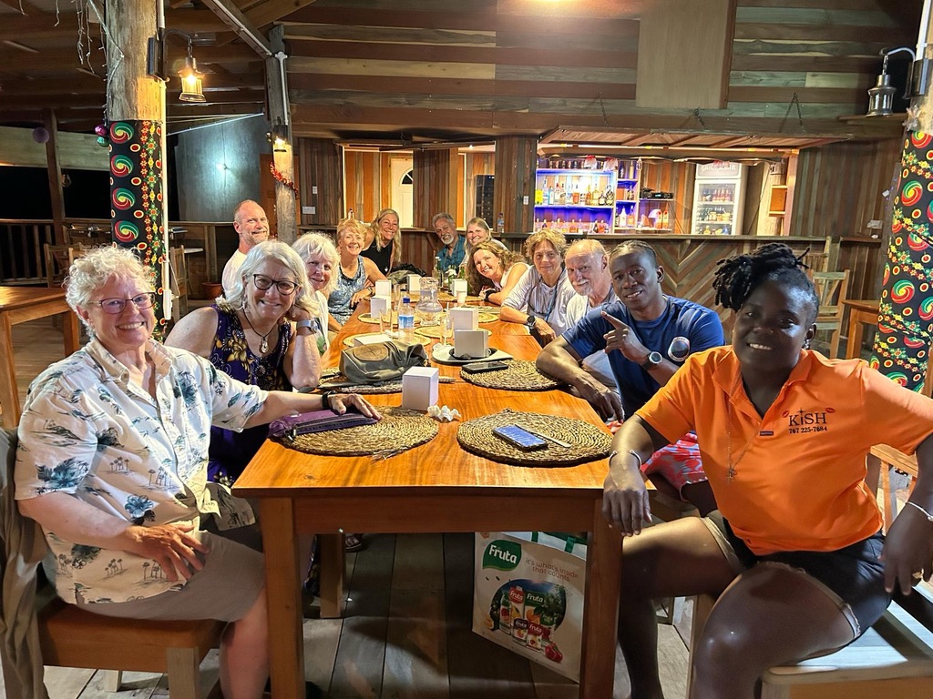

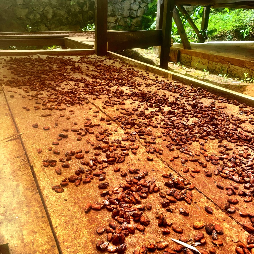


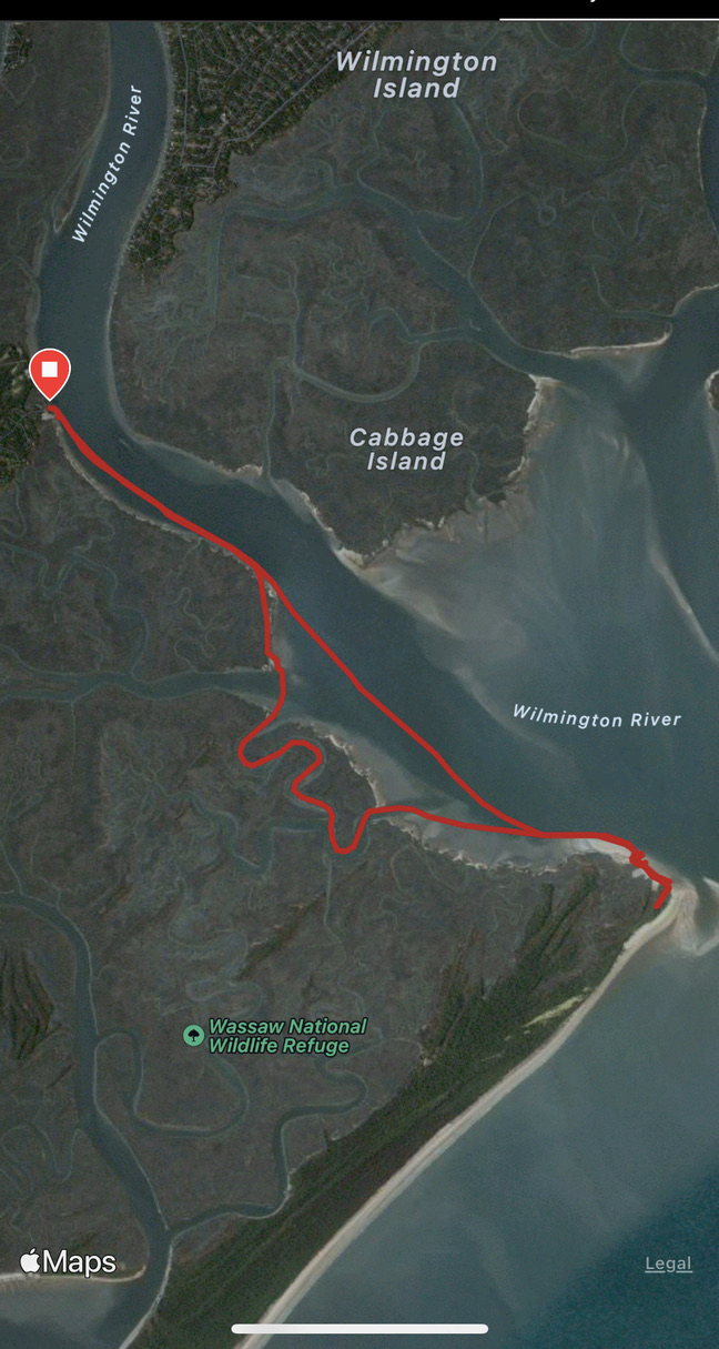


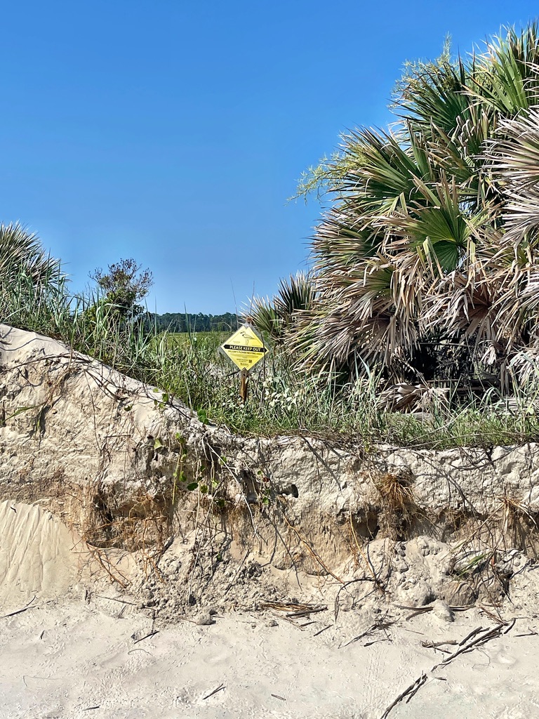


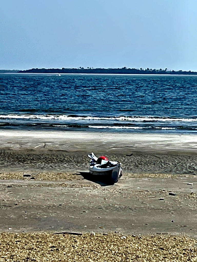
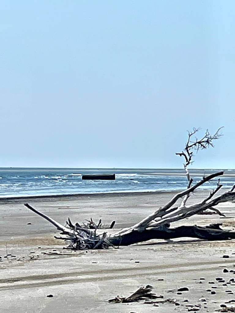

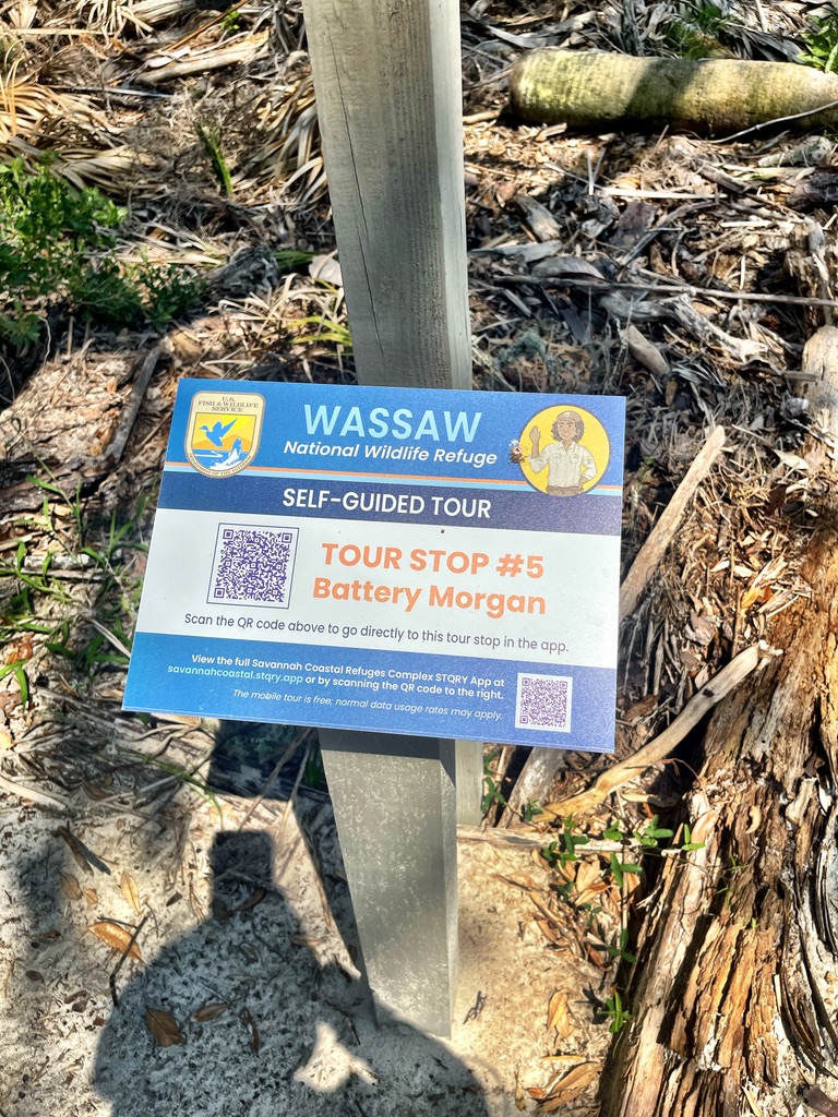

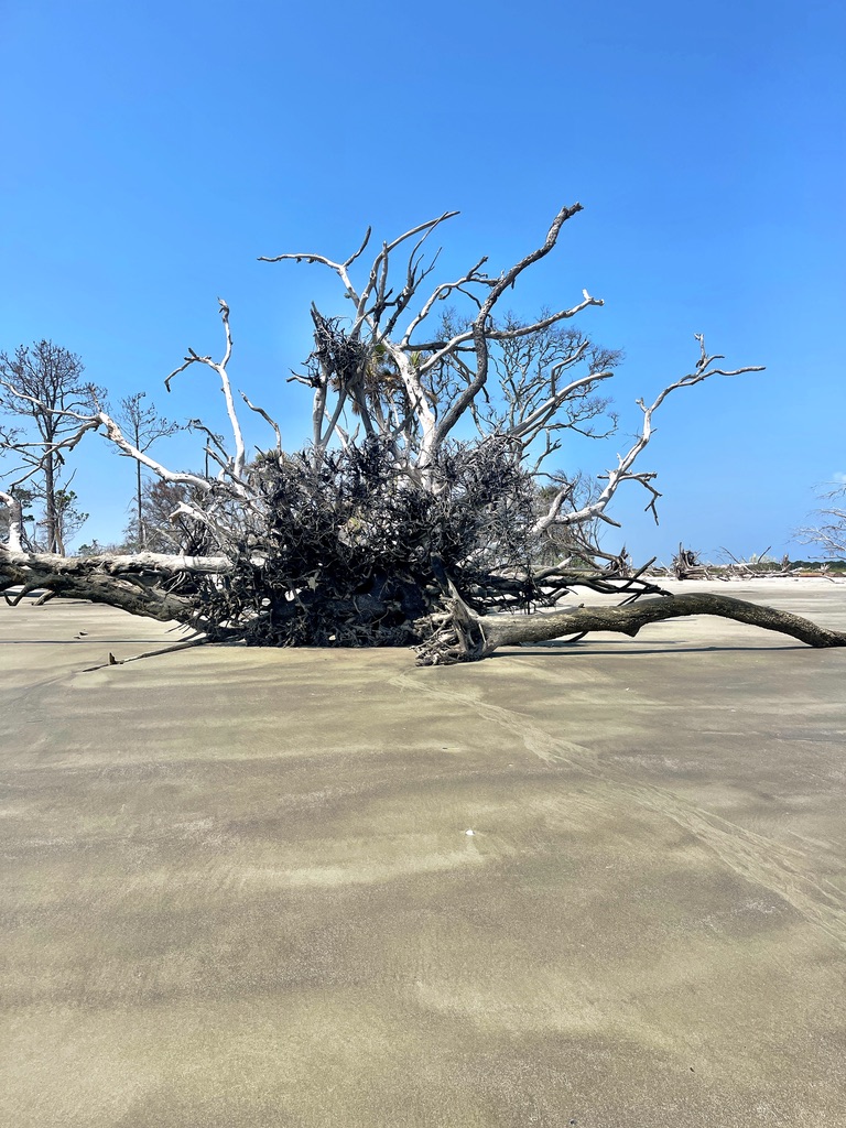


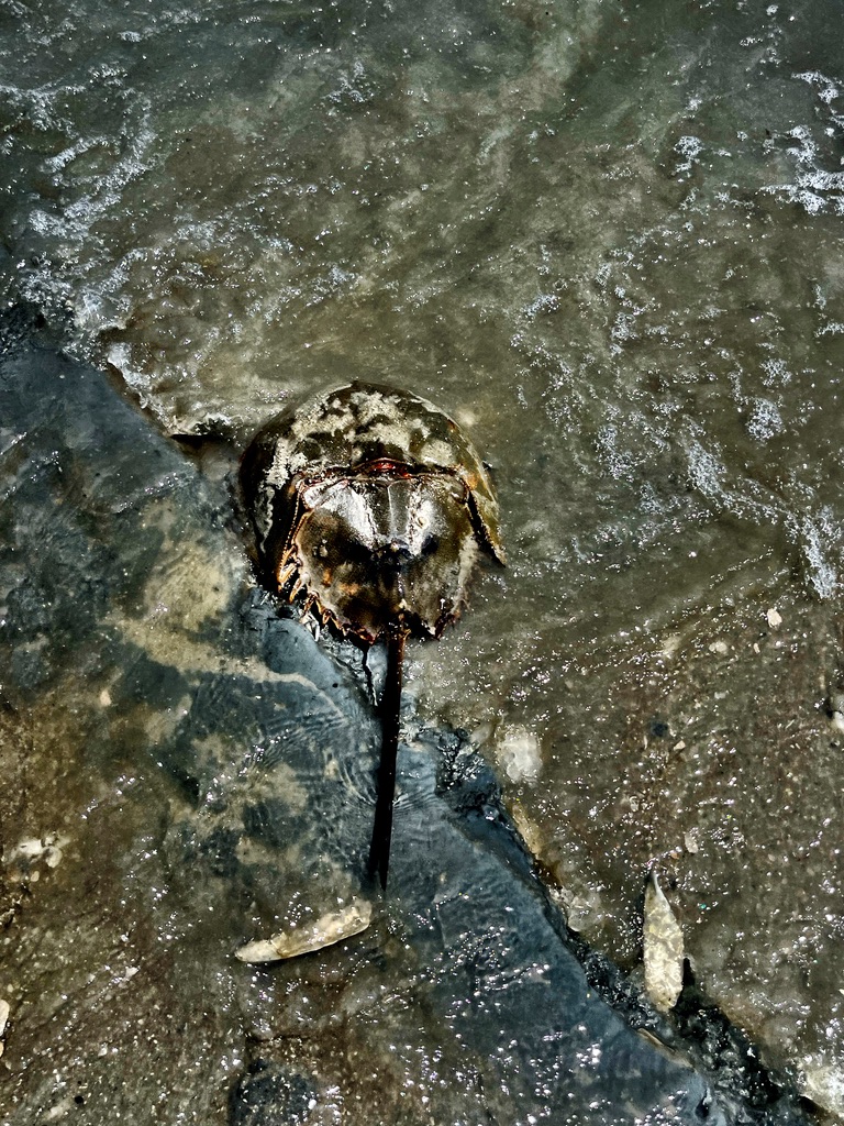


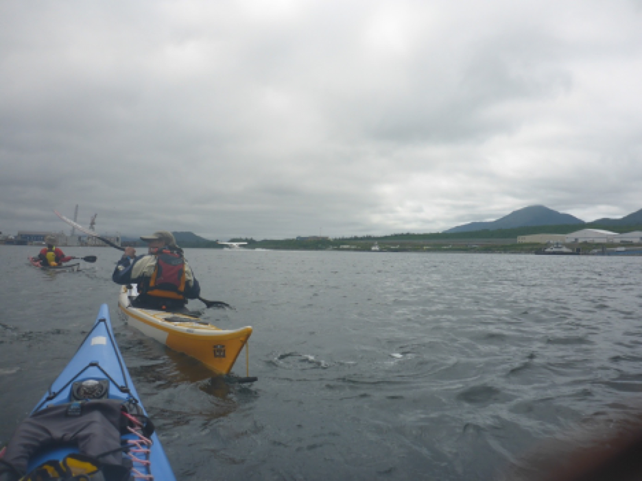


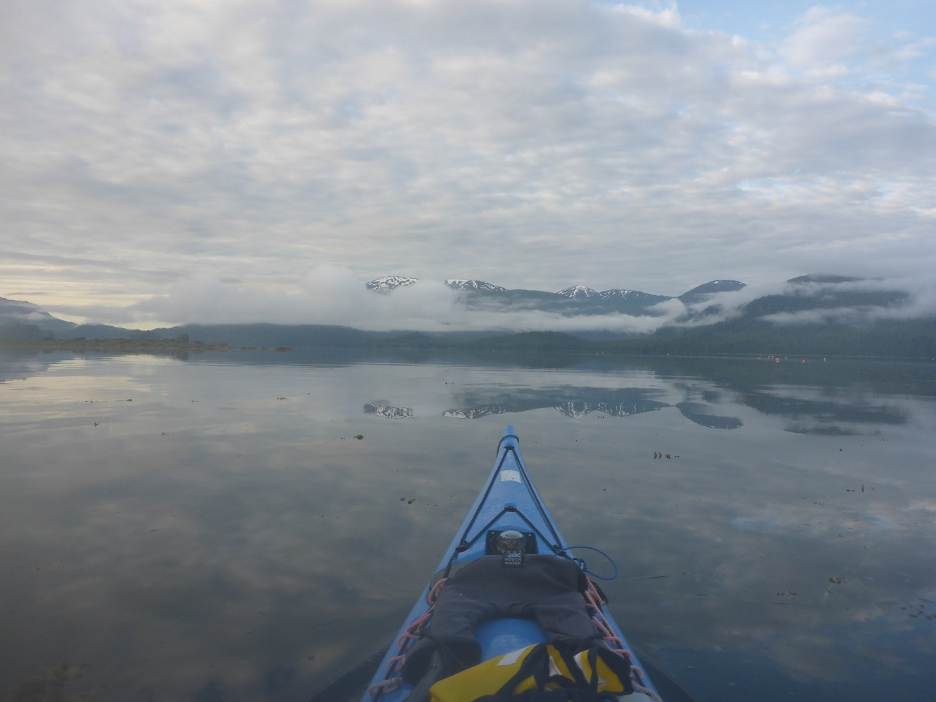

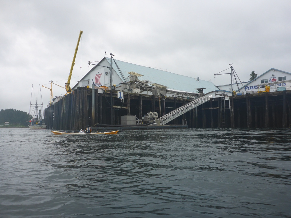


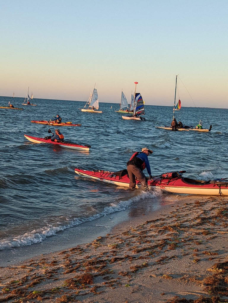

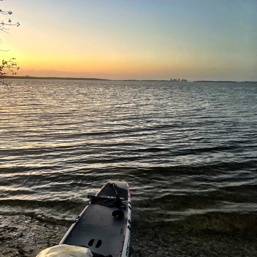


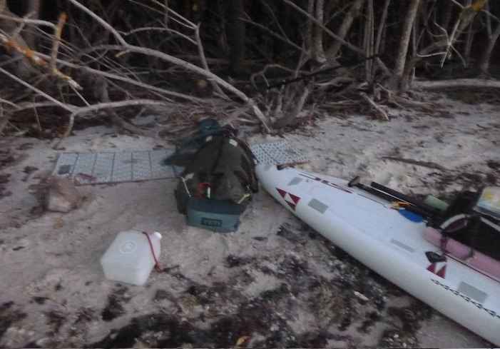

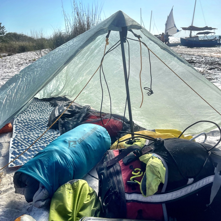
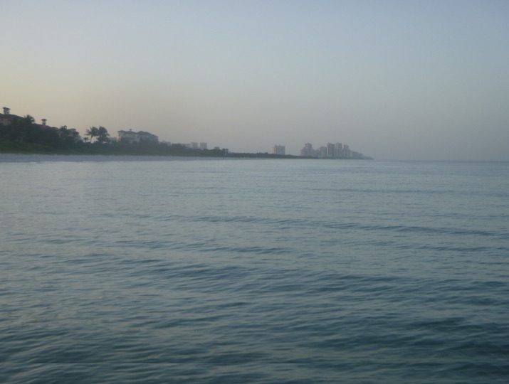


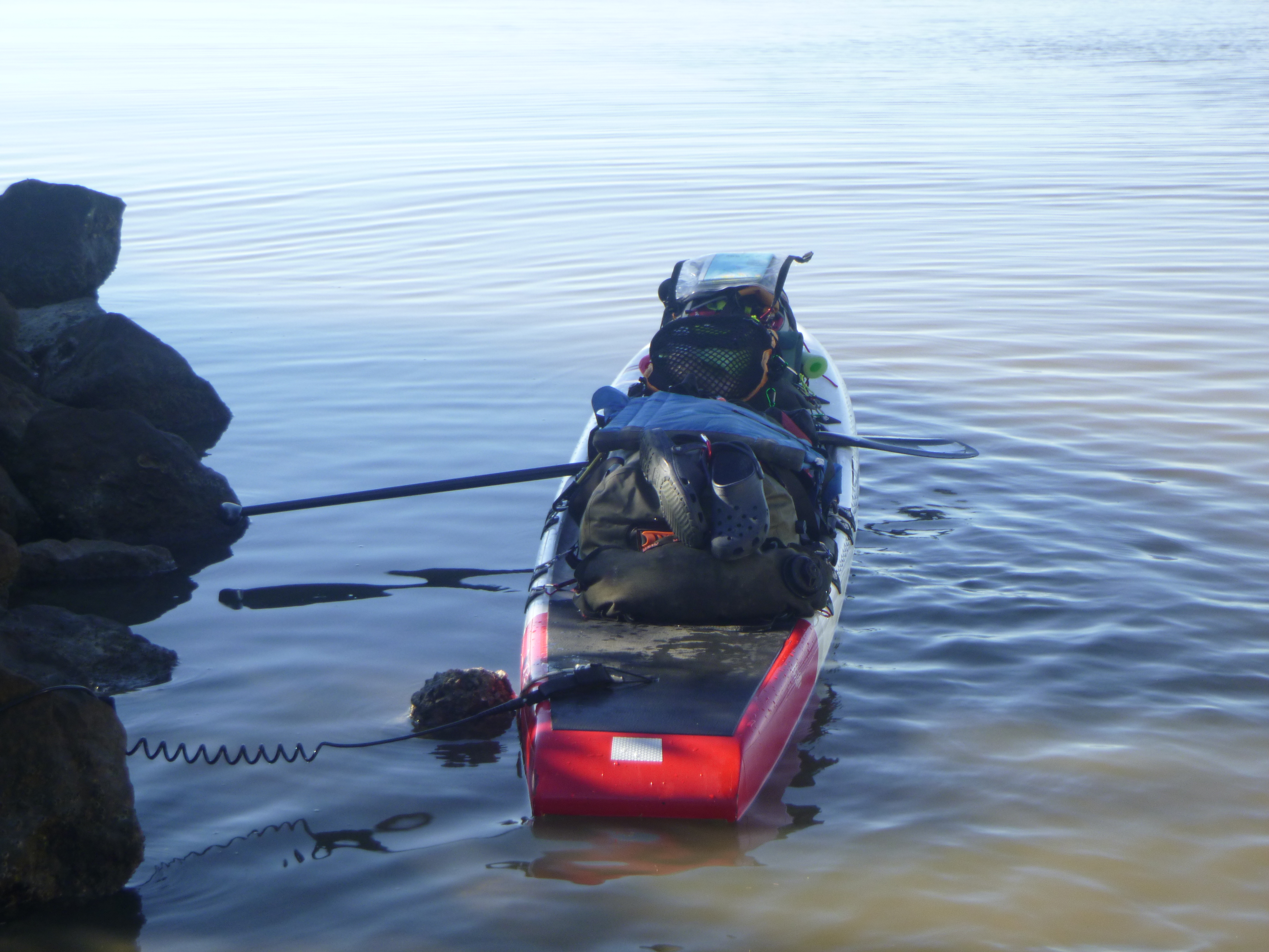
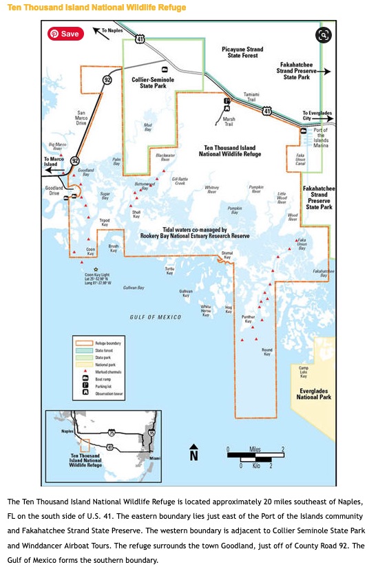
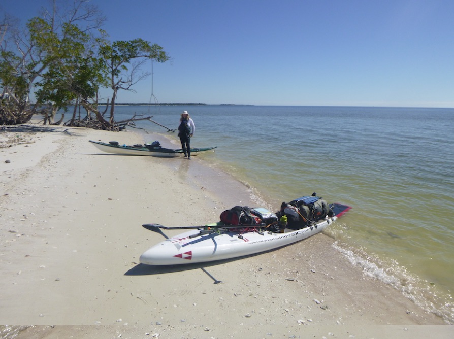
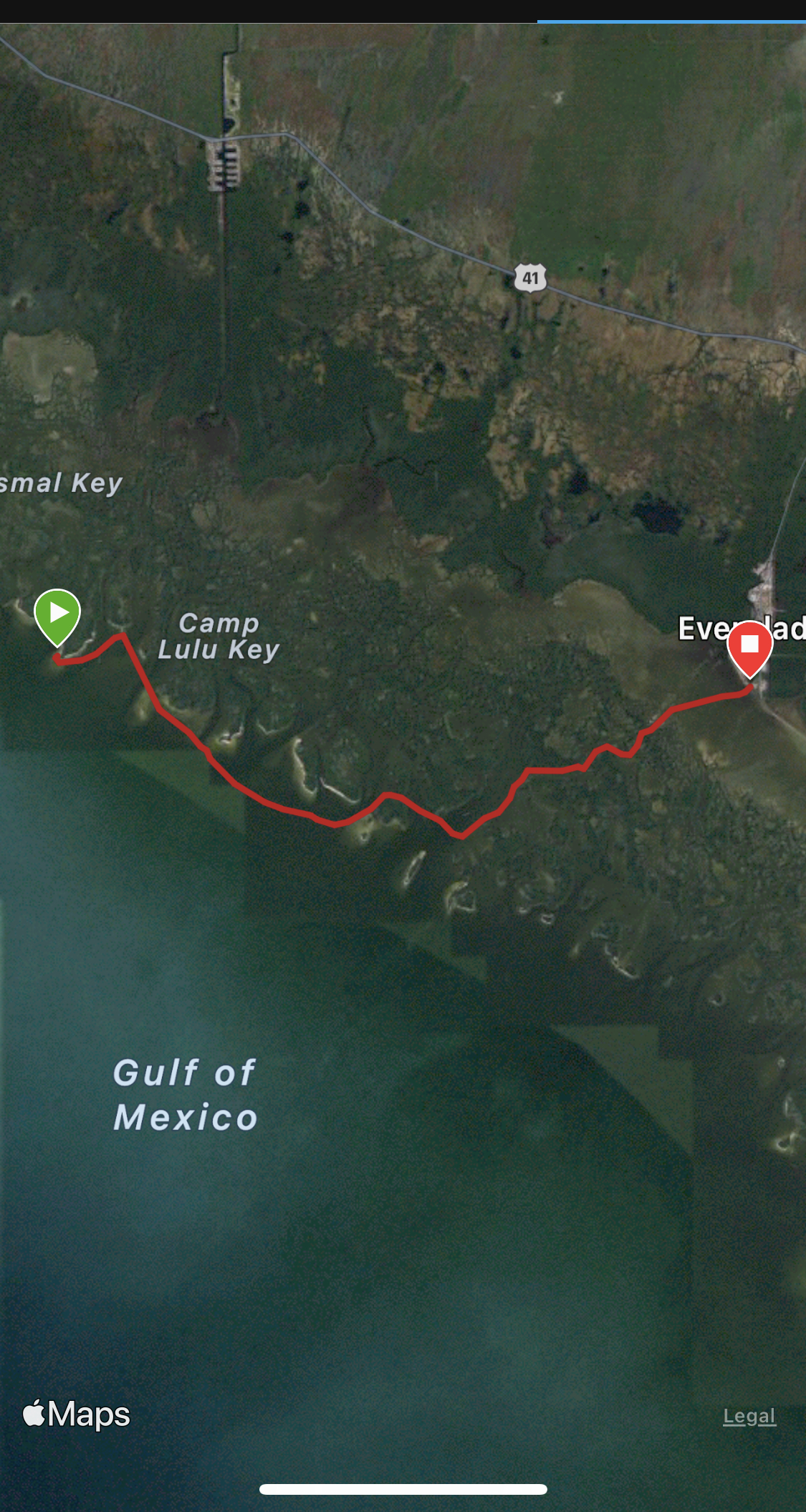

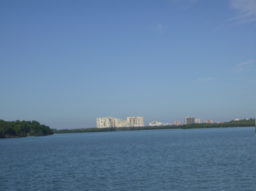


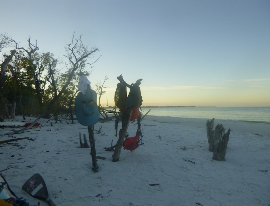
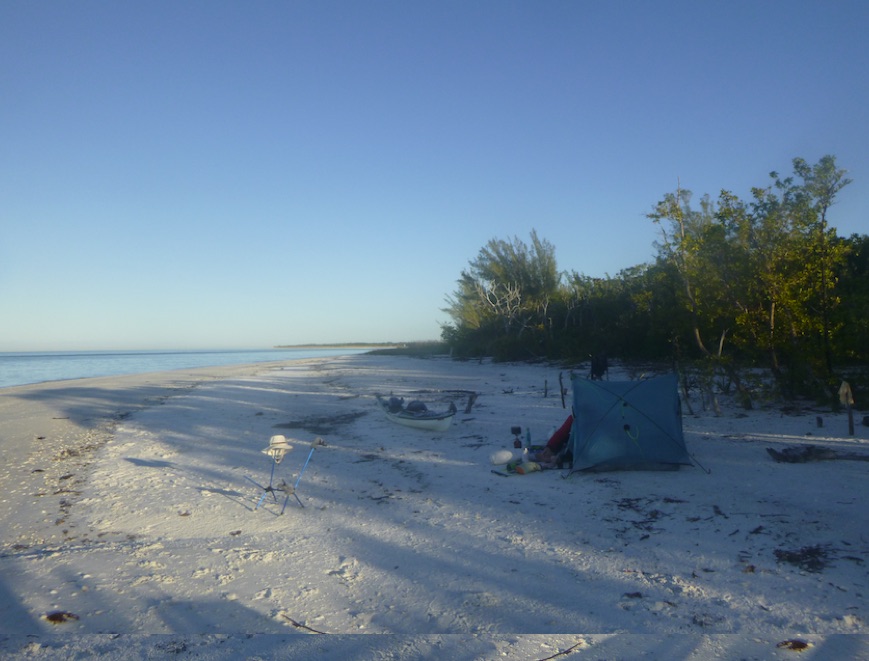
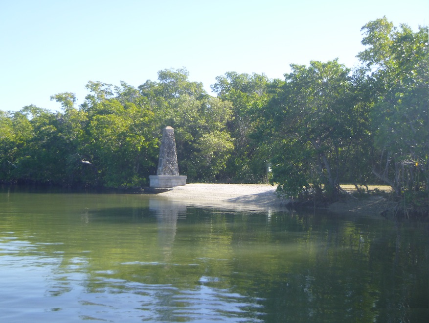
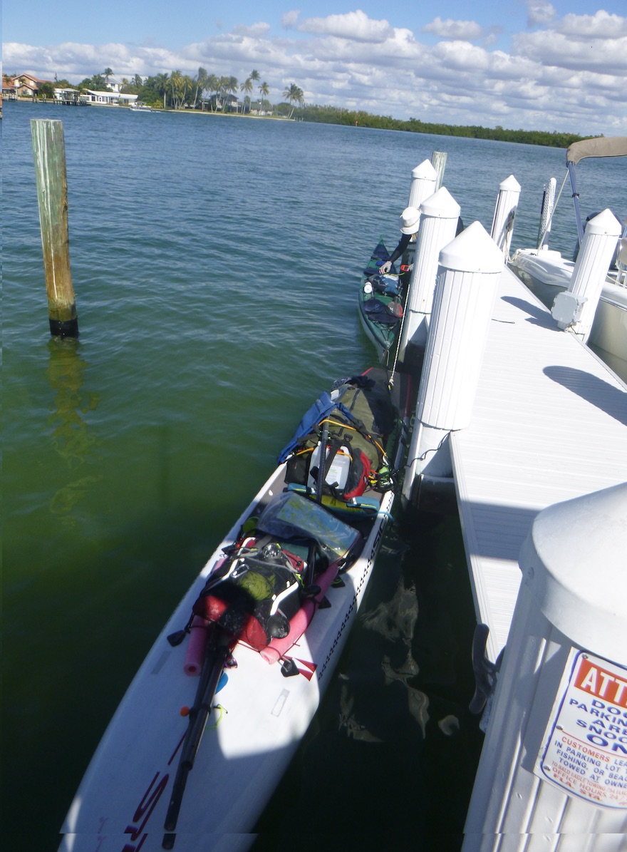
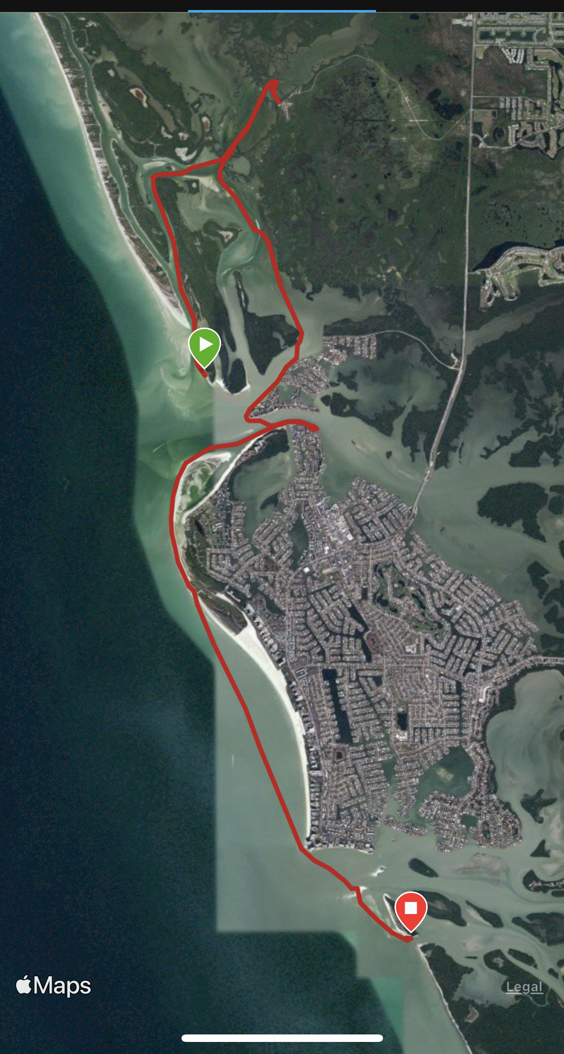

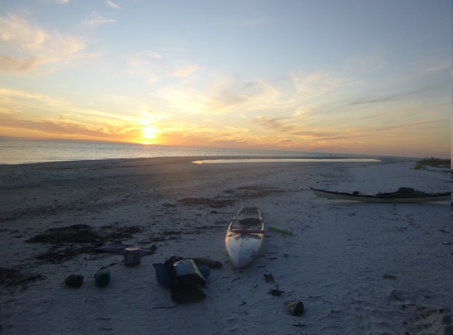


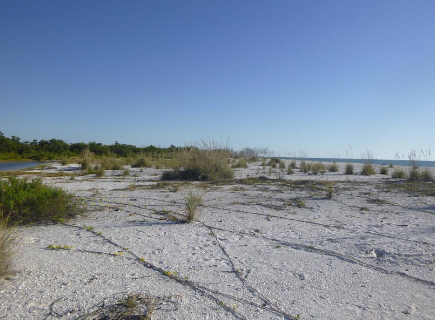
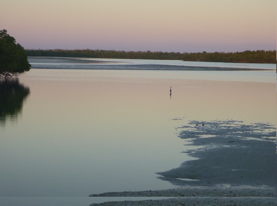


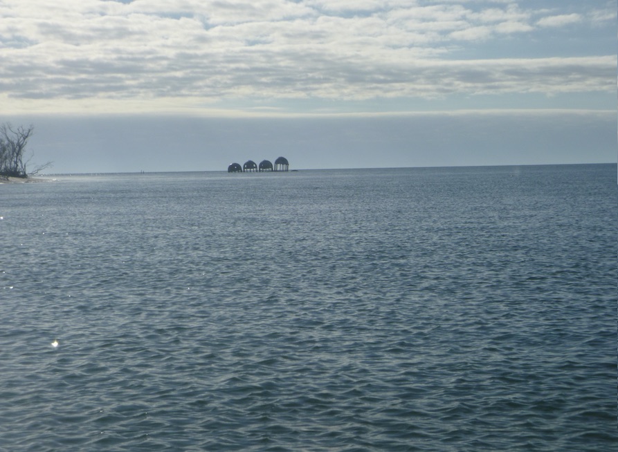
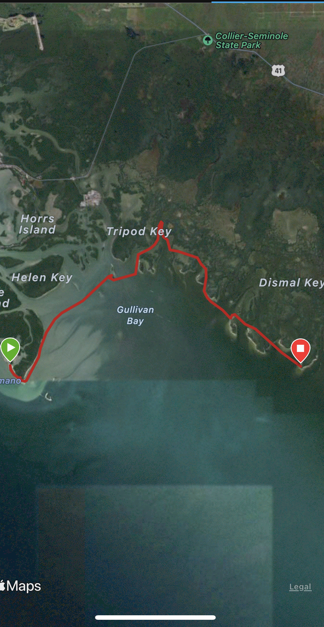
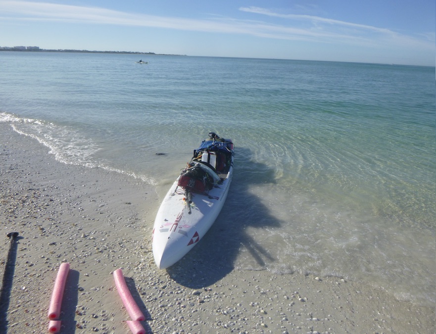
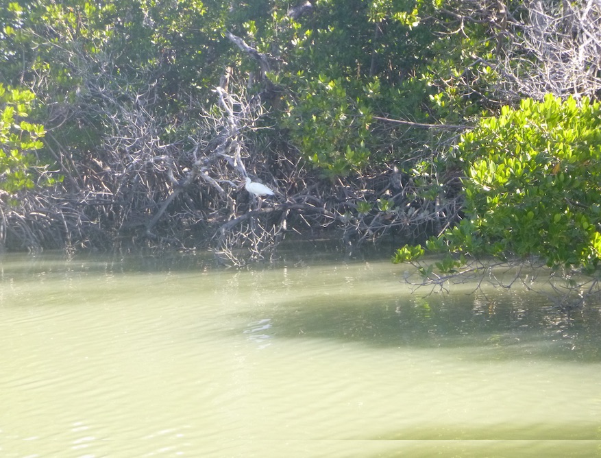


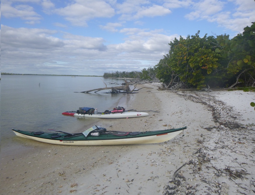


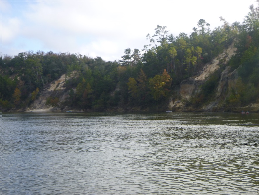
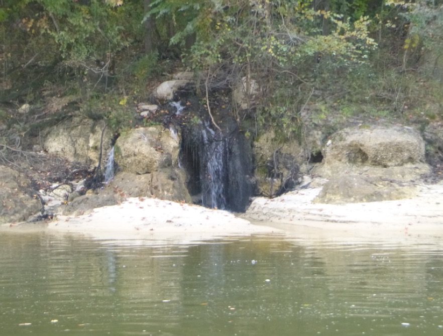

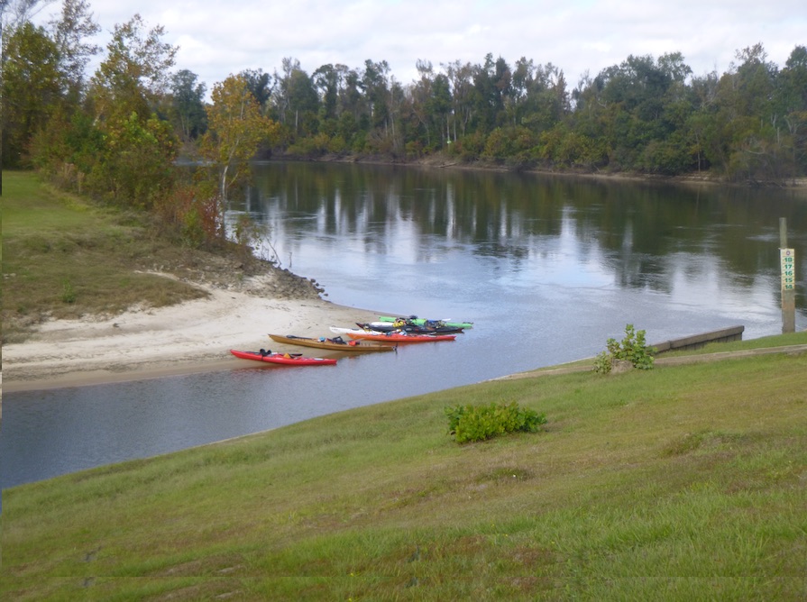

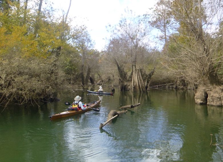
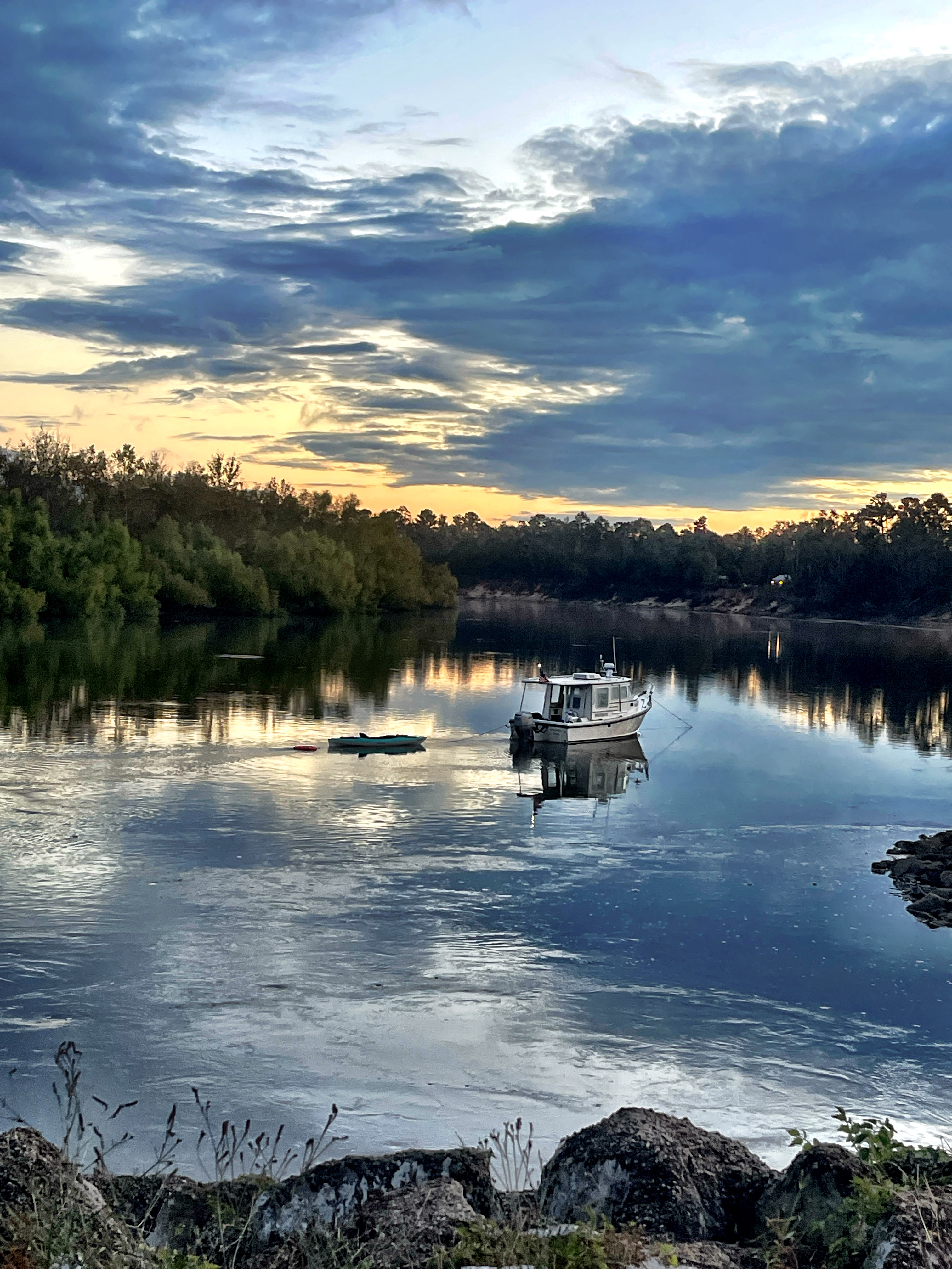


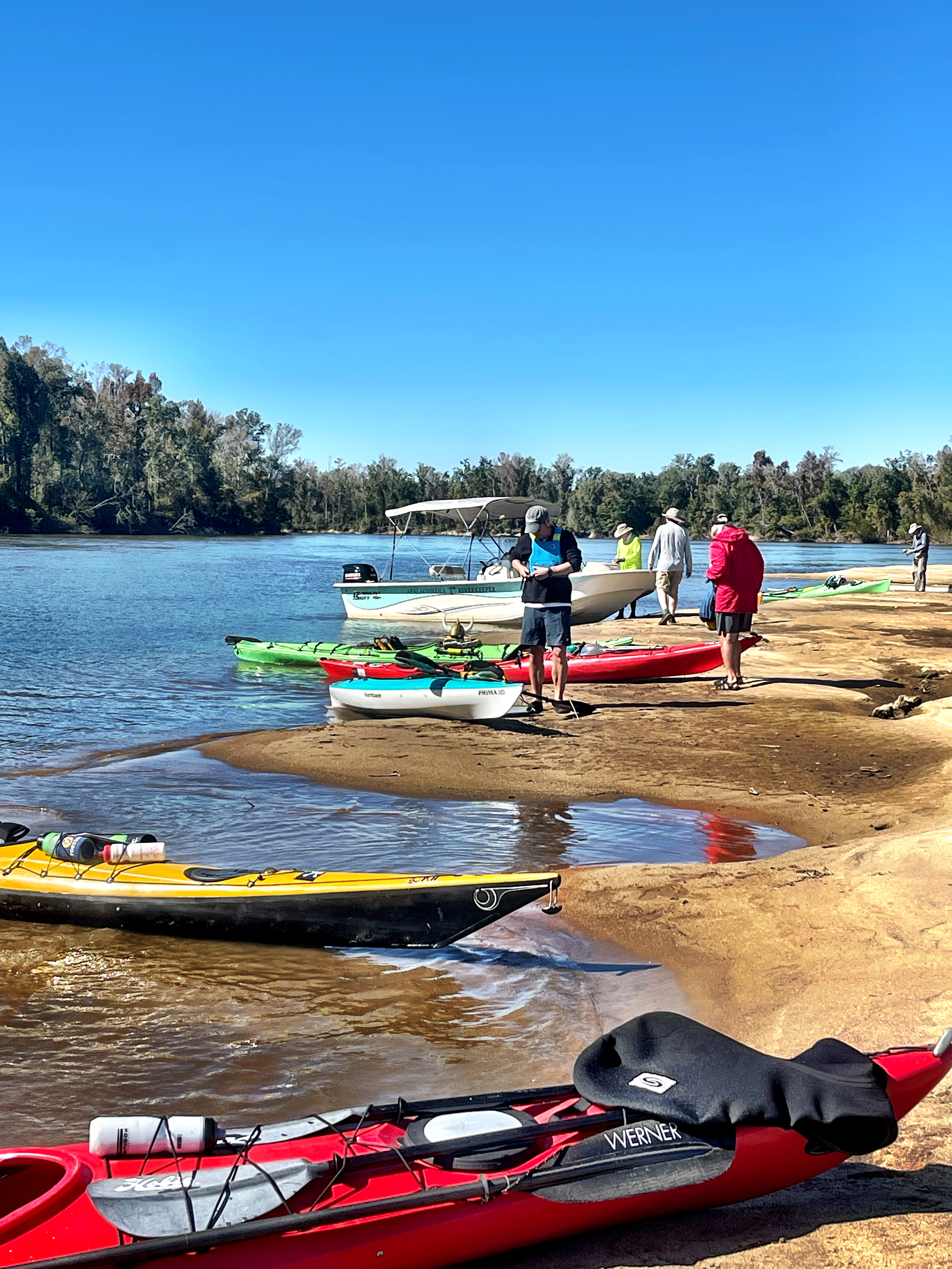


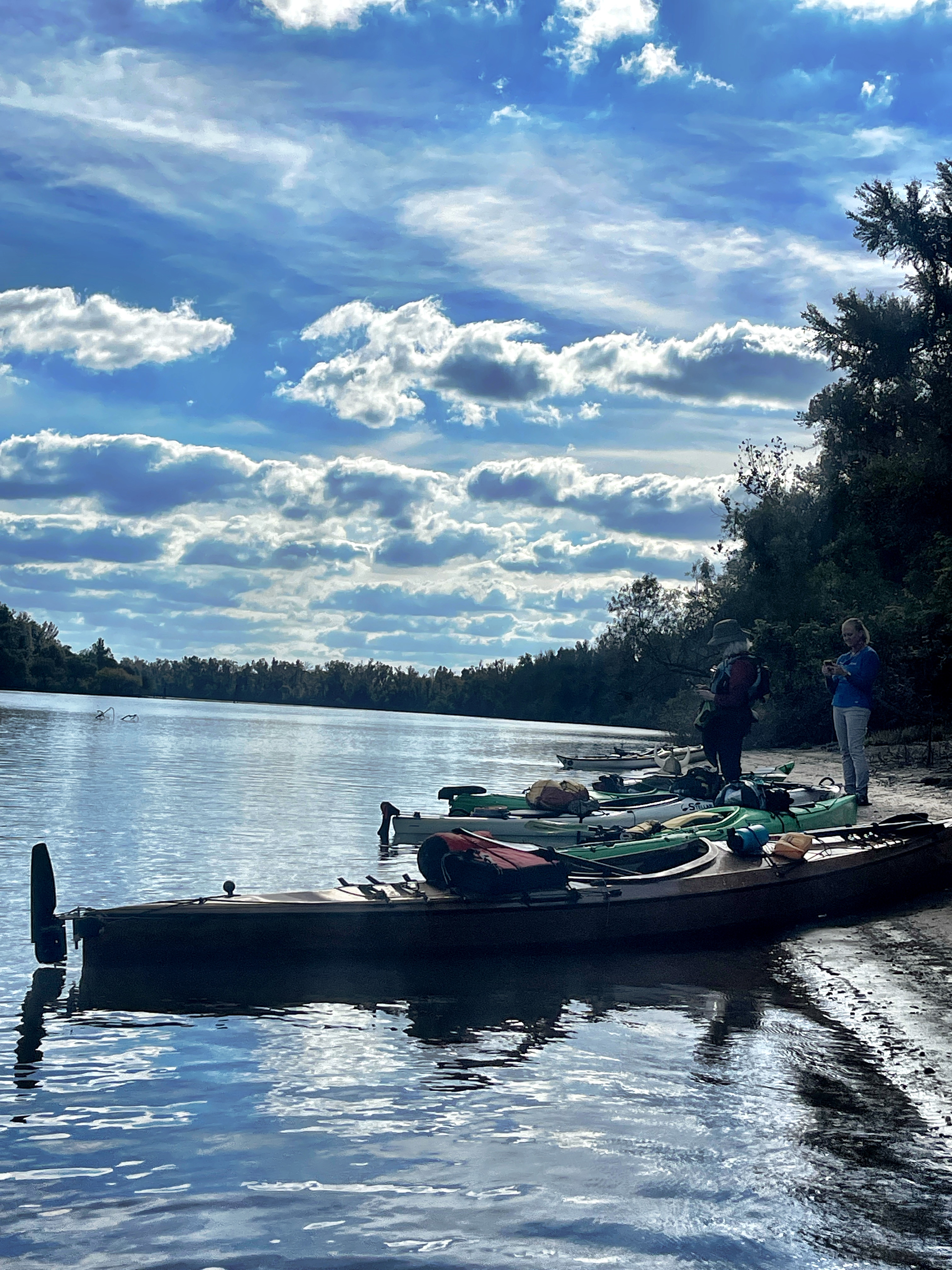
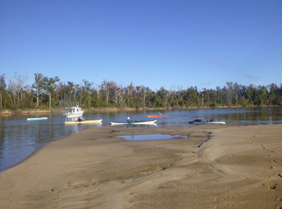

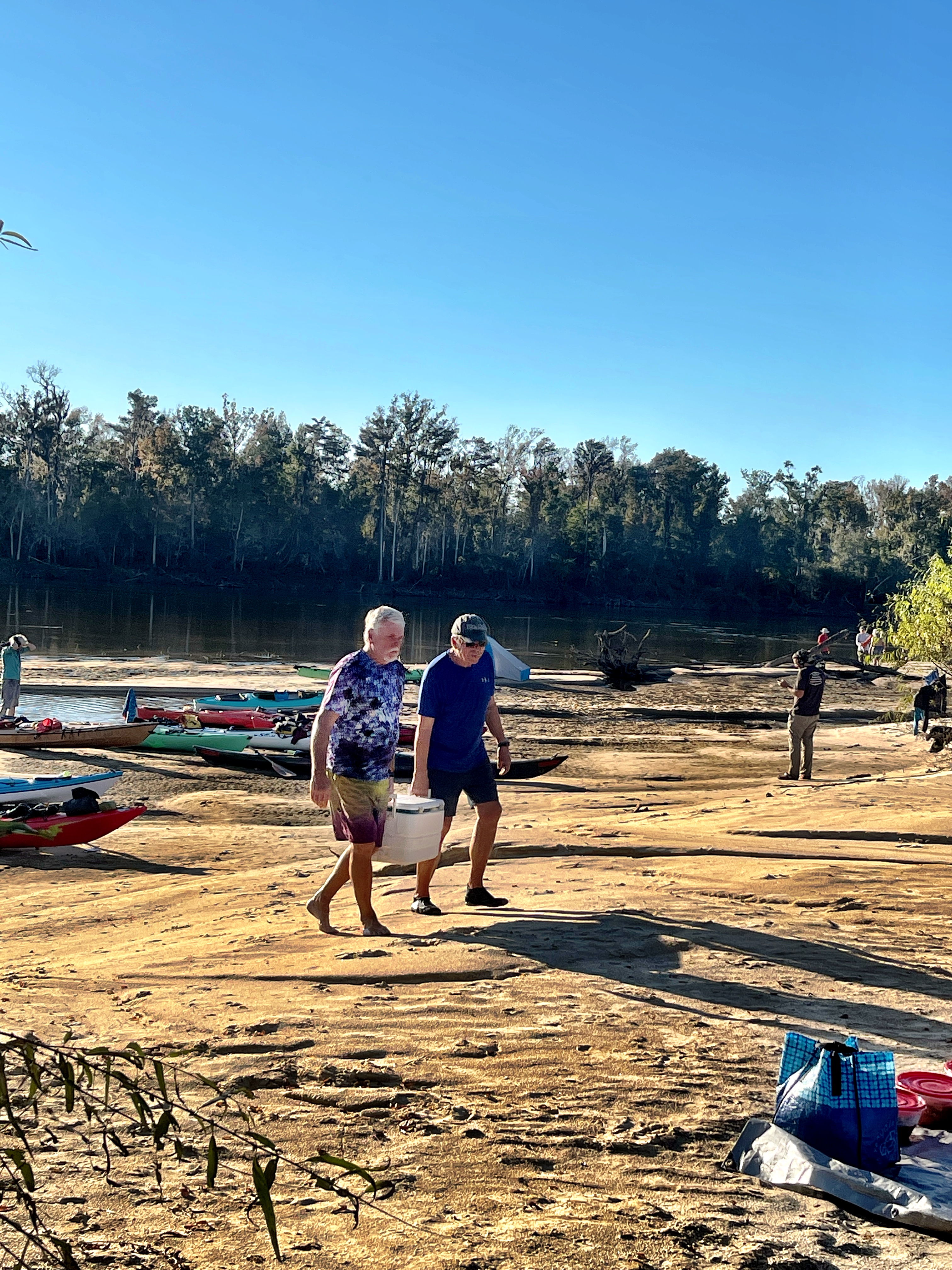


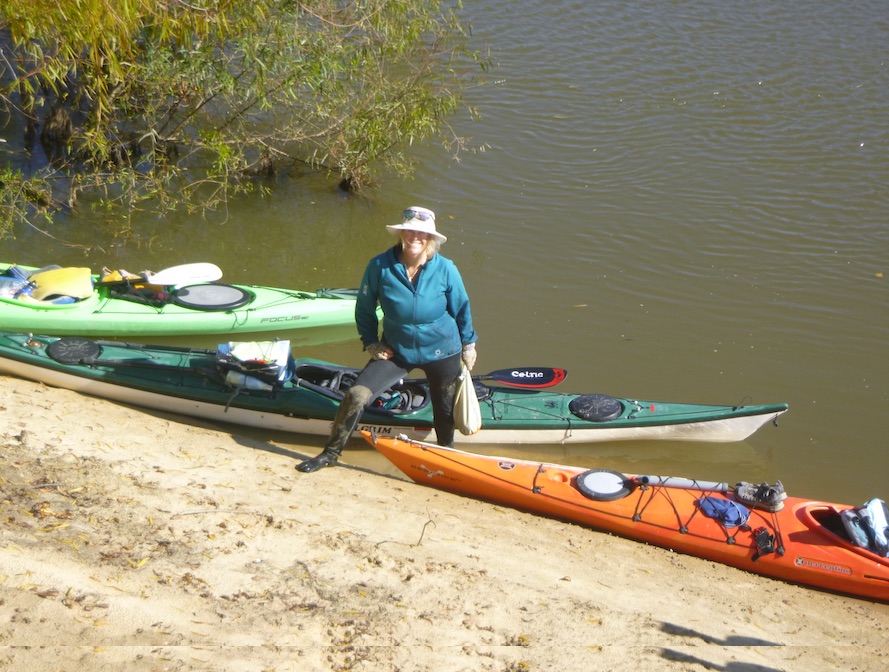


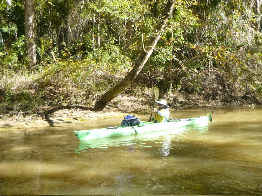

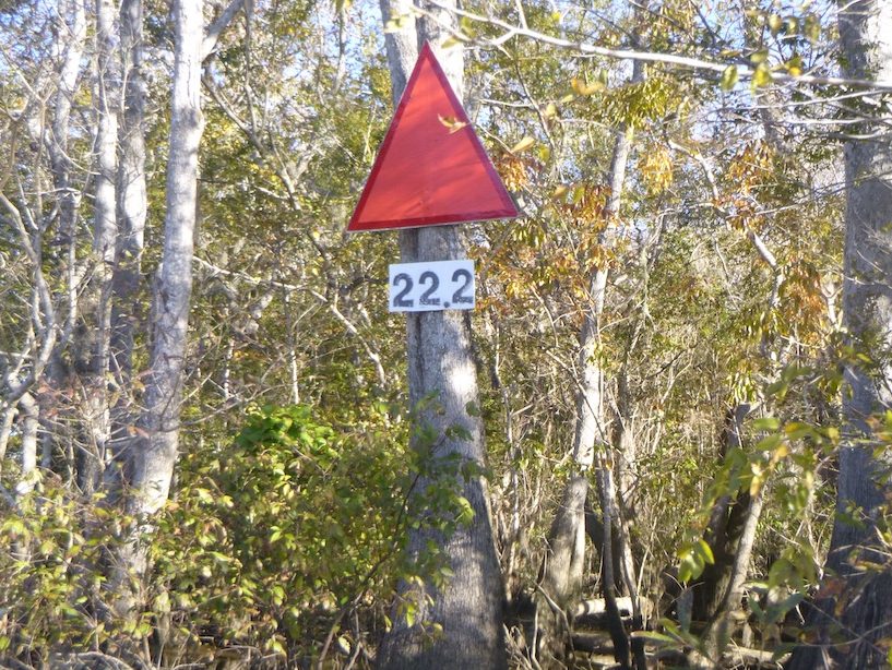


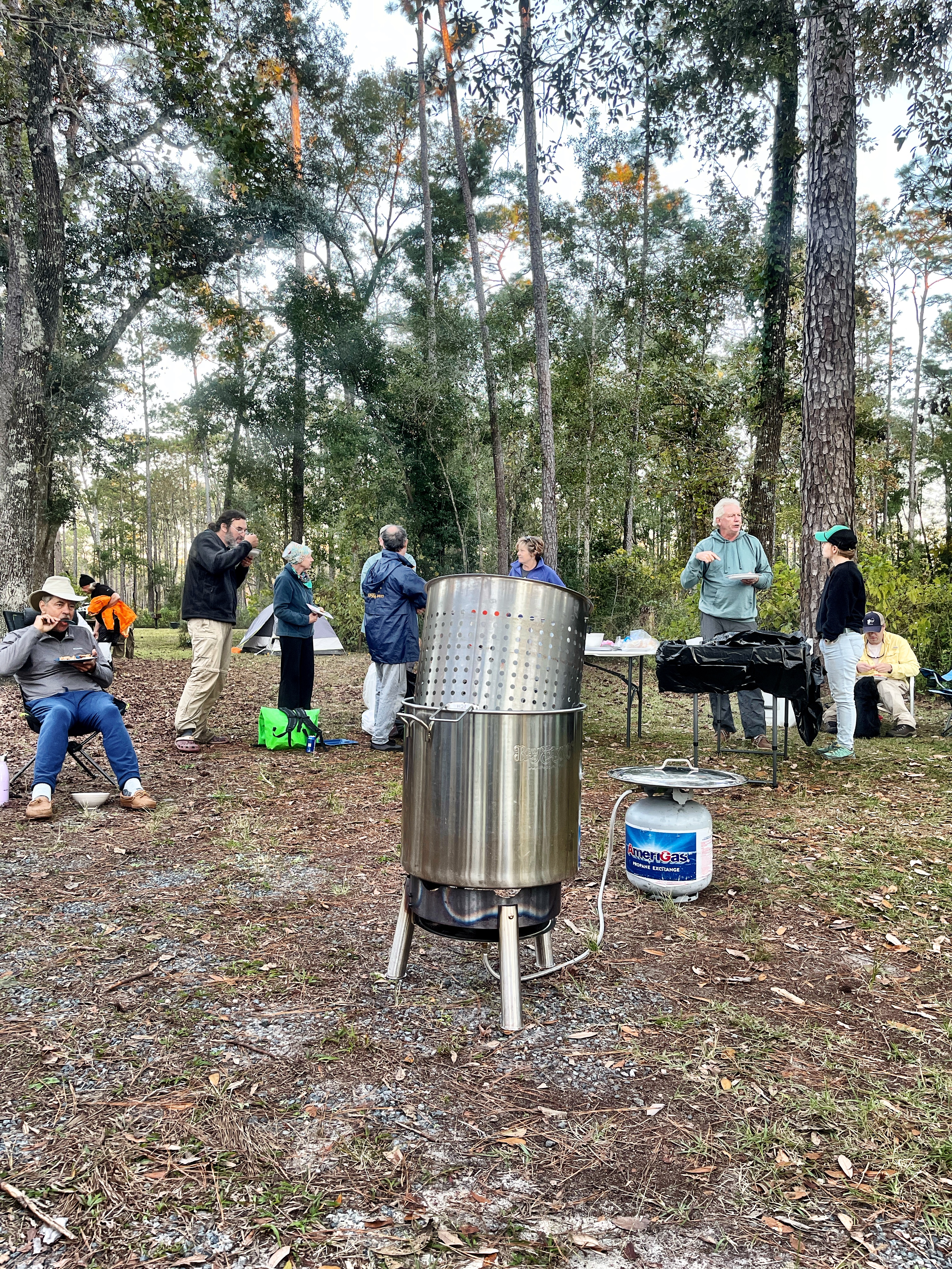
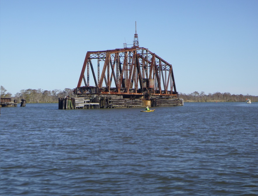

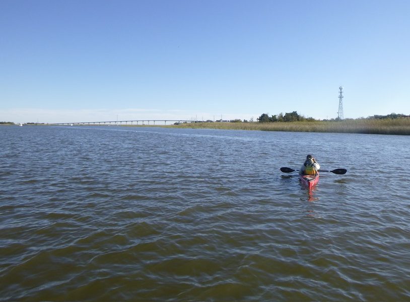
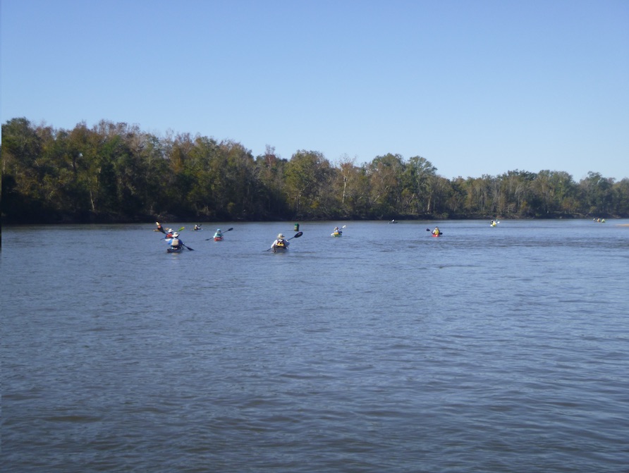
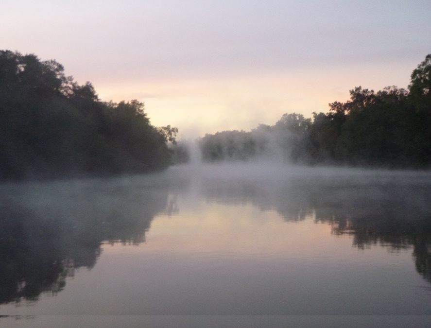


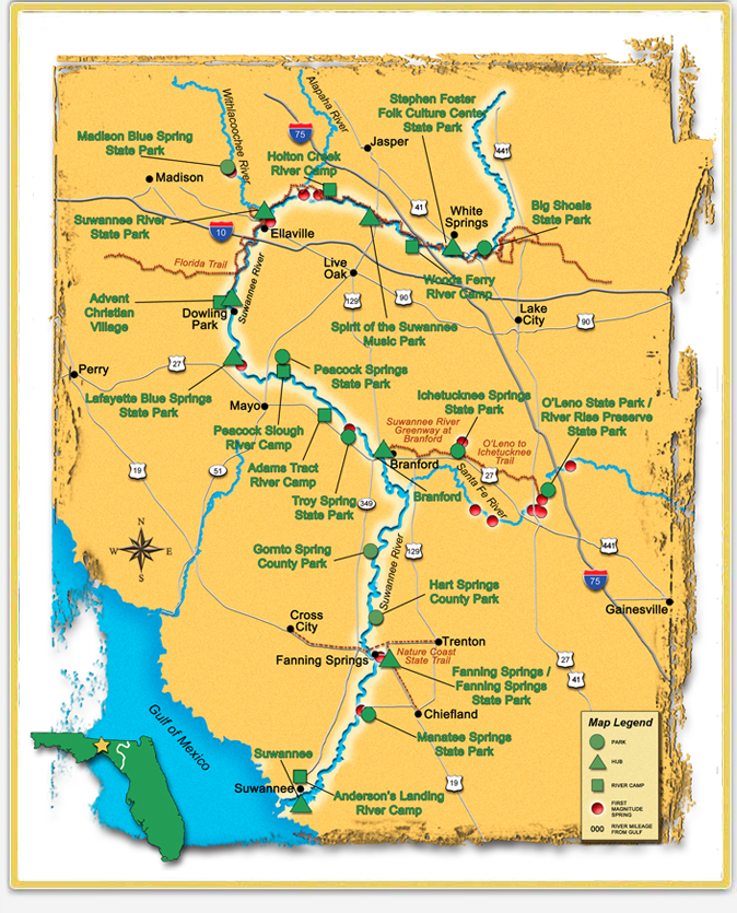
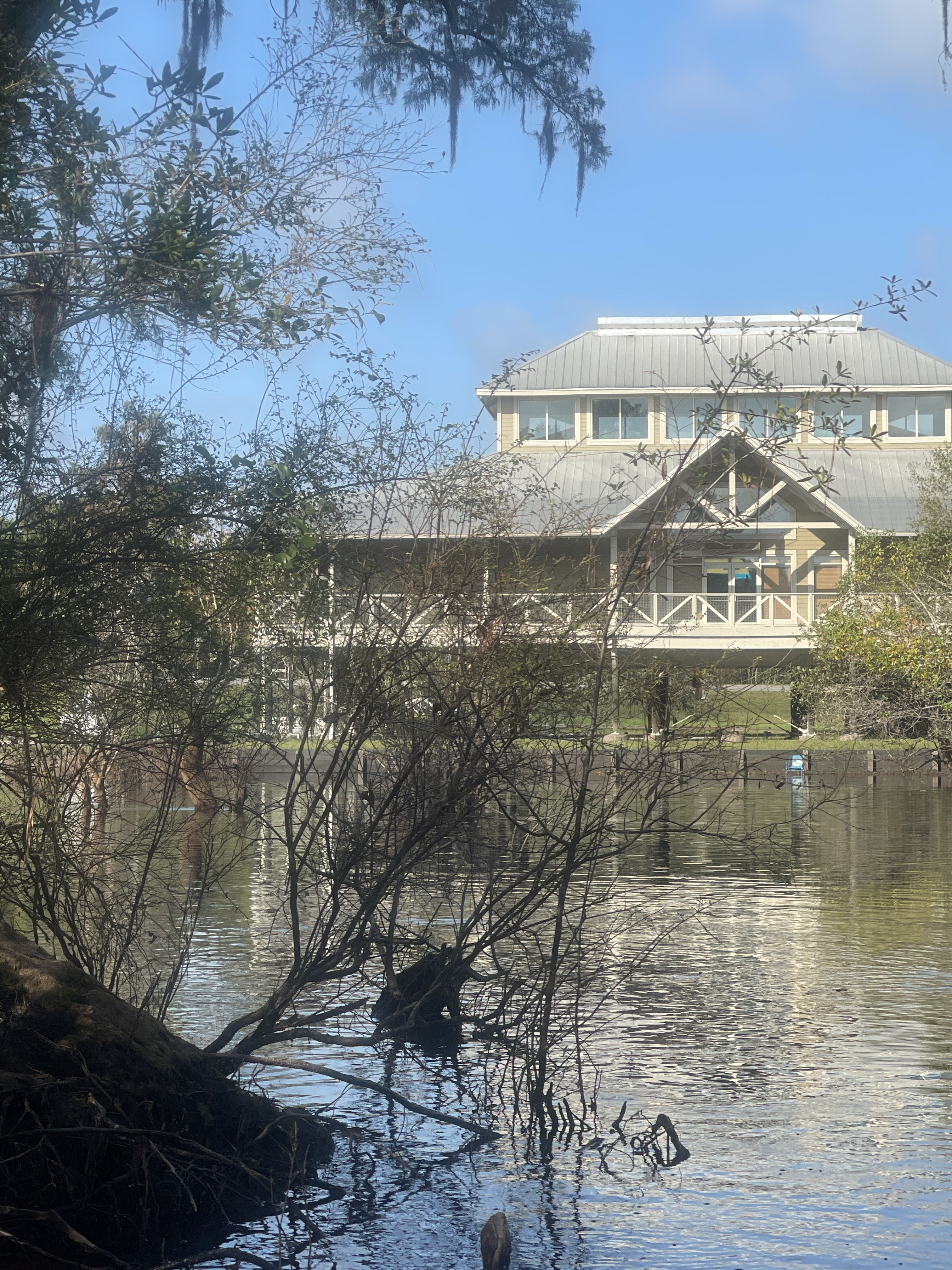
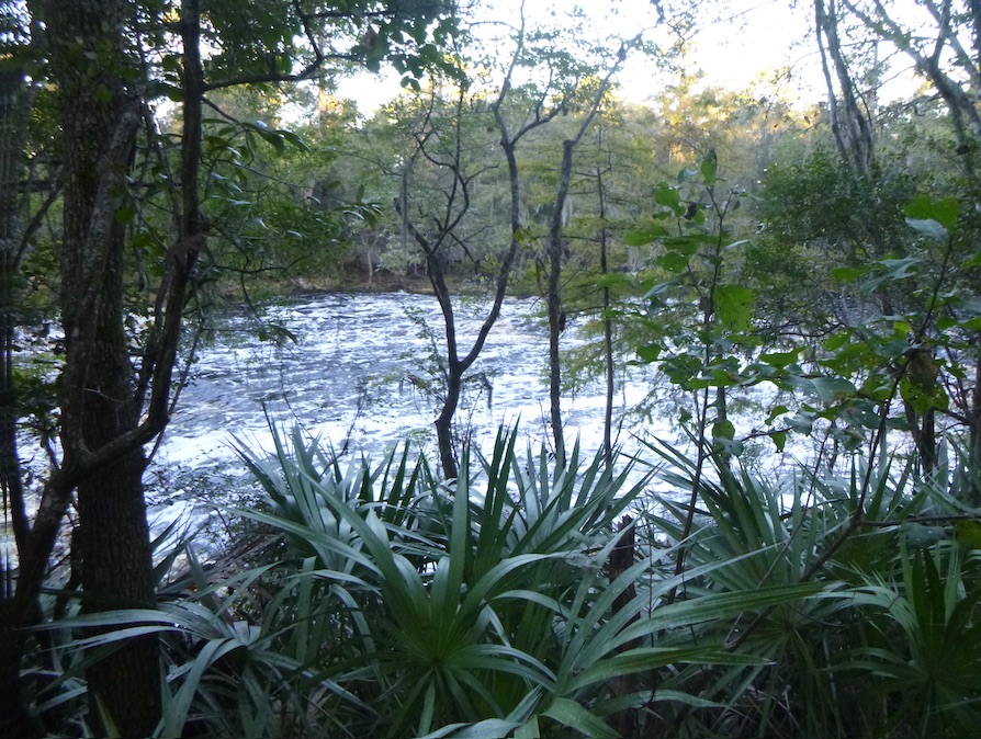
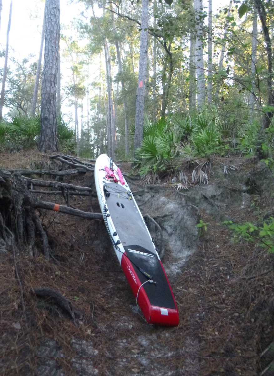


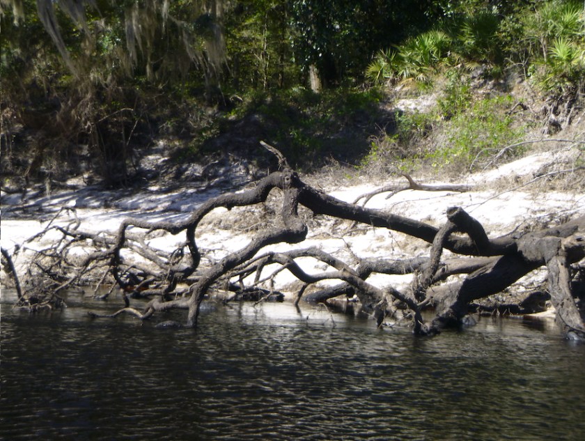
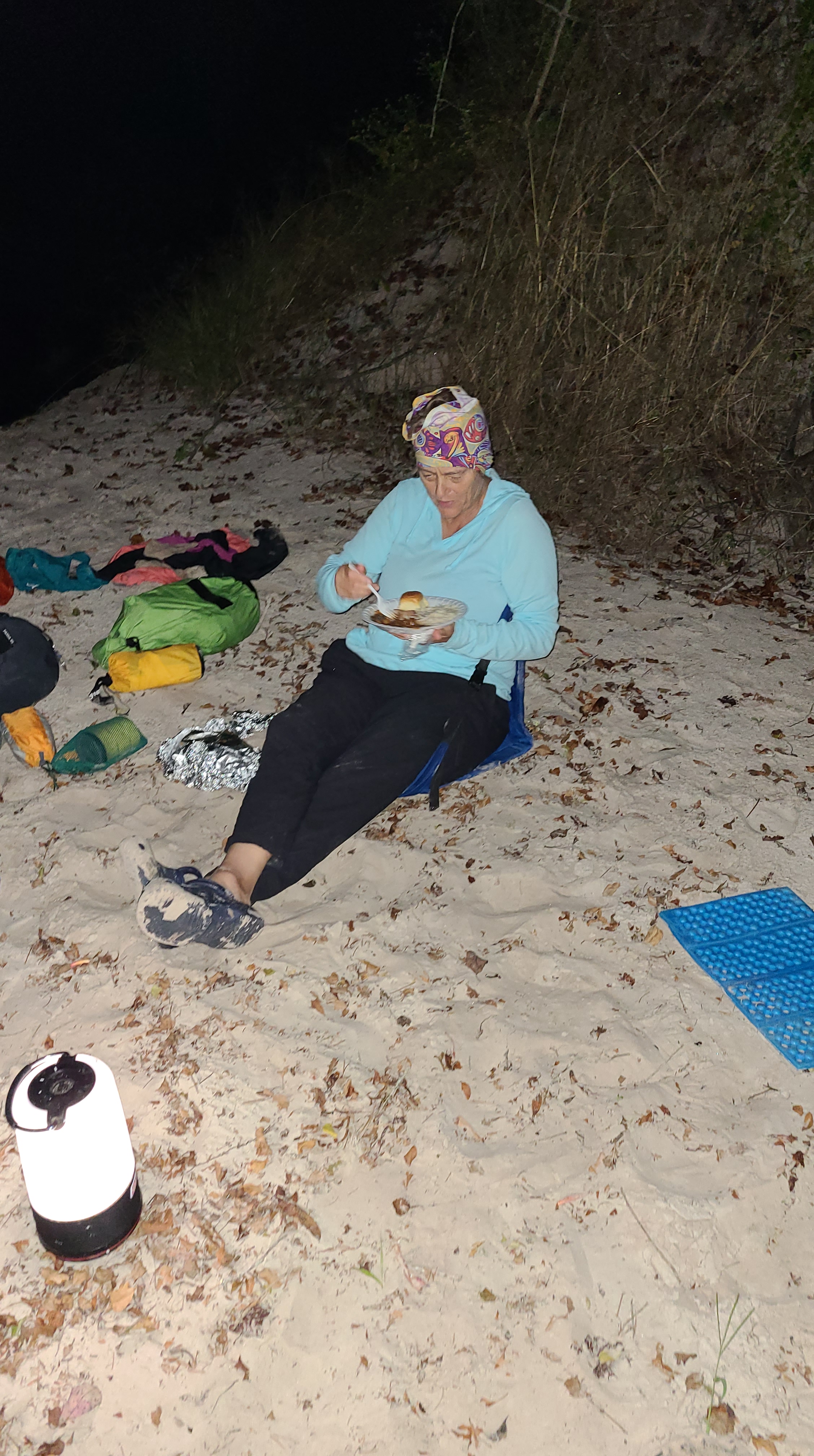

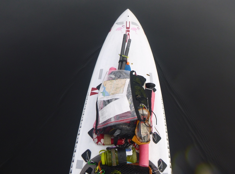
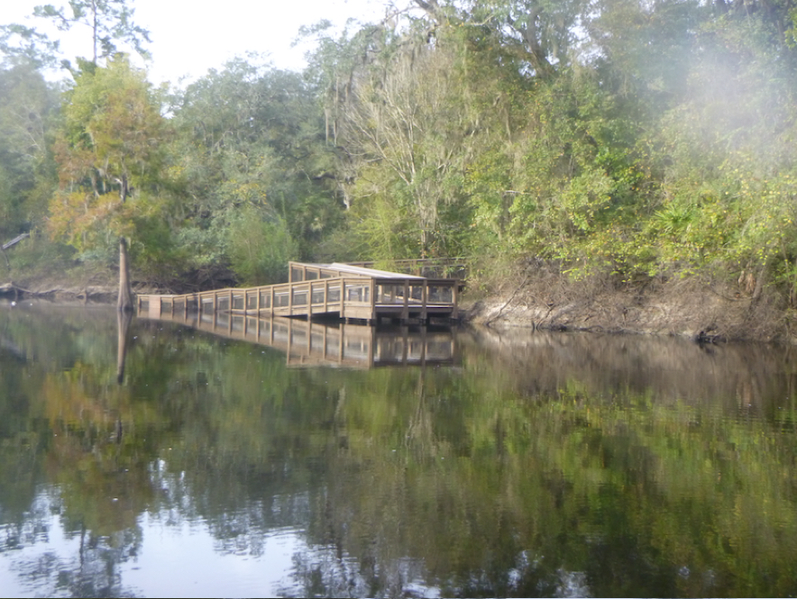
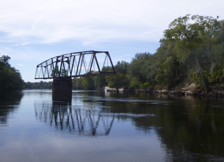
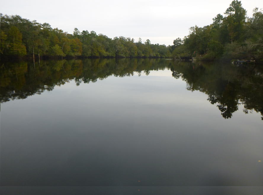

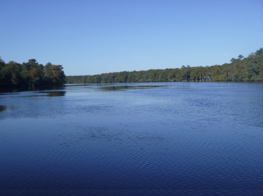
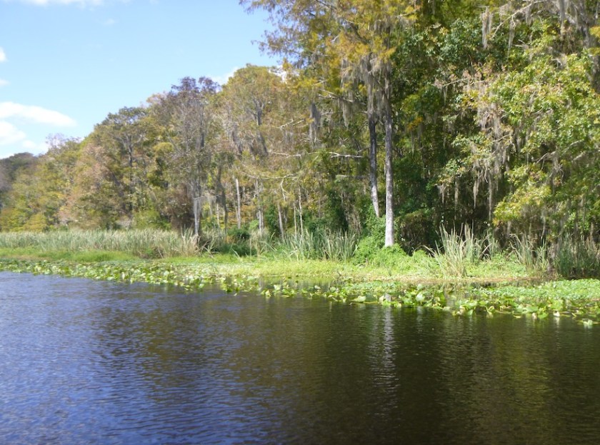


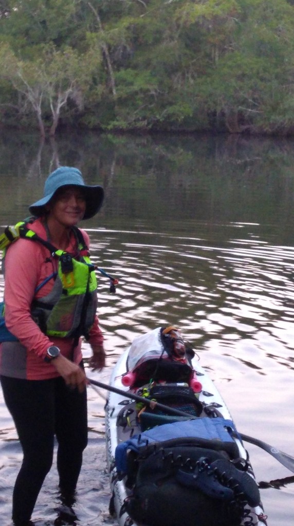
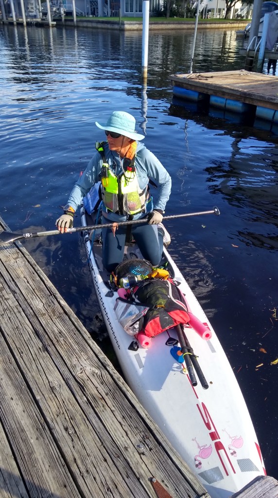

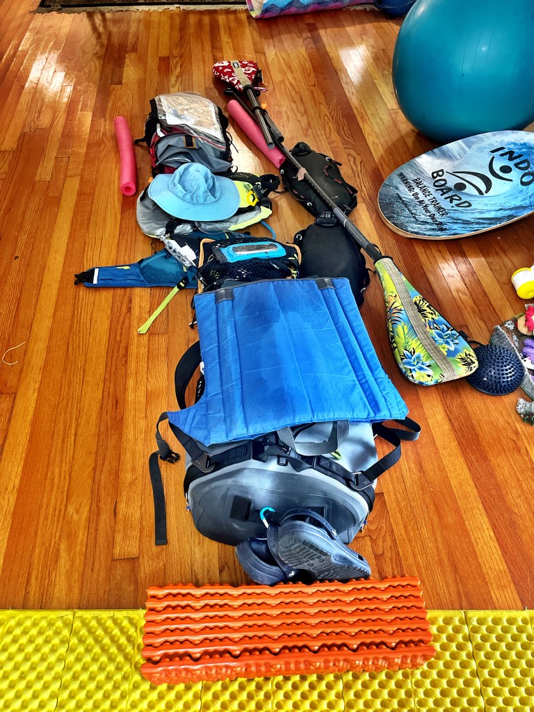


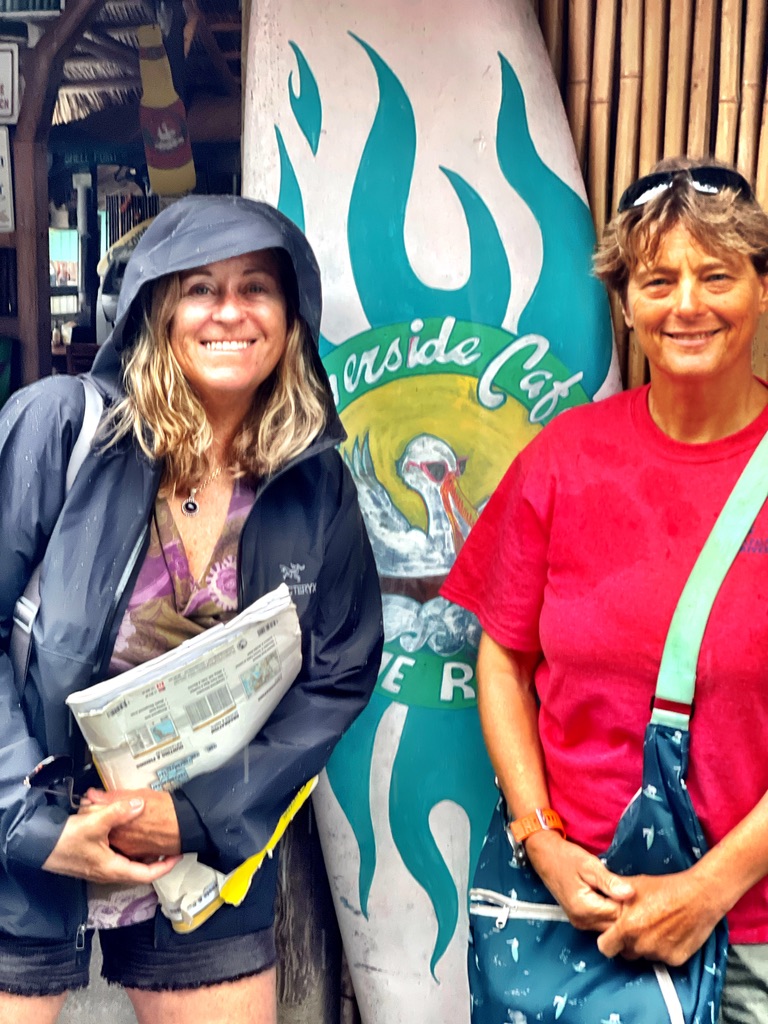


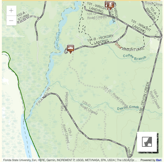
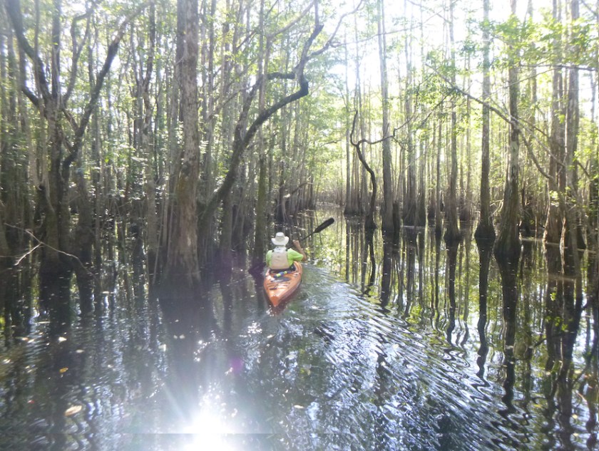
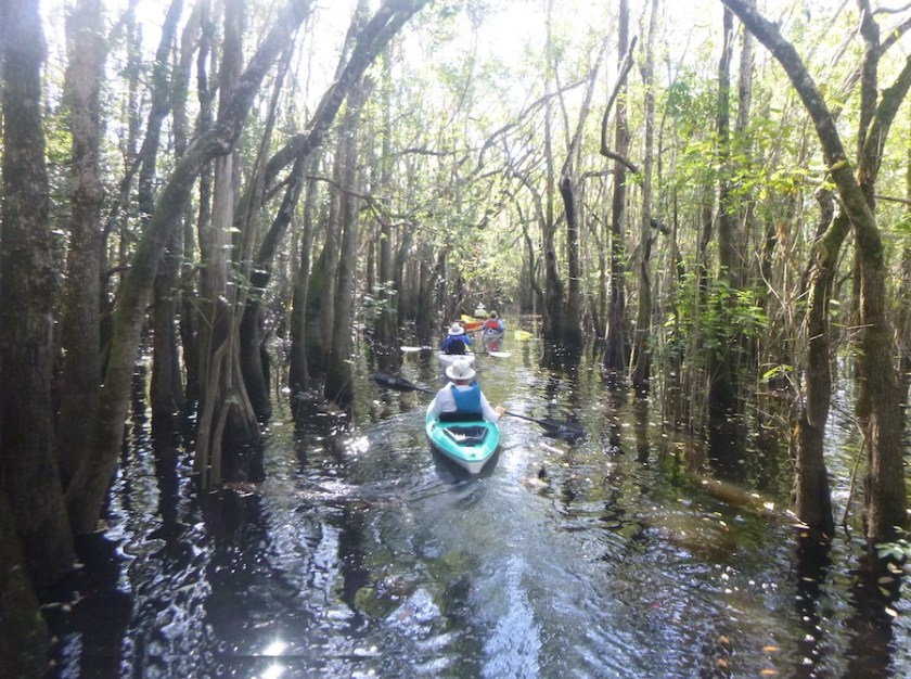
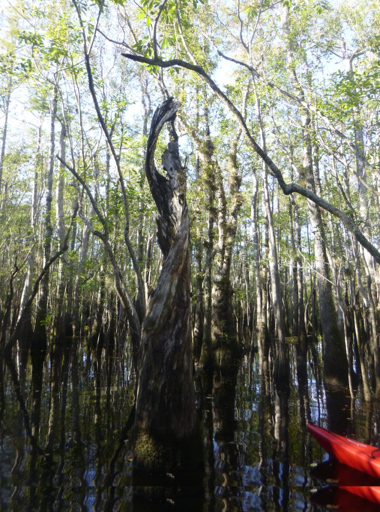

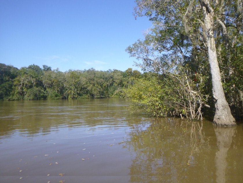


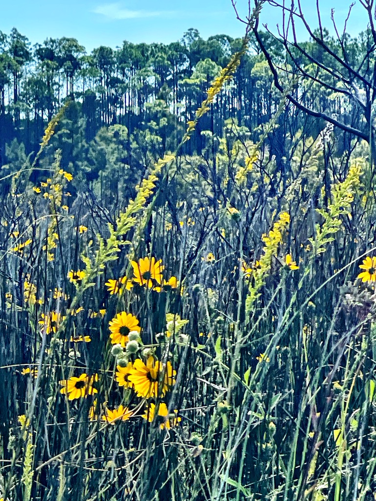
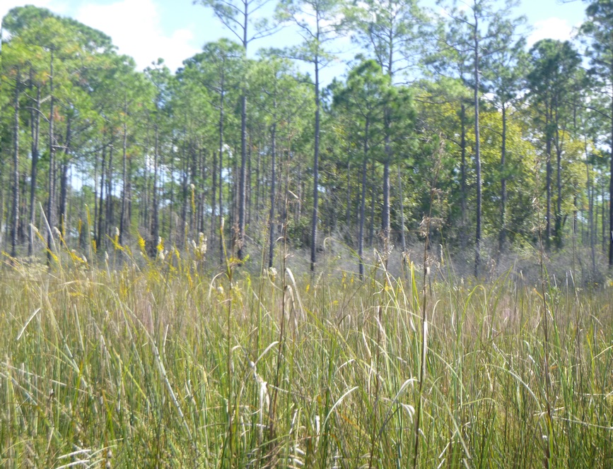
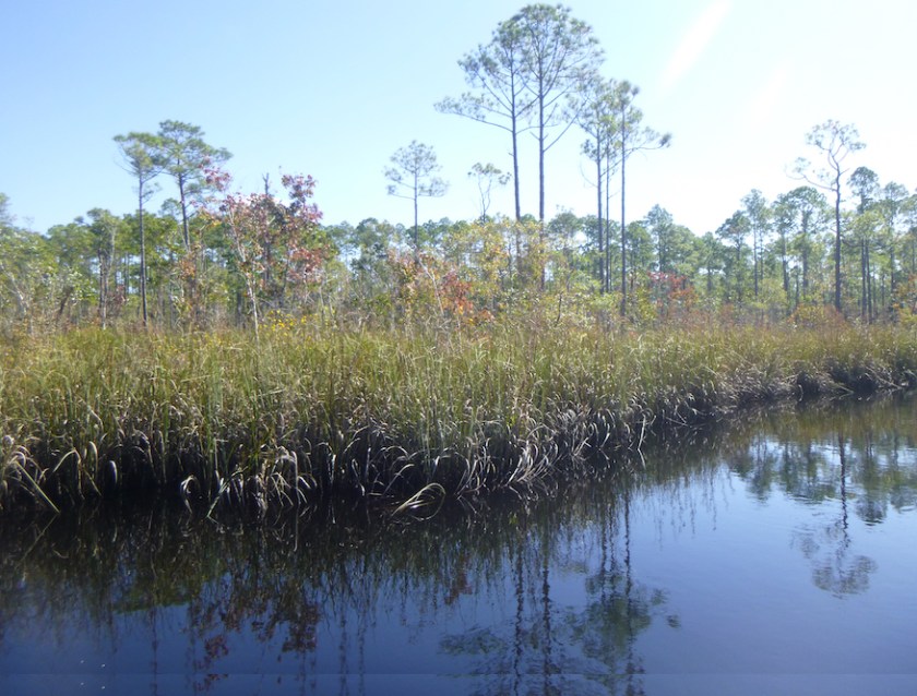


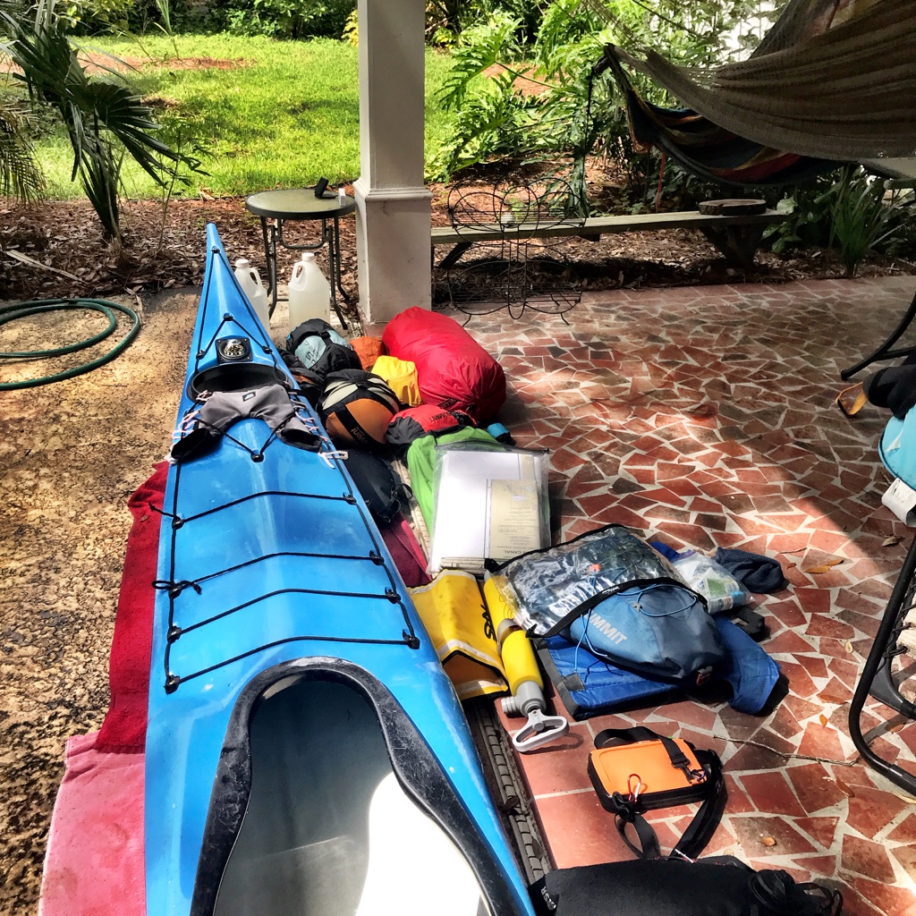

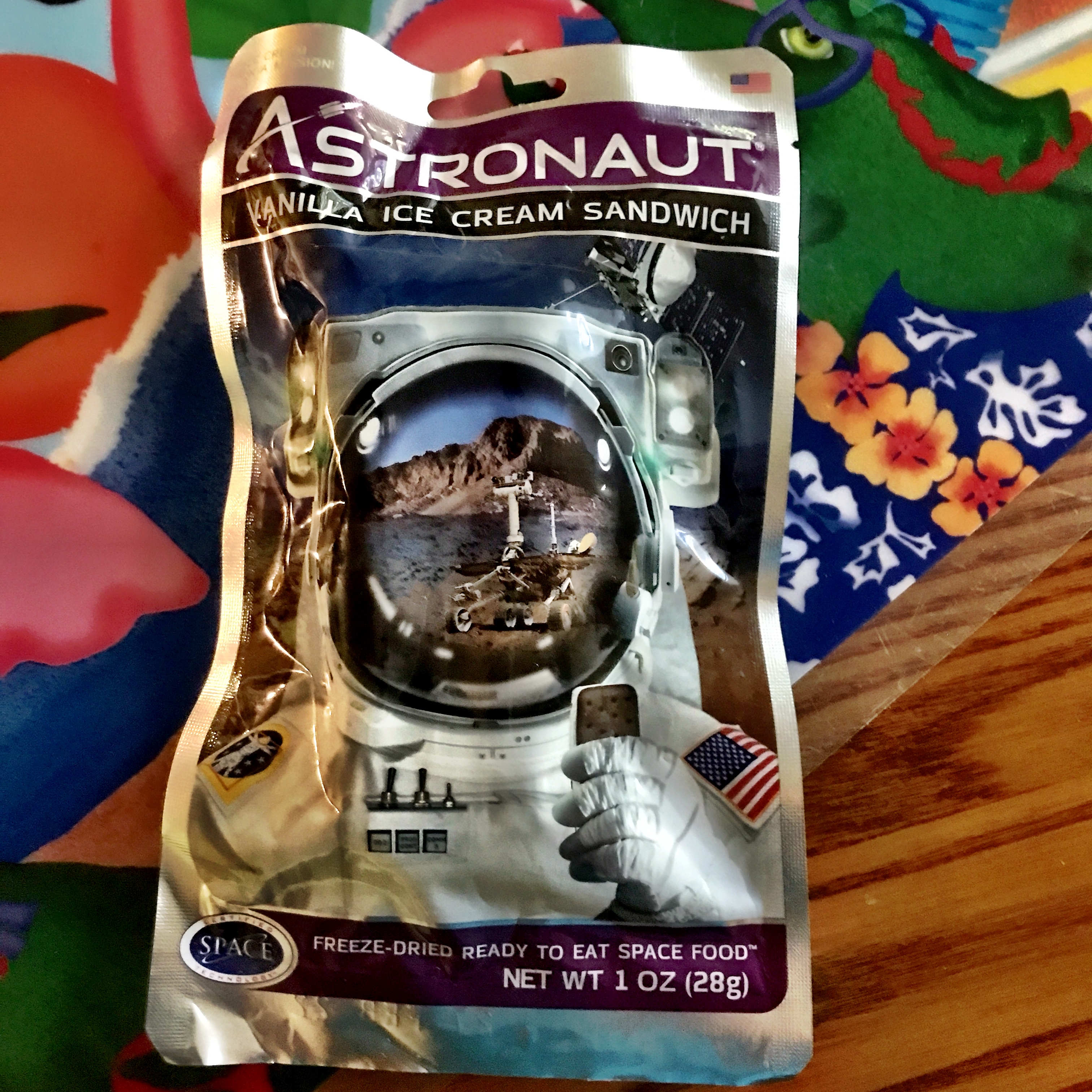


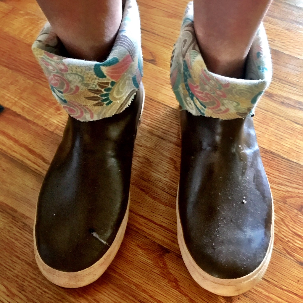
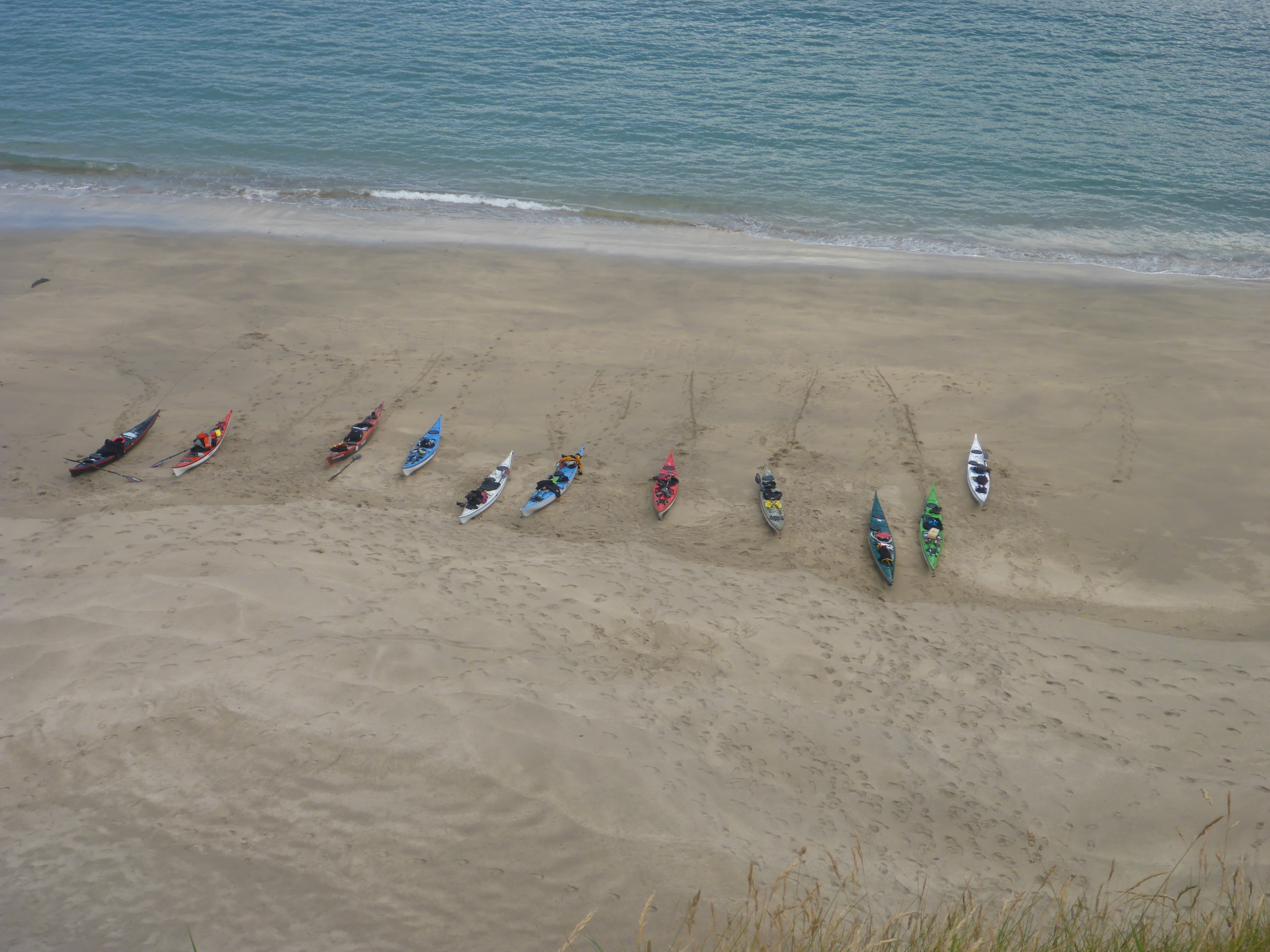
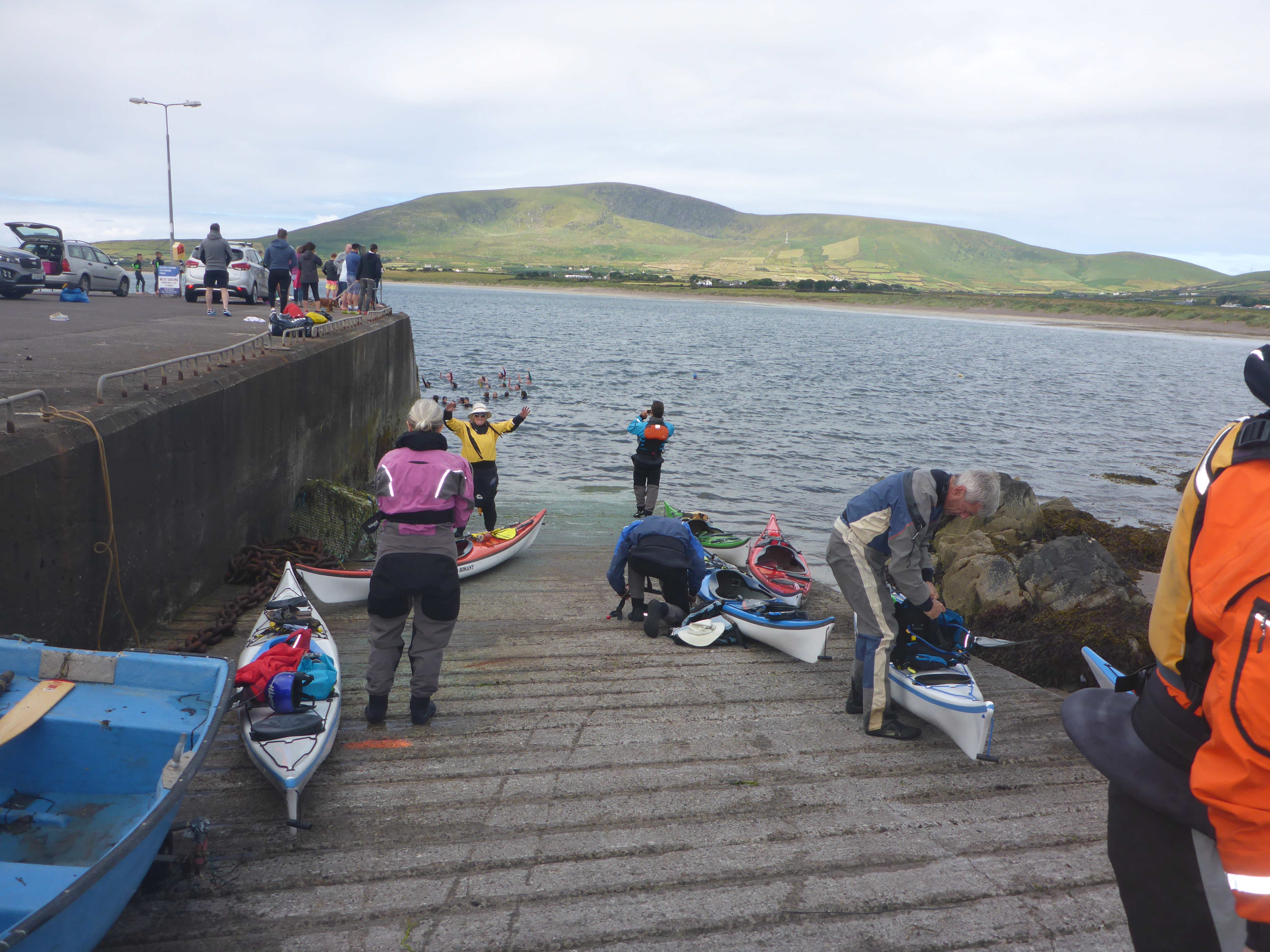
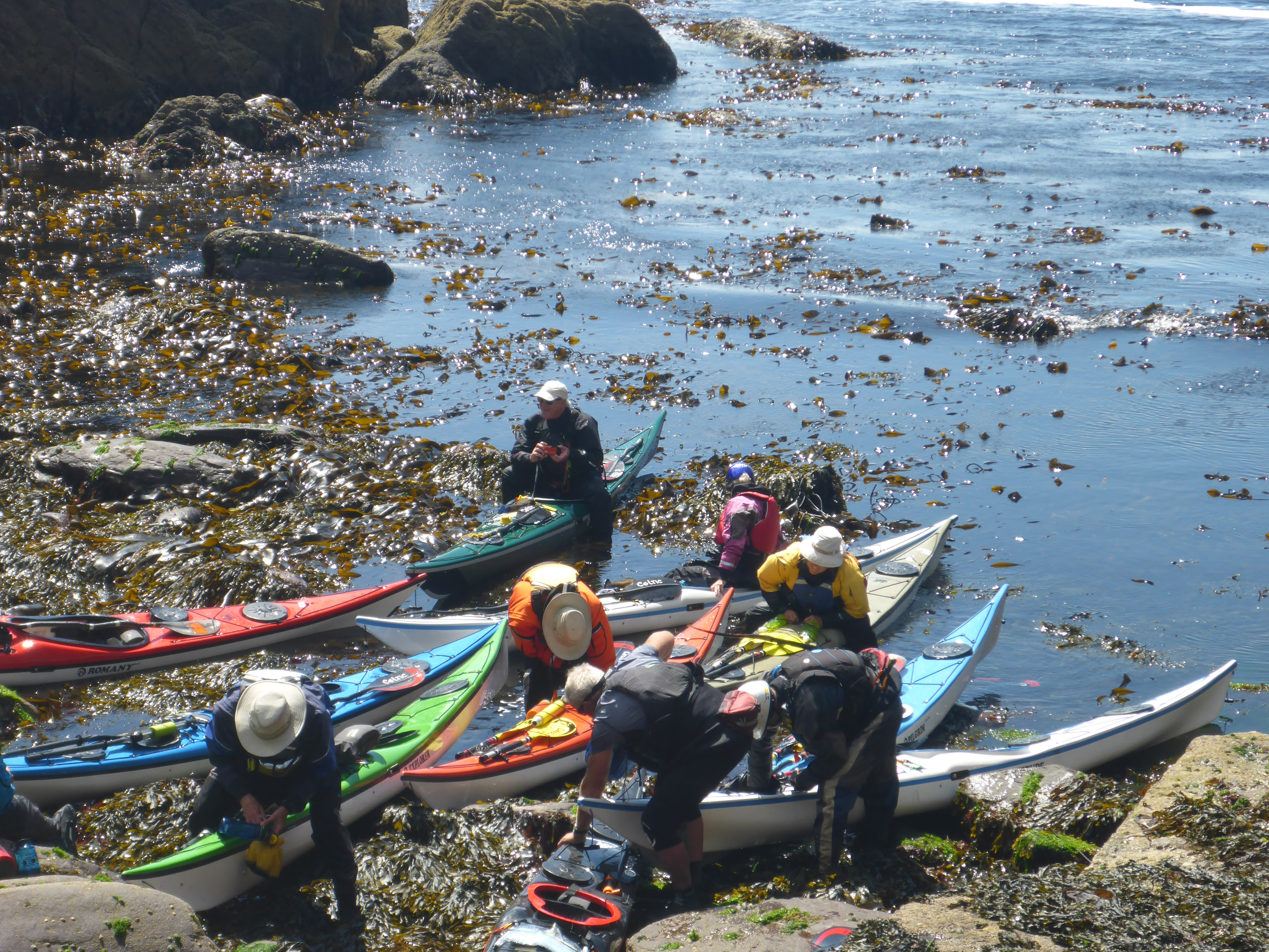


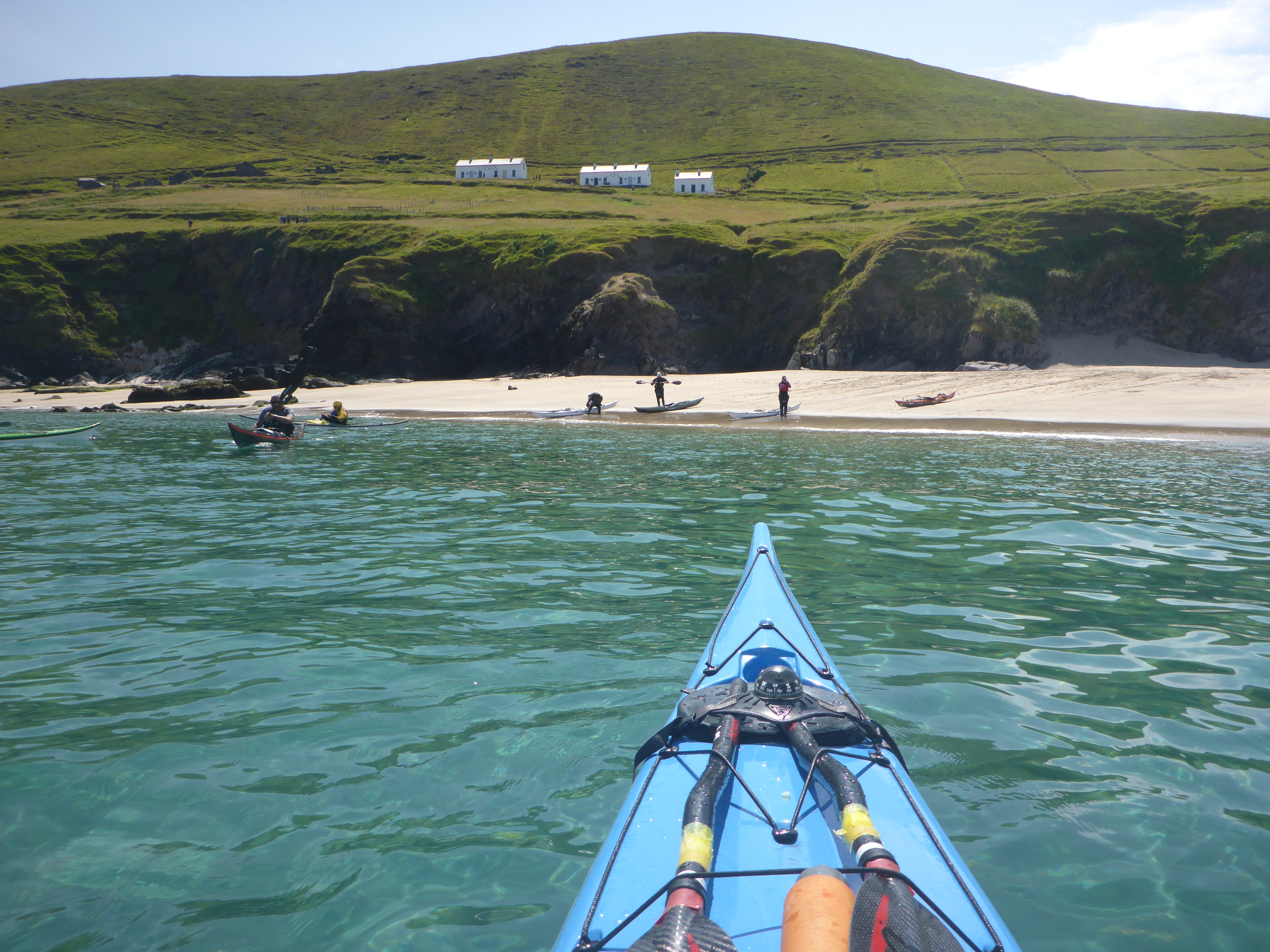

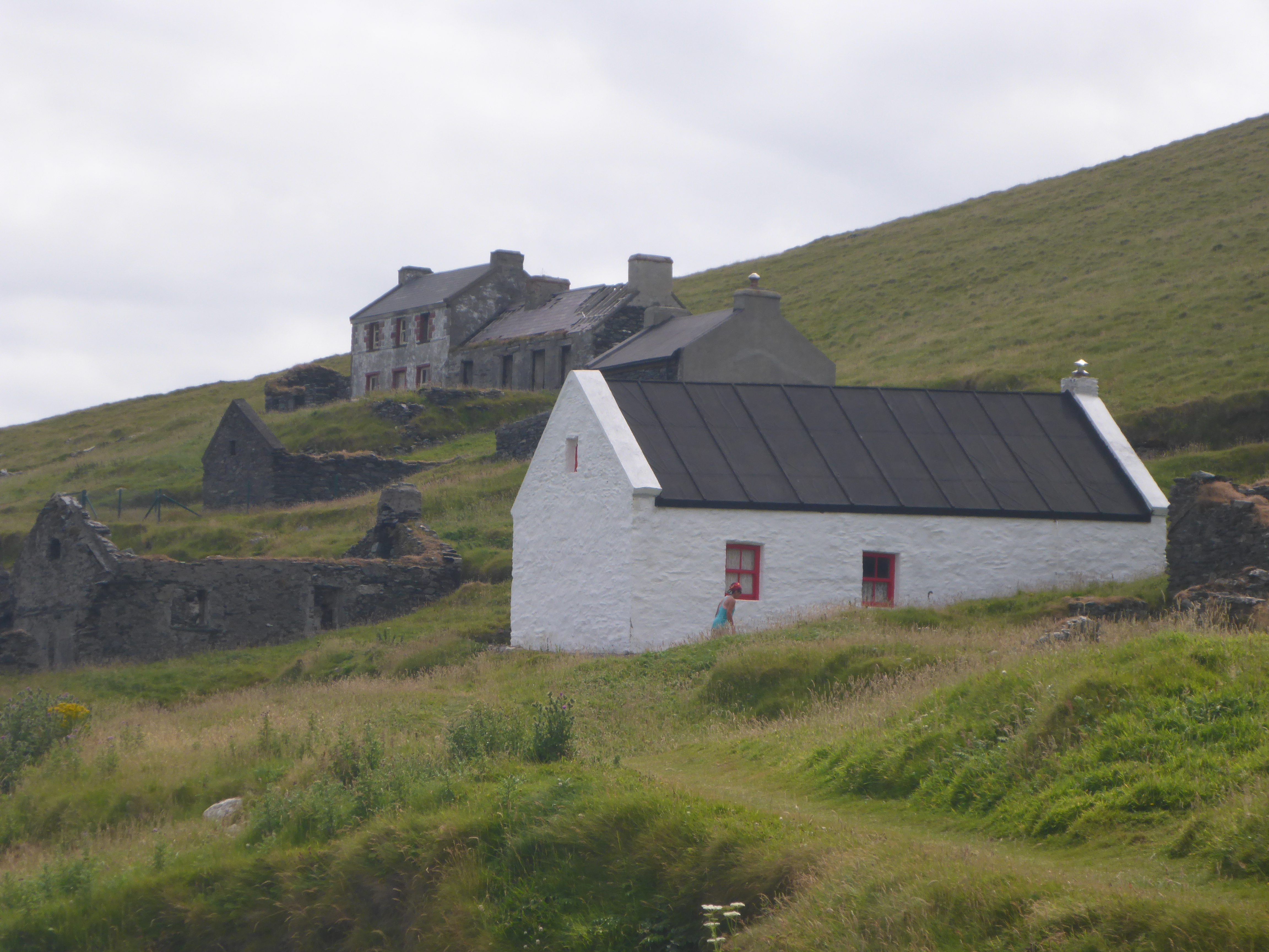
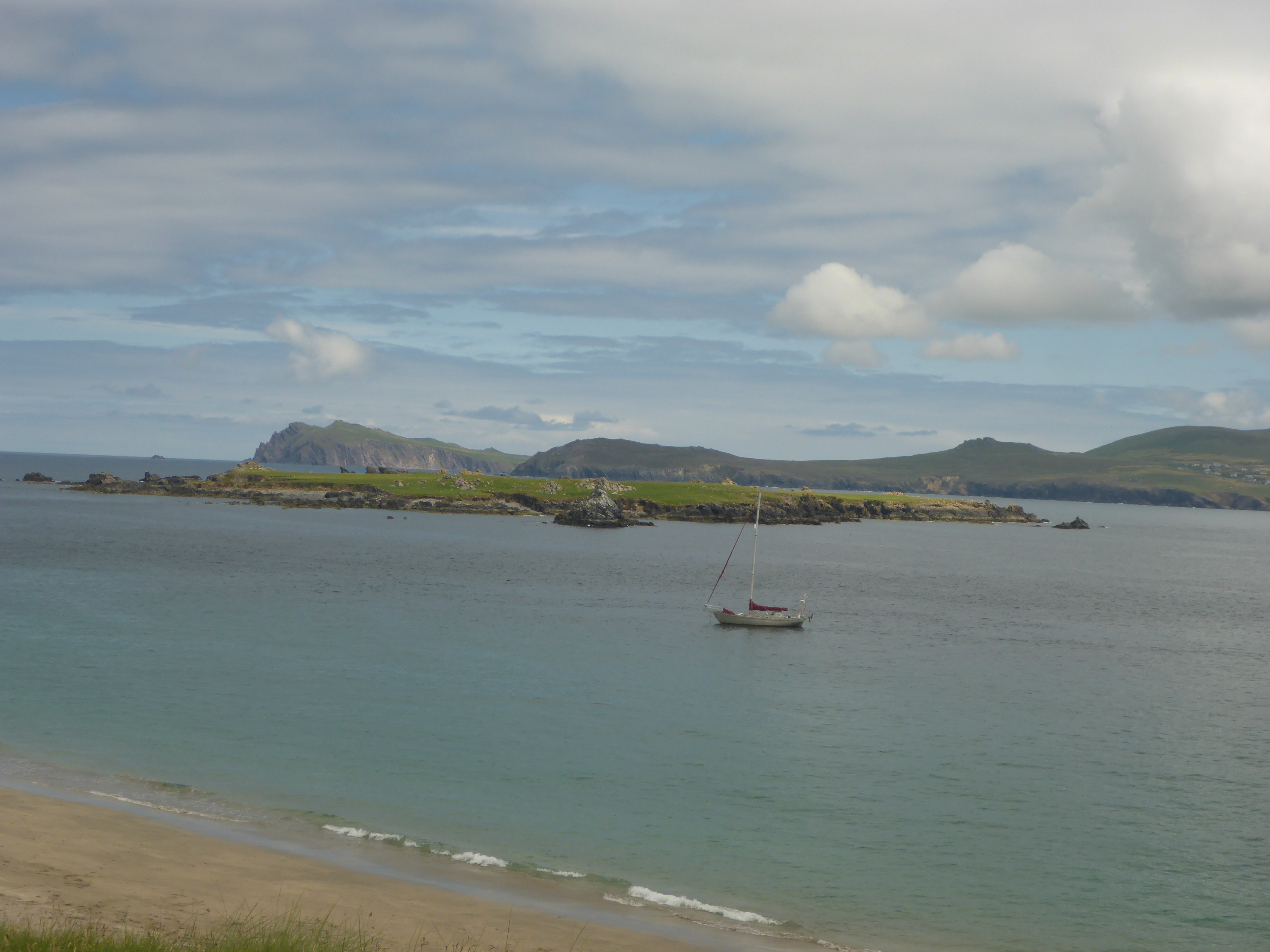

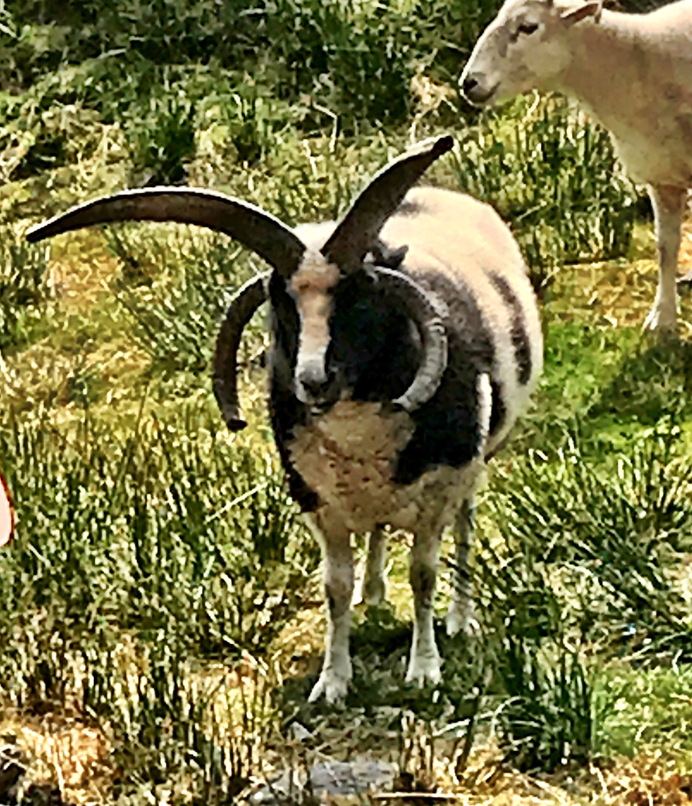 We heard rumors of coffee, and they were true! One building held a much welcome coffee and snack shop, which we all appreciated. A smaller unpainted building housed a weaver who spun her own wool and knitted scarves and hats. She lives on the island through the summer, until fall storms halt the ferry service. I bought a hat made from the wool of a